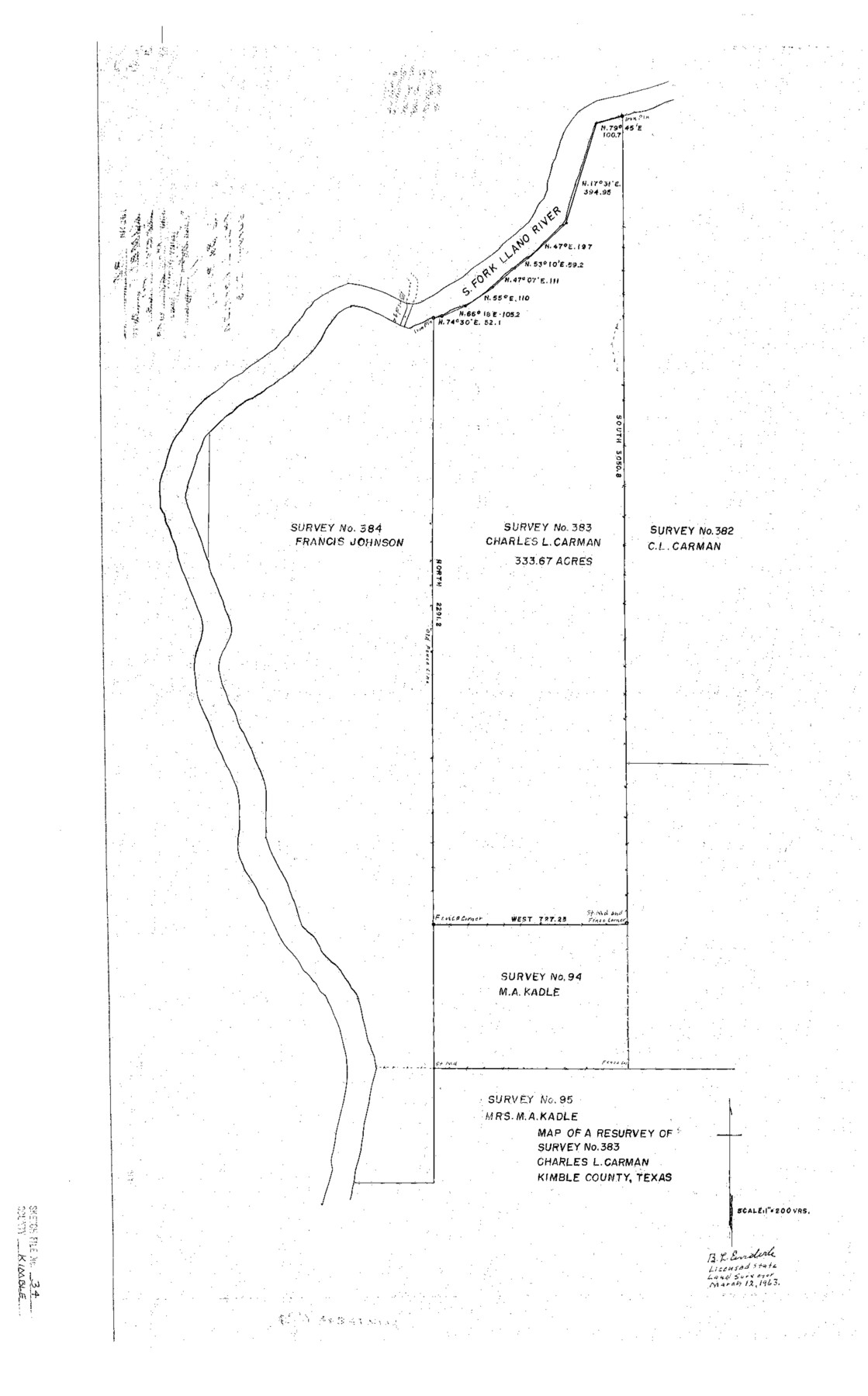
Kimble County Sketch File 34
Map of a Resurvey of Survey No. 383, Charles L. Carman, Kimble County, Texas
-
Map/Doc
11931
-
Collection
General Map Collection
-
Object Dates
3/12/1963 (Creation Date)
3/27/1963 (File Date)
-
People and Organizations
B.L. Enderle (Surveyor/Engineer)
-
Counties
Kimble
-
Subjects
Surveying Sketch File
-
Height x Width
26.2 x 16.3 inches
66.6 x 41.4 cm
-
Medium
paper, print
-
Scale
1" = 200 varas
-
Features
South Fork of Llano River
Part of: General Map Collection
Flight Mission No. DAG-23K, Frame 144, Matagorda County

Print $20.00
- Digital $50.00
Flight Mission No. DAG-23K, Frame 144, Matagorda County
1953
Size 17.4 x 22.6 inches
Map/Doc 86492
Controlled Mosaic by Jack Amman Photogrammetric Engineers, Inc - Sheet 46

Print $20.00
- Digital $50.00
Controlled Mosaic by Jack Amman Photogrammetric Engineers, Inc - Sheet 46
1954
Size 20.0 x 24.0 inches
Map/Doc 83505
Brewster County Sketch File 23

Print $12.00
- Digital $50.00
Brewster County Sketch File 23
1958
Size 11.3 x 8.7 inches
Map/Doc 15825
Bahia de S. Bernardo

Print $20.00
- Digital $50.00
Bahia de S. Bernardo
1809
Size 17.0 x 25.2 inches
Map/Doc 95142
Duval County Sketch File 55

Print $20.00
- Digital $50.00
Duval County Sketch File 55
1937
Size 22.3 x 17.1 inches
Map/Doc 11404
East Part of Brewster Co.

Print $40.00
- Digital $50.00
East Part of Brewster Co.
1952
Size 48.7 x 29.6 inches
Map/Doc 66734
Flight Mission No. DCL-6C, Frame 71, Kenedy County

Print $20.00
- Digital $50.00
Flight Mission No. DCL-6C, Frame 71, Kenedy County
1943
Size 18.6 x 22.3 inches
Map/Doc 85913
Brewster County Sketch File NS-5

Print $22.00
- Digital $50.00
Brewster County Sketch File NS-5
Size 11.2 x 8.8 inches
Map/Doc 15983
Supreme Court of the United States, October Term, 1924, No. 13, Original - The State of Oklahoma, Complainant vs. The State of Texas, Defendant, The United States, Intervener

Print $20.00
- Digital $50.00
Supreme Court of the United States, October Term, 1924, No. 13, Original - The State of Oklahoma, Complainant vs. The State of Texas, Defendant, The United States, Intervener
1924
Size 18.6 x 33.7 inches
Map/Doc 75118

Map of the Straits of Florida and Gulf of Mexico

Print $20.00
- Digital $50.00
Map of the Straits of Florida and Gulf of Mexico
1851
Size 18.3 x 27.5 inches
Map/Doc 72676
Pecos County Working Sketch 133

Print $20.00
- Digital $50.00
Pecos County Working Sketch 133
1979
Size 44.0 x 37.2 inches
Map/Doc 71607
You may also like

Erath County Working Sketch 48

Print $20.00
- Digital $50.00
Erath County Working Sketch 48
1989
Size 36.5 x 47.6 inches
Map/Doc 69129
Pecos County Working Sketch 91a

Print $40.00
- Digital $50.00
Pecos County Working Sketch 91a
1965
Size 78.9 x 32.5 inches
Map/Doc 71563
Matagorda County Aerial Photograph Index Sheet 8

Print $20.00
- Digital $50.00
Matagorda County Aerial Photograph Index Sheet 8
1953
Size 19.6 x 23.8 inches
Map/Doc 83729
Childress County Sketch File 2

Print $24.00
- Digital $50.00
Childress County Sketch File 2
Size 6.5 x 16.1 inches
Map/Doc 18244
Sketch in Gaines and Dawson Counties

Print $20.00
- Digital $50.00
Sketch in Gaines and Dawson Counties
1950
Size 16.0 x 31.3 inches
Map/Doc 92586
Hardin County Rolled Sketch 21

Print $20.00
- Digital $50.00
Hardin County Rolled Sketch 21
1966
Size 18.8 x 22.7 inches
Map/Doc 6090
Matagorda County Sketch File 6

Print $4.00
- Digital $50.00
Matagorda County Sketch File 6
Size 8.0 x 4.9 inches
Map/Doc 30738
[Surveys along Richland Creek]
![320, [Surveys along Richland Creek], General Map Collection](https://historictexasmaps.com/wmedia_w700/maps/320.tif.jpg)
Print $2.00
- Digital $50.00
[Surveys along Richland Creek]
Size 7.2 x 6.0 inches
Map/Doc 320
Map of Jackson County

Print $20.00
- Digital $50.00
Map of Jackson County
1865
Size 22.2 x 19.9 inches
Map/Doc 3709
Galveston County Rolled Sketch 39

Print $20.00
- Digital $50.00
Galveston County Rolled Sketch 39
Size 18.1 x 21.5 inches
Map/Doc 45207
Reeves County Working Sketch 50

Print $20.00
- Digital $50.00
Reeves County Working Sketch 50
1974
Size 45.3 x 30.4 inches
Map/Doc 63493