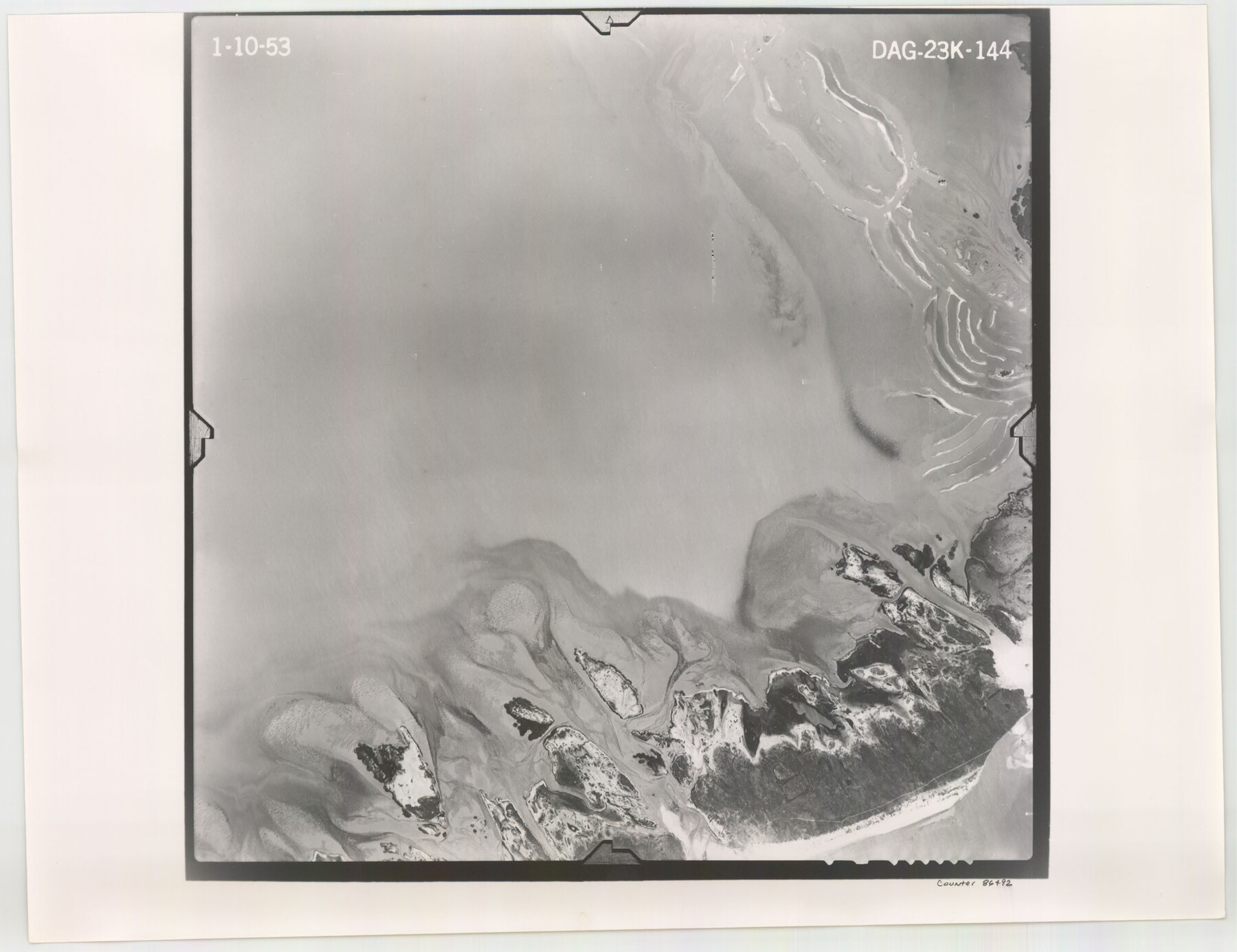
Flight Mission No. DAG-23K, Frame 144, Matagorda County
DAG-23K-144
-
Map/Doc
86492
-
Collection
General Map Collection
-
Object Dates
1953/1/10 (Creation Date)
-
People and Organizations
U. S. Department of Agriculture (Publisher)
-
Counties
Matagorda
-
Subjects
Aerial Photograph
-
Height x Width
17.4 x 22.6 inches
44.2 x 57.4 cm
-
Comments
Flown by Aero Exploration Company of Tulsa, Oklahoma.
Part of: General Map Collection

Trinity County Sketch File 33A

Print $6.00
- Digital $50.00
Trinity County Sketch File 33A
1920
Size 6.5 x 6.8 inches
Map/Doc 38575

Houston County Sketch File 39

Print $6.00
- Digital $50.00
Houston County Sketch File 39
1845
Size 17.0 x 10.9 inches
Map/Doc 26824
Garza County Sketch File 30

Print $8.00
- Digital $50.00
Garza County Sketch File 30
1959
Size 14.3 x 8.8 inches
Map/Doc 24100
Red River County Sketch File 27

Print $4.00
- Digital $50.00
Red River County Sketch File 27
1848
Size 12.8 x 8.3 inches
Map/Doc 35163
Parker County Working Sketch 19-1

Print $20.00
- Digital $50.00
Parker County Working Sketch 19-1
2004
Map/Doc 83579
Liberty County Rolled Sketch O

Print $40.00
- Digital $50.00
Liberty County Rolled Sketch O
1954
Size 44.3 x 53.7 inches
Map/Doc 10183
Anderson County Working Sketch 28

Print $20.00
- Digital $50.00
Anderson County Working Sketch 28
1961
Size 23.7 x 26.5 inches
Map/Doc 67028
Reagan County Rolled Sketch 21

Print $20.00
- Digital $50.00
Reagan County Rolled Sketch 21
1950
Size 32.5 x 42.2 inches
Map/Doc 9815
Medina County Working Sketch 10

Print $20.00
- Digital $50.00
Medina County Working Sketch 10
1960
Size 37.4 x 32.9 inches
Map/Doc 70925
Garza County Rolled Sketch 6A

Print $20.00
- Digital $50.00
Garza County Rolled Sketch 6A
1902
Size 29.2 x 35.9 inches
Map/Doc 9053
You may also like
Hutchinson County Rolled Sketch 21

Print $20.00
- Digital $50.00
Hutchinson County Rolled Sketch 21
Size 28.4 x 36.1 inches
Map/Doc 6286
Kerr County Working Sketch 1

Print $20.00
- Digital $50.00
Kerr County Working Sketch 1
1900
Size 18.5 x 18.0 inches
Map/Doc 70032
Galveston County NRC Article 33.136 Location Key Sheet

Print $20.00
- Digital $50.00
Galveston County NRC Article 33.136 Location Key Sheet
1994
Size 27.0 x 21.8 inches
Map/Doc 77021
Official Map of the Highway System of Texas

Digital $50.00
Official Map of the Highway System of Texas
1935
Size 25.1 x 25.9 inches
Map/Doc 93721
Presidio County Sketch File 102

Print $4.00
- Digital $50.00
Presidio County Sketch File 102
Size 11.3 x 8.8 inches
Map/Doc 34793
Brazos River, Sketch Map of Imperial and Harlem State Prison Farms, Fort Bend County Texas Showing Tentative Plan of Reclamation

Print $20.00
- Digital $50.00
Brazos River, Sketch Map of Imperial and Harlem State Prison Farms, Fort Bend County Texas Showing Tentative Plan of Reclamation
1929
Size 25.6 x 25.6 inches
Map/Doc 69681
Flight Mission No. DIX-5P, Frame 138, Aransas County

Print $20.00
- Digital $50.00
Flight Mission No. DIX-5P, Frame 138, Aransas County
1956
Size 17.7 x 17.9 inches
Map/Doc 83799
Galveston County Aerial Photograph Index Sheet 5

Print $20.00
- Digital $50.00
Galveston County Aerial Photograph Index Sheet 5
1953
Size 23.1 x 18.8 inches
Map/Doc 83696
Caldwell County Working Sketch 5

Print $20.00
- Digital $50.00
Caldwell County Working Sketch 5
1940
Size 19.9 x 27.4 inches
Map/Doc 67835

Grayson County Sketch File 1

Print $2.00
- Digital $50.00
Grayson County Sketch File 1
1854
Size 8.4 x 3.3 inches
Map/Doc 24459
Cherokee County Sketch File 10

Print $4.00
- Digital $50.00
Cherokee County Sketch File 10
1847
Size 8.2 x 9.5 inches
Map/Doc 18136