
Kimble County Sketch File 43
2021

Kimble County Working Sketch 97
2012

Kimble County Rolled Sketch 42
1995

Kimble County Sketch File 42
1995
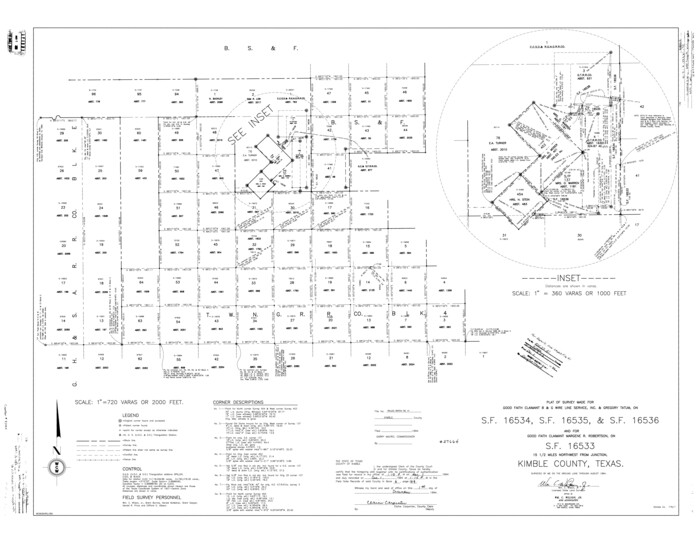
Kimble County Rolled Sketch 41
1994

Kimble County Sketch File 41
1994
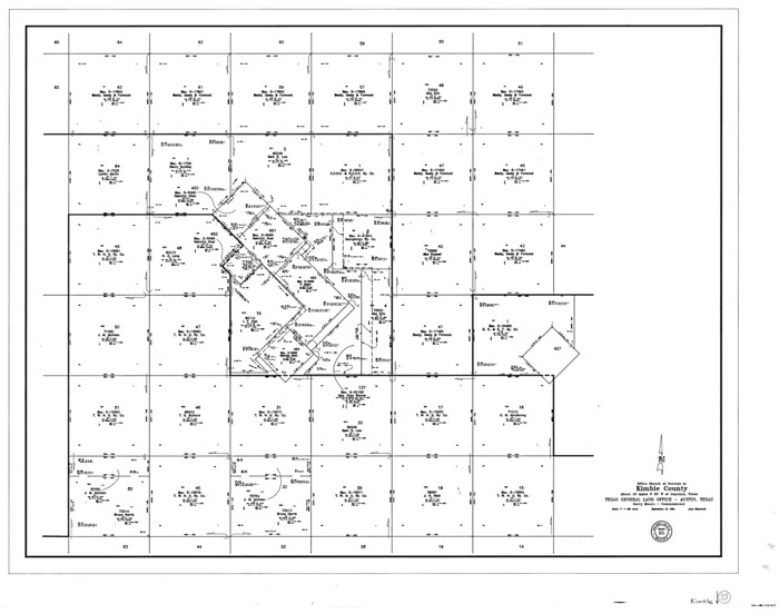
Kimble County Working Sketch 95
1994

Kimble County Working Sketch 94
1993

Kimble County Sketch File 38
1989

Kimble County Rolled Sketch 38
1986
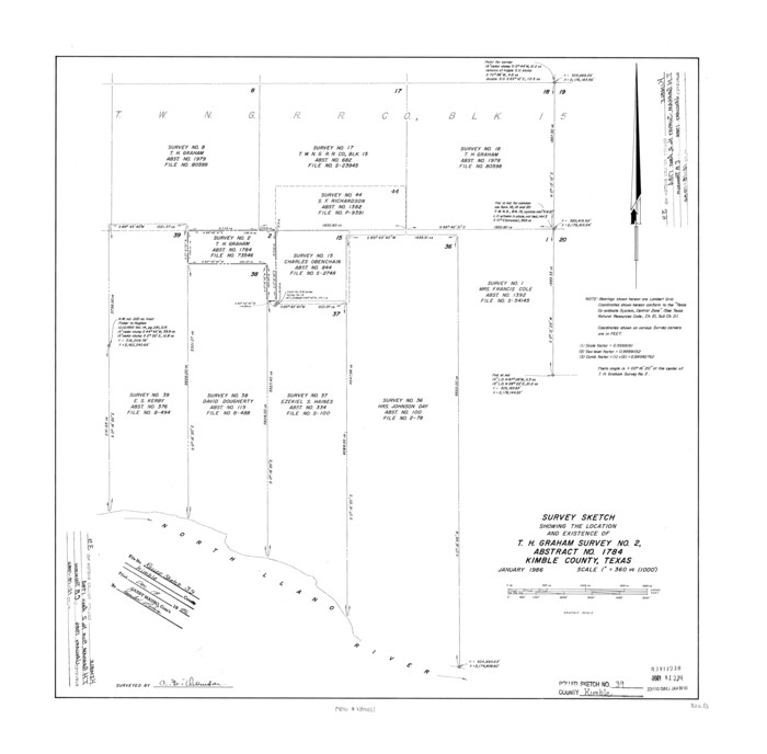
Kimble County Rolled Sketch 39
1986
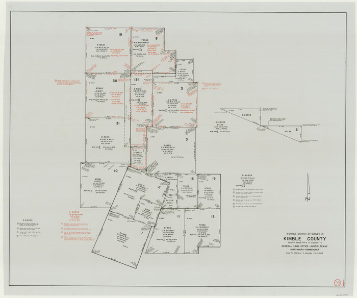
Kimble County Working Sketch 93
1983
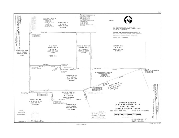
Kimble County Rolled Sketch 37
1982
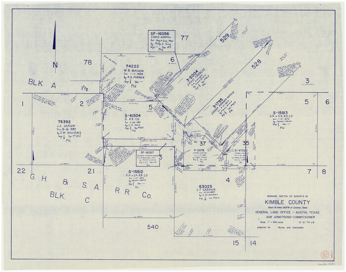
Kimble County Working Sketch 92
1979
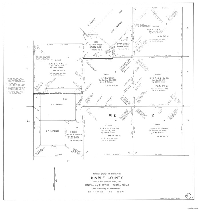
Kimble County Working Sketch 91
1979

Kimble County Working Sketch 90
1979
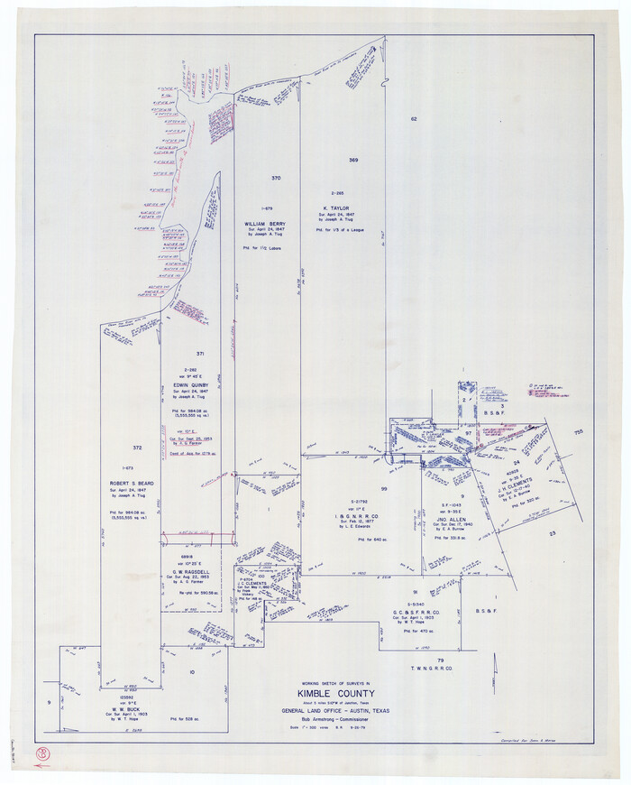
Kimble County Working Sketch 89
1979

Kimble County Rolled Sketch 35
1978

Kimble County Rolled Sketch 34
1976
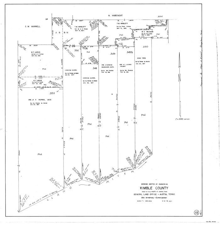
Kimble County Working Sketch 88
1976

Kimble County Working Sketch 87
1974
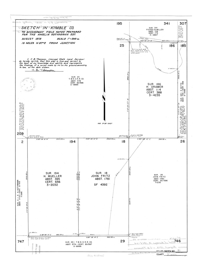
Kimble County Rolled Sketch 33
1973

Kimble County Rolled Sketch 32
1973
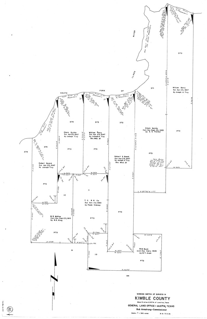
Kimble County Working Sketch 86
1973
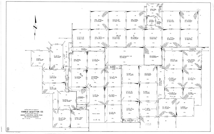
Kimble County Working Sketch 85
1972
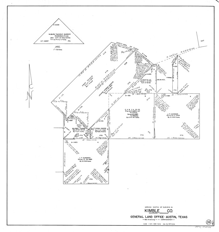
Kimble County Working Sketch 84
1972
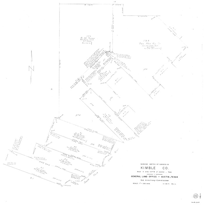
Kimble County Working Sketch 83
1971

Kimble County Working Sketch 82
1971
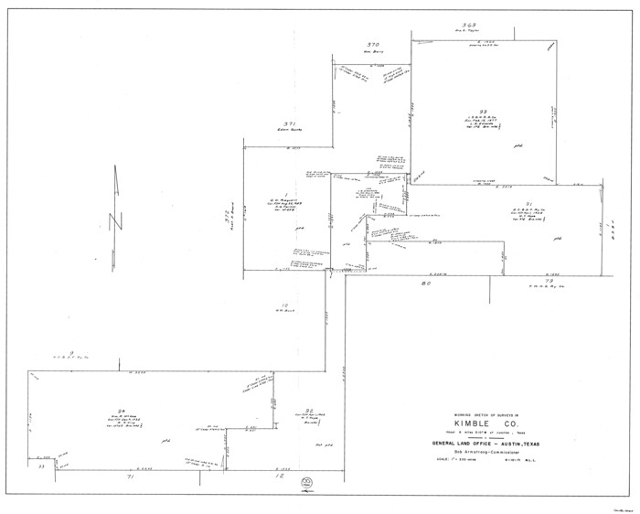
Kimble County Working Sketch 81
1971
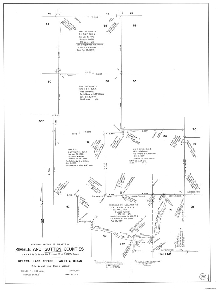
Kimble County Working Sketch 80
1971

Kimble County Sketch File 43
2021
-
Size
11.0 x 8.5 inches
-
Map/Doc
96811
-
Creation Date
2021

Kimble County Working Sketch 97
2012
-
Size
42.8 x 36.6 inches
-
Map/Doc
93388
-
Creation Date
2012

Kimble County Rolled Sketch 42
1995
-
Size
37.7 x 47.8 inches
-
Map/Doc
9341
-
Creation Date
1995

Kimble County Sketch File 42
1995
-
Size
11.2 x 8.8 inches
-
Map/Doc
29015
-
Creation Date
1995

Kimble County Rolled Sketch 41
1994
-
Size
38.0 x 48.9 inches
-
Map/Doc
9340
-
Creation Date
1994

Kimble County Sketch File 41
1994
-
Size
11.2 x 8.7 inches
-
Map/Doc
29010
-
Creation Date
1994

Kimble County Working Sketch 95
1994
-
Size
36.2 x 45.9 inches
-
Map/Doc
70163
-
Creation Date
1994

Kimble County Working Sketch 94
1993
-
Size
28.3 x 33.7 inches
-
Map/Doc
70162
-
Creation Date
1993

Kimble County Sketch File 38
1989
-
Size
3.6 x 4.0 inches
-
Map/Doc
28992
-
Creation Date
1989

Kimble County Rolled Sketch 38
1986
-
Size
28.3 x 21.7 inches
-
Map/Doc
6528
-
Creation Date
1986

Kimble County Rolled Sketch 39
1986
-
Size
27.0 x 27.5 inches
-
Map/Doc
6529
-
Creation Date
1986

Kimble County Working Sketch 93
1983
-
Size
31.5 x 37.8 inches
-
Map/Doc
70161
-
Creation Date
1983

Kimble County Rolled Sketch 37
1982
-
Size
21.6 x 28.0 inches
-
Map/Doc
6527
-
Creation Date
1982

Kimble County Working Sketch 92
1979
-
Size
24.0 x 30.6 inches
-
Map/Doc
70160
-
Creation Date
1979

Kimble County Working Sketch 91
1979
-
Size
26.8 x 25.5 inches
-
Map/Doc
70159
-
Creation Date
1979

Kimble County Working Sketch 90
1979
-
Size
17.3 x 28.2 inches
-
Map/Doc
70158
-
Creation Date
1979

Kimble County Working Sketch 89
1979
-
Size
41.2 x 33.2 inches
-
Map/Doc
70157
-
Creation Date
1979

Kimble County Rolled Sketch 35
1978
-
Size
20.0 x 19.6 inches
-
Map/Doc
6525
-
Creation Date
1978

Kimble County Rolled Sketch 34
1976
-
Size
35.0 x 20.2 inches
-
Map/Doc
6524
-
Creation Date
1976

Kimble County Working Sketch 88
1976
-
Size
31.5 x 30.8 inches
-
Map/Doc
70156
-
Creation Date
1976

Kimble County Working Sketch 87
1974
-
Size
24.1 x 30.0 inches
-
Map/Doc
70155
-
Creation Date
1974

Kimble County Rolled Sketch 33
1973
-
Size
26.7 x 20.1 inches
-
Map/Doc
6523
-
Creation Date
1973

Kimble County Rolled Sketch 32
1973
-
Size
23.1 x 19.6 inches
-
Map/Doc
6522
-
Creation Date
1973

Kimble County Working Sketch 86
1973
-
Size
39.3 x 25.6 inches
-
Map/Doc
70154
-
Creation Date
1973

Kimble County Working Sketch 85
1972
-
Size
35.7 x 56.8 inches
-
Map/Doc
70153
-
Creation Date
1972

Kimble County Working Sketch 84
1972
-
Size
32.5 x 30.7 inches
-
Map/Doc
70152
-
Creation Date
1972

Kimble County Working Sketch 83
1971
-
Size
31.3 x 31.1 inches
-
Map/Doc
70151
-
Creation Date
1971

Kimble County Working Sketch 82
1971
-
Size
43.3 x 27.7 inches
-
Map/Doc
70150
-
Creation Date
1971

Kimble County Working Sketch 81
1971
-
Size
33.9 x 42.2 inches
-
Map/Doc
70149
-
Creation Date
1971

Kimble County Working Sketch 80
1971
-
Size
32.3 x 24.3 inches
-
Map/Doc
70148
-
Creation Date
1971