227 results

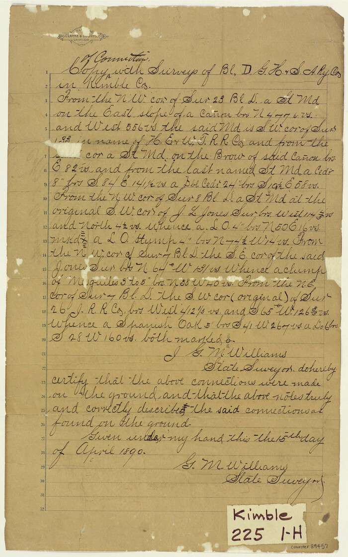
Copy of connection with surveys of Bl. D, GH&SA Ry. Co. in Kimble County
89457, Copy of connection with surveys of Bl. D, GH&SA Ry. Co. in Kimble County, Barnes Railroad Collection
Print $6.00 - Digital $50.00

Copy of connection with surveys of Bl. D, GH&SA Ry. Co. in Kimble County

1890

Size: 14.2 x 8.9 inches
89457
Crockett County Sketch File 35b
19736, Crockett County Sketch File 35b, General Map Collection
Print $20.00 - Digital $50.00

Crockett County Sketch File 35b

Size: 13.9 x 8.8 inches
19736
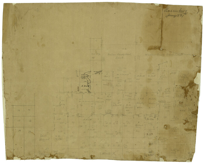
Edwards County Rolled Sketch 8
5801.tif
Print $20.00 - Digital $50.00

Edwards County Rolled Sketch 8

1891

Size: 16.0 x 18.7 inches
5801
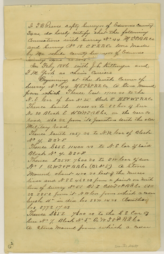
Edwards County Sketch File 11
21687, Edwards County Sketch File 11, General Map Collection
Print $26.00 - Digital $50.00

Edwards County Sketch File 11

1887

Size: 13.7 x 8.8 inches
21687
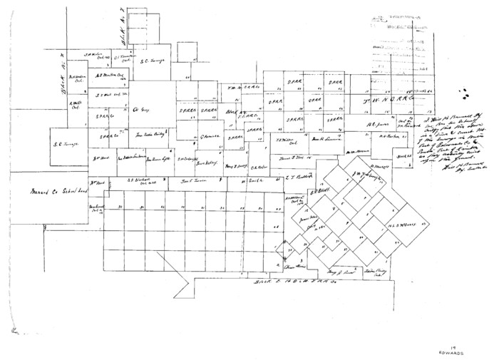
Edwards County Sketch File 19
11430, Edwards County Sketch File 19, General Map Collection
Print $20.00 - Digital $50.00

Edwards County Sketch File 19

Size: 17.1 x 23.7 inches
11430
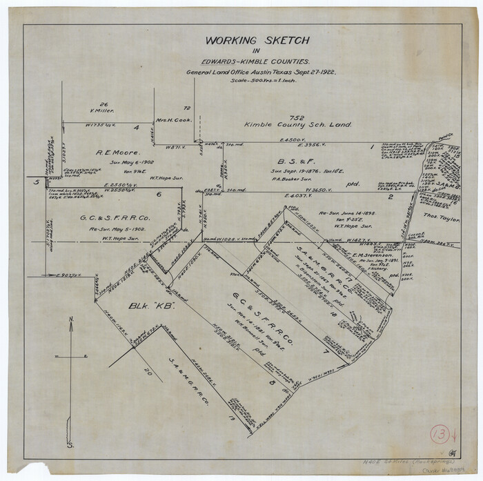
Edwards County Working Sketch 13
68889.tif
Print $20.00 - Digital $50.00

Edwards County Working Sketch 13

1922

Size: 18.3 x 18.4 inches
68889
Edwards County Working Sketch 4
68880.tif
Print $20.00 - Digital $50.00

Edwards County Working Sketch 4

Size: 28.7 x 28.3 inches
68880
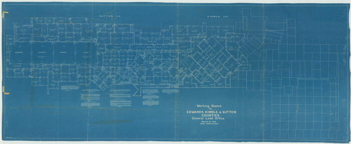
Edwards County Working Sketch 40
68916.tif
Print $20.00 - Digital $50.00

Edwards County Working Sketch 40

1949
Size: 19.8 x 18.6 inches
68916
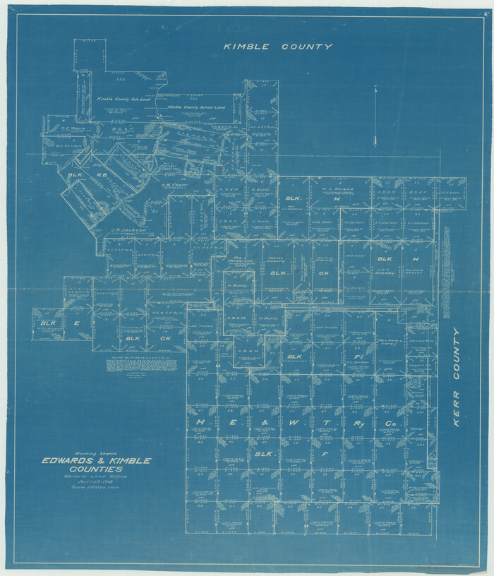
Edwards County Working Sketch 6
68882.tif
Print $40.00 - Digital $50.00

Edwards County Working Sketch 6

1918

Size: 32.8 x 79.6 inches
68882
Edwards County Working Sketch 7
68883.tif
Print $20.00 - Digital $50.00

Edwards County Working Sketch 7

1918

Size: 34.6 x 29.7 inches
68883
Edwards County Working Sketch 82
68958.tif
Print $6.00 - Digital $50.00

Edwards County Working Sketch 82

1964

Size: 31.0 x 35.1 inches
68958
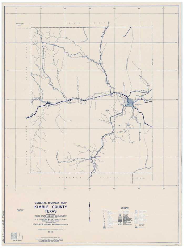
Edwards County Working Sketch 91
68967.tif
Print $40.00 - Digital $50.00

Edwards County Working Sketch 91

1966
Size: 34.8 x 51.1 inches
68967
General Highway Map, Kimble County, Texas
79159.tif
Print $20.00

General Highway Map, Kimble County, Texas

1940

Size: 24.9 x 18.3 inches
79159
General Highway Map, Kimble County, Texas
79160.tif
Print $20.00

General Highway Map, Kimble County, Texas

1940

Size: 24.8 x 18.3 inches
79160
General Highway Map, Kimble County, Texas
79553.tif
Print $20.00

General Highway Map, Kimble County, Texas

1961

Size: 24.6 x 18.2 inches
79553
General Highway Map, Kimble County, Texas
79554.tif
Print $20.00

General Highway Map, Kimble County, Texas

1961

Size: 24.6 x 18.2 inches
79554
Gillespie County Sketch File 2
24127, Gillespie County Sketch File 2, General Map Collection
Print $40.00 - Digital $50.00

Gillespie County Sketch File 2

1847

Size: 12.8 x 15.5 inches
24127
Gillespie County Working Sketch 4
63167.tif
Print $20.00 - Digital $50.00

Gillespie County Working Sketch 4

1969

Size: 32.5 x 35.3 inches
63167
Kerr County Sketch File 5
28865, Kerr County Sketch File 5, General Map Collection
Print $4.00 - Digital $50.00

Kerr County Sketch File 5

1878

Size: 14.2 x 8.4 inches
28865
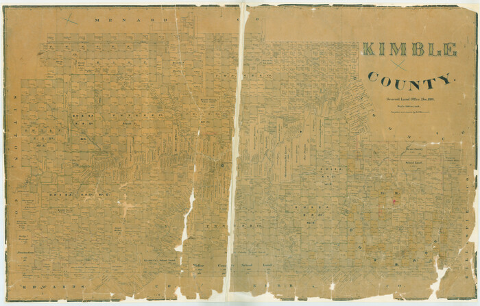
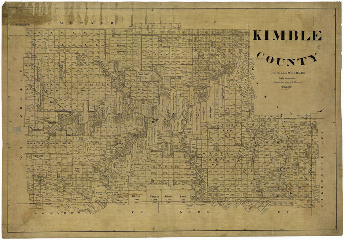
Kimble County
16866.tif
Print $40.00 - Digital $50.00

Kimble County

1890

Size: 37.4 x 58.6 inches
16866
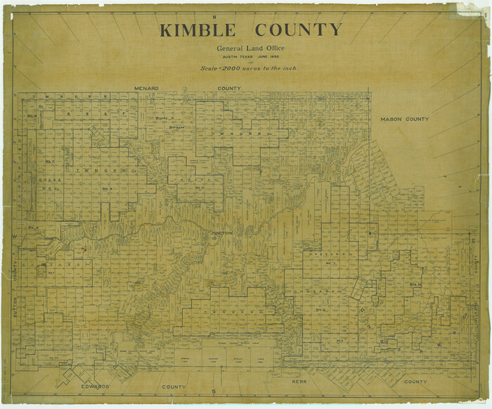
Kimble County
1875.tif
Print $40.00 - Digital $50.00

Kimble County

1930

Size: 42.2 x 50.9 inches
1875
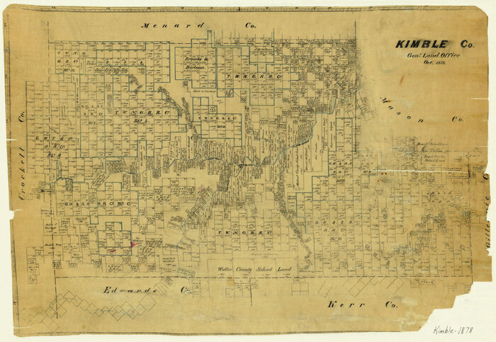
Kimble County
3767.tif
Print $20.00 - Digital $50.00

Kimble County

1878

Size: 19.8 x 28.7 inches
3767
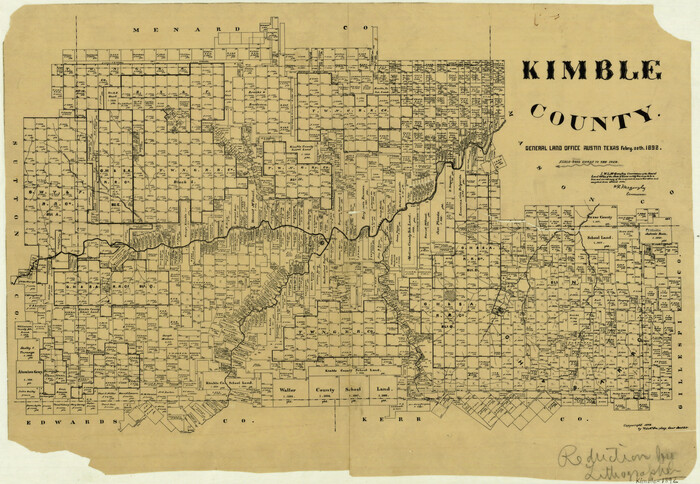
Kimble County
3770.tif
Print $20.00 - Digital $50.00

Kimble County

1892

Size: 16.7 x 24.1 inches
3770
Kimble County
5003.tif
Print $40.00 - Digital $50.00

Kimble County

1892

Size: 44.2 x 63.2 inches
5003
Kimble County
66891.tif
Print $40.00 - Digital $50.00

Kimble County

1890

Size: 40.0 x 56.9 inches
66891
Kimble County
73207.tif
Print $40.00 - Digital $50.00

Kimble County

1930

Size: 43.8 x 49.2 inches
73207
Kimble County
77340.tif
Print $40.00 - Digital $50.00

Kimble County

1930

Size: 41.0 x 49.0 inches
77340
Kimble County
78414.tif
Print $40.00 - Digital $50.00

Kimble County

1890

Size: 38.8 x 58.1 inches
78414
Kimble County
78435.tif
Print $40.00 - Digital $50.00

Kimble County

1890

Size: 39.2 x 57.5 inches
78435
Kimble County
95557.tif
Print $40.00 - Digital $50.00

Kimble County

1930

Size: 44.8 x 50.3 inches
95557
Copy of connection with surveys of Bl. D, GH&SA Ry. Co. in Kimble County
89457, Copy of connection with surveys of Bl. D, GH&SA Ry. Co. in Kimble County, Barnes Railroad Collection
Print $6.00 - Digital $50.00

Copy of connection with surveys of Bl. D, GH&SA Ry. Co. in Kimble County

1890

  • Size

    14.2 x 8.9 inches

  • Map/Doc

    89457

  • Creation Date

    1890

Crockett County Sketch File 35b
19736, Crockett County Sketch File 35b, General Map Collection
Print $20.00 - Digital $50.00

Crockett County Sketch File 35b

  • Size

    13.9 x 8.8 inches

  • Map/Doc

    19736

Edwards County Rolled Sketch 8
5801, Edwards County Rolled Sketch 8, General Map Collection
Print $20.00 - Digital $50.00

Edwards County Rolled Sketch 8

1891

  • Size

    16.0 x 18.7 inches

  • Map/Doc

    5801

  • Creation Date

    1891

Edwards County Sketch File 11
21687, Edwards County Sketch File 11, General Map Collection
Print $26.00 - Digital $50.00

Edwards County Sketch File 11

1887

  • Size

    13.7 x 8.8 inches

  • Map/Doc

    21687

  • Creation Date

    1887

Edwards County Sketch File 19
11430, Edwards County Sketch File 19, General Map Collection
Print $20.00 - Digital $50.00

Edwards County Sketch File 19

  • Size

    17.1 x 23.7 inches

  • Map/Doc

    11430

Edwards County Working Sketch 13
68889, Edwards County Working Sketch 13, General Map Collection
Print $20.00 - Digital $50.00

Edwards County Working Sketch 13

1922

  • Size

    18.3 x 18.4 inches

  • Map/Doc

    68889

  • Creation Date

    1922

Edwards County Working Sketch 4
68880, Edwards County Working Sketch 4, General Map Collection
Print $20.00 - Digital $50.00

Edwards County Working Sketch 4

  • Size

    28.7 x 28.3 inches

  • Map/Doc

    68880

Edwards County Working Sketch 40
68916, Edwards County Working Sketch 40, General Map Collection
Print $20.00 - Digital $50.00

Edwards County Working Sketch 40

1949

  • Size

    19.8 x 18.6 inches

  • Map/Doc

    68916

  • Creation Date

    1949

Edwards County Working Sketch 6
68882, Edwards County Working Sketch 6, General Map Collection
Print $40.00 - Digital $50.00

Edwards County Working Sketch 6

1918

  • Size

    32.8 x 79.6 inches

  • Map/Doc

    68882

  • Creation Date

    1918

Edwards County Working Sketch 7
68883, Edwards County Working Sketch 7, General Map Collection
Print $20.00 - Digital $50.00

Edwards County Working Sketch 7

1918

  • Size

    34.6 x 29.7 inches

  • Map/Doc

    68883

  • Creation Date

    1918

Edwards County Working Sketch 82
68958, Edwards County Working Sketch 82, General Map Collection
Print $6.00 - Digital $50.00

Edwards County Working Sketch 82

1964

  • Size

    31.0 x 35.1 inches

  • Map/Doc

    68958

  • Creation Date

    1964

Edwards County Working Sketch 91
68967, Edwards County Working Sketch 91, General Map Collection
Print $40.00 - Digital $50.00

Edwards County Working Sketch 91

1966

  • Size

    34.8 x 51.1 inches

  • Map/Doc

    68967

  • Creation Date

    1966

General Highway Map, Kimble County, Texas
79159, General Highway Map, Kimble County, Texas, Texas State Library and Archives
Print $20.00

General Highway Map, Kimble County, Texas

1940

  • Size

    24.9 x 18.3 inches

  • Map/Doc

    79159

  • Creation Date

    1940

General Highway Map, Kimble County, Texas
79160, General Highway Map, Kimble County, Texas, Texas State Library and Archives
Print $20.00

General Highway Map, Kimble County, Texas

1940

  • Size

    24.8 x 18.3 inches

  • Map/Doc

    79160

  • Creation Date

    1940

General Highway Map, Kimble County, Texas
79553, General Highway Map, Kimble County, Texas, Texas State Library and Archives
Print $20.00

General Highway Map, Kimble County, Texas

1961

  • Size

    24.6 x 18.2 inches

  • Map/Doc

    79553

  • Creation Date

    1961

General Highway Map, Kimble County, Texas
79554, General Highway Map, Kimble County, Texas, Texas State Library and Archives
Print $20.00

General Highway Map, Kimble County, Texas

1961

  • Size

    24.6 x 18.2 inches

  • Map/Doc

    79554

  • Creation Date

    1961

Gillespie County Sketch File 2
24127, Gillespie County Sketch File 2, General Map Collection
Print $40.00 - Digital $50.00

Gillespie County Sketch File 2

1847

  • Size

    12.8 x 15.5 inches

  • Map/Doc

    24127

  • Creation Date

    1847

Gillespie County Working Sketch 4
63167, Gillespie County Working Sketch 4, General Map Collection
Print $20.00 - Digital $50.00

Gillespie County Working Sketch 4

1969

  • Size

    32.5 x 35.3 inches

  • Map/Doc

    63167

  • Creation Date

    1969

Kerr County Sketch File 5
28865, Kerr County Sketch File 5, General Map Collection
Print $4.00 - Digital $50.00

Kerr County Sketch File 5

1878

  • Size

    14.2 x 8.4 inches

  • Map/Doc

    28865

  • Creation Date

    1878

Kimble County
16866, Kimble County, General Map Collection
Print $40.00 - Digital $50.00

Kimble County

1890

  • Size

    37.4 x 58.6 inches

  • Map/Doc

    16866

  • Creation Date

    1890

Kimble County
1875, Kimble County, General Map Collection
Print $40.00 - Digital $50.00

Kimble County

1930

  • Size

    42.2 x 50.9 inches

  • Map/Doc

    1875

  • Creation Date

    1930

Kimble County
3767, Kimble County, General Map Collection
Print $20.00 - Digital $50.00

Kimble County

1878

  • Size

    19.8 x 28.7 inches

  • Map/Doc

    3767

  • Creation Date

    1878

Kimble County
3770, Kimble County, General Map Collection
Print $20.00 - Digital $50.00

Kimble County

1892

  • Size

    16.7 x 24.1 inches

  • Map/Doc

    3770

  • Creation Date

    1892

Kimble County
5003, Kimble County, General Map Collection
Print $40.00 - Digital $50.00

Kimble County

1892

  • Size

    44.2 x 63.2 inches

  • Map/Doc

    5003

  • Creation Date

    1892

Kimble County
66891, Kimble County, General Map Collection
Print $40.00 - Digital $50.00

Kimble County

1890

  • Size

    40.0 x 56.9 inches

  • Map/Doc

    66891

  • Creation Date

    1890

Kimble County
73207, Kimble County, General Map Collection
Print $40.00 - Digital $50.00

Kimble County

1930

  • Size

    43.8 x 49.2 inches

  • Map/Doc

    73207

  • Creation Date

    1930

Kimble County
77340, Kimble County, General Map Collection
Print $40.00 - Digital $50.00

Kimble County

1930

  • Size

    41.0 x 49.0 inches

  • Map/Doc

    77340

  • Creation Date

    1930

Kimble County
78414, Kimble County, General Map Collection
Print $40.00 - Digital $50.00

Kimble County

1890

  • Size

    38.8 x 58.1 inches

  • Map/Doc

    78414

  • Creation Date

    1890

Kimble County
78435, Kimble County, General Map Collection
Print $40.00 - Digital $50.00

Kimble County

1890

  • Size

    39.2 x 57.5 inches

  • Map/Doc

    78435

  • Creation Date

    1890

Kimble County
95557, Kimble County, General Map Collection
Print $40.00 - Digital $50.00

Kimble County

1930

  • Size

    44.8 x 50.3 inches

  • Map/Doc

    95557

  • Creation Date

    1930