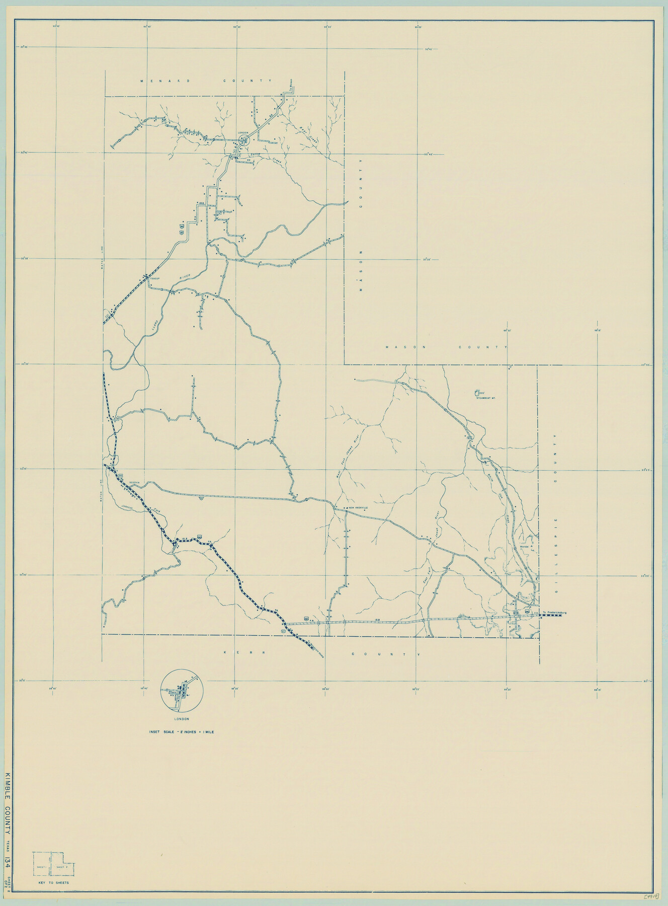
General Highway Map, Kimble County, Texas
-
Map/Doc
79160
-
Collection
Texas State Library and Archives
-
Object Dates
1940 (Creation Date)
-
People and Organizations
Texas State Highway Department (Publisher)
-
Counties
Kimble
-
Subjects
County
-
Height x Width
24.8 x 18.3 inches
63.0 x 46.5 cm
-
Comments
Prints available courtesy of the Texas State Library and Archives.
More info can be found here: TSLAC Map 04918
Part of: Texas State Library and Archives
General Highway Map, Cameron County, Texas

Print $20.00
General Highway Map, Cameron County, Texas
1961
Size 18.3 x 24.7 inches
Map/Doc 79397
Carte du Mexique ou de la Nouvelle Espagne

Print $20.00
Carte du Mexique ou de la Nouvelle Espagne
1750
Size 12.4 x 15.5 inches
Map/Doc 79741
General Highway Map, Harris County, Texas

Print $20.00
General Highway Map, Harris County, Texas
1939
Size 25.3 x 18.7 inches
Map/Doc 79116
Map of the United States to accompany Granger's Southern and Western Texas Guide

Print $20.00
Map of the United States to accompany Granger's Southern and Western Texas Guide
1878
Size 26.4 x 20.4 inches
Map/Doc 76236
Plan of Mier. The Texian Camp and Attack on the City

Print $20.00
Plan of Mier. The Texian Camp and Attack on the City
1842
Size 8.7 x 11.4 inches
Map/Doc 76305
General Highway Map, El Paso County, Texas

Print $20.00
General Highway Map, El Paso County, Texas
1961
Size 18.2 x 24.8 inches
Map/Doc 79458
General Highway Map, Archer County, Texas

Print $20.00
General Highway Map, Archer County, Texas
1940
Size 18.2 x 24.8 inches
Map/Doc 79005
General Highway Map, Lamar County, Texas

Print $20.00
General Highway Map, Lamar County, Texas
1940
Size 24.8 x 18.5 inches
Map/Doc 79167
General Highway Map. Detail of Cities and Towns in Jefferson County, Texas / 1961

Print $20.00
General Highway Map. Detail of Cities and Towns in Jefferson County, Texas / 1961
1961
Size 18.2 x 24.6 inches
Map/Doc 79538
General Highway Map, Bee County, Texas

Print $20.00
General Highway Map, Bee County, Texas
1961
Size 25.1 x 18.3 inches
Map/Doc 79364
General Highway Map, Parmer County, Texas

Print $20.00
General Highway Map, Parmer County, Texas
1961
Size 18.1 x 24.4 inches
Map/Doc 79626
The City of Austin and Suburbs

Print $20.00
The City of Austin and Suburbs
1919
Size 24.1 x 19.1 inches
Map/Doc 76203
You may also like
San Patricio County Rolled Sketch 37

Print $127.00
- Digital $50.00
San Patricio County Rolled Sketch 37
Size 10.3 x 15.2 inches
Map/Doc 48888
McCulloch County Boundary File 3

Print $16.00
- Digital $50.00
McCulloch County Boundary File 3
Size 11.1 x 8.6 inches
Map/Doc 56911
Flight Mission No. DQO-2K, Frame 136, Galveston County

Print $20.00
- Digital $50.00
Flight Mission No. DQO-2K, Frame 136, Galveston County
1952
Size 18.8 x 22.6 inches
Map/Doc 85033
Flight Mission No. DQN-2K, Frame 138, Calhoun County

Print $20.00
- Digital $50.00
Flight Mission No. DQN-2K, Frame 138, Calhoun County
1953
Size 16.1 x 16.0 inches
Map/Doc 84307
Burnet County Sketch File 14a

Print $6.00
- Digital $50.00
Burnet County Sketch File 14a
Size 17.0 x 11.0 inches
Map/Doc 16700
Map of Parts of Dawson and Borden Counties

Print $20.00
- Digital $50.00
Map of Parts of Dawson and Borden Counties
Size 23.0 x 17.7 inches
Map/Doc 90627
Terrell County Working Sketch 38

Print $40.00
- Digital $50.00
Terrell County Working Sketch 38
1950
Size 89.1 x 24.9 inches
Map/Doc 62131


1960 Texas Official Highway Travel Map

Digital $50.00
1960 Texas Official Highway Travel Map
Size 28.3 x 36.5 inches
Map/Doc 94330
Harris County Sketch File 74

Print $22.00
- Digital $50.00
Harris County Sketch File 74
1944
Size 17.1 x 12.2 inches
Map/Doc 25543
Aransas County Sketch File 1

Print $4.00
- Digital $50.00
Aransas County Sketch File 1
Size 7.5 x 5.3 inches
Map/Doc 13098