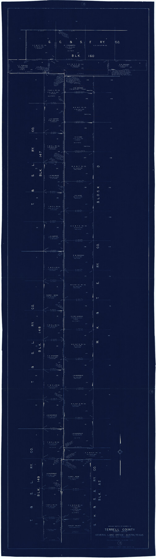
Terrell County Working Sketch 38
-
Map/Doc
62131
-
Collection
General Map Collection
-
Object Dates
3/18/1950 (Creation Date)
-
People and Organizations
Otto G. Kurio (Draftsman)
-
Counties
Terrell
-
Subjects
Surveying Working Sketch
-
Height x Width
89.1 x 24.9 inches
226.3 x 63.3 cm
-
Scale
1" = 400 varas
Part of: General Map Collection
Presidio County Rolled Sketch D1

Print $20.00
- Digital $50.00
Presidio County Rolled Sketch D1
Size 18.7 x 16.1 inches
Map/Doc 78524
[Surveys along Davidson's Creek]
![243, [Surveys along Davidson's Creek], General Map Collection](https://historictexasmaps.com/wmedia_w700/maps/243.tif.jpg)
Print $2.00
- Digital $50.00
[Surveys along Davidson's Creek]
Size 5.3 x 4.7 inches
Map/Doc 243
Brazoria County Working Sketch 44

Print $20.00
- Digital $50.00
Brazoria County Working Sketch 44
1988
Size 26.6 x 24.9 inches
Map/Doc 67529
El Paso County Boundary File 3

Print $6.00
- Digital $50.00
El Paso County Boundary File 3
Size 9.7 x 6.1 inches
Map/Doc 53035
Surveys in Austin's Colony along the east fork of Mill Creek

Print $20.00
- Digital $50.00
Surveys in Austin's Colony along the east fork of Mill Creek
1830
Size 23.7 x 12.6 inches
Map/Doc 208
Armstrong County

Print $20.00
- Digital $50.00
Armstrong County
1933
Size 44.0 x 41.3 inches
Map/Doc 1773
Baylor County Aerial Photograph Index Sheet 2

Print $20.00
- Digital $50.00
Baylor County Aerial Photograph Index Sheet 2
1950
Size 22.2 x 15.4 inches
Map/Doc 83664
Uvalde County Working Sketch 46

Print $20.00
- Digital $50.00
Uvalde County Working Sketch 46
1979
Size 37.1 x 26.3 inches
Map/Doc 72116
Flight Mission No. BQR-7K, Frame 31, Brazoria County

Print $20.00
- Digital $50.00
Flight Mission No. BQR-7K, Frame 31, Brazoria County
1952
Size 18.6 x 22.1 inches
Map/Doc 84029
Nueces County Sketch File 56

Print $113.00
- Digital $50.00
Nueces County Sketch File 56
1973
Size 10.1 x 9.3 inches
Map/Doc 32874
Frio County Rolled Sketch 28

Print $20.00
- Digital $50.00
Frio County Rolled Sketch 28
2014
Size 36.3 x 24.7 inches
Map/Doc 97420
Pecos County Sketch File 113

Print $10.00
- Digital $50.00
Pecos County Sketch File 113
Size 11.3 x 8.7 inches
Map/Doc 34069
You may also like
Newton County Working Sketch 16

Print $20.00
- Digital $50.00
Newton County Working Sketch 16
1950
Size 15.8 x 15.5 inches
Map/Doc 71262
Hartley County Sketch File 12

Print $20.00
- Digital $50.00
Hartley County Sketch File 12
1906
Size 16.3 x 12.4 inches
Map/Doc 11736
Flight Mission No. BQR-3K, Frame 85, Brazoria County

Print $20.00
- Digital $50.00
Flight Mission No. BQR-3K, Frame 85, Brazoria County
1952
Size 18.9 x 22.4 inches
Map/Doc 83977
Real County Rolled Sketch 18

Print $20.00
- Digital $50.00
Real County Rolled Sketch 18
Size 22.0 x 28.0 inches
Map/Doc 7466
[T. & G. Ry. Main Line, Texas, Right of Way Map, Center to Gary]
![64572, [T. & G. Ry. Main Line, Texas, Right of Way Map, Center to Gary], General Map Collection](https://historictexasmaps.com/wmedia_w700/maps/64572-1.tif.jpg)
Print $40.00
- Digital $50.00
[T. & G. Ry. Main Line, Texas, Right of Way Map, Center to Gary]
1917
Size 31.9 x 104.6 inches
Map/Doc 64572
Map of Texas compiled from surveys recorded in the Land Office of Texas, and other official surveys

Print $20.00
- Digital $50.00
Map of Texas compiled from surveys recorded in the Land Office of Texas, and other official surveys
1843
Size 27.1 x 22.5 inches
Map/Doc 93863
Newton County Sketch File 41

Print $44.00
- Digital $50.00
Newton County Sketch File 41
1930
Size 11.2 x 8.7 inches
Map/Doc 32421
Sketch of surveys on Deer Creek, Milam District

Print $2.00
- Digital $50.00
Sketch of surveys on Deer Creek, Milam District
1846
Size 7.8 x 10.9 inches
Map/Doc 76046
[G. H. & H. Block 2]
![91894, [G. H. & H. Block 2], Twichell Survey Records](https://historictexasmaps.com/wmedia_w700/maps/91894-1.tif.jpg)
Print $20.00
- Digital $50.00
[G. H. & H. Block 2]
Size 20.6 x 18.4 inches
Map/Doc 91894
Uvalde County Working Sketch 4

Print $20.00
- Digital $50.00
Uvalde County Working Sketch 4
1920
Size 23.1 x 17.1 inches
Map/Doc 72074
[Galveston, Harrisburg & San Antonio through El Paso County]
![64005, [Galveston, Harrisburg & San Antonio through El Paso County], General Map Collection](https://historictexasmaps.com/wmedia_w700/maps/64005.tif.jpg)
Print $20.00
- Digital $50.00
[Galveston, Harrisburg & San Antonio through El Paso County]
1906
Size 13.3 x 33.6 inches
Map/Doc 64005
Map of the chief part of the Southern States and part of the Western engraved to illustrate Mitchell's school and family geography

Print $20.00
- Digital $50.00
Map of the chief part of the Southern States and part of the Western engraved to illustrate Mitchell's school and family geography
1839
Size 11.8 x 17.5 inches
Map/Doc 93497