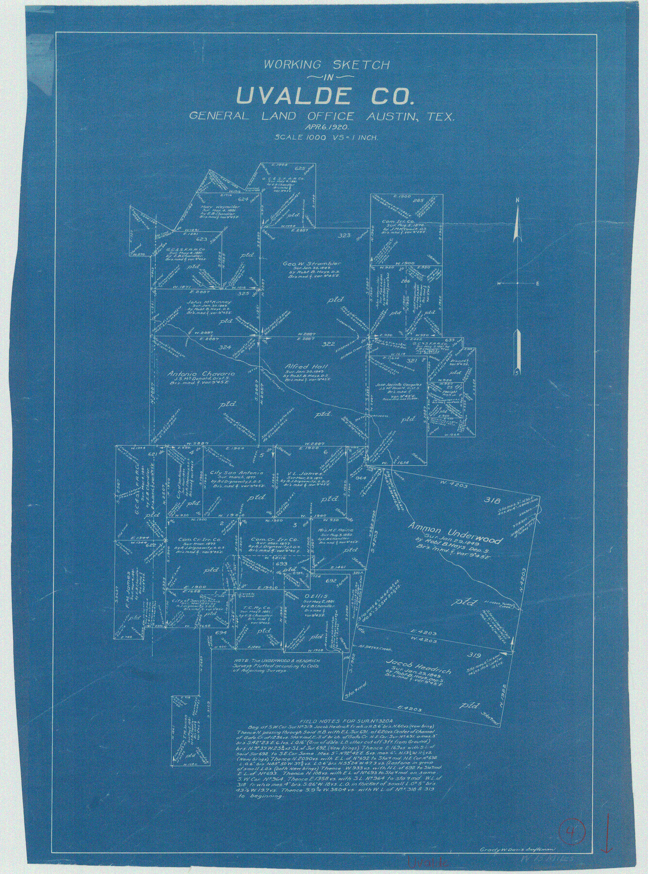
Uvalde County Working Sketch 4
-
Map/Doc
72074
-
Collection
General Map Collection
-
Object Dates
4/6/1920 (Creation Date)
-
People and Organizations
Grady W. Davis (Draftsman)
-
Counties
Uvalde
-
Subjects
Surveying Working Sketch
-
Height x Width
23.1 x 17.1 inches
58.7 x 43.4 cm
-
Scale
1" = 1000 varas
Part of: General Map Collection
Jefferson County Aerial Photograph Index Sheet 2

Print $20.00
- Digital $50.00
Jefferson County Aerial Photograph Index Sheet 2
1953
Size 23.4 x 17.0 inches
Map/Doc 83708
Flight Mission No. BRA-6M, Frame 144, Jefferson County

Print $20.00
- Digital $50.00
Flight Mission No. BRA-6M, Frame 144, Jefferson County
1953
Size 18.5 x 22.3 inches
Map/Doc 85445
Calhoun County Rolled Sketch 30

Print $20.00
- Digital $50.00
Calhoun County Rolled Sketch 30
1974
Size 18.5 x 27.6 inches
Map/Doc 5490
Flight Mission No. CUG-1P, Frame 77, Kleberg County

Print $20.00
- Digital $50.00
Flight Mission No. CUG-1P, Frame 77, Kleberg County
1956
Size 18.4 x 22.1 inches
Map/Doc 86142
Moore County Rolled Sketch 14

Print $20.00
- Digital $50.00
Moore County Rolled Sketch 14
1981
Size 22.6 x 26.6 inches
Map/Doc 6830
Henderson County Rolled Sketch 11

Print $20.00
- Digital $50.00
Henderson County Rolled Sketch 11
1915
Size 29.1 x 42.2 inches
Map/Doc 76150
General Chart of the Coast No. XXI Gulf Coast from Galveston to the Rio Grande

Print $20.00
- Digital $50.00
General Chart of the Coast No. XXI Gulf Coast from Galveston to the Rio Grande
1883
Size 27.2 x 18.3 inches
Map/Doc 72728
Hale County Boundary File 5

Print $4.00
- Digital $50.00
Hale County Boundary File 5
Size 14.1 x 8.7 inches
Map/Doc 54071
Upshur County Working Sketch 4

Print $20.00
- Digital $50.00
Upshur County Working Sketch 4
1939
Size 21.6 x 15.3 inches
Map/Doc 69560
Map of Parker County

Print $20.00
- Digital $50.00
Map of Parker County
1879
Size 23.9 x 19.0 inches
Map/Doc 3947
Flight Mission No. CRC-4R, Frame 185, Chambers County

Print $20.00
- Digital $50.00
Flight Mission No. CRC-4R, Frame 185, Chambers County
1956
Size 18.5 x 22.2 inches
Map/Doc 84936
Leon County Sketch File 5a

Print $4.00
- Digital $50.00
Leon County Sketch File 5a
1861
Size 13.1 x 8.5 inches
Map/Doc 29717
You may also like
Harris County Sketch File 23a

Print $13.00
- Digital $50.00
Harris County Sketch File 23a
1839
Size 9.7 x 6.0 inches
Map/Doc 25379
Crockett County Rolled Sketch 88O

Print $126.00
- Digital $50.00
Crockett County Rolled Sketch 88O
1973
Size 9.8 x 15.1 inches
Map/Doc 44158
General Highway Map. Detail of Cities and Towns in Tarrant County, Texas. City Map, Fort Worth and vicinity, Tarrant County, Texas

Print $20.00
General Highway Map. Detail of Cities and Towns in Tarrant County, Texas. City Map, Fort Worth and vicinity, Tarrant County, Texas
1961
Size 18.2 x 24.8 inches
Map/Doc 79669
[Sketch of Surveys south of League 153]
![90437, [Sketch of Surveys south of League 153], Twichell Survey Records](https://historictexasmaps.com/wmedia_w700/maps/90437-1.tif.jpg)
Print $2.00
- Digital $50.00
[Sketch of Surveys south of League 153]
Size 9.5 x 5.9 inches
Map/Doc 90437
Texas Official Travel Map

Digital $50.00
Texas Official Travel Map
Size 33.6 x 36.5 inches
Map/Doc 94301
Moore County Rolled Sketch 7

Print $20.00
- Digital $50.00
Moore County Rolled Sketch 7
1911
Size 36.0 x 29.3 inches
Map/Doc 6826
Henderson County Working Sketch 3

Print $20.00
- Digital $50.00
Henderson County Working Sketch 3
Size 28.5 x 38.3 inches
Map/Doc 66136
Harris County Working Sketch 100

Print $20.00
- Digital $50.00
Harris County Working Sketch 100
1979
Size 29.9 x 31.3 inches
Map/Doc 65992
McCulloch County Sketch File 5A

Print $20.00
- Digital $50.00
McCulloch County Sketch File 5A
Size 14.8 x 17.4 inches
Map/Doc 12056
Flight Mission No. BRE-2P, Frame 18, Nueces County

Print $20.00
- Digital $50.00
Flight Mission No. BRE-2P, Frame 18, Nueces County
1956
Size 18.5 x 22.7 inches
Map/Doc 86727
San Augustine County Sketch File 19

Print $23.00
San Augustine County Sketch File 19
Size 14.8 x 14.2 inches
Map/Doc 35678
Hidalgo County Working Sketch 6

Print $20.00
- Digital $50.00
Hidalgo County Working Sketch 6
1960
Size 21.4 x 20.4 inches
Map/Doc 66183