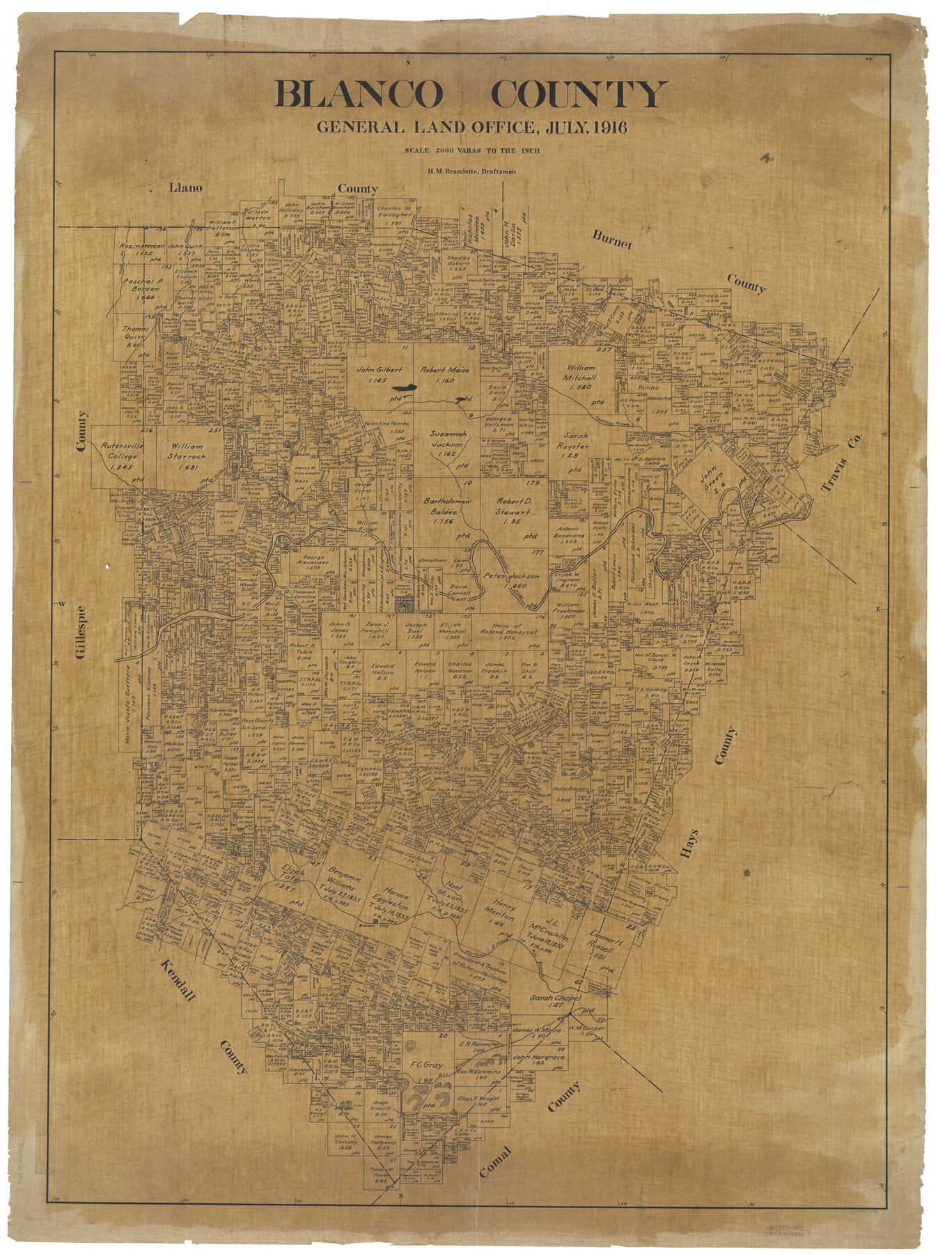
Blanco County
-
Map/Doc
4886
-
Collection
General Map Collection
-
Object Dates
1916 (Creation Date)
-
People and Organizations
Texas General Land Office (Publisher)
H.M. Bramlette (Draftsman)
H.M. Bramlette (Compiler)
-
Counties
Blanco
-
Subjects
County
-
Height x Width
48.0 x 35.9 inches
121.9 x 91.2 cm
Part of: General Map Collection
Morris County
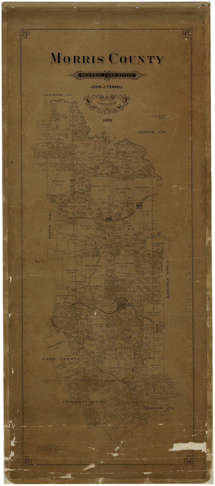
Print $40.00
- Digital $50.00
Morris County
1906
Size 54.6 x 24.2 inches
Map/Doc 77094
Amistad International Reservoir on Rio Grande 98

Print $20.00
- Digital $50.00
Amistad International Reservoir on Rio Grande 98
1950
Size 28.5 x 40.9 inches
Map/Doc 75529
Kaufman County Sketch File 10a

Print $20.00
- Digital $50.00
Kaufman County Sketch File 10a
1871
Size 18.3 x 14.6 inches
Map/Doc 11906
Hidalgo County Sketch File 19

Print $42.00
- Digital $50.00
Hidalgo County Sketch File 19
1983
Size 11.3 x 8.9 inches
Map/Doc 26448
Pecos County Working Sketch 78

Print $20.00
- Digital $50.00
Pecos County Working Sketch 78
1960
Size 29.4 x 34.4 inches
Map/Doc 71550
Ward County Sketch File 10

Print $6.00
- Digital $50.00
Ward County Sketch File 10
1936
Size 11.2 x 8.9 inches
Map/Doc 39635
Flight Mission No. DQO-12K, Frame 36, Galveston County

Print $20.00
- Digital $50.00
Flight Mission No. DQO-12K, Frame 36, Galveston County
1952
Size 18.8 x 22.6 inches
Map/Doc 85227
Pecos County Working Sketch 89.5

Print $40.00
- Digital $50.00
Pecos County Working Sketch 89.5
1965
Size 80.5 x 32.5 inches
Map/Doc 71561
Real County Working Sketch 2

Print $20.00
- Digital $50.00
Real County Working Sketch 2
1891
Size 19.7 x 20.6 inches
Map/Doc 71894
Tom Green County Sketch File 71

Print $20.00
- Digital $50.00
Tom Green County Sketch File 71
1948
Size 17.5 x 20.6 inches
Map/Doc 12447
Brewster County Working Sketch 23

Print $20.00
- Digital $50.00
Brewster County Working Sketch 23
1939
Size 26.7 x 43.6 inches
Map/Doc 67557
Harrison County Working Sketch 31

Print $40.00
- Digital $50.00
Harrison County Working Sketch 31
2006
Size 48.0 x 50.2 inches
Map/Doc 87148
You may also like
Flight Mission No. DAH-17M, Frame 68, Orange County

Print $20.00
- Digital $50.00
Flight Mission No. DAH-17M, Frame 68, Orange County
1953
Size 18.6 x 22.4 inches
Map/Doc 86902

Map of Fannin County

Print $20.00
- Digital $50.00
Map of Fannin County
1845
Size 34.7 x 36.5 inches
Map/Doc 16827
Liberty County Sketch File 35

Print $40.00
- Digital $50.00
Liberty County Sketch File 35
1890
Size 17.5 x 15.5 inches
Map/Doc 29971
Flight Mission No. DAG-24K, Frame 125, Matagorda County

Print $20.00
- Digital $50.00
Flight Mission No. DAG-24K, Frame 125, Matagorda County
1953
Size 18.5 x 22.3 inches
Map/Doc 86543
Atascosa County Rolled Sketch 22

Print $40.00
- Digital $50.00
Atascosa County Rolled Sketch 22
1917
Size 57.5 x 26.5 inches
Map/Doc 8921
Jack County Working Sketch 14

Print $20.00
- Digital $50.00
Jack County Working Sketch 14
1981
Size 28.2 x 30.2 inches
Map/Doc 66440
Nueces County NRC Article 33.136 Sketch 23

Print $42.00
Nueces County NRC Article 33.136 Sketch 23
2023
Map/Doc 97181
Brewster County Sketch File N-7

Print $40.00
- Digital $50.00
Brewster County Sketch File N-7
1914
Size 16.7 x 13.9 inches
Map/Doc 15608
Brewster County Sketch File N-28

Print $40.00
- Digital $50.00
Brewster County Sketch File N-28
Size 23.4 x 24.3 inches
Map/Doc 10973
Crockett County Working Sketch 14

Print $3.00
- Digital $50.00
Crockett County Working Sketch 14
1916
Size 12.1 x 9.1 inches
Map/Doc 68347
Flight Mission No. BQR-22K, Frame 36, Brazoria County

Print $20.00
- Digital $50.00
Flight Mission No. BQR-22K, Frame 36, Brazoria County
1953
Size 18.6 x 22.4 inches
Map/Doc 84120