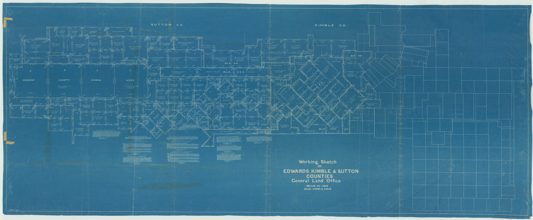
Edwards County Working Sketch 6
-
Map/Doc
68882
-
Collection
General Map Collection
-
Object Dates
3/16/1918 (Creation Date)
-
People and Organizations
G.C. Morriss (Draftsman)
-
Counties
Edwards Kimble Sutton
-
Subjects
Surveying Working Sketch
-
Height x Width
32.8 x 79.6 inches
83.3 x 202.2 cm
-
Scale
1" = 1000 varas
Part of: General Map Collection
Township 2 South Range 11 West, South Western District, Louisiana

Print $20.00
- Digital $50.00
Township 2 South Range 11 West, South Western District, Louisiana
1882
Size 19.6 x 24.6 inches
Map/Doc 65881
General-karte der Vereinigten Staaten von Nord-Amerika nebst den grosst. Theilen von Canada & Tejas

Print $20.00
- Digital $50.00
General-karte der Vereinigten Staaten von Nord-Amerika nebst den grosst. Theilen von Canada & Tejas
1850
Size 30.3 x 38.9 inches
Map/Doc 96790
Map of Gregg County

Print $20.00
- Digital $50.00
Map of Gregg County
1874
Size 14.0 x 13.9 inches
Map/Doc 3604
Pecos County Rolled Sketch 104

Print $40.00
- Digital $50.00
Pecos County Rolled Sketch 104
Size 42.5 x 54.8 inches
Map/Doc 78197
San Patricio County Sketch File 17

Print $20.00
San Patricio County Sketch File 17
1873
Size 12.0 x 19.0 inches
Map/Doc 12284
Harris County Rolled Sketch 86

Print $20.00
- Digital $50.00
Harris County Rolled Sketch 86
1947
Size 38.3 x 34.1 inches
Map/Doc 73577
La Salle County

Print $20.00
- Digital $50.00
La Salle County
1879
Size 27.4 x 23.6 inches
Map/Doc 3800
Atascosa County Rolled Sketch 27

Print $20.00
- Digital $50.00
Atascosa County Rolled Sketch 27
2012
Size 25.9 x 34.1 inches
Map/Doc 95410
[Maps of surveys in Reeves & Culberson Cos]
![61135, [Maps of surveys in Reeves & Culberson Cos], General Map Collection](https://historictexasmaps.com/wmedia_w700/maps/61135.tif.jpg)
Print $20.00
- Digital $50.00
[Maps of surveys in Reeves & Culberson Cos]
1937
Size 30.6 x 24.9 inches
Map/Doc 61135
Potter County Working Sketch 10

Print $20.00
- Digital $50.00
Potter County Working Sketch 10
1964
Size 32.6 x 25.0 inches
Map/Doc 71670
Crane County Working Sketch 33

Print $20.00
- Digital $50.00
Crane County Working Sketch 33
1985
Size 30.3 x 27.6 inches
Map/Doc 68310
Real County Sketch File 9

Print $8.00
- Digital $50.00
Real County Sketch File 9
1931
Size 11.2 x 8.8 inches
Map/Doc 35059
You may also like
Territory of New Mexico

Print $20.00
- Digital $50.00
Territory of New Mexico
1896
Size 43.4 x 36.5 inches
Map/Doc 76177
Maps of Gulf Intracoastal Waterway, Texas - Sabine River to the Rio Grande and connecting waterways including ship channels

Print $20.00
- Digital $50.00
Maps of Gulf Intracoastal Waterway, Texas - Sabine River to the Rio Grande and connecting waterways including ship channels
1966
Size 14.6 x 22.3 inches
Map/Doc 61916
Galveston County Sketch File 53

Print $119.00
- Digital $50.00
Galveston County Sketch File 53
1964
Size 14.3 x 8.8 inches
Map/Doc 23527

Young County Working Sketch 15

Print $20.00
- Digital $50.00
Young County Working Sketch 15
1952
Size 13.7 x 18.0 inches
Map/Doc 62038
Brazoria County Rolled Sketch 51

Print $20.00
- Digital $50.00
Brazoria County Rolled Sketch 51
2007
Size 34.8 x 46.8 inches
Map/Doc 87377
Coast Chart No. 210 Aransas Pass and Corpus Christi Bay with the coast to latitude 27° 12' Texas

Print $20.00
- Digital $50.00
Coast Chart No. 210 Aransas Pass and Corpus Christi Bay with the coast to latitude 27° 12' Texas
1887
Size 26.9 x 18.3 inches
Map/Doc 72811
El Paso County Sketch File 35 (1)

Print $8.00
- Digital $50.00
El Paso County Sketch File 35 (1)
Size 13.0 x 8.3 inches
Map/Doc 22166
Clay County Sketch File 48

Print $26.00
- Digital $50.00
Clay County Sketch File 48
1919
Size 14.2 x 8.6 inches
Map/Doc 18487
Dallas County Sketch File 18

Print $6.00
- Digital $50.00
Dallas County Sketch File 18
1871
Size 15.8 x 11.0 inches
Map/Doc 20437
Webb County Sketch File 49

Print $20.00
- Digital $50.00
Webb County Sketch File 49
1939
Size 20.7 x 21.5 inches
Map/Doc 12647
Newton County Aerial Photograph Index Sheet 4

Print $20.00
- Digital $50.00
Newton County Aerial Photograph Index Sheet 4
1953
Size 23.8 x 16.5 inches
Map/Doc 83733