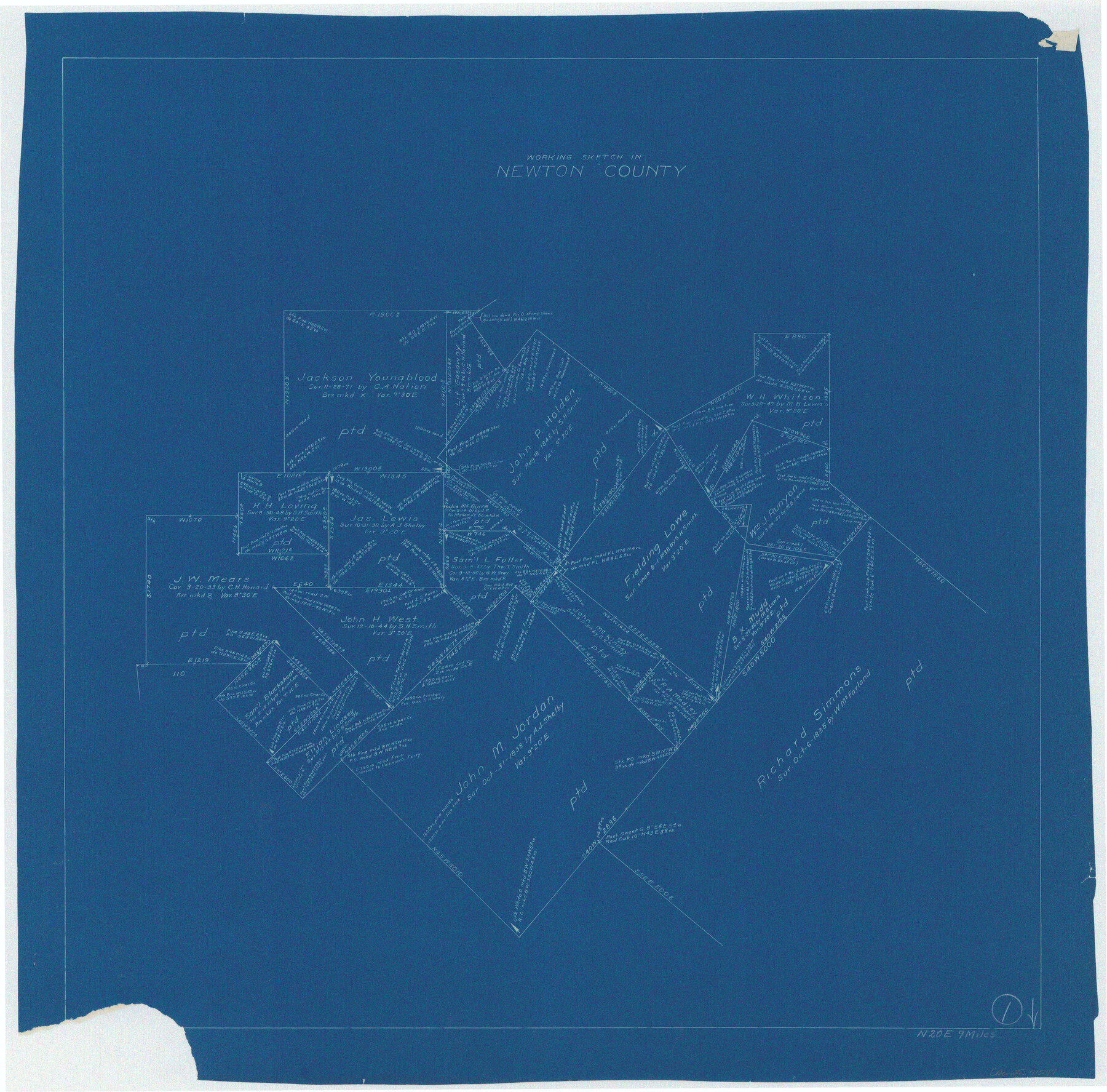
Newton County Working Sketch 1
- 
                          Map/Doc
71247
 - 
                            Collection
General Map Collection
 - 
                            Counties
Newton
 - 
                            Subjects
Surveying Working Sketch
 - 
                            Height x Width
25.5 x 25.9 inches
64.8 x 65.8 cm
 
Part of: General Map Collection
            Flight Mission No. CGI-4N, Frame 180, Cameron County


                                            Print $20.00                    
                                             -                         Digital $50.00                                    
                Flight Mission No. CGI-4N, Frame 180, Cameron County
1955
Size 18.5 x 22.3 inches
                                Map/Doc 84683
            
            Flight Mission No. DCL-6C, Frame 29, Kenedy County


                                            Print $20.00                    
                                             -                         Digital $50.00                                    
                Flight Mission No. DCL-6C, Frame 29, Kenedy County
1943
Size 18.6 x 22.4 inches
                                Map/Doc 85886
            
            Map of Hill County


                                            Print $20.00                    
                                             -                         Digital $50.00                                    
                Map of Hill County
1862
Size 22.1 x 24.7 inches
                                Map/Doc 3671
            
            Johnson County Working Sketch 25


                                            Print $20.00                    
                                             -                         Digital $50.00                                    
                Johnson County Working Sketch 25
1998
Size 13.3 x 25.4 inches
                                Map/Doc 66638
            
            Louisiana and Texas Intracoastal Waterway


                                            Print $20.00                    
                                             -                         Digital $50.00                                    
                Louisiana and Texas Intracoastal Waterway
1937
Size 13.7 x 19.6 inches
                                Map/Doc 83348
            
            Gaines County


                                            Print $40.00                    
                                             -                         Digital $50.00                                    
                Gaines County
1901
Size 41.3 x 57.2 inches
                                Map/Doc 16833
            
            Ward County Rolled Sketch 12A


                                            Print $20.00                    
                                             -                         Digital $50.00                                    
                Ward County Rolled Sketch 12A
Size 34.7 x 46.5 inches
                                Map/Doc 10108
            
            Angelina River, Mud Creek, Sheet 4


                                            Print $4.00                    
                                             -                         Digital $50.00                                    
                Angelina River, Mud Creek, Sheet 4
1937
Size 25.4 x 18.5 inches
                                Map/Doc 65078
            
            Flight Mission No. DQN-1K, Frame 107, Calhoun County


                                            Print $20.00                    
                                             -                         Digital $50.00                                    
                Flight Mission No. DQN-1K, Frame 107, Calhoun County
1953
Size 18.4 x 22.3 inches
                                Map/Doc 84174
            
            Jackson County Aerial Photograph Index Sheet 6


                                            Print $20.00                    
                                             -                         Digital $50.00                                    
                Jackson County Aerial Photograph Index Sheet 6
1956
Size 21.2 x 15.7 inches
                                Map/Doc 83705
            
            Navigation Maps of Gulf Intracoastal Waterway, Port Arthur to Brownsville, Texas


                                            Print $4.00                    
                                             -                         Digital $50.00                                    
                Navigation Maps of Gulf Intracoastal Waterway, Port Arthur to Brownsville, Texas
1951
Size 16.7 x 21.6 inches
                                Map/Doc 65447
            
            DeWitt County Sketch File 2


                                            Print $40.00                    
                                             -                         Digital $50.00                                    
                DeWitt County Sketch File 2
1868
Size 13.0 x 12.2 inches
                                Map/Doc 20799
            You may also like
            [Sketch showing unsurveyed land in West Texas as of 1902]


                                            Print $20.00                    
                                             -                         Digital $50.00                                    
                [Sketch showing unsurveyed land in West Texas as of 1902]
Size 42.0 x 34.0 inches
                                Map/Doc 89937
            
            Webb County Sketch File 45-1


                                            Print $20.00                    
                                             -                         Digital $50.00                                    
                Webb County Sketch File 45-1
1938
Size 22.9 x 20.3 inches
                                Map/Doc 12643
            
            Flight Mission No. DAG-14K, Frame 134, Matagorda County


                                            Print $20.00                    
                                             -                         Digital $50.00                                    
                Flight Mission No. DAG-14K, Frame 134, Matagorda County
1952
Size 17.6 x 17.4 inches
                                Map/Doc 86305
            
            Hartley County Boundary File 3a


                                            Print $42.00                    
                                             -                         Digital $50.00                                    
                Hartley County Boundary File 3a
Size 8.6 x 22.0 inches
                                Map/Doc 54483
            
            Coryell County Boundary File 1 and 1a


                                            Print $8.00                    
                                             -                         Digital $50.00                                    
                Coryell County Boundary File 1 and 1a
Size 8.2 x 3.3 inches
                                Map/Doc 51890
            
            [Surveys along the Nacogdoches River, Richland Creek, and the Trinity River]


                                            Print $20.00                    
                                             -                         Digital $50.00                                    
                [Surveys along the Nacogdoches River, Richland Creek, and the Trinity River]
1840
Size 24.2 x 17.9 inches
                                Map/Doc 85
            
            Atascosa County Working Sketch 34


                                            Print $20.00                    
                                             -                         Digital $50.00                                    
                Atascosa County Working Sketch 34
1958
Size 13.3 x 25.5 inches
                                Map/Doc 67230
            
            Nueces County Sketch File 42


                                            Print $24.00                    
                                             -                         Digital $50.00                                    
                Nueces County Sketch File 42
1950
Size 11.0 x 8.6 inches
                                Map/Doc 32633
            
            The Land Offices. No. 4, Nacogdoches, December 22, 1836


                                            Print $20.00                    
                                    
                The Land Offices. No. 4, Nacogdoches, December 22, 1836
2020
Size 14.8 x 21.7 inches
                                Map/Doc 96417
            
            Jefferson County Rolled Sketch 30


                                            Print $20.00                    
                                             -                         Digital $50.00                                    
                Jefferson County Rolled Sketch 30
1954
Size 34.1 x 39.9 inches
                                Map/Doc 6392
            
            Survey in South Austin for Mr. R.N. Graham


                                            Print $20.00                    
                                             -                         Digital $50.00                                    
                Survey in South Austin for Mr. R.N. Graham
1915
Size 22.6 x 33.8 inches
                                Map/Doc 564
            
            Harris County Working Sketch 113


                                            Print $20.00                    
                                             -                         Digital $50.00                                    
                Harris County Working Sketch 113
1982
Size 28.6 x 40.7 inches
                                Map/Doc 66005