[Atchison, Topeka & Santa Fe from Paisano to south of Plata]
Z-2-200
-
Map/Doc
64709
-
Collection
General Map Collection
-
Counties
Presidio
-
Subjects
Railroads
-
Height x Width
32.3 x 120.8 inches
82.0 x 306.8 cm
-
Medium
blueprint/diazo
-
Comments
See 64709 through 64713 for all segments of the map.
-
Features
AT&SF
Plata
Alamito Creek
Part of: General Map Collection
Webb County Working Sketch 35


Print $40.00
- Digital $50.00
Webb County Working Sketch 35
1939
Size 54.5 x 36.2 inches
Map/Doc 72400
Louisiana and Texas Intracoastal Waterway


Print $20.00
- Digital $50.00
Louisiana and Texas Intracoastal Waterway
1929
Size 13.8 x 19.9 inches
Map/Doc 83341
Duval County Sketch File 40b


Print $20.00
- Digital $50.00
Duval County Sketch File 40b
Size 28.0 x 31.4 inches
Map/Doc 11396
[Surveys along the Nueces River in San Patricio County]
![69737, [Surveys along the Nueces River in San Patricio County], General Map Collection](https://historictexasmaps.com/wmedia_w700/maps/69737.tif.jpg)
![69737, [Surveys along the Nueces River in San Patricio County], General Map Collection](https://historictexasmaps.com/wmedia_w700/maps/69737.tif.jpg)
Print $2.00
- Digital $50.00
[Surveys along the Nueces River in San Patricio County]
1842
Size 8.8 x 9.9 inches
Map/Doc 69737
Llano County Sketch File 6


Print $8.00
- Digital $50.00
Llano County Sketch File 6
1877
Size 9.4 x 7.9 inches
Map/Doc 30358
Flight Mission No. DCL-4C, Frame 69, Kenedy County


Print $20.00
- Digital $50.00
Flight Mission No. DCL-4C, Frame 69, Kenedy County
1943
Size 18.7 x 22.3 inches
Map/Doc 85814
Flight Mission No. DCL-7C, Frame 38, Kenedy County
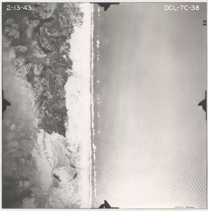

Print $20.00
- Digital $50.00
Flight Mission No. DCL-7C, Frame 38, Kenedy County
1943
Size 15.4 x 15.1 inches
Map/Doc 86026
Concho County Sketch File 8
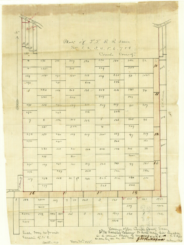

Print $44.00
- Digital $50.00
Concho County Sketch File 8
1886
Size 16.2 x 12.2 inches
Map/Doc 19131
Kleberg County Rolled Sketch 6


Print $20.00
- Digital $50.00
Kleberg County Rolled Sketch 6
Size 11.1 x 13.0 inches
Map/Doc 9359
Dimmit County Sketch File 48


Print $20.00
- Digital $50.00
Dimmit County Sketch File 48
1909
Size 17.9 x 19.3 inches
Map/Doc 11357
Blanco County Sketch File 23
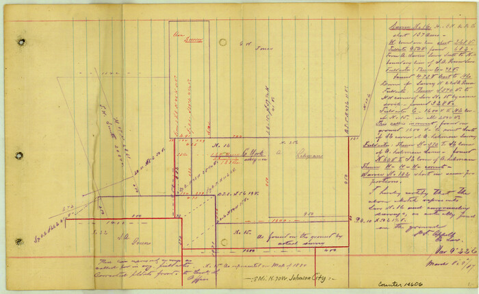

Print $16.00
- Digital $50.00
Blanco County Sketch File 23
1887
Size 8.7 x 14.1 inches
Map/Doc 14606
Railroad Track Map, H&TCRRCo., Falls County, Texas
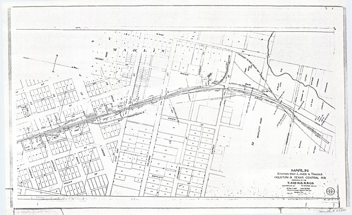

Print $4.00
- Digital $50.00
Railroad Track Map, H&TCRRCo., Falls County, Texas
1918
Size 11.4 x 18.7 inches
Map/Doc 62851
You may also like
Val Verde County Working Sketch 12
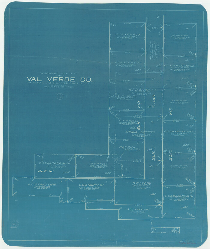

Print $20.00
- Digital $50.00
Val Verde County Working Sketch 12
1920
Size 29.0 x 24.3 inches
Map/Doc 72147
La Salle County Sketch File 12


Print $15.00
- Digital $50.00
La Salle County Sketch File 12
1877
Size 10.0 x 8.1 inches
Map/Doc 29470
Runnels County Sketch File 38
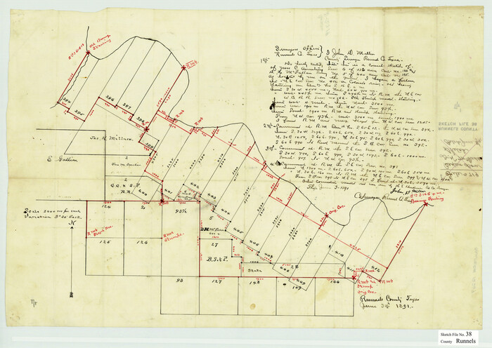

Print $20.00
Runnels County Sketch File 38
1891
Size 17.6 x 24.9 inches
Map/Doc 12269
Travis County Working Sketch 7
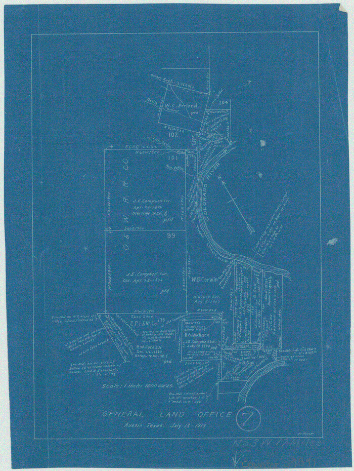

Print $2.00
- Digital $50.00
Travis County Working Sketch 7
1913
Size 10.9 x 8.2 inches
Map/Doc 69391
Edwards County Working Sketch 80
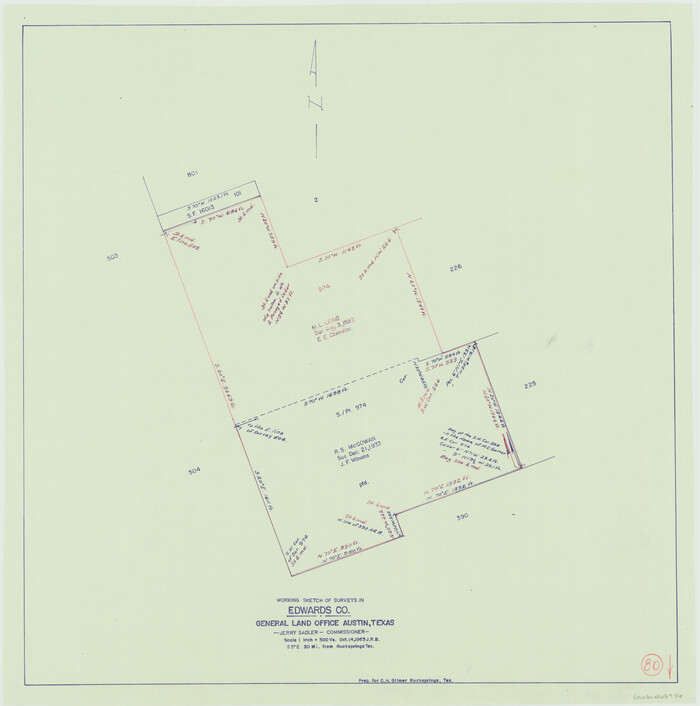

Print $20.00
- Digital $50.00
Edwards County Working Sketch 80
1963
Size 23.4 x 23.2 inches
Map/Doc 68956
Presidio County Sketch File 36
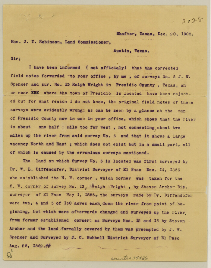

Print $10.00
- Digital $50.00
Presidio County Sketch File 36
1908
Size 10.4 x 8.2 inches
Map/Doc 34486
Map of the City of Galveston, situated on the East End of Galveston Island, Texas


Print $20.00
Map of the City of Galveston, situated on the East End of Galveston Island, Texas
1869
Size 33.3 x 46.6 inches
Map/Doc 76186
Edwards County Sketch File ABC


Print $12.00
- Digital $50.00
Edwards County Sketch File ABC
1913
Size 14.5 x 9.1 inches
Map/Doc 21662
Coryell County Rolled Sketch 2
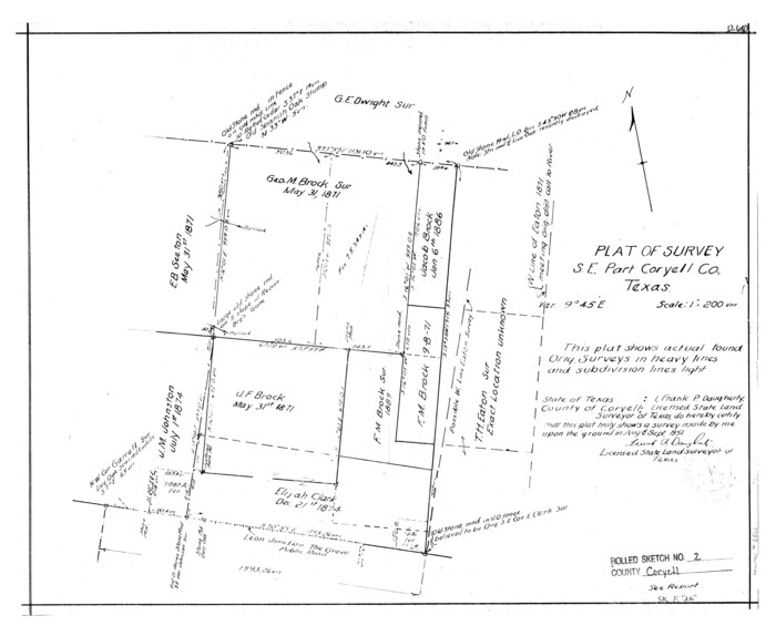

Print $20.00
- Digital $50.00
Coryell County Rolled Sketch 2
1951
Size 15.7 x 19.1 inches
Map/Doc 5566
Andrews County Working Sketch 18
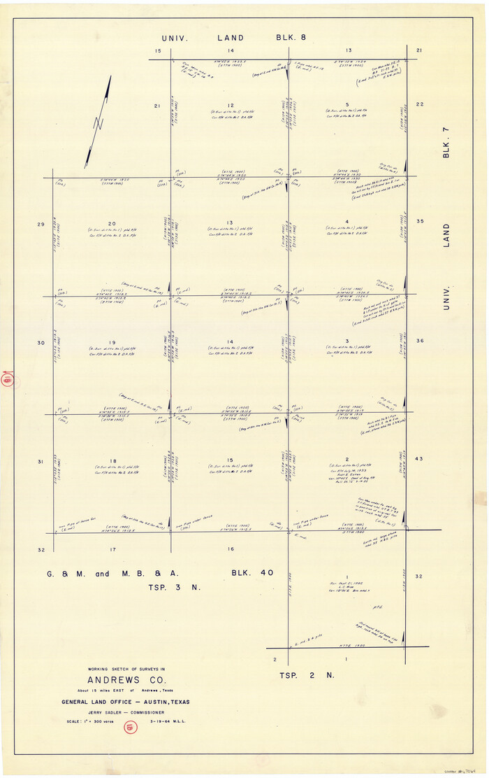

Print $20.00
- Digital $50.00
Andrews County Working Sketch 18
1964
Size 42.2 x 26.5 inches
Map/Doc 67064
Map of the United States Exhibiting the grants of lands made by the general government to aid in the construction of railroads and wagon roads
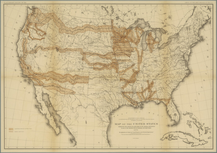

Print $20.00
Map of the United States Exhibiting the grants of lands made by the general government to aid in the construction of railroads and wagon roads
1878
Size 20.8 x 29.4 inches
Map/Doc 95286
![64709, [Atchison, Topeka & Santa Fe from Paisano to south of Plata], General Map Collection](https://historictexasmaps.com/wmedia_w1800h1800/maps/64709.tif.jpg)
