[Surveys along the Nueces River in San Patricio County]
Atlas G, Page 8, Sketch 5 (G-8-5)
G-8-5
-
Map/Doc
69737
-
Collection
General Map Collection
-
Object Dates
1842/4/25 (Creation Date)
-
People and Organizations
J.J.H. Grammond (Surveyor/Engineer)
-
Counties
San Patricio
-
Subjects
Atlas
-
Height x Width
8.8 x 9.9 inches
22.4 x 25.1 cm
-
Medium
paper, manuscript
-
Comments
Conserved in 2003.
-
Features
Nueces River
Lapara Creek
Part of: General Map Collection
Rio Grande Rectification Project, El Paso and Juarez Valley


Print $20.00
- Digital $50.00
Rio Grande Rectification Project, El Paso and Juarez Valley
1935
Size 10.7 x 29.6 inches
Map/Doc 60866
Knox County Rolled Sketch 21


Print $20.00
- Digital $50.00
Knox County Rolled Sketch 21
1955
Size 18.0 x 36.4 inches
Map/Doc 6561
Fort Bend County Rolled Sketch 17


Print $20.00
- Digital $50.00
Fort Bend County Rolled Sketch 17
1997
Size 28.0 x 38.5 inches
Map/Doc 5901
Sutton County Working Sketch 34

Print $20.00
- Digital $50.00
Sutton County Working Sketch 34
1939
Size 24.3 x 30.6 inches
Map/Doc 62377
Flight Mission No. CLL-1N, Frame 189, Willacy County

Print $20.00
- Digital $50.00
Flight Mission No. CLL-1N, Frame 189, Willacy County
1954
Size 18.2 x 22.0 inches
Map/Doc 87059
Rusk County Rolled Sketch 11

Print $20.00
- Digital $50.00
Rusk County Rolled Sketch 11
1956
Size 33.2 x 43.3 inches
Map/Doc 9877
Swisher County Sketch File 6


Print $20.00
- Digital $50.00
Swisher County Sketch File 6
Size 15.4 x 12.1 inches
Map/Doc 12404
Blanco County Sketch File 23
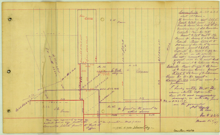

Print $16.00
- Digital $50.00
Blanco County Sketch File 23
1887
Size 8.7 x 14.1 inches
Map/Doc 14606
Ector County Working Sketch 32


Print $20.00
- Digital $50.00
Ector County Working Sketch 32
1981
Size 26.2 x 17.0 inches
Map/Doc 68875
Corrected Map of Burnet County or Northern District of Houston County


Print $20.00
- Digital $50.00
Corrected Map of Burnet County or Northern District of Houston County
1845
Size 32.0 x 19.9 inches
Map/Doc 5052
Surveys in the Milam District at the fork of the Yegua and Brazos Rivers and on the Leon River


Print $2.00
- Digital $50.00
Surveys in the Milam District at the fork of the Yegua and Brazos Rivers and on the Leon River
1846
Size 9.2 x 16.0 inches
Map/Doc 254
Wilbarger County Working Sketch 14
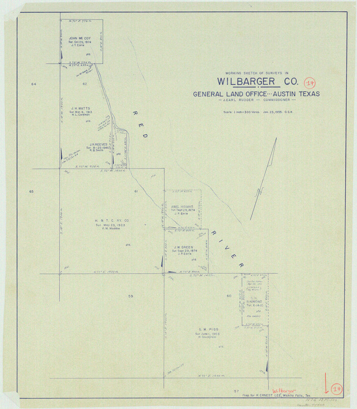

Print $20.00
- Digital $50.00
Wilbarger County Working Sketch 14
1955
Size 24.8 x 21.7 inches
Map/Doc 72552
You may also like
Travis County Working Sketch 43
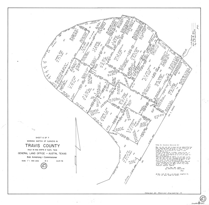

Print $20.00
- Digital $50.00
Travis County Working Sketch 43
1974
Size 24.1 x 24.6 inches
Map/Doc 69427
Flight Mission No. CRE-1R, Frame 193, Jackson County
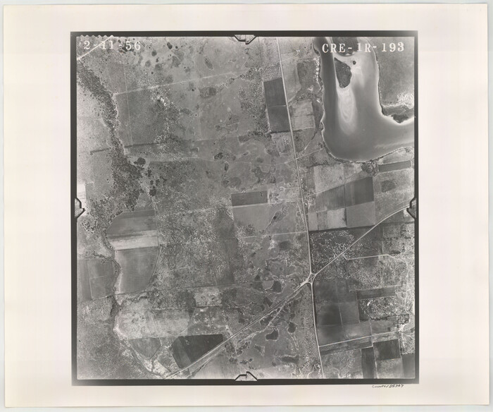

Print $20.00
- Digital $50.00
Flight Mission No. CRE-1R, Frame 193, Jackson County
1956
Size 18.5 x 22.2 inches
Map/Doc 85347
Uvalde County Working Sketch 45


Print $20.00
- Digital $50.00
Uvalde County Working Sketch 45
1978
Size 18.5 x 28.2 inches
Map/Doc 72115
Gaines County Working Sketch 33
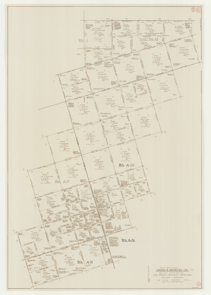

Print $40.00
- Digital $50.00
Gaines County Working Sketch 33
1990
Size 50.3 x 36.0 inches
Map/Doc 69333
Aransas County Rolled Sketch 10


Print $58.00
- Digital $50.00
Aransas County Rolled Sketch 10
1936
Size 10.6 x 15.4 inches
Map/Doc 42208
Brazoria County Working Sketch 10
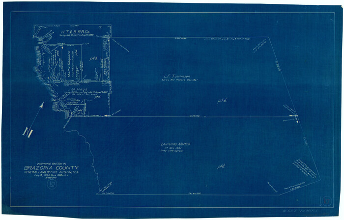

Print $20.00
- Digital $50.00
Brazoria County Working Sketch 10
1935
Size 16.2 x 25.2 inches
Map/Doc 67495
[T. & N. O. RR. Block 1T]
![91902, [T. & N. O. RR. Block 1T], Twichell Survey Records](https://historictexasmaps.com/wmedia_w700/maps/91902-1.tif.jpg)
![91902, [T. & N. O. RR. Block 1T], Twichell Survey Records](https://historictexasmaps.com/wmedia_w700/maps/91902-1.tif.jpg)
Print $20.00
- Digital $50.00
[T. & N. O. RR. Block 1T]
Size 14.9 x 20.0 inches
Map/Doc 91902
[Sketch for Mineral Application 19560 - 19588 - San Bernard River]
![65662, [Sketch for Mineral Application 19560 - 19588 - San Bernard River], General Map Collection](https://historictexasmaps.com/wmedia_w700/maps/65662.tif.jpg)
![65662, [Sketch for Mineral Application 19560 - 19588 - San Bernard River], General Map Collection](https://historictexasmaps.com/wmedia_w700/maps/65662.tif.jpg)
Print $40.00
- Digital $50.00
[Sketch for Mineral Application 19560 - 19588 - San Bernard River]
Size 31.6 x 73.6 inches
Map/Doc 65662
Jackson County Working Sketch 14


Print $20.00
- Digital $50.00
Jackson County Working Sketch 14
1990
Size 31.7 x 32.2 inches
Map/Doc 66462
[Resurvey of the north half of Block M6]
![90400, [Resurvey of the north half of Block M6], Twichell Survey Records](https://historictexasmaps.com/wmedia_w700/maps/90400-1.tif.jpg)
![90400, [Resurvey of the north half of Block M6], Twichell Survey Records](https://historictexasmaps.com/wmedia_w700/maps/90400-1.tif.jpg)
Print $20.00
- Digital $50.00
[Resurvey of the north half of Block M6]
Size 19.0 x 21.1 inches
Map/Doc 90400
Reagan County
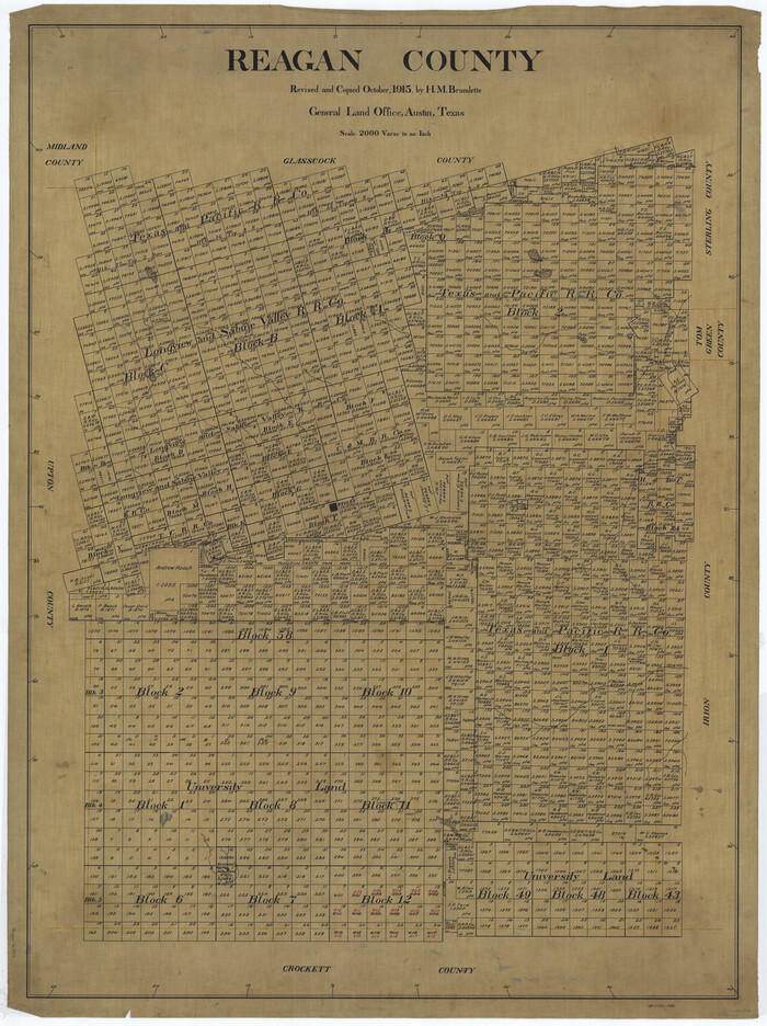

Print $40.00
- Digital $50.00
Reagan County
1915
Size 51.6 x 38.6 inches
Map/Doc 73340
![69737, [Surveys along the Nueces River in San Patricio County], General Map Collection](https://historictexasmaps.com/wmedia_w1800h1800/maps/69737.tif.jpg)
