Aransas County Rolled Sketch 10
Ocean View lands, Live Oak Peninsula
-
Map/Doc
42208
-
Collection
General Map Collection
-
Object Dates
1936 (Creation Date)
-
People and Organizations
Fred M. Percival (Surveyor/Engineer)
-
Counties
Aransas
-
Subjects
Surveying Rolled Sketch
-
Height x Width
10.6 x 15.4 inches
26.9 x 39.1 cm
-
Medium
multi-page, multi-format
Part of: General Map Collection
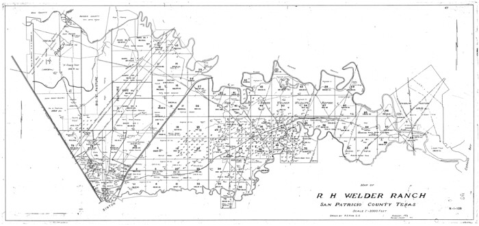
Map of R. H. Welder Ranch, San Patricio County, Texas

Print $40.00
- Digital $50.00
Map of R. H. Welder Ranch, San Patricio County, Texas
1953
Size 30.0 x 61.4 inches
Map/Doc 61406
Starr County Sketch File 32B


Print $20.00
- Digital $50.00
Starr County Sketch File 32B
1938
Size 19.9 x 21.5 inches
Map/Doc 12336
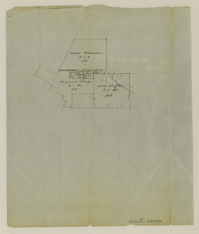
Fayette County Sketch File 1

Print $4.00
- Digital $50.00
Fayette County Sketch File 1
Size 8.4 x 7.2 inches
Map/Doc 22497
El Paso County Sketch File 5


Print $20.00
- Digital $50.00
El Paso County Sketch File 5
Size 25.3 x 18.9 inches
Map/Doc 11450
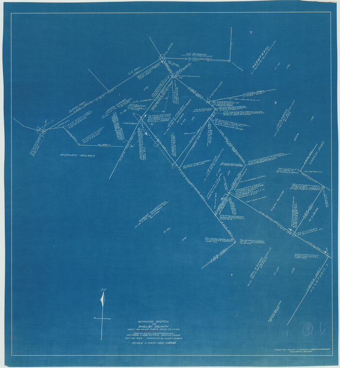
Shelby County Working Sketch 9

Print $20.00
- Digital $50.00
Shelby County Working Sketch 9
1945
Size 30.8 x 28.5 inches
Map/Doc 63862
Jack County Rolled Sketch 2


Print $20.00
- Digital $50.00
Jack County Rolled Sketch 2
1972
Size 31.3 x 29.0 inches
Map/Doc 6332
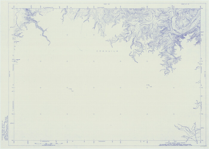
Amistad International Reservoir on Rio Grande 67

Print $20.00
- Digital $50.00
Amistad International Reservoir on Rio Grande 67
1949
Size 28.3 x 39.5 inches
Map/Doc 73352
[Abstract Numbering Register - Real through Zavala]
![82968, [Abstract Numbering Register - Real through Zavala], General Map Collection](https://historictexasmaps.com/wmedia_w700/pdf_converted_jpg/qi_pdf_thumbnail_30615.jpg)
![82968, [Abstract Numbering Register - Real through Zavala], General Map Collection](https://historictexasmaps.com/wmedia_w700/pdf_converted_jpg/qi_pdf_thumbnail_30615.jpg)
[Abstract Numbering Register - Real through Zavala]
Map/Doc 82968
Map of Espiritu Santo Bay in Calhoun County showing subdivision therof for mineral development


Print $20.00
- Digital $50.00
Map of Espiritu Santo Bay in Calhoun County showing subdivision therof for mineral development
1938
Size 38.6 x 42.9 inches
Map/Doc 2499
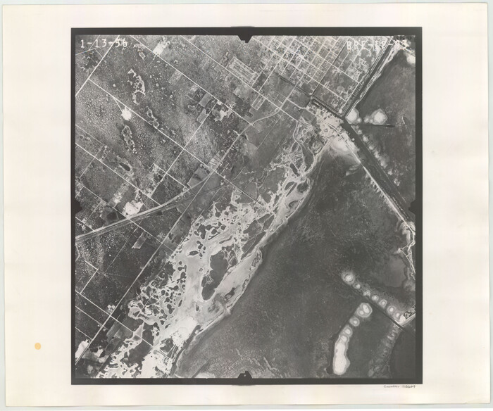
Flight Mission No. BRE-1P, Frame 93, Nueces County

Print $20.00
- Digital $50.00
Flight Mission No. BRE-1P, Frame 93, Nueces County
1956
Size 18.5 x 22.2 inches
Map/Doc 86664
You may also like
Tom Green County Sketch File 81


Print $20.00
- Digital $50.00
Tom Green County Sketch File 81
Size 16.6 x 23.4 inches
Map/Doc 12453
Baylor County Boundary File 14


Print $6.00
- Digital $50.00
Baylor County Boundary File 14
Size 11.1 x 8.6 inches
Map/Doc 50428
Terrell County Rolled Sketch H


Print $20.00
- Digital $50.00
Terrell County Rolled Sketch H
Size 17.2 x 22.9 inches
Map/Doc 7977
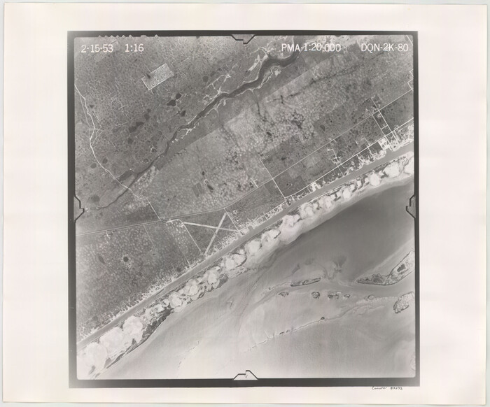
Flight Mission No. DQN-2K, Frame 80, Calhoun County

Print $20.00
- Digital $50.00
Flight Mission No. DQN-2K, Frame 80, Calhoun County
1953
Size 18.4 x 22.2 inches
Map/Doc 84272
Stonewall County Rolled Sketch 9
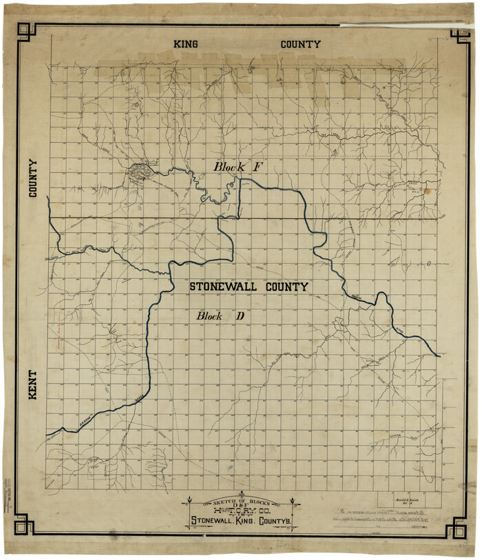

Print $20.00
- Digital $50.00
Stonewall County Rolled Sketch 9
Size 35.8 x 30.8 inches
Map/Doc 7865
Crosby County Sketch File 21
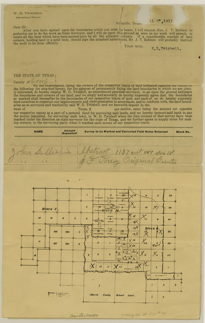

Print $6.00
- Digital $50.00
Crosby County Sketch File 21
Size 13.8 x 8.8 inches
Map/Doc 20087
Maverick County Rolled Sketch 14A
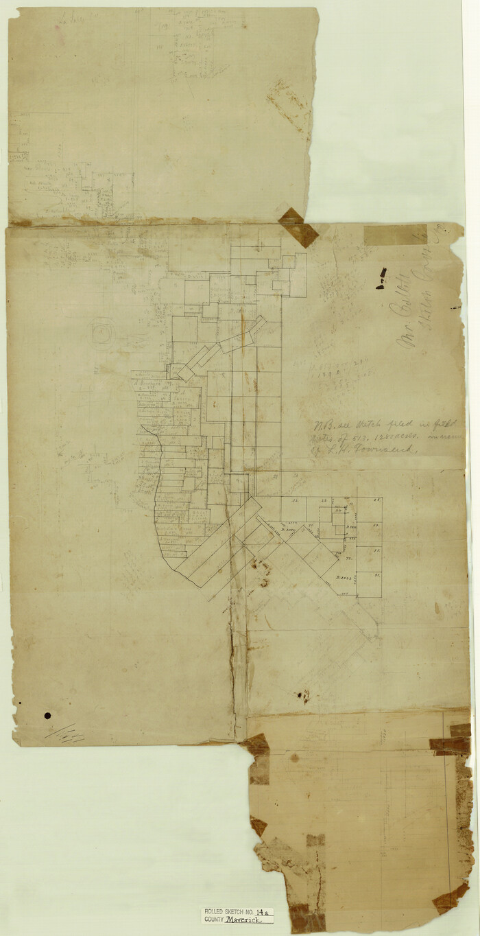

Print $20.00
- Digital $50.00
Maverick County Rolled Sketch 14A
Size 35.4 x 18.2 inches
Map/Doc 6708
Stonewall County Working Sketch 32


Print $20.00
- Digital $50.00
Stonewall County Working Sketch 32
1983
Size 27.9 x 36.2 inches
Map/Doc 62339
Hudspeth County Sketch File 37


Print $80.00
- Digital $50.00
Hudspeth County Sketch File 37
Size 12.5 x 98.3 inches
Map/Doc 27008
Liberty County Sketch File 18

Print $6.00
- Digital $50.00
Liberty County Sketch File 18
1859
Size 8.0 x 9.2 inches
Map/Doc 29920
Erath County Working Sketch 4


Print $20.00
- Digital $50.00
Erath County Working Sketch 4
1919
Size 31.7 x 28.6 inches
Map/Doc 69085
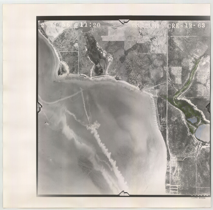
Flight Mission No. CRE-1R, Frame 63, Jackson County

Print $20.00
- Digital $50.00
Flight Mission No. CRE-1R, Frame 63, Jackson County
1956
Size 18.6 x 18.9 inches
Map/Doc 85326

