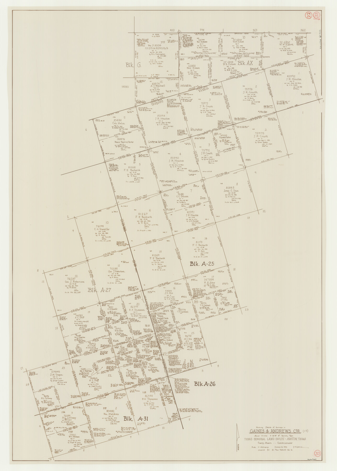
Gaines County Working Sketch 33
-
Map/Doc
69333
-
Collection
General Map Collection
-
Object Dates
10/3/1990 (Creation Date)
-
People and Organizations
Joan Kilpatrick (Draftsman)
-
Counties
Gaines Andrews
-
Subjects
Surveying Working Sketch
-
Height x Width
50.3 x 36.0 inches
127.8 x 91.4 cm
-
Scale
1" = 400 varas
Part of: General Map Collection
Burleson County Working Sketch 47

Print $20.00
- Digital $50.00
Burleson County Working Sketch 47
2010
Size 23.2 x 28.1 inches
Map/Doc 89620
Hopkins County Sketch File 24

Print $4.00
- Digital $50.00
Hopkins County Sketch File 24
1871
Size 12.8 x 8.4 inches
Map/Doc 26734
Schleicher County Rolled Sketch 3

Print $20.00
- Digital $50.00
Schleicher County Rolled Sketch 3
1890
Size 41.5 x 31.2 inches
Map/Doc 8362
Parmer County Working Sketch 1

Print $20.00
- Digital $50.00
Parmer County Working Sketch 1
1903
Map/Doc 71469
Map of Pecos and Reeves Counties

Print $40.00
- Digital $50.00
Map of Pecos and Reeves Counties
1873
Size 45.3 x 115.6 inches
Map/Doc 75930
Carte des Côtes du Golfe du Mexique compris entre la Pointe Sud de la Presqu'Ile de la Floride et la Pointe Nord de la Presqu'Ile d'Yucatan

Print $20.00
- Digital $50.00
Carte des Côtes du Golfe du Mexique compris entre la Pointe Sud de la Presqu'Ile de la Floride et la Pointe Nord de la Presqu'Ile d'Yucatan
1800
Size 26.0 x 37.5 inches
Map/Doc 95322
Galveston County Rolled Sketch Z62

Print $20.00
- Digital $50.00
Galveston County Rolled Sketch Z62
1933
Size 34.7 x 22.7 inches
Map/Doc 5994
Flight Mission No. DIX-8P, Frame 85, Aransas County

Print $20.00
- Digital $50.00
Flight Mission No. DIX-8P, Frame 85, Aransas County
1956
Size 18.4 x 19.0 inches
Map/Doc 83910
Jeff Davis County Rolled Sketch 30

Print $20.00
- Digital $50.00
Jeff Davis County Rolled Sketch 30
Size 35.7 x 29.7 inches
Map/Doc 6378
Brown County Working Sketch 5

Print $20.00
- Digital $50.00
Brown County Working Sketch 5
1939
Size 20.9 x 24.0 inches
Map/Doc 67770
Austin's colony 1821-1836: In commemoration of the two hundredth birthday of Stephen F. Austin

Print $20.00
- Digital $50.00
Austin's colony 1821-1836: In commemoration of the two hundredth birthday of Stephen F. Austin
1993
Size 24.6 x 34.5 inches
Map/Doc 1675
Pecos County Rolled Sketch 18

Print $20.00
- Digital $50.00
Pecos County Rolled Sketch 18
1882
Size 34.4 x 44.1 inches
Map/Doc 9683
You may also like
Flight Mission No. CRC-4R, Frame 113, Chambers County

Print $20.00
- Digital $50.00
Flight Mission No. CRC-4R, Frame 113, Chambers County
1956
Size 18.6 x 22.3 inches
Map/Doc 84910
Descripcion del Destricto del Audiencia de la Nueva Galicia

Print $20.00
- Digital $50.00
Descripcion del Destricto del Audiencia de la Nueva Galicia
1622
Size 13.0 x 17.6 inches
Map/Doc 97258
Flight Mission No. DCL-7C, Frame 49, Kenedy County

Print $20.00
- Digital $50.00
Flight Mission No. DCL-7C, Frame 49, Kenedy County
1943
Size 16.5 x 16.4 inches
Map/Doc 86037
Shackelford County Sketch File 11

Print $20.00
- Digital $50.00
Shackelford County Sketch File 11
1914
Size 16.8 x 17.0 inches
Map/Doc 12317
Comanche County Working Sketch 6

Print $20.00
- Digital $50.00
Comanche County Working Sketch 6
1935
Size 26.4 x 17.8 inches
Map/Doc 68140
Crockett County Rolled Sketch 1

Print $40.00
- Digital $50.00
Crockett County Rolled Sketch 1
1888
Size 36.5 x 61.1 inches
Map/Doc 76144

Flight Mission No. BRA-3M, Frame 126, Jefferson County

Print $20.00
- Digital $50.00
Flight Mission No. BRA-3M, Frame 126, Jefferson County
1953
Size 18.7 x 21.8 inches
Map/Doc 85400
Flight Mission No. CUG-2P, Frame 9, Kleberg County

Print $20.00
- Digital $50.00
Flight Mission No. CUG-2P, Frame 9, Kleberg County
1956
Size 18.6 x 22.2 inches
Map/Doc 86181
General Highway Map, Hardeman County, Texas

Print $20.00
General Highway Map, Hardeman County, Texas
1961
Size 24.6 x 18.1 inches
Map/Doc 79498
Tom Green County Sketch File 65

Print $18.00
- Digital $50.00
Tom Green County Sketch File 65
1892
Size 13.3 x 8.4 inches
Map/Doc 38227
Flight Mission No. DCL-7C, Frame 3, Kenedy County

Print $20.00
- Digital $50.00
Flight Mission No. DCL-7C, Frame 3, Kenedy County
1943
Size 18.5 x 22.3 inches
Map/Doc 85995