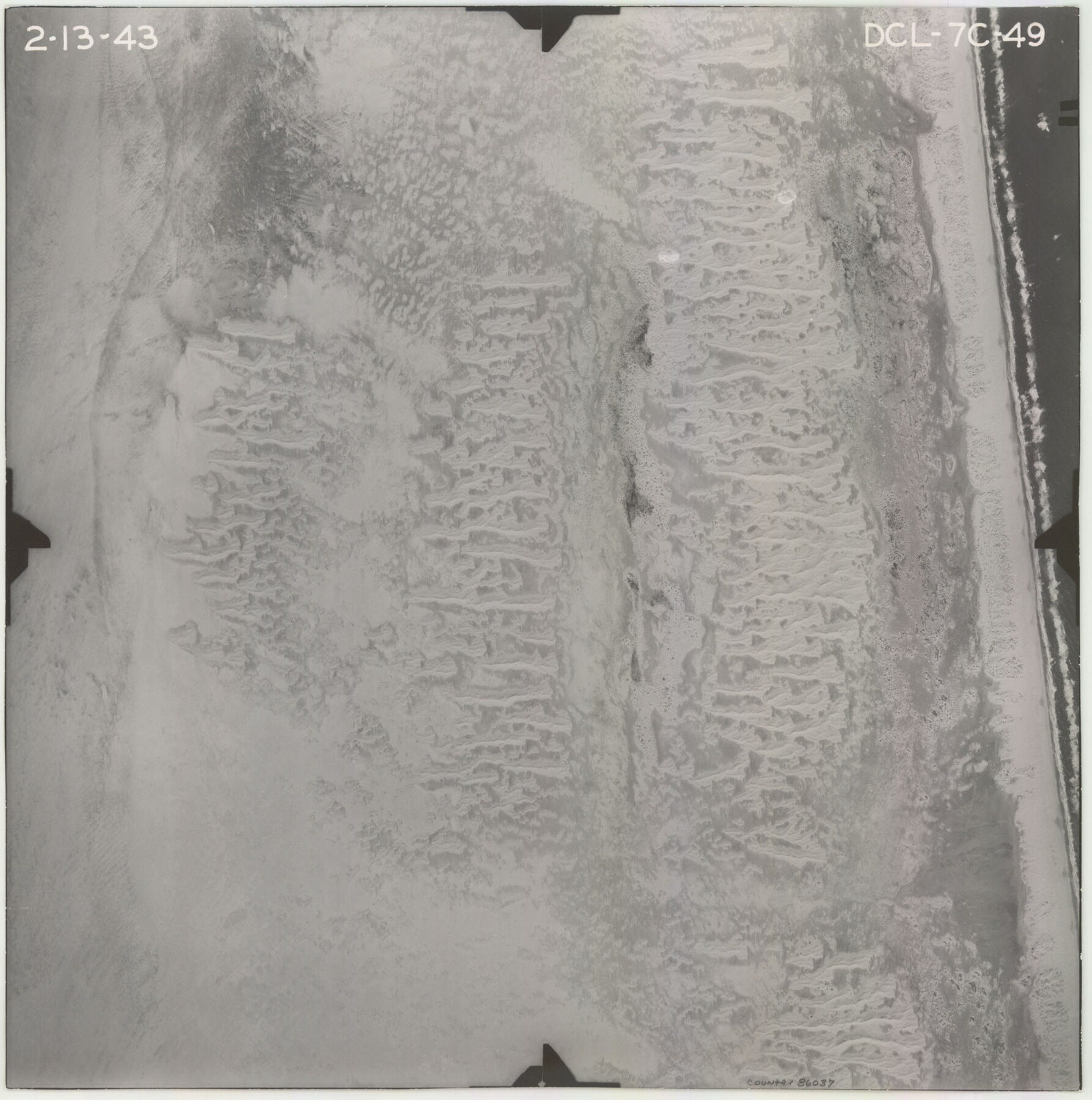
Flight Mission No. DCL-7C, Frame 49, Kenedy County
DCL-7C-49
-
Map/Doc
86037
-
Collection
General Map Collection
-
Object Dates
1943/2/13 (Creation Date)
-
People and Organizations
U. S. Department of Agriculture (Publisher)
-
Counties
Kenedy
-
Subjects
Aerial Photograph
-
Height x Width
16.5 x 16.4 inches
41.9 x 41.7 cm
-
Comments
Flown by Aerial Surveys of Pittsburgh, Inc. of Pittsburgh, Pennsylvania.
Part of: General Map Collection
Culberson County Sketch File 10

Print $4.00
- Digital $50.00
Culberson County Sketch File 10
1911
Size 14.6 x 9.0 inches
Map/Doc 20144
Val Verde County Working Sketch 92

Print $20.00
- Digital $50.00
Val Verde County Working Sketch 92
1978
Size 30.3 x 35.3 inches
Map/Doc 72227
T. & N. O. R.R. Jefferson Co. North

Print $20.00
- Digital $50.00
T. & N. O. R.R. Jefferson Co. North
1917
Size 13.4 x 33.5 inches
Map/Doc 64056
Jeff Davis County Rolled Sketch 37

Print $20.00
- Digital $50.00
Jeff Davis County Rolled Sketch 37
1992
Size 29.3 x 35.5 inches
Map/Doc 6380
G. C. & S. F. Ry. Alinement [sic] and Right of Way Map of Dallas Branch, Johnson County, Texas
![64652, G. C. & S. F. Ry. Alinement [sic] and Right of Way Map of Dallas Branch, Johnson County, Texas, General Map Collection](https://historictexasmaps.com/wmedia_w700/maps/64652.tif.jpg)
Print $40.00
- Digital $50.00
G. C. & S. F. Ry. Alinement [sic] and Right of Way Map of Dallas Branch, Johnson County, Texas
1925
Size 37.6 x 87.9 inches
Map/Doc 64652
Willacy County Aerial Photograph Index Sheet 4

Print $20.00
- Digital $50.00
Willacy County Aerial Photograph Index Sheet 4
1955
Size 24.3 x 19.8 inches
Map/Doc 83759
Duval County Working Sketch 6

Print $20.00
- Digital $50.00
Duval County Working Sketch 6
1935
Size 26.9 x 21.8 inches
Map/Doc 68719
Willacy County

Print $20.00
- Digital $50.00
Willacy County
1921
Size 25.2 x 33.1 inches
Map/Doc 1901
Harrison County Rolled Sketch 8

Print $33.00
- Digital $50.00
Harrison County Rolled Sketch 8
Size 10.1 x 15.2 inches
Map/Doc 45825
Val Verde County Working Sketch 34

Print $20.00
- Digital $50.00
Val Verde County Working Sketch 34
1940
Size 33.7 x 27.9 inches
Map/Doc 72169
Flight Mission No. BRA-17M, Frame 17, Jefferson County

Print $20.00
- Digital $50.00
Flight Mission No. BRA-17M, Frame 17, Jefferson County
1953
Size 18.5 x 22.3 inches
Map/Doc 85798
Haskell County Working Sketch 8

Print $20.00
- Digital $50.00
Haskell County Working Sketch 8
1957
Size 22.8 x 24.0 inches
Map/Doc 66066
You may also like
Section M, Tech Memorial Park, Inc.

Print $2.00
- Digital $50.00
Section M, Tech Memorial Park, Inc.
1950
Size 7.6 x 11.8 inches
Map/Doc 92271
Flight Mission No. CGI-3N, Frame 159, Cameron County

Print $20.00
- Digital $50.00
Flight Mission No. CGI-3N, Frame 159, Cameron County
1954
Size 18.6 x 22.3 inches
Map/Doc 84623
Trace of a copy of the map captured at the battle of Resaca de la Palma

Print $20.00
- Digital $50.00
Trace of a copy of the map captured at the battle of Resaca de la Palma
Size 18.4 x 27.4 inches
Map/Doc 73055
Belton and Stillhouse Hollow Reservoirs (Verso)

Belton and Stillhouse Hollow Reservoirs (Verso)
1972
Size 29.3 x 22.7 inches
Map/Doc 94173
In the Supreme Court of the United States, The State of Oklahoma, Complainant vs. The State of Texas, Defendant, The United States of America, Intervener, Red River Valley, Texas and Oklahoma Between the 98th and 100th Meridians in Five Sheets, 1921

Print $40.00
- Digital $50.00
In the Supreme Court of the United States, The State of Oklahoma, Complainant vs. The State of Texas, Defendant, The United States of America, Intervener, Red River Valley, Texas and Oklahoma Between the 98th and 100th Meridians in Five Sheets, 1921
1921
Size 38.6 x 60.0 inches
Map/Doc 75276
Nautical Chart 887-SC Intracoastal Waterway - Galveston Bay to Cedar Lakes including the Brazos and San Bernard Rivers, Texas

Print $20.00
- Digital $50.00
Nautical Chart 887-SC Intracoastal Waterway - Galveston Bay to Cedar Lakes including the Brazos and San Bernard Rivers, Texas
1971
Size 16.2 x 18.9 inches
Map/Doc 75911
Blanco County Sketch File 44

Print $40.00
- Digital $50.00
Blanco County Sketch File 44
1902
Size 17.6 x 13.7 inches
Map/Doc 14669
Tyler County Boundary File 1

Print $2.00
- Digital $50.00
Tyler County Boundary File 1
Size 14.2 x 8.8 inches
Map/Doc 59494
Dimmit County Working Sketch 46

Print $20.00
- Digital $50.00
Dimmit County Working Sketch 46
1980
Size 25.7 x 31.0 inches
Map/Doc 68707
Tom Green County Rolled Sketch 12

Print $40.00
- Digital $50.00
Tom Green County Rolled Sketch 12
1951
Size 51.0 x 42.5 inches
Map/Doc 10000
Aransas County Working Sketch 20

Print $20.00
- Digital $50.00
Aransas County Working Sketch 20
1980
Size 11.9 x 24.4 inches
Map/Doc 67187
Flight Mission No. DCL-6C, Frame 23, Kenedy County

Print $20.00
- Digital $50.00
Flight Mission No. DCL-6C, Frame 23, Kenedy County
1943
Size 18.7 x 22.3 inches
Map/Doc 85880