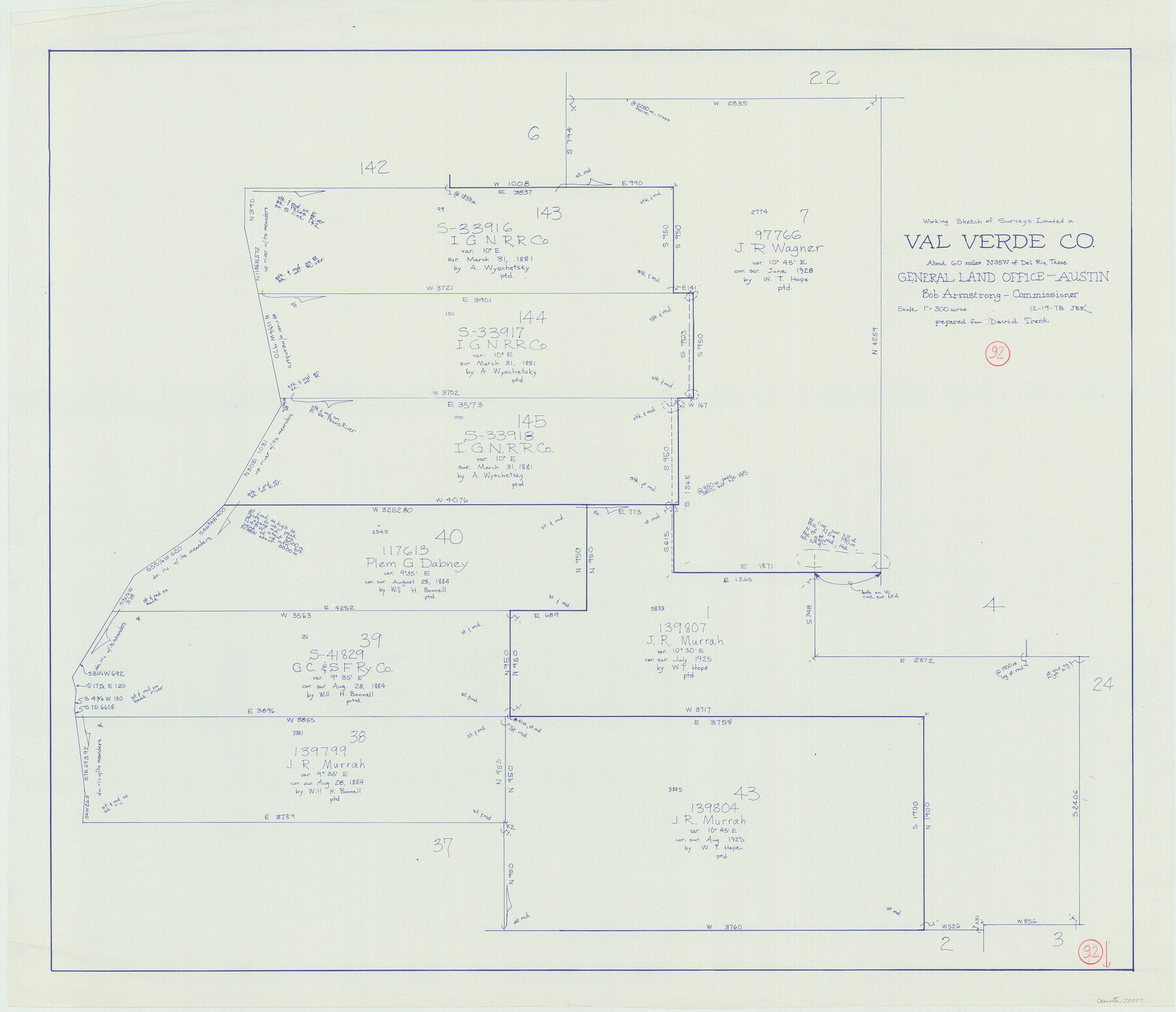
Val Verde County Working Sketch 92
-
Map/Doc
72227
-
Collection
General Map Collection
-
Object Dates
12/19/1978 (Creation Date)
-
People and Organizations
Joan Kilpatrick (Draftsman)
-
Counties
Val Verde
-
Subjects
Surveying Working Sketch
-
Height x Width
30.3 x 35.3 inches
77.0 x 89.7 cm
-
Scale
1" = 300 varas
Part of: General Map Collection
Grayson County Rolled Sketch 4

Print $20.00
- Digital $50.00
Grayson County Rolled Sketch 4
1953
Size 26.0 x 27.7 inches
Map/Doc 6031
Flight Mission No. BRA-16M, Frame 150, Jefferson County

Print $20.00
- Digital $50.00
Flight Mission No. BRA-16M, Frame 150, Jefferson County
1953
Size 18.5 x 22.3 inches
Map/Doc 85756
Erath County Sketch File 8a

Print $6.00
- Digital $50.00
Erath County Sketch File 8a
1853
Size 15.9 x 11.0 inches
Map/Doc 22271
Cottle County Sketch File 6c

Print $8.00
- Digital $50.00
Cottle County Sketch File 6c
Size 14.2 x 8.6 inches
Map/Doc 19480
Morris County Rolled Sketch 2A

Print $20.00
- Digital $50.00
Morris County Rolled Sketch 2A
Size 24.3 x 19.2 inches
Map/Doc 10284


Childress County Rolled Sketch 19

Print $20.00
- Digital $50.00
Childress County Rolled Sketch 19
2004
Size 24.6 x 18.6 inches
Map/Doc 81937
Travis County Appraisal District Plat Map 2_3215

Print $20.00
- Digital $50.00
Travis County Appraisal District Plat Map 2_3215
Size 21.5 x 26.4 inches
Map/Doc 94222
Orange County Working Sketch 42

Print $20.00
- Digital $50.00
Orange County Working Sketch 42
1979
Size 19.6 x 25.4 inches
Map/Doc 71374
Wharton County Sketch File 3a

Print $4.00
- Digital $50.00
Wharton County Sketch File 3a
1875
Size 6.8 x 4.6 inches
Map/Doc 39917
Flight Mission No. DAG-19K, Frame 60, Matagorda County

Print $20.00
- Digital $50.00
Flight Mission No. DAG-19K, Frame 60, Matagorda County
1952
Size 18.6 x 22.2 inches
Map/Doc 86387
You may also like
Campbell's Addition to El Paso, Texas

Print $20.00
- Digital $50.00
Campbell's Addition to El Paso, Texas
1885
Size 43.5 x 43.1 inches
Map/Doc 8854
Map of Rains County

Print $20.00
- Digital $50.00
Map of Rains County
1873
Size 12.0 x 12.4 inches
Map/Doc 4619
Orange County Working Sketch Graphic Index - sheet B

Print $20.00
- Digital $50.00
Orange County Working Sketch Graphic Index - sheet B
1921
Size 25.2 x 30.2 inches
Map/Doc 88744
Texas Intracoastal Waterway - Port O'Connor to San Antonio Bay, Including Pass Cavallo

Print $20.00
- Digital $50.00
Texas Intracoastal Waterway - Port O'Connor to San Antonio Bay, Including Pass Cavallo
1957
Size 27.3 x 38.9 inches
Map/Doc 73371
Carson County

Print $20.00
- Digital $50.00
Carson County
1932
Size 43.4 x 38.8 inches
Map/Doc 95449
Hudspeth County Working Sketch 31

Print $40.00
- Digital $50.00
Hudspeth County Working Sketch 31
1972
Size 56.6 x 38.9 inches
Map/Doc 66315
Chase & Bachelder's American Museum of Art

Print $20.00
- Digital $50.00
Chase & Bachelder's American Museum of Art
1875
Size 37.4 x 28.0 inches
Map/Doc 97495
El Paso County Boundary File 5

Print $80.00
- Digital $50.00
El Paso County Boundary File 5
Size 34.7 x 48.4 inches
Map/Doc 53078
Zavala County Sketch File 20

Print $4.00
- Digital $50.00
Zavala County Sketch File 20
1911
Size 9.1 x 8.2 inches
Map/Doc 41374
Topographical Map of the Rio Grande, Sheet No. 4

Print $20.00
- Digital $50.00
Topographical Map of the Rio Grande, Sheet No. 4
1912
Map/Doc 89528
Harris County Working Sketch 72

Print $20.00
- Digital $50.00
Harris County Working Sketch 72
1958
Size 24.9 x 43.6 inches
Map/Doc 65964
Gaines County Rolled Sketch 14C

Print $40.00
- Digital $50.00
Gaines County Rolled Sketch 14C
1940
Size 85.0 x 23.2 inches
Map/Doc 9034