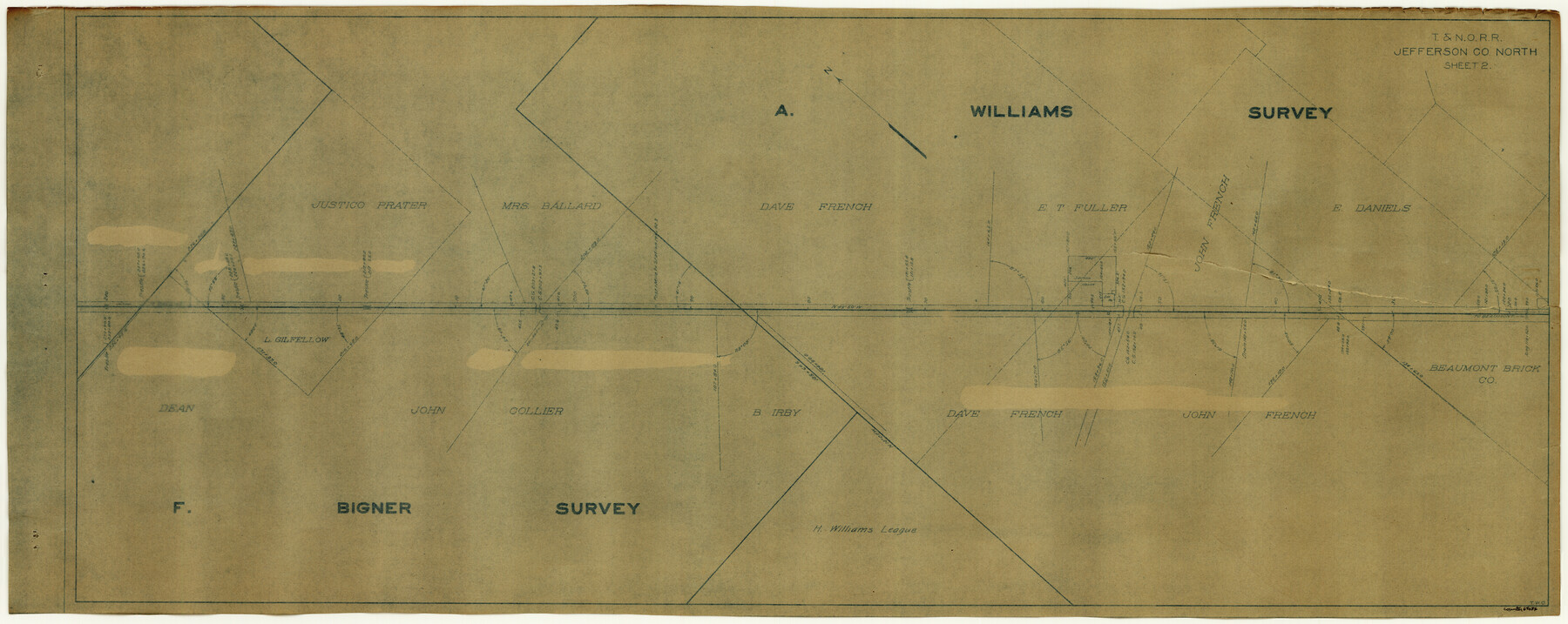
T. & N. O. R.R. Jefferson Co. North
Sheet 2
Z-2-16
-
Map/Doc
64056
-
Collection
General Map Collection
-
Object Dates
1917 (Creation Date)
-
Counties
Jefferson
-
Subjects
Railroads
-
Height x Width
13.4 x 33.5 inches
34.0 x 85.1 cm
-
Comments
See 64055, 64057, and 64058 for other segments of the map. See 64054 (PDF) for the documents/letter that accompanied the map.
-
Features
[Route] to Beaumont
T&NO
Part of: General Map Collection
Map of Robertson County

Print $20.00
- Digital $50.00
Map of Robertson County
1873
Size 28.0 x 21.6 inches
Map/Doc 83003
Sketch of the route from the camp on the Concho River to Phantom Hill, Texas

Print $20.00
- Digital $50.00
Sketch of the route from the camp on the Concho River to Phantom Hill, Texas
1852
Size 30.0 x 11.9 inches
Map/Doc 2005
Culberson County Sketch File 23

Print $10.00
- Digital $50.00
Culberson County Sketch File 23
1938
Size 14.2 x 8.6 inches
Map/Doc 20238
Polk County Working Sketch 6

Print $20.00
- Digital $50.00
Polk County Working Sketch 6
1933
Size 22.8 x 32.7 inches
Map/Doc 71621
Runnels County Sketch File 26

Print $20.00
Runnels County Sketch File 26
1949
Size 20.0 x 18.8 inches
Map/Doc 12260
Eastland County Working Sketch 64

Print $40.00
- Digital $50.00
Eastland County Working Sketch 64
1983
Size 43.3 x 68.4 inches
Map/Doc 88891
Erath County Rolled Sketch 2

Print $20.00
- Digital $50.00
Erath County Rolled Sketch 2
Size 21.0 x 25.9 inches
Map/Doc 5861

Flight Mission No. CGI-1N, Frame 214, Cameron County

Print $20.00
- Digital $50.00
Flight Mission No. CGI-1N, Frame 214, Cameron County
1955
Size 18.5 x 22.1 inches
Map/Doc 84523
Sulphur River, North Extension, Turner Lake Sheet

Print $4.00
- Digital $50.00
Sulphur River, North Extension, Turner Lake Sheet
1922
Size 17.8 x 18.6 inches
Map/Doc 65158
Dickens County Sketch File 22

Print $8.00
- Digital $50.00
Dickens County Sketch File 22
1913
Size 11.2 x 9.1 inches
Map/Doc 20985
Frio County Sketch File 21

Print $20.00
- Digital $50.00
Frio County Sketch File 21
1938
Size 23.4 x 24.3 inches
Map/Doc 11520
You may also like
Montgomery County Working Sketch Graphic Index, Sheet 1 (Sketches 1 to 35)

Print $40.00
- Digital $50.00
Montgomery County Working Sketch Graphic Index, Sheet 1 (Sketches 1 to 35)
1943
Size 43.0 x 51.9 inches
Map/Doc 76646
Flight Mission No. CGI-2N, Frame 152, Cameron County

Print $20.00
- Digital $50.00
Flight Mission No. CGI-2N, Frame 152, Cameron County
1954
Size 18.7 x 22.1 inches
Map/Doc 84534
Mason County Working Sketch 10

Print $40.00
- Digital $50.00
Mason County Working Sketch 10
1949
Size 42.4 x 49.7 inches
Map/Doc 70846
Zapata County Rolled Sketch 9

Print $20.00
- Digital $50.00
Zapata County Rolled Sketch 9
1912
Size 15.0 x 15.5 inches
Map/Doc 8310
Zapata County Sketch File 17

Print $32.00
- Digital $50.00
Zapata County Sketch File 17
1959
Size 14.4 x 8.9 inches
Map/Doc 40960
Stonewall County Sketch File 10

Print $10.00
- Digital $50.00
Stonewall County Sketch File 10
1899
Size 11.2 x 8.6 inches
Map/Doc 37232
Coast Chart No. 210 Aransas Pass and Corpus Christi Bay with the coast to latitude 27° 12' Texas

Print $20.00
- Digital $50.00
Coast Chart No. 210 Aransas Pass and Corpus Christi Bay with the coast to latitude 27° 12' Texas
1887
Size 27.6 x 18.2 inches
Map/Doc 72789
[R. Sikes and Surrounding Surveys]
![91160, [R. Sikes and Surrounding Surveys], Twichell Survey Records](https://historictexasmaps.com/wmedia_w700/maps/91160-1.tif.jpg)
Print $20.00
- Digital $50.00
[R. Sikes and Surrounding Surveys]
Size 14.8 x 20.2 inches
Map/Doc 91160
Polk County Rolled Sketch 30

Print $20.00
- Digital $50.00
Polk County Rolled Sketch 30
1958
Size 27.8 x 31.5 inches
Map/Doc 7316
Map of Robertson County

Print $40.00
- Digital $50.00
Map of Robertson County
1840
Size 59.4 x 38.6 inches
Map/Doc 4655
[Surveys in Hopkins and Wood Counties]
![365, [Surveys in Hopkins and Wood Counties], General Map Collection](https://historictexasmaps.com/wmedia_w700/maps/365-1.tif.jpg)
Print $20.00
- Digital $50.00
[Surveys in Hopkins and Wood Counties]
1838
Size 24.7 x 31.7 inches
Map/Doc 365
[E.L.R.R.R.R.Co. Blocks A-1, 1, H, Y, Public School Land Blocks C-40, C-41, C-39, C-42]
![92904, [E.L.R.R.R.R.Co. Blocks A-1, 1, H, Y, Public School Land Blocks C-40, C-41, C-39, C-42], Twichell Survey Records](https://historictexasmaps.com/wmedia_w700/maps/92904-1.tif.jpg)
Print $20.00
- Digital $50.00
[E.L.R.R.R.R.Co. Blocks A-1, 1, H, Y, Public School Land Blocks C-40, C-41, C-39, C-42]
Size 21.6 x 21.2 inches
Map/Doc 92904