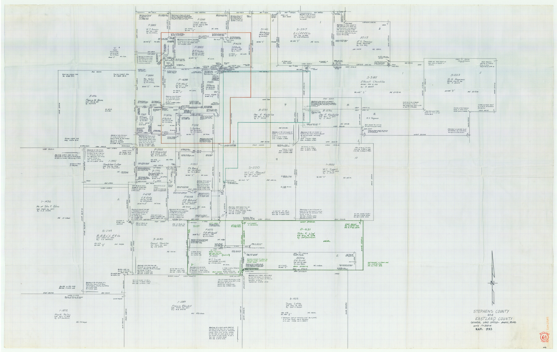
Eastland County Working Sketch 64
-
Map/Doc
88891
-
Collection
General Map Collection
-
Object Dates
1983 (Creation Date)
-
People and Organizations
Garry Mauro (GLO Commissioner)
Rosendo V. Molina (Draftsman)
-
Counties
Eastland Stephens
-
Subjects
Surveying Working Sketch
-
Height x Width
43.3 x 68.4 inches
110.0 x 173.7 cm
-
Scale
1" = 200 varas
Part of: General Map Collection
Brewster County Working Sketch Graphic Index, North Part, Sheet 2 (Sketches 87 to Most Recent)

Print $20.00
- Digital $50.00
Brewster County Working Sketch Graphic Index, North Part, Sheet 2 (Sketches 87 to Most Recent)
1956
Size 41.8 x 39.5 inches
Map/Doc 76474
Map of Taylor, Bastrop & Houston Railway through Colorado County, Texas

Print $20.00
- Digital $50.00
Map of Taylor, Bastrop & Houston Railway through Colorado County, Texas
1888
Size 12.7 x 20.0 inches
Map/Doc 64289
Dickens County Working Sketch 12

Print $20.00
- Digital $50.00
Dickens County Working Sketch 12
1978
Size 28.3 x 28.9 inches
Map/Doc 68660
Archer County Sketch File 21

Print $40.00
- Digital $50.00
Archer County Sketch File 21
Size 30.3 x 19.8 inches
Map/Doc 10830
Blanco County Boundary File 10

Print $26.00
- Digital $50.00
Blanco County Boundary File 10
Size 8.9 x 7.6 inches
Map/Doc 50576
La Salle County Sketch File 23

Print $40.00
- Digital $50.00
La Salle County Sketch File 23
Size 14.2 x 17.3 inches
Map/Doc 29530
Pecos County Sketch File 51

Print $16.00
- Digital $50.00
Pecos County Sketch File 51
1881
Size 12.8 x 8.4 inches
Map/Doc 33773
Flight Mission No. DIX-10P, Frame 70, Aransas County

Print $20.00
- Digital $50.00
Flight Mission No. DIX-10P, Frame 70, Aransas County
1956
Size 18.7 x 22.4 inches
Map/Doc 83931
Galveston County NRC Article 33.136 Sketch 45

Print $21.00
- Digital $50.00
Galveston County NRC Article 33.136 Sketch 45
2007
Size 18.7 x 23.4 inches
Map/Doc 87365
Kimble County

Print $40.00
- Digital $50.00
Kimble County
1890
Size 38.8 x 58.1 inches
Map/Doc 78414
Plan of Driving Park Addition composed of Out-lots 37, 38, 39, 49, 50, 60, & 61, Division "O" in the City of Austin

Print $20.00
- Digital $50.00
Plan of Driving Park Addition composed of Out-lots 37, 38, 39, 49, 50, 60, & 61, Division "O" in the City of Austin
1910
Size 18.4 x 15.9 inches
Map/Doc 2024
Dallas County Working Sketch 4

Print $20.00
- Digital $50.00
Dallas County Working Sketch 4
1935
Size 24.1 x 30.4 inches
Map/Doc 68570
You may also like
The Magic Valley of the Lower Rio Grande

The Magic Valley of the Lower Rio Grande
1926
Map/Doc 96733
McCulloch County Working Sketch Graphic Index

Print $20.00
- Digital $50.00
McCulloch County Working Sketch Graphic Index
1949
Size 47.3 x 37.4 inches
Map/Doc 76636
[Sketch for Mineral Application 12206 - Cow Bayou, O. B. Sawyer]
![65569, [Sketch for Mineral Application 12206 - Cow Bayou, O. B. Sawyer], General Map Collection](https://historictexasmaps.com/wmedia_w700/maps/65569.tif.jpg)
Print $40.00
- Digital $50.00
[Sketch for Mineral Application 12206 - Cow Bayou, O. B. Sawyer]
Size 63.3 x 36.5 inches
Map/Doc 65569
1882 Map of the Texas & Pacific R-Y Reserve

Print $20.00
- Digital $50.00
1882 Map of the Texas & Pacific R-Y Reserve
1887
Size 44.5 x 31.7 inches
Map/Doc 83559
Water-Shed of the Colorado River

Print $40.00
- Digital $50.00
Water-Shed of the Colorado River
1925
Size 37.1 x 79.8 inches
Map/Doc 65261
Block D14 Terry County

Print $20.00
- Digital $50.00
Block D14 Terry County
Size 17.0 x 17.7 inches
Map/Doc 92416
Jalisco Banco Number 67, cut from Mexico in 1909

Print $3.00
- Digital $50.00
Jalisco Banco Number 67, cut from Mexico in 1909
1912
Size 14.2 x 11.2 inches
Map/Doc 2064
Sutton County Sketch File JT

Print $12.00
- Digital $50.00
Sutton County Sketch File JT
Size 14.4 x 8.6 inches
Map/Doc 37453
Grimes County Working Sketch 6

Print $20.00
- Digital $50.00
Grimes County Working Sketch 6
1951
Size 33.2 x 33.4 inches
Map/Doc 63297
Coleman County Working Sketch 6

Print $20.00
- Digital $50.00
Coleman County Working Sketch 6
1939
Size 19.1 x 21.8 inches
Map/Doc 68072
Harris County Rolled Sketch T2

Print $20.00
- Digital $50.00
Harris County Rolled Sketch T2
1916
Size 26.8 x 23.2 inches
Map/Doc 6145
Chart of Aransas Harbor

Print $20.00
Chart of Aransas Harbor
1859
Size 14.2 x 17.4 inches
Map/Doc 76292