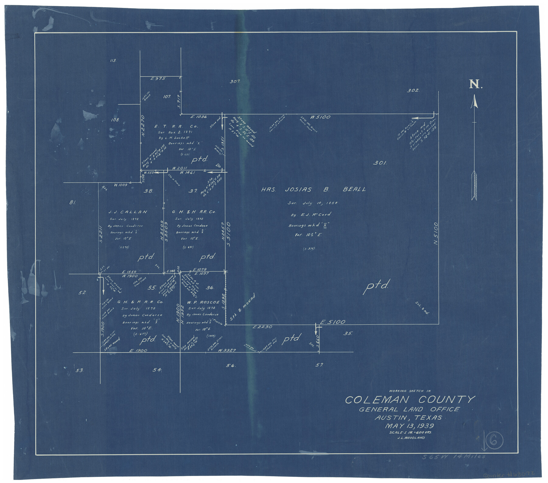
Coleman County Working Sketch 6
-
Map/Doc
68072
-
Collection
General Map Collection
-
Object Dates
5/13/1939 (Creation Date)
-
People and Organizations
J.L. Woodland (Draftsman)
-
Counties
Coleman
-
Subjects
Surveying Working Sketch
-
Height x Width
19.1 x 21.8 inches
48.5 x 55.4 cm
-
Scale
1" = 600 varas
Part of: General Map Collection
Franklin County Sketch File 1c

Print $4.00
- Digital $50.00
Franklin County Sketch File 1c
1853
Size 10.3 x 8.1 inches
Map/Doc 23010
McLennan County Sketch File 17

Print $4.00
- Digital $50.00
McLennan County Sketch File 17
1876
Size 7.9 x 12.7 inches
Map/Doc 31278
Jim Hogg County Rolled Sketch 4

Print $20.00
- Digital $50.00
Jim Hogg County Rolled Sketch 4
Size 17.0 x 30.5 inches
Map/Doc 6440
Potter County Boundary File 1b

Print $8.00
- Digital $50.00
Potter County Boundary File 1b
Size 14.4 x 8.4 inches
Map/Doc 57948
[Surveys in the Bexar District along the Leona River]
![135, [Surveys in the Bexar District along the Leona River], General Map Collection](https://historictexasmaps.com/wmedia_w700/maps/135.tif.jpg)
Print $20.00
- Digital $50.00
[Surveys in the Bexar District along the Leona River]
1841
Size 19.9 x 10.9 inches
Map/Doc 135
Real County Working Sketch 11

Print $20.00
- Digital $50.00
Real County Working Sketch 11
1929
Size 25.8 x 35.6 inches
Map/Doc 71903
[Fractional Township No. 7 South Range No. 17 East of the Indian Meridian, Indian Territory]
![75231, [Fractional Township No. 7 South Range No. 17 East of the Indian Meridian, Indian Territory], General Map Collection](https://historictexasmaps.com/wmedia_w700/maps/75231.tif.jpg)
Print $20.00
- Digital $50.00
[Fractional Township No. 7 South Range No. 17 East of the Indian Meridian, Indian Territory]
Size 19.2 x 24.3 inches
Map/Doc 75231
Nueces County NRC Article 33.136 Sketch 10

Print $36.00
- Digital $50.00
Nueces County NRC Article 33.136 Sketch 10
2004
Size 23.9 x 35.9 inches
Map/Doc 83526
Lynn County Rolled Sketch 11

Print $20.00
- Digital $50.00
Lynn County Rolled Sketch 11
1940
Size 14.2 x 16.4 inches
Map/Doc 6647
Knox County Working Sketch 18

Print $20.00
- Digital $50.00
Knox County Working Sketch 18
1988
Size 40.0 x 29.7 inches
Map/Doc 70260
Starr County Rolled Sketch 19

Print $20.00
- Digital $50.00
Starr County Rolled Sketch 19
1920
Size 20.8 x 24.9 inches
Map/Doc 7803
Jeff Davis County Working Sketch 18

Print $20.00
- Digital $50.00
Jeff Davis County Working Sketch 18
1956
Size 31.3 x 21.5 inches
Map/Doc 66513
You may also like
Swisher County Boundary File 2

Print $106.00
- Digital $50.00
Swisher County Boundary File 2
Size 14.3 x 9.0 inches
Map/Doc 59093
Borden County Sketch File 9

Print $6.00
- Digital $50.00
Borden County Sketch File 9
Size 10.2 x 13.4 inches
Map/Doc 14728
Stonewall County Sketch File 26

Print $20.00
- Digital $50.00
Stonewall County Sketch File 26
1953
Size 35.7 x 36.8 inches
Map/Doc 10376
Kimble County Working Sketch 38

Print $20.00
- Digital $50.00
Kimble County Working Sketch 38
1946
Size 37.4 x 26.2 inches
Map/Doc 70106
Real County Working Sketch 11
Print $20.00
- Digital $50.00
Real County Working Sketch 11
1929
Size 25.8 x 35.6 inches
Map/Doc 71903
Marion County Working Sketch 37

Print $20.00
- Digital $50.00
Marion County Working Sketch 37
1986
Size 30.0 x 43.0 inches
Map/Doc 70813

Fannin County Sketch File 12

Print $4.00
- Digital $50.00
Fannin County Sketch File 12
Size 8.4 x 6.5 inches
Map/Doc 22460
McMullen County Working Sketch 24

Print $20.00
- Digital $50.00
McMullen County Working Sketch 24
1950
Size 31.5 x 31.0 inches
Map/Doc 70725
Sectional map of Texas traversed by the Missouri, Kansas & Texas Railway, showing the crops adapted to each section, with the elevation and annual rainfall

Print $20.00
- Digital $50.00
Sectional map of Texas traversed by the Missouri, Kansas & Texas Railway, showing the crops adapted to each section, with the elevation and annual rainfall
Size 21.9 x 22.8 inches
Map/Doc 95818
Jefferson County Rolled Sketch 25A

Print $20.00
- Digital $50.00
Jefferson County Rolled Sketch 25A
Size 24.4 x 39.6 inches
Map/Doc 6389
Culberson County Rolled Sketch 56

Print $37.00
- Digital $50.00
Culberson County Rolled Sketch 56
1972
Size 11.0 x 15.6 inches
Map/Doc 44267