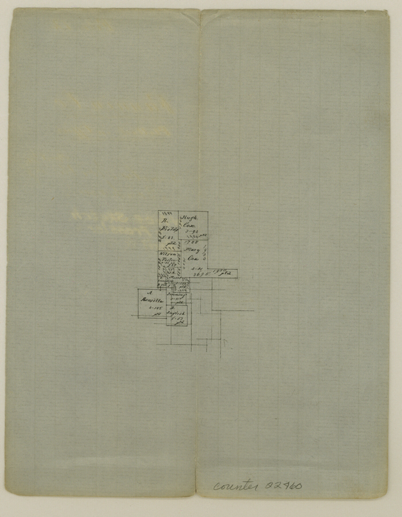
Fannin County Sketch File 12
[Sketch of surveys north of Bonham]
-
Map/Doc
22460
-
Collection
General Map Collection
-
Object Dates
1861/4/6 (File Date)
-
People and Organizations
Pressler (Surveyor/Engineer)
-
Counties
Fannin
-
Subjects
Surveying Sketch File
-
Height x Width
8.4 x 6.5 inches
21.3 x 16.5 cm
-
Medium
paper, manuscript
Part of: General Map Collection
Map of Jack County

Print $20.00
- Digital $50.00
Map of Jack County
1868
Size 23.8 x 19.8 inches
Map/Doc 3701
Atascosa County Sketch File 17

Print $2.00
- Digital $50.00
Atascosa County Sketch File 17
Size 7.9 x 6.6 inches
Map/Doc 13783
Palo Pinto County Working Sketch 10

Print $20.00
- Digital $50.00
Palo Pinto County Working Sketch 10
Size 12.5 x 17.4 inches
Map/Doc 71393

Texas Intracoastal Waterway - Laguna Madre - Rincon de San Jose to Chubby Island

Print $20.00
- Digital $50.00
Texas Intracoastal Waterway - Laguna Madre - Rincon de San Jose to Chubby Island
1957
Size 39.2 x 27.1 inches
Map/Doc 73512
Pecos County Rolled Sketch P

Print $20.00
- Digital $50.00
Pecos County Rolled Sketch P
1885
Size 39.0 x 46.1 inches
Map/Doc 9686
McMullen County Working Sketch 5

Print $20.00
- Digital $50.00
McMullen County Working Sketch 5
1923
Size 21.8 x 19.0 inches
Map/Doc 70706

The United States of North America with the British Territories and Those of Spain, according to the Treaty of 1784

Print $20.00
- Digital $50.00
The United States of North America with the British Territories and Those of Spain, according to the Treaty of 1784
1796
Size 23.6 x 30.8 inches
Map/Doc 95738
Liberty County Working Sketch 90

Print $20.00
- Digital $50.00
Liberty County Working Sketch 90
2001
Size 23.1 x 43.1 inches
Map/Doc 70550
Flight Mission No. CRC-2R, Frame 62, Chambers County

Print $20.00
- Digital $50.00
Flight Mission No. CRC-2R, Frame 62, Chambers County
1956
Size 18.6 x 22.5 inches
Map/Doc 84733
King County Boundary File 1

Print $46.00
- Digital $50.00
King County Boundary File 1
Size 14.2 x 8.6 inches
Map/Doc 64873
You may also like
Tom Green County Sketch File 71

Print $20.00
- Digital $50.00
Tom Green County Sketch File 71
1948
Size 17.5 x 20.6 inches
Map/Doc 12447
Cameron County Rolled Sketch 15

Print $40.00
- Digital $50.00
Cameron County Rolled Sketch 15
1958
Size 53.0 x 32.0 inches
Map/Doc 8568
Flight Mission No. CGI-2N, Frame 154, Cameron County

Print $20.00
- Digital $50.00
Flight Mission No. CGI-2N, Frame 154, Cameron County
1954
Size 18.6 x 19.0 inches
Map/Doc 84536

[Sketch showing PSL Block AX and C. C. S. D. & R. G. N. G. RR. Co. Block G]
![90838, [Sketch showing PSL Block AX and C. C. S. D. & R. G. N. G. RR. Co. Block G], Twichell Survey Records](https://historictexasmaps.com/wmedia_w700/maps/90838-2.tif.jpg)
Print $20.00
- Digital $50.00
[Sketch showing PSL Block AX and C. C. S. D. & R. G. N. G. RR. Co. Block G]
Size 25.8 x 16.6 inches
Map/Doc 90838
Controlled Mosaic by Jack Amman Photogrammetric Engineers, Inc - Sheet 22

Print $20.00
- Digital $50.00
Controlled Mosaic by Jack Amman Photogrammetric Engineers, Inc - Sheet 22
1954
Size 20.0 x 24.0 inches
Map/Doc 83471
Flight Mission No. CUG-2P, Frame 66, Kleberg County

Print $20.00
- Digital $50.00
Flight Mission No. CUG-2P, Frame 66, Kleberg County
1956
Size 18.5 x 22.2 inches
Map/Doc 86203
Sabine County Sketch File 7a

Print $4.00
Sabine County Sketch File 7a
1882
Size 14.2 x 8.7 inches
Map/Doc 35620
Ward County Rolled Sketch 1

Print $20.00
- Digital $50.00
Ward County Rolled Sketch 1
1888
Size 41.7 x 11.6 inches
Map/Doc 76166
Tarrant County State Real Property Sketch 1

Print $60.00
- Digital $50.00
Tarrant County State Real Property Sketch 1
2007
Size 24.5 x 35.3 inches
Map/Doc 88666
Webb County Sketch File 13b

Print $3.00
- Digital $50.00
Webb County Sketch File 13b
1893
Size 14.0 x 9.8 inches
Map/Doc 39803
[Leagues 302- 308, 315- 318, Portions of Blocks S and M19, on Oldham-Potter County Line]
![91481, [Leagues 302- 308, 315- 318, Portions of Blocks S and M19, on Oldham-Potter County Line], Twichell Survey Records](https://historictexasmaps.com/wmedia_w700/maps/91481-1.tif.jpg)
Print $20.00
- Digital $50.00
[Leagues 302- 308, 315- 318, Portions of Blocks S and M19, on Oldham-Potter County Line]
Size 22.4 x 15.7 inches
Map/Doc 91481