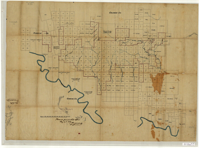
Coleman County Sketch File 31
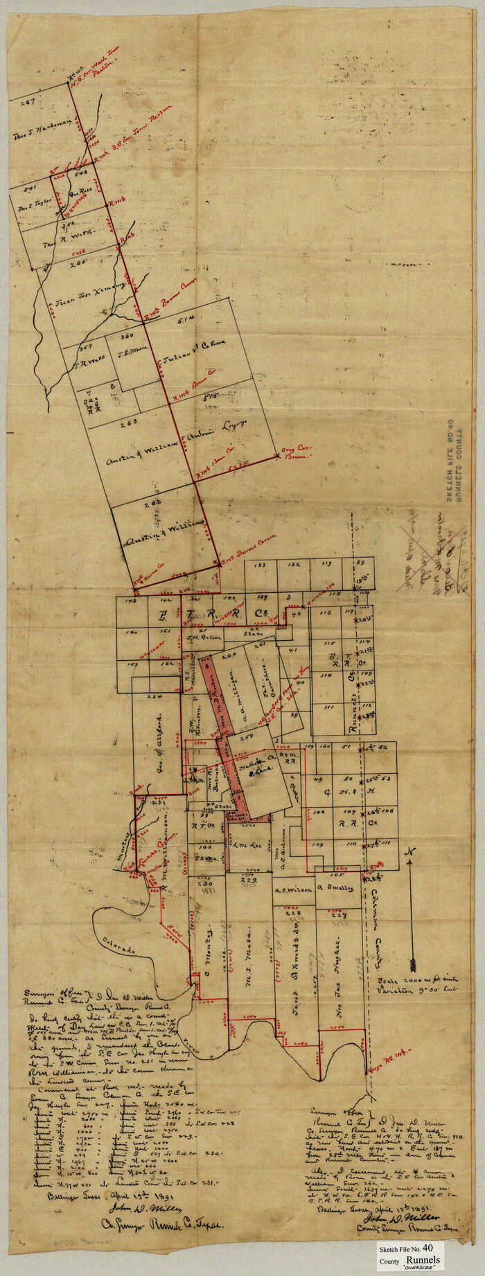
Runnels County Sketch File 40
1891

Brown County Sketch File 10
1868
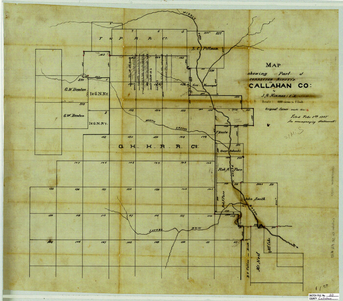
Callahan County Sketch File 10
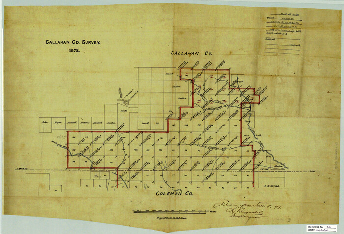
Callahan County Sketch File 12
1872
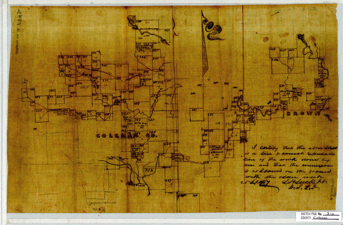
Coleman County Sketch File 3a
1857
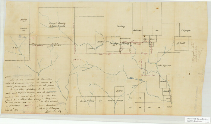
Coleman County Sketch File 4a
1873
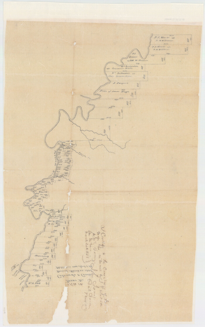
Coleman County Sketch File 10
1848

Coleman County Sketch File 26a

Coleman County Sketch File 27a
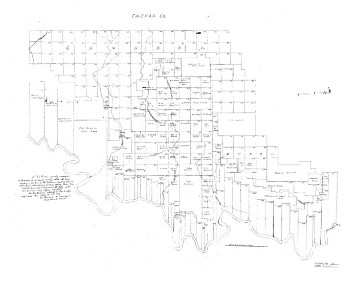
Coleman County Sketch File 36
1878
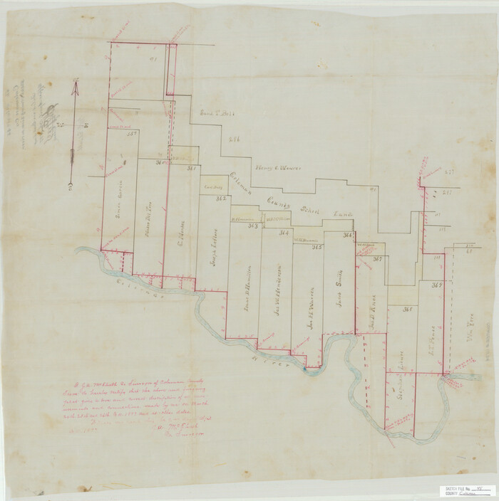
Coleman County Sketch File 45
1897
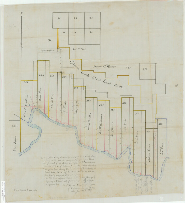
Coleman County Sketch File 46
1894

Runnels County Sketch File 24
1930

Runnels County Sketch File 29
1950

Runnels County Sketch File 39
1891
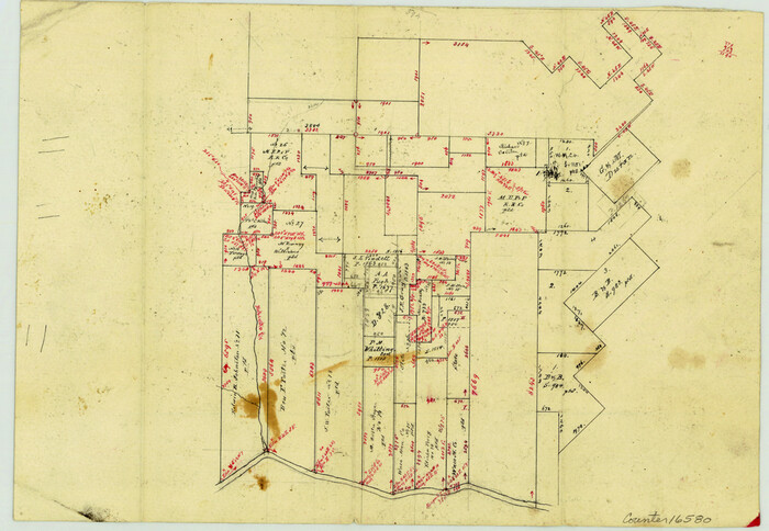
Brown County Sketch File X
1882

Brown County Sketch File 15
1857
Coleman County Sketch File A1
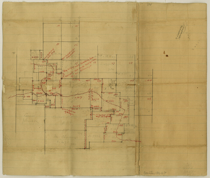
Coleman County Sketch File A2
1879
Coleman County Sketch File 2
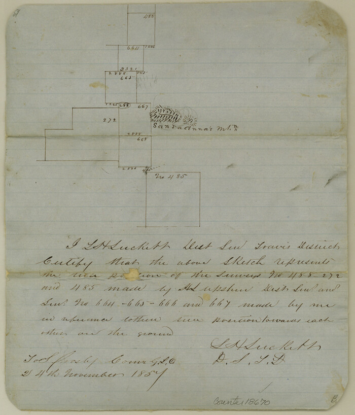
Coleman County Sketch File 3
1857
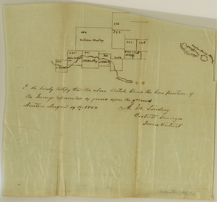
Coleman County Sketch File 4
1855
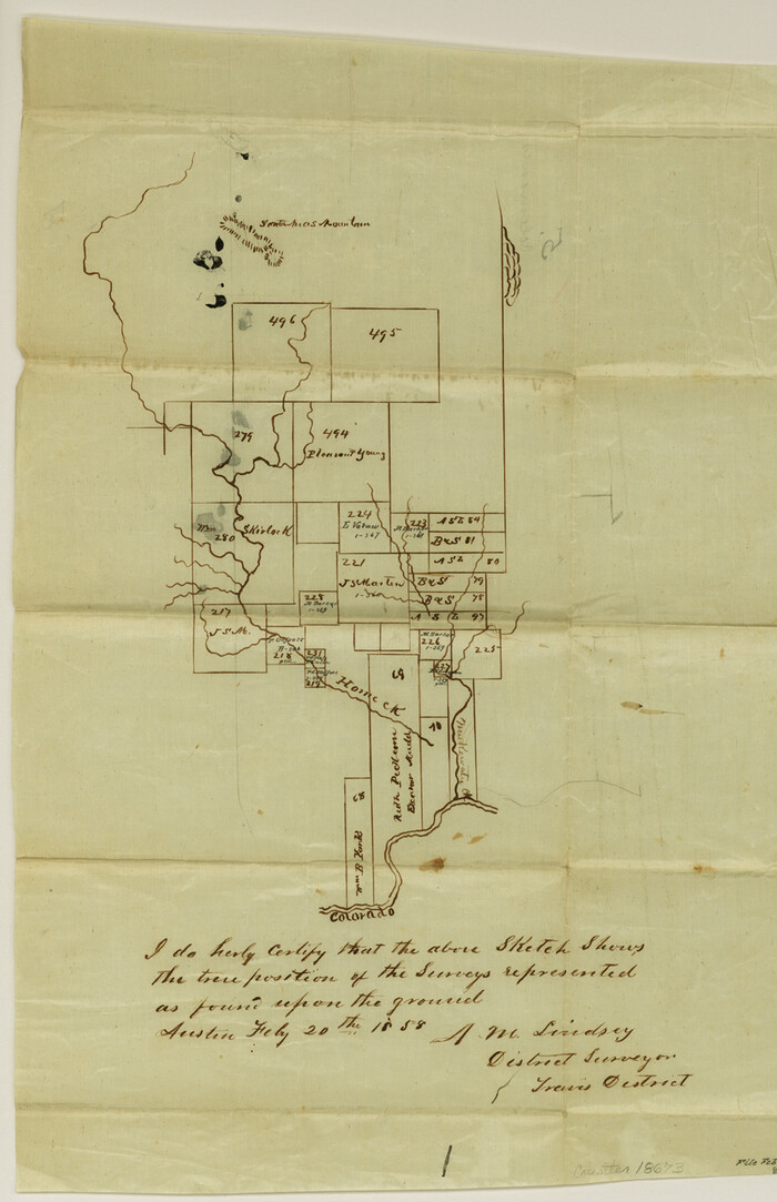
Coleman County Sketch File 5
1858
Coleman County Sketch File 7
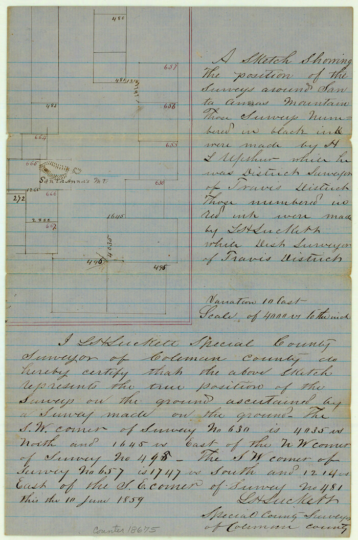
Coleman County Sketch File 9
1859
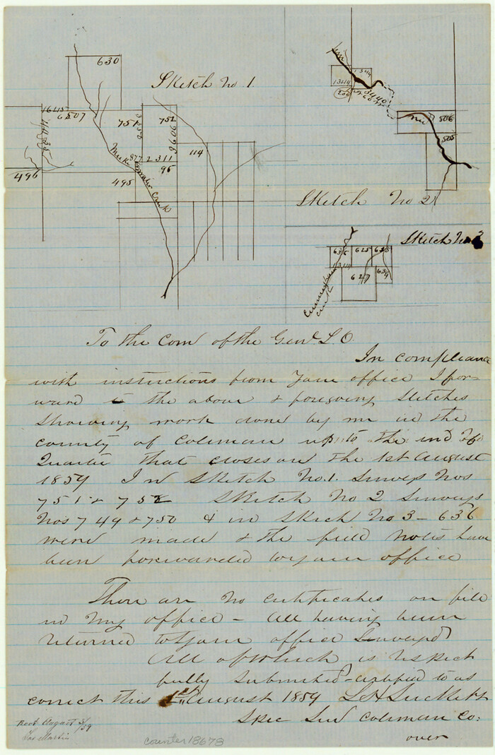
Coleman County Sketch File 10a
1859
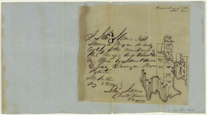
Coleman County Sketch File 15
1848
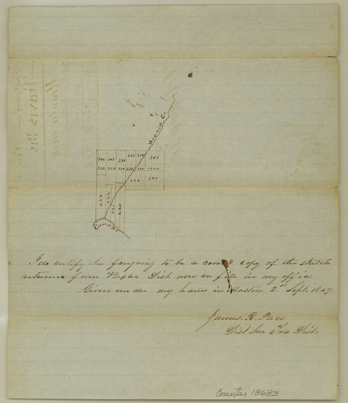
Coleman County Sketch File 16
1849

Coleman County Sketch File 31
-
Size
31.2 x 41.9 inches
-
Map/Doc
10339

Runnels County Sketch File 40
1891
-
Size
37.7 x 14.3 inches
-
Map/Doc
10594
-
Creation Date
1891

Brown County Sketch File 10
1868
-
Size
17.4 x 22.3 inches
-
Map/Doc
11019
-
Creation Date
1868

Callahan County Sketch File 10
-
Size
21.7 x 24.7 inches
-
Map/Doc
11039

Callahan County Sketch File 12
1872
-
Size
17.8 x 26.2 inches
-
Map/Doc
11041
-
Creation Date
1872

Coleman County Sketch File 3a
1857
-
Size
12.6 x 19.2 inches
-
Map/Doc
11117
-
Creation Date
1857

Coleman County Sketch File 4a
1873
-
Size
12.4 x 20.9 inches
-
Map/Doc
11118
-
Creation Date
1873

Coleman County Sketch File 10
1848
-
Size
28.0 x 13.2 inches
-
Map/Doc
11119
-
Creation Date
1848

Coleman County Sketch File 26a
-
Size
10.6 x 15.8 inches
-
Map/Doc
11120

Coleman County Sketch File 27a
-
Size
22.6 x 24.3 inches
-
Map/Doc
11121

Coleman County Sketch File 36
1878
-
Size
24.5 x 30.8 inches
-
Map/Doc
11122
-
Creation Date
1878

Coleman County Sketch File 45
1897
-
Size
23.9 x 23.8 inches
-
Map/Doc
11124
-
Creation Date
1897

Coleman County Sketch File 46
1894
-
Size
24.0 x 21.8 inches
-
Map/Doc
11125
-
Creation Date
1894

Runnels County Sketch File 24
1930
-
Size
25.2 x 21.3 inches
-
Map/Doc
12258
-
Creation Date
1930

Runnels County Sketch File 29
1950
-
Size
23.8 x 18.0 inches
-
Map/Doc
12261
-
Creation Date
1950

Runnels County Sketch File 39
1891
-
Size
25.2 x 19.1 inches
-
Map/Doc
12270
-
Creation Date
1891

Brown County Sketch File X
1882
-
Size
8.1 x 11.7 inches
-
Map/Doc
16580
-
Creation Date
1882

Brown County Sketch File 15
1857
-
Size
12.2 x 8.0 inches
-
Map/Doc
16610
-
Creation Date
1857

Coleman County
1945
-
Size
54.9 x 37.1 inches
-
Map/Doc
1803
-
Creation Date
1945

Coleman County Sketch File A1
-
Size
5.4 x 7.7 inches
-
Map/Doc
18664

Coleman County Sketch File A2
1879
-
Size
9.2 x 10.8 inches
-
Map/Doc
18667
-
Creation Date
1879

Coleman County Sketch File 2
-
Size
8.4 x 3.3 inches
-
Map/Doc
18669

Coleman County Sketch File 3
1857
-
Size
9.5 x 8.1 inches
-
Map/Doc
18670
-
Creation Date
1857

Coleman County Sketch File 4
1855
-
Size
8.2 x 8.8 inches
-
Map/Doc
18672
-
Creation Date
1855

Coleman County Sketch File 5
1858
-
Size
15.2 x 9.9 inches
-
Map/Doc
18673
-
Creation Date
1858

Coleman County Sketch File 7
-
Size
8.2 x 10.3 inches
-
Map/Doc
18674

Coleman County Sketch File 9
1859
-
Size
12.4 x 8.2 inches
-
Map/Doc
18675
-
Creation Date
1859

Coleman County Sketch File 10a
1859
-
Size
12.4 x 8.1 inches
-
Map/Doc
18678
-
Creation Date
1859

Coleman County Sketch File 15
1848
-
Size
7.3 x 13.0 inches
-
Map/Doc
18681
-
Creation Date
1848

Coleman County Sketch File 16
1849
-
Size
9.6 x 8.3 inches
-
Map/Doc
18683
-
Creation Date
1849