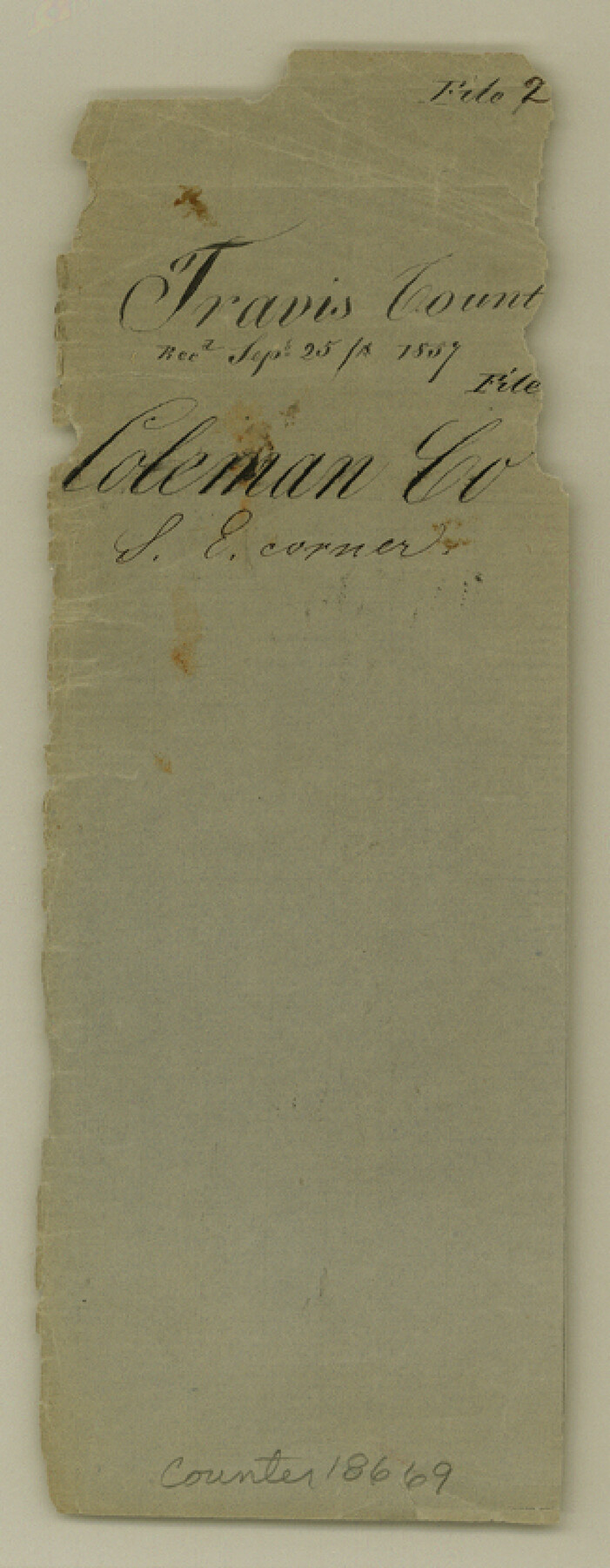
Coleman County Sketch File 2
[Jacket only]
-
Map/Doc
18669
-
Collection
General Map Collection
-
Counties
Coleman
-
Subjects
Surveying Sketch File
-
Height x Width
8.4 x 3.3 inches
21.3 x 8.4 cm
-
Medium
paper, manuscript
Part of: General Map Collection
Clay County Boundary File 17

Print $8.00
- Digital $50.00
Clay County Boundary File 17
Size 13.8 x 8.4 inches
Map/Doc 51432
Bee County Sketch File 1a

Print $12.00
- Digital $50.00
Bee County Sketch File 1a
1846
Size 9.8 x 6.5 inches
Map/Doc 14359
Andrews County Sketch File 13

Print $12.00
- Digital $50.00
Andrews County Sketch File 13
1979
Size 14.2 x 8.7 inches
Map/Doc 12863
Edwards County Working Sketch 140

Print $20.00
- Digital $50.00
Edwards County Working Sketch 140
2014
Size 36.1 x 41.1 inches
Map/Doc 93665
Kendall County Working Sketch 28

Print $20.00
- Digital $50.00
Kendall County Working Sketch 28
1995
Size 36.0 x 37.2 inches
Map/Doc 70001
Hill County Sketch File 14

Print $4.00
- Digital $50.00
Hill County Sketch File 14
Size 3.8 x 4.3 inches
Map/Doc 26480
Edwards County Working Sketch 73

Print $20.00
- Digital $50.00
Edwards County Working Sketch 73
1958
Size 30.4 x 27.0 inches
Map/Doc 68949
Crockett County Sketch File 66

Print $6.00
- Digital $50.00
Crockett County Sketch File 66
1927
Size 10.2 x 11.3 inches
Map/Doc 19853
Newton County Rolled Sketch JFB

Print $20.00
- Digital $50.00
Newton County Rolled Sketch JFB
1936
Size 16.0 x 38.3 inches
Map/Doc 6858

Archer County Sketch File B

Print $18.00
- Digital $50.00
Archer County Sketch File B
1892
Size 14.2 x 8.8 inches
Map/Doc 13566
In the Supreme Court of the United States The State of Oklahoma, Complainant vs. The State of Texas, Defendant, The United States of America, Intervener - 1920

Print $20.00
- Digital $50.00
In the Supreme Court of the United States The State of Oklahoma, Complainant vs. The State of Texas, Defendant, The United States of America, Intervener - 1920
1920
Size 31.6 x 37.2 inches
Map/Doc 75115
You may also like
Flight Mission No. DQN-2K, Frame 120, Calhoun County

Print $20.00
- Digital $50.00
Flight Mission No. DQN-2K, Frame 120, Calhoun County
1953
Size 18.4 x 16.1 inches
Map/Doc 84296
Montague County Working Sketch 41

Print $40.00
- Digital $50.00
Montague County Working Sketch 41
1923
Size 43.0 x 66.1 inches
Map/Doc 65349

Liberty County Sketch File 24

Print $6.00
- Digital $50.00
Liberty County Sketch File 24
Size 10.2 x 7.9 inches
Map/Doc 29936
Gregg County Rolled Sketch 21

Print $20.00
- Digital $50.00
Gregg County Rolled Sketch 21
1957
Size 34.4 x 40.4 inches
Map/Doc 10650
Kinney County Working Sketch 2

Print $20.00
- Digital $50.00
Kinney County Working Sketch 2
1886
Size 20.0 x 20.4 inches
Map/Doc 70184
Webb County Sketch File 1a

Print $20.00
- Digital $50.00
Webb County Sketch File 1a
1871
Size 23.3 x 18.0 inches
Map/Doc 12623
Map of the Globe showing its continents, islands, mountain ranges, table lands, plains and slopes

Print $20.00
- Digital $50.00
Map of the Globe showing its continents, islands, mountain ranges, table lands, plains and slopes
1885
Size 12.2 x 18.5 inches
Map/Doc 93532
Flight Mission No. BQR-5K, Frame 66, Brazoria County

Print $20.00
- Digital $50.00
Flight Mission No. BQR-5K, Frame 66, Brazoria County
1952
Size 18.8 x 22.5 inches
Map/Doc 84011
Brewster County Sketch File 14

Print $26.00
- Digital $50.00
Brewster County Sketch File 14
Size 11.2 x 8.8 inches
Map/Doc 15746
Red River, Bois D'Arc Creek Floodway Sheet No. 1

Print $20.00
- Digital $50.00
Red River, Bois D'Arc Creek Floodway Sheet No. 1
1915
Size 28.8 x 25.9 inches
Map/Doc 69656
Armstrong County Working Sketch 11

Print $20.00
- Digital $50.00
Armstrong County Working Sketch 11
2025
Size 24.7 x 36.5 inches
Map/Doc 97507