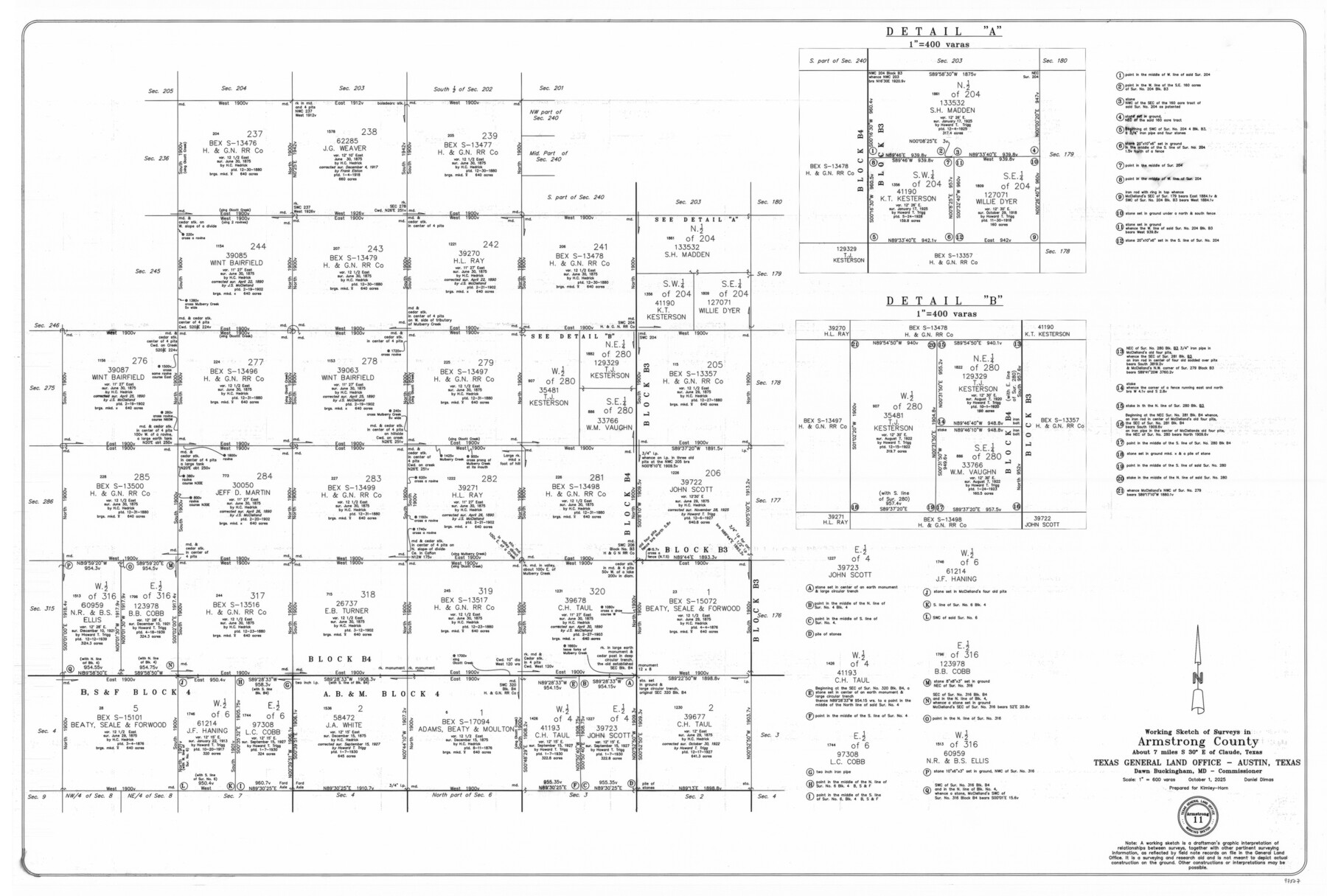
Armstrong County Working Sketch 11
-
Map/Doc
97507
-
Collection
General Map Collection
-
Object Dates
10/1/2025 (Creation Date)
-
People and Organizations
Daniel Dimas (Draftsman)
-
Counties
Armstrong
-
Subjects
Surveying Working Sketch
-
Height x Width
24.7 x 36.5 inches
62.7 x 92.7 cm
-
Scale
1" = 600 varas
Part of: General Map Collection
Flight Mission No. CUG-1P, Frame 110, Kleberg County

Print $20.00
- Digital $50.00
Flight Mission No. CUG-1P, Frame 110, Kleberg County
1956
Size 18.5 x 22.2 inches
Map/Doc 86160
Val Verde County Rolled Sketch ECS

Print $20.00
- Digital $50.00
Val Verde County Rolled Sketch ECS
1935
Size 45.6 x 35.6 inches
Map/Doc 10079
Intracoastal Waterway in Texas - Corpus Christi to Point Isabel including Arroyo Colorado to Mo. Pac. R.R. Bridge Near Harlingen

Print $20.00
- Digital $50.00
Intracoastal Waterway in Texas - Corpus Christi to Point Isabel including Arroyo Colorado to Mo. Pac. R.R. Bridge Near Harlingen
1933
Size 28.0 x 41.0 inches
Map/Doc 61875
Val Verde County Sketch File 5

Print $10.00
- Digital $50.00
Val Verde County Sketch File 5
1889
Size 11.3 x 8.4 inches
Map/Doc 39180
Brazoria County NRC Article 33.136 Sketch 7

Print $21.00
- Digital $50.00
Brazoria County NRC Article 33.136 Sketch 7
2004
Size 23.7 x 33.3 inches
Map/Doc 82907
Controlled Mosaic by Jack Amman Photogrammetric Engineers, Inc - Sheet 15

Print $20.00
- Digital $50.00
Controlled Mosaic by Jack Amman Photogrammetric Engineers, Inc - Sheet 15
1954
Size 20.0 x 24.0 inches
Map/Doc 83459
Williamson County Sketch File 27

Print $12.00
- Digital $50.00
Williamson County Sketch File 27
1940
Size 14.3 x 8.7 inches
Map/Doc 40371
Shackelford County Boundary File 2

Print $88.00
- Digital $50.00
Shackelford County Boundary File 2
Size 8.7 x 5.3 inches
Map/Doc 58633
Rusk County Sketch File 18

Print $4.00
Rusk County Sketch File 18
Size 8.3 x 8.9 inches
Map/Doc 35524
Map of Coleman County

Print $20.00
- Digital $50.00
Map of Coleman County
1895
Size 26.1 x 18.9 inches
Map/Doc 3415
Flight Mission No. BRE-2P, Frame 12, Nueces County

Print $20.00
- Digital $50.00
Flight Mission No. BRE-2P, Frame 12, Nueces County
1956
Size 18.5 x 22.6 inches
Map/Doc 86721
Kinney County Rolled Sketch 2

Print $20.00
- Digital $50.00
Kinney County Rolled Sketch 2
Size 24.5 x 36.2 inches
Map/Doc 6534
You may also like
Harris County Sketch File 80a

Print $20.00
- Digital $50.00
Harris County Sketch File 80a
1892
Size 27.8 x 17.6 inches
Map/Doc 11667

Brazoria County Working Sketch 24

Print $20.00
- Digital $50.00
Brazoria County Working Sketch 24
1963
Size 35.7 x 25.0 inches
Map/Doc 67509
Right-of-way & Track Map Dawson Railway Operated by the El Paso & Southwestern Company Station 810+61.6 to Station 1021+79.7

Print $40.00
- Digital $50.00
Right-of-way & Track Map Dawson Railway Operated by the El Paso & Southwestern Company Station 810+61.6 to Station 1021+79.7
1910
Size 56.6 x 24.7 inches
Map/Doc 89662
Bastrop County

Print $40.00
- Digital $50.00
Bastrop County
1917
Size 49.7 x 42.0 inches
Map/Doc 4796
[Movements & Objectives of the 143rd & 144th Infantry on October 12-13, 1918]
![94135, [Movements & Objectives of the 143rd & 144th Infantry on October 12-13, 1918], Non-GLO Digital Images](https://historictexasmaps.com/wmedia_w700/maps/94135-1.tif.jpg)
Print $20.00
[Movements & Objectives of the 143rd & 144th Infantry on October 12-13, 1918]
1918
Size 42.4 x 30.0 inches
Map/Doc 94135
Henderson County Boundary File 2a

Print $12.00
- Digital $50.00
Henderson County Boundary File 2a
Size 14.2 x 8.8 inches
Map/Doc 54656
[Hockley, Lubbock, Terry and Lynn Corner]
![92954, [Hockley, Lubbock, Terry and Lynn Corner], Twichell Survey Records](https://historictexasmaps.com/wmedia_w700/maps/92954-1.tif.jpg)
Print $20.00
- Digital $50.00
[Hockley, Lubbock, Terry and Lynn Corner]
Size 24.5 x 18.9 inches
Map/Doc 92954
Webb County Working Sketch 93

Print $20.00
- Digital $50.00
Webb County Working Sketch 93
1989
Size 15.7 x 20.1 inches
Map/Doc 72460
Brazoria County Sketch File 4

Print $4.00
- Digital $50.00
Brazoria County Sketch File 4
1861
Size 7.9 x 9.5 inches
Map/Doc 14927
Origin of Imports and Destination of Exports at Texas City, Tex., during 1921

Print $20.00
- Digital $50.00
Origin of Imports and Destination of Exports at Texas City, Tex., during 1921
1921
Size 13.4 x 24.9 inches
Map/Doc 97163
Lee County Working Sketch 13

Print $20.00
- Digital $50.00
Lee County Working Sketch 13
1981
Size 33.4 x 35.7 inches
Map/Doc 70392