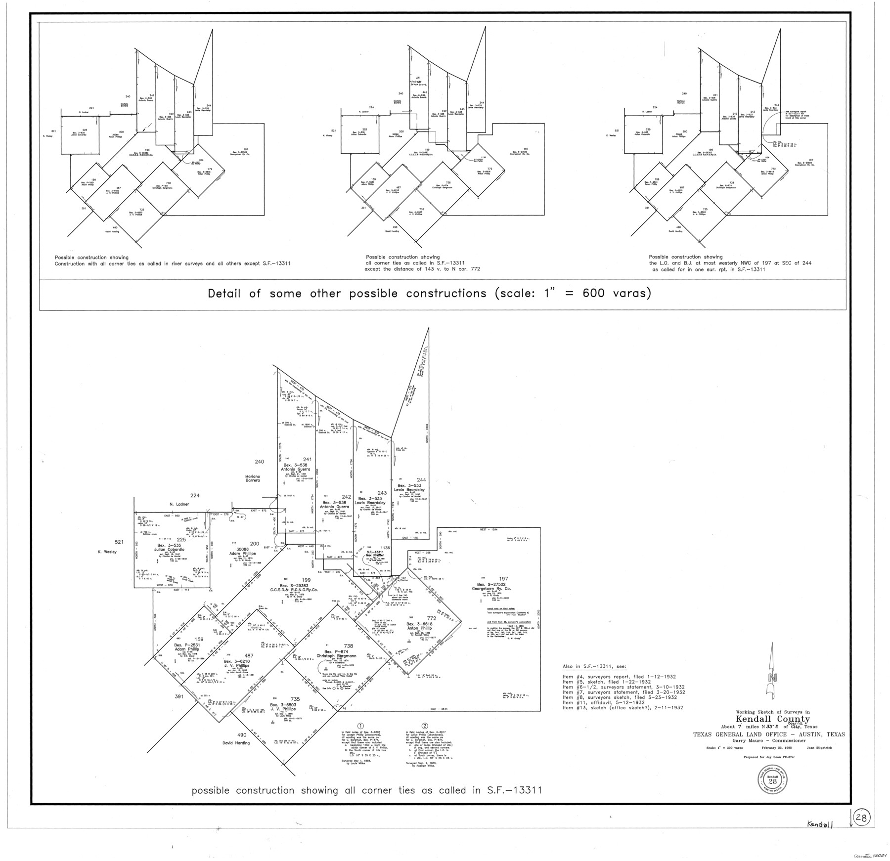
Kendall County Working Sketch 28
-
Map/Doc
70001
-
Collection
General Map Collection
-
Object Dates
2/23/1995 (Creation Date)
-
People and Organizations
Joan Kilpatrick (Draftsman)
-
Counties
Kendall
-
Subjects
Surveying Working Sketch
-
Height x Width
36.0 x 37.2 inches
91.4 x 94.5 cm
-
Scale
1" = 300 varas
Part of: General Map Collection
University Land Loving-Ward-Winkler Counties

Print $20.00
- Digital $50.00
University Land Loving-Ward-Winkler Counties
1931
Size 24.7 x 33.2 inches
Map/Doc 2448
Bell County Working Sketch 17

Print $20.00
- Digital $50.00
Bell County Working Sketch 17
1983
Size 46.8 x 25.0 inches
Map/Doc 67357

Supreme Court of the United States, October Term, 1924, No. 13, Original - The State of Oklahoma, Complainant vs. The State of Texas, Defendant, The United States, Intervener

Print $20.00
- Digital $50.00
Supreme Court of the United States, October Term, 1924, No. 13, Original - The State of Oklahoma, Complainant vs. The State of Texas, Defendant, The United States, Intervener
1924
Size 33.7 x 33.7 inches
Map/Doc 75119
Flight Mission No. CLL-1N, Frame 12, Willacy County

Print $20.00
- Digital $50.00
Flight Mission No. CLL-1N, Frame 12, Willacy County
1954
Size 18.4 x 22.1 inches
Map/Doc 86999
Palo Pinto County

Print $20.00
- Digital $50.00
Palo Pinto County
1856
Size 29.9 x 20.9 inches
Map/Doc 1394
La Salle County Rolled Sketch 25

Print $20.00
- Digital $50.00
La Salle County Rolled Sketch 25
Size 20.3 x 24.4 inches
Map/Doc 6586
Flight Mission No. BRA-7M, Frame 132, Jefferson County

Print $20.00
- Digital $50.00
Flight Mission No. BRA-7M, Frame 132, Jefferson County
1953
Size 18.5 x 19.6 inches
Map/Doc 85526
South Part Crockett County

Print $40.00
- Digital $50.00
South Part Crockett County
1977
Size 39.1 x 51.2 inches
Map/Doc 95471
Upton County Rolled Sketch 59

Print $40.00
- Digital $50.00
Upton County Rolled Sketch 59
1994
Size 36.3 x 49.0 inches
Map/Doc 10638
Karnes County Boundary File 3

Print $26.00
- Digital $50.00
Karnes County Boundary File 3
Size 12.7 x 8.3 inches
Map/Doc 55694
Flight Mission No. DQN-7K, Frame 31, Calhoun County

Print $20.00
- Digital $50.00
Flight Mission No. DQN-7K, Frame 31, Calhoun County
1953
Size 18.5 x 22.1 inches
Map/Doc 84469
You may also like
Terrell County Sketch File 29

Print $6.00
- Digital $50.00
Terrell County Sketch File 29
1940
Size 11.2 x 8.8 inches
Map/Doc 37976
Nueces County Sketch File 86

Print $2.00
- Digital $50.00
Nueces County Sketch File 86
Map/Doc 81935
Erath County Sketch File 2

Print $20.00
- Digital $50.00
Erath County Sketch File 2
Size 13.2 x 15.5 inches
Map/Doc 11463
Duval County Sketch File 8c

Print $4.00
- Digital $50.00
Duval County Sketch File 8c
1875
Size 10.9 x 8.6 inches
Map/Doc 21300
Flight Mission No. BQR-13K, Frame 162, Brazoria County

Print $20.00
- Digital $50.00
Flight Mission No. BQR-13K, Frame 162, Brazoria County
1952
Size 18.6 x 22.4 inches
Map/Doc 84087
Duval County Sketch File 19a

Print $40.00
- Digital $50.00
Duval County Sketch File 19a
1880
Size 12.7 x 14.2 inches
Map/Doc 21318
Map of Prison Properties in Vicinity of Huntsville, Walker County, Texas

Print $20.00
- Digital $50.00
Map of Prison Properties in Vicinity of Huntsville, Walker County, Texas
1933
Size 36.6 x 43.0 inches
Map/Doc 62992

Goliad County Working Sketch 12

Print $20.00
- Digital $50.00
Goliad County Working Sketch 12
1942
Size 42.5 x 44.6 inches
Map/Doc 63202
Brazoria County Working Sketch 21

Print $20.00
- Digital $50.00
Brazoria County Working Sketch 21
1954
Size 41.5 x 41.8 inches
Map/Doc 67506
Flight Mission No. DAG-24K, Frame 128, Matagorda County

Print $20.00
- Digital $50.00
Flight Mission No. DAG-24K, Frame 128, Matagorda County
1953
Size 17.2 x 22.5 inches
Map/Doc 86546
Clay County Sketch File 29

Print $16.00
- Digital $50.00
Clay County Sketch File 29
Size 11.3 x 8.7 inches
Map/Doc 18448