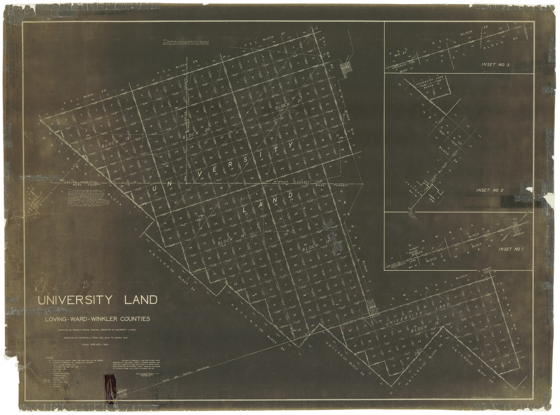
University Land Loving-Ward-Winkler Counties
K-8-108d; K-8-108c; K-8-210a
-
Map/Doc
2448
-
Collection
General Map Collection
-
Object Dates
1931 (Creation Date)
-
People and Organizations
Frank F. Friend (Surveyor/Engineer)
-
Counties
Loving Ward Winkler
-
Subjects
University Land
-
Height x Width
24.7 x 33.2 inches
62.7 x 84.3 cm
Part of: General Map Collection
Upton County Working Sketch 9

Print $20.00
- Digital $50.00
Upton County Working Sketch 9
1926
Size 26.0 x 15.8 inches
Map/Doc 69505
Flight Mission No. BRE-1P, Frame 27, Nueces County

Print $20.00
- Digital $50.00
Flight Mission No. BRE-1P, Frame 27, Nueces County
1956
Size 18.5 x 22.4 inches
Map/Doc 86622
Intracoastal Waterway, Houma, LA to Corpus Christi, TX

Print $5.00
- Digital $50.00
Intracoastal Waterway, Houma, LA to Corpus Christi, TX
Size 22.2 x 29.6 inches
Map/Doc 61913
Culberson County Sketch File 34

Print $8.00
- Digital $50.00
Culberson County Sketch File 34
1958
Size 9.3 x 7.9 inches
Map/Doc 20291
Flight Mission No. CGI-2N, Frame 155, Cameron County

Print $20.00
- Digital $50.00
Flight Mission No. CGI-2N, Frame 155, Cameron County
1954
Size 18.5 x 22.1 inches
Map/Doc 84537
Aransas County Rolled Sketch 25A-25E

Print $20.00
- Digital $50.00
Aransas County Rolled Sketch 25A-25E
Size 24.6 x 39.5 inches
Map/Doc 76078
Lee County Working Sketch 21

Print $40.00
- Digital $50.00
Lee County Working Sketch 21
2009
Size 48.7 x 36.6 inches
Map/Doc 89258
Briscoe County Boundary File 1

Print $90.00
- Digital $50.00
Briscoe County Boundary File 1
Size 8.6 x 6.8 inches
Map/Doc 50758
La Salle County Working Sketch 37

Print $20.00
- Digital $50.00
La Salle County Working Sketch 37
1960
Size 24.4 x 21.7 inches
Map/Doc 70338
Haskell County Sketch File 10

Print $8.00
- Digital $50.00
Haskell County Sketch File 10
Size 13.0 x 8.2 inches
Map/Doc 26136
Grayson County Working Sketch 14

Print $20.00
- Digital $50.00
Grayson County Working Sketch 14
1952
Size 23.9 x 23.3 inches
Map/Doc 63253
Dimmit County Working Sketch 1

Print $20.00
- Digital $50.00
Dimmit County Working Sketch 1
1906
Size 23.6 x 22.7 inches
Map/Doc 68662
You may also like
Right-of-way & Track Map Dawson Railway Operated by the El Paso & Southwestern Company Station 1655+23.4 to Station 1867+09.6

Print $40.00
- Digital $50.00
Right-of-way & Track Map Dawson Railway Operated by the El Paso & Southwestern Company Station 1655+23.4 to Station 1867+09.6
1910
Size 56.7 x 24.6 inches
Map/Doc 89657
Montgomery County Working Sketch 15

Print $40.00
- Digital $50.00
Montgomery County Working Sketch 15
1934
Size 51.8 x 41.6 inches
Map/Doc 71122
Zapata County Working Sketch 16

Print $20.00
- Digital $50.00
Zapata County Working Sketch 16
1969
Size 26.1 x 28.3 inches
Map/Doc 62067
Real County Rolled Sketch 18

Print $20.00
- Digital $50.00
Real County Rolled Sketch 18
Size 22.2 x 28.2 inches
Map/Doc 7461
Hudspeth County Rolled Sketch 78

Print $20.00
- Digital $50.00
Hudspeth County Rolled Sketch 78
2010
Size 18.4 x 24.5 inches
Map/Doc 93290
Randall County Rolled Sketch 4

Print $20.00
- Digital $50.00
Randall County Rolled Sketch 4
1944
Size 21.7 x 39.7 inches
Map/Doc 7424
Uvalde County Working Sketch 44

Print $20.00
- Digital $50.00
Uvalde County Working Sketch 44
1978
Size 27.6 x 32.7 inches
Map/Doc 72114
Brazoria County Sketch File 55

Print $80.00
- Digital $50.00
Brazoria County Sketch File 55
1899
Size 14.9 x 55.0 inches
Map/Doc 10327
Hardeman County Working Sketch 10

Print $20.00
- Digital $50.00
Hardeman County Working Sketch 10
1960
Size 21.9 x 29.9 inches
Map/Doc 63391
Goliad County Rolled Sketch 2

Print $20.00
- Digital $50.00
Goliad County Rolled Sketch 2
1944
Size 33.1 x 34.6 inches
Map/Doc 9010
Flight Mission No. DQN-1K, Frame 30, Calhoun County

Print $20.00
- Digital $50.00
Flight Mission No. DQN-1K, Frame 30, Calhoun County
1953
Size 18.6 x 22.2 inches
Map/Doc 84135
No. 2 Chart of Corpus Christi Pass, Texas

Print $20.00
- Digital $50.00
No. 2 Chart of Corpus Christi Pass, Texas
1878
Size 18.2 x 27.1 inches
Map/Doc 73025