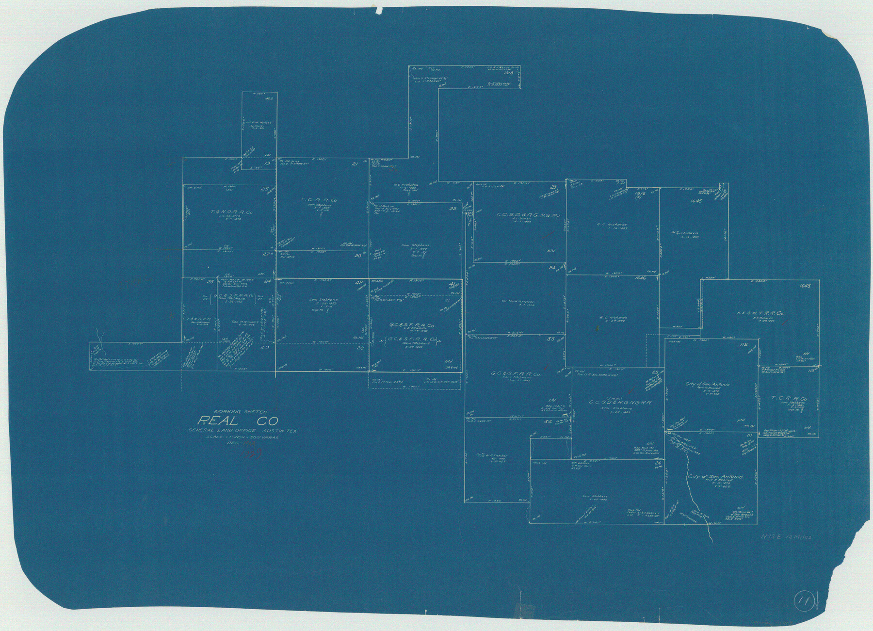
Real County Working Sketch 11
-
Map/Doc
71903
-
Collection
General Map Collection
-
Object Dates
12/1929 (Creation Date)
-
Counties
Real
-
Subjects
Surveying Working Sketch
-
Height x Width
25.8 x 35.6 inches
65.5 x 90.4 cm
-
Scale
1" = 500 varas
Part of: General Map Collection

Coke County Rolled Sketch 4

Print $20.00
- Digital $50.00
Coke County Rolled Sketch 4
Size 44.6 x 37.0 inches
Map/Doc 8624
Kleberg County NRC Article 33.136 Sketch 1

Print $143.00
- Digital $50.00
Kleberg County NRC Article 33.136 Sketch 1
2000
Size 18.5 x 23.6 inches
Map/Doc 6555
Blanco County Sketch File 9

Print $4.00
- Digital $50.00
Blanco County Sketch File 9
Size 6.9 x 13.9 inches
Map/Doc 14586
Freestone County Working Sketch 32

Print $20.00
- Digital $50.00
Freestone County Working Sketch 32
1997
Size 46.5 x 34.0 inches
Map/Doc 69274
McMullen County Sketch File 9

Print $4.00
- Digital $50.00
McMullen County Sketch File 9
1876
Size 14.4 x 8.4 inches
Map/Doc 31351
Flight Mission No. DQO-1K, Frame 114, Galveston County

Print $20.00
- Digital $50.00
Flight Mission No. DQO-1K, Frame 114, Galveston County
1952
Size 18.8 x 22.5 inches
Map/Doc 84992
Fort Bend County Working Sketch 29

Print $20.00
- Digital $50.00
Fort Bend County Working Sketch 29
1983
Size 21.6 x 19.2 inches
Map/Doc 69235
Flight Mission No. BRA-16M, Frame 171, Jefferson County

Print $20.00
- Digital $50.00
Flight Mission No. BRA-16M, Frame 171, Jefferson County
1953
Size 18.6 x 22.3 inches
Map/Doc 85769
Flight Mission No. CGI-1N, Frame 186, Cameron County

Print $20.00
- Digital $50.00
Flight Mission No. CGI-1N, Frame 186, Cameron County
1955
Size 18.5 x 22.1 inches
Map/Doc 84521
Terrell County Working Sketch 19

Print $20.00
- Digital $50.00
Terrell County Working Sketch 19
1932
Size 18.8 x 25.7 inches
Map/Doc 62169
Refugio County Sketch File 25

Print $6.00
- Digital $50.00
Refugio County Sketch File 25
1915
Size 14.5 x 6.4 inches
Map/Doc 35289
You may also like
[Sketch for Mineral Application 26501 - Sabine River, T. A. Oldhausen]
![2835, [Sketch for Mineral Application 26501 - Sabine River, T. A. Oldhausen], General Map Collection](https://historictexasmaps.com/wmedia_w700/maps/2835.tif.jpg)
Print $20.00
- Digital $50.00
[Sketch for Mineral Application 26501 - Sabine River, T. A. Oldhausen]
1931
Size 24.6 x 36.6 inches
Map/Doc 2835
Collingsworth County

Print $20.00
- Digital $50.00
Collingsworth County
1880
Size 24.9 x 20.0 inches
Map/Doc 3420
Flight Mission No. BRA-6M, Frame 148, Jefferson County

Print $20.00
- Digital $50.00
Flight Mission No. BRA-6M, Frame 148, Jefferson County
1953
Size 18.5 x 22.4 inches
Map/Doc 85449
Revised Map of Austin, Texas

Print $20.00
Revised Map of Austin, Texas
1885
Size 16.5 x 14.0 inches
Map/Doc 76272
Wichita County Boundary File 2b

Print $4.00
- Digital $50.00
Wichita County Boundary File 2b
Size 8.9 x 8.8 inches
Map/Doc 59911
Flight Mission No. DQN-3K, Frame 66, Calhoun County

Print $20.00
- Digital $50.00
Flight Mission No. DQN-3K, Frame 66, Calhoun County
1953
Size 18.7 x 22.5 inches
Map/Doc 84357
Burnet County Rolled Sketch 3

Print $20.00
- Digital $50.00
Burnet County Rolled Sketch 3
Size 23.7 x 26.2 inches
Map/Doc 5355
[Sketch for Mineral Application 26649-26650 - Sabine River, Harry A. Wolan]
![65565, [Sketch for Mineral Application 26649-26650 - Sabine River, Harry A. Wolan], General Map Collection](https://historictexasmaps.com/wmedia_w700/maps/65565.tif.jpg)
Print $40.00
- Digital $50.00
[Sketch for Mineral Application 26649-26650 - Sabine River, Harry A. Wolan]
Size 36.8 x 71.9 inches
Map/Doc 65565
Hemphill County Working Sketch 1

Print $20.00
- Digital $50.00
Hemphill County Working Sketch 1
1926
Size 15.1 x 19.7 inches
Map/Doc 66096
Anderson County Working Sketch 47

Print $40.00
- Digital $50.00
Anderson County Working Sketch 47
2012
Size 49.1 x 37.0 inches
Map/Doc 93396
Chambers County Rolled Sketch 24A

Print $40.00
- Digital $50.00
Chambers County Rolled Sketch 24A
1940
Size 36.5 x 49.0 inches
Map/Doc 8595
Pecos County Rolled Sketch 20

Print $20.00
- Digital $50.00
Pecos County Rolled Sketch 20
Size 31.8 x 29.1 inches
Map/Doc 9685