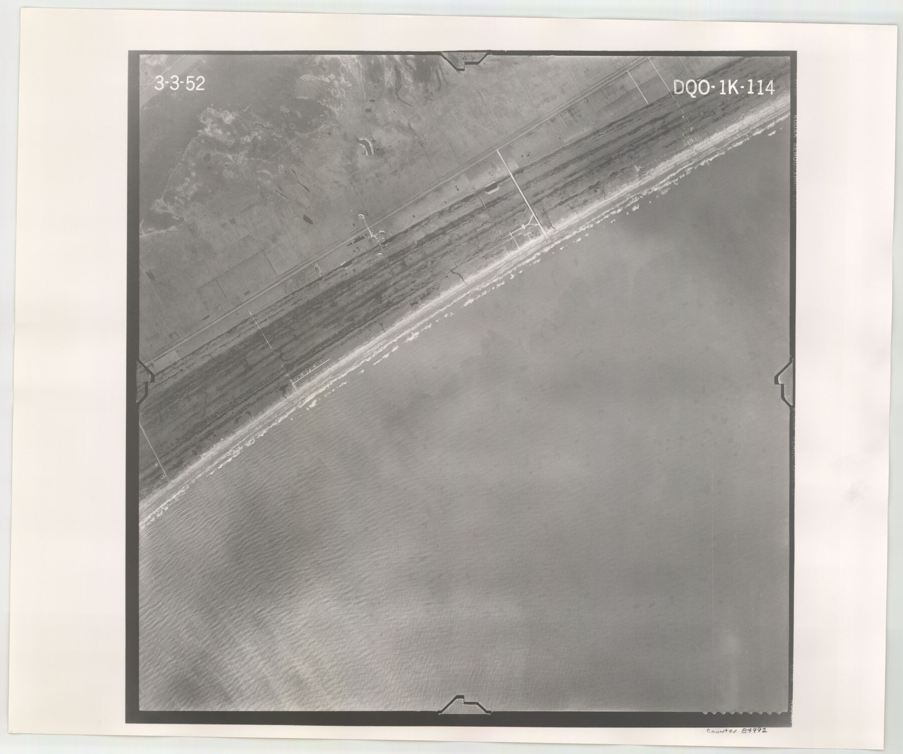
Flight Mission No. DQO-1K, Frame 114, Galveston County
DQO-1K-114
-
Map/Doc
84992
-
Collection
General Map Collection
-
Object Dates
1952/3/3 (Creation Date)
-
People and Organizations
U. S. Department of Agriculture (Publisher)
-
Counties
Galveston
-
Subjects
Aerial Photograph
-
Height x Width
18.8 x 22.5 inches
47.8 x 57.2 cm
-
Comments
Flown by Aero Exploration Company of Tulsa, Oklahoma.
Part of: General Map Collection
Stonewall County Sketch File 28

Print $14.00
- Digital $50.00
Stonewall County Sketch File 28
1970
Size 14.3 x 8.9 inches
Map/Doc 37300
Guadalupe County Sketch File 25

Print $22.00
- Digital $50.00
Guadalupe County Sketch File 25
Size 12.7 x 15.7 inches
Map/Doc 24717
Llano County Sketch File 12

Print $14.00
- Digital $50.00
Llano County Sketch File 12
1889
Size 14.0 x 8.5 inches
Map/Doc 30380
Limestone County Working Sketch 13

Print $20.00
- Digital $50.00
Limestone County Working Sketch 13
1922
Size 11.8 x 11.8 inches
Map/Doc 70563
[Sketch for Mineral Application 27669 - Trinity River, Frank R. Graves]
![65629, [Sketch for Mineral Application 27669 - Trinity River, Frank R. Graves], General Map Collection](https://historictexasmaps.com/wmedia_w700/maps/65629-1.tif.jpg)
Print $40.00
- Digital $50.00
[Sketch for Mineral Application 27669 - Trinity River, Frank R. Graves]
Size 28.0 x 102.2 inches
Map/Doc 65629
Howard County Sketch File 11

Print $40.00
- Digital $50.00
Howard County Sketch File 11
1937
Size 17.6 x 10.2 inches
Map/Doc 26865
Swisher County

Print $20.00
- Digital $50.00
Swisher County
1900
Size 45.5 x 39.0 inches
Map/Doc 63053
Flight Mission No. CRK-8P, Frame 107, Refugio County

Print $20.00
- Digital $50.00
Flight Mission No. CRK-8P, Frame 107, Refugio County
1956
Size 18.4 x 22.0 inches
Map/Doc 86968
Bowie County Working Sketch 24

Print $20.00
- Digital $50.00
Bowie County Working Sketch 24
1974
Size 47.1 x 40.1 inches
Map/Doc 67428
Boundary Between the United States & Mexico Agreed upon by the Joint Commission under the Treaty of Guadalupe Hidalgo

Print $4.00
- Digital $50.00
Boundary Between the United States & Mexico Agreed upon by the Joint Commission under the Treaty of Guadalupe Hidalgo
1853
Size 18.2 x 26.8 inches
Map/Doc 72882
Hutchinson County Sketch File 10

Print $40.00
- Digital $50.00
Hutchinson County Sketch File 10
Size 55.8 x 9.2 inches
Map/Doc 10500
[Right of Way & Track Map, The Texas & Pacific Ry. Co. Main Line]
![64662, [Right of Way & Track Map, The Texas & Pacific Ry. Co. Main Line], General Map Collection](https://historictexasmaps.com/wmedia_w700/maps/64662.tif.jpg)
Print $20.00
- Digital $50.00
[Right of Way & Track Map, The Texas & Pacific Ry. Co. Main Line]
Size 11.0 x 18.5 inches
Map/Doc 64662
You may also like
Flight Mission No. CUG-2P, Frame 10, Kleberg County

Print $20.00
- Digital $50.00
Flight Mission No. CUG-2P, Frame 10, Kleberg County
1956
Size 18.7 x 22.3 inches
Map/Doc 86182
[Letter from T. F. Pinckney to W. D. Twichell accompanying sketch showing Blocks 14, 341, and G5]
![93110, [Letter from T. F. Pinckney to W. D. Twichell accompanying sketch showing Blocks 14, 341, and G5], Twichell Survey Records](https://historictexasmaps.com/wmedia_w700/maps/93110-1.tif.jpg)
Print $2.00
- Digital $50.00
[Letter from T. F. Pinckney to W. D. Twichell accompanying sketch showing Blocks 14, 341, and G5]
1911
Size 8.0 x 9.5 inches
Map/Doc 93110
Right of Way and Track Map, the Missouri, Kansas and Texas Ry. of Texas - Henrietta Division

Print $20.00
- Digital $50.00
Right of Way and Track Map, the Missouri, Kansas and Texas Ry. of Texas - Henrietta Division
1918
Size 11.8 x 26.9 inches
Map/Doc 64748
Duval County Sketch File 23

Print $4.00
- Digital $50.00
Duval County Sketch File 23
Size 8.1 x 7.1 inches
Map/Doc 21326
Dimmit County Rolled Sketch CHM

Print $20.00
- Digital $50.00
Dimmit County Rolled Sketch CHM
1935
Size 38.4 x 43.4 inches
Map/Doc 8795
Pecos County Boundary File 1a

Print $12.00
- Digital $50.00
Pecos County Boundary File 1a
Size 12.6 x 8.3 inches
Map/Doc 57855
Freestone County Working Sketch 18

Print $20.00
- Digital $50.00
Freestone County Working Sketch 18
1980
Size 43.3 x 46.9 inches
Map/Doc 69260
Lampasas County Working Sketch 16

Print $20.00
- Digital $50.00
Lampasas County Working Sketch 16
1977
Size 27.6 x 19.6 inches
Map/Doc 70293
Flight Mission No. BRA-16M, Frame 64, Jefferson County

Print $20.00
- Digital $50.00
Flight Mission No. BRA-16M, Frame 64, Jefferson County
1953
Size 18.8 x 22.3 inches
Map/Doc 85681
Kaufman County Sketch File 10

Print $4.00
- Digital $50.00
Kaufman County Sketch File 10
1873
Size 10.2 x 8.2 inches
Map/Doc 28643
Flight Mission No. DQN-2K, Frame 98, Calhoun County

Print $20.00
- Digital $50.00
Flight Mission No. DQN-2K, Frame 98, Calhoun County
1953
Size 18.7 x 22.4 inches
Map/Doc 84288
Revised Plat of Tahoka Heights Addition Located on the SE 1/4 of Section 568

Print $20.00
- Digital $50.00
Revised Plat of Tahoka Heights Addition Located on the SE 1/4 of Section 568
Size 17.5 x 21.9 inches
Map/Doc 92942