Duval County Sketch File 23
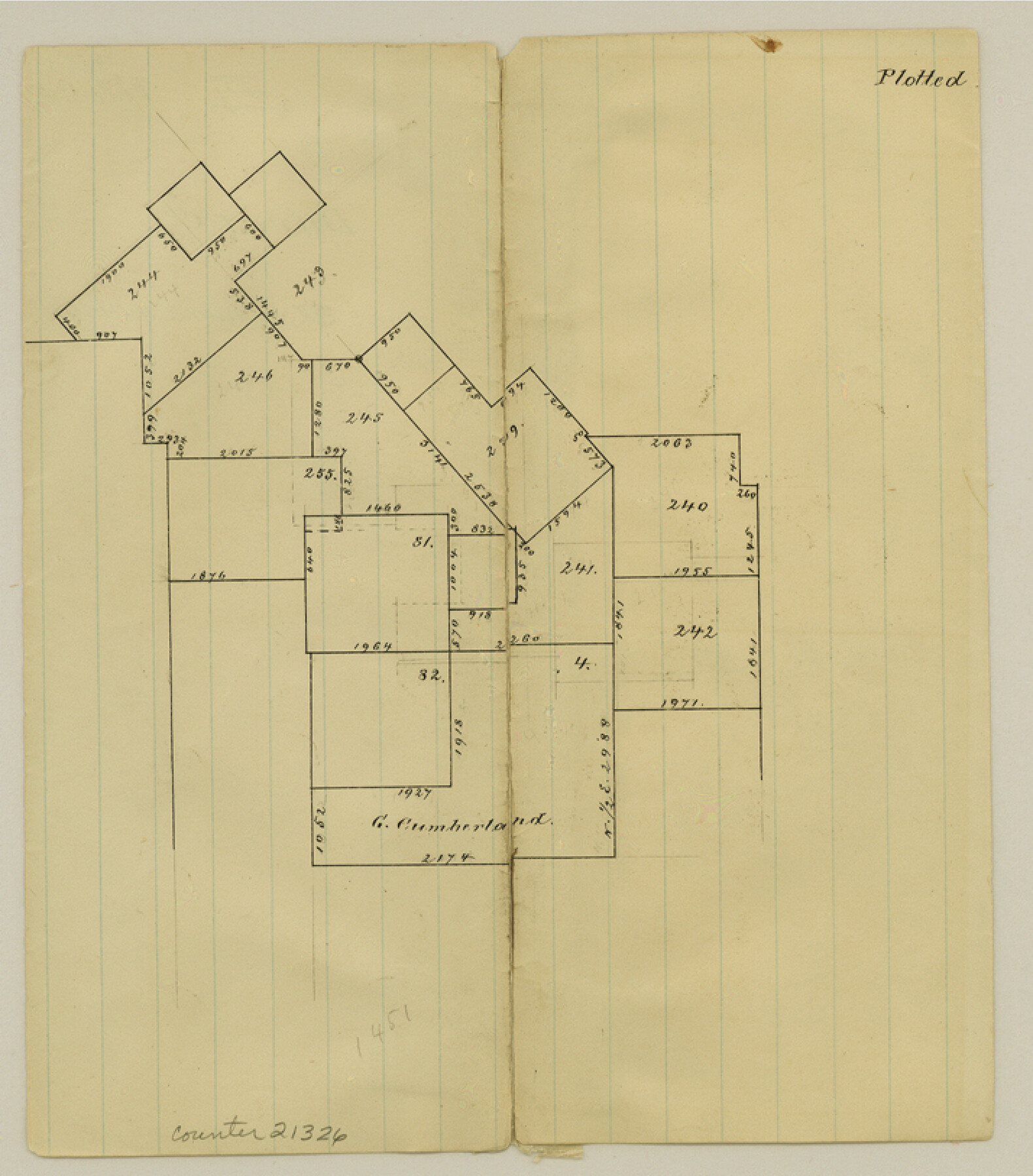
[Office sketch of G. Cumberland survey and area to the north]
-
Map/Doc
21326
-
Collection
General Map Collection
-
Counties
Duval
-
Subjects
Surveying Sketch File
-
Height x Width
8.1 x 7.1 inches
20.6 x 18.0 cm
-
Medium
paper, manuscript
Part of: General Map Collection
Sutton County Sketch File 22

Print $4.00
- Digital $50.00
Sutton County Sketch File 22
Size 14.2 x 8.5 inches
Map/Doc 37459
Val Verde County Working Sketch 56

Print $20.00
- Digital $50.00
Val Verde County Working Sketch 56
1957
Size 41.8 x 32.2 inches
Map/Doc 72191
Flight Mission No. DIX-7P, Frame 91, Aransas County

Print $20.00
- Digital $50.00
Flight Mission No. DIX-7P, Frame 91, Aransas County
1956
Size 18.7 x 22.4 inches
Map/Doc 83885
Flight Mission No. DQN-5K, Frame 147, Calhoun County

Print $20.00
- Digital $50.00
Flight Mission No. DQN-5K, Frame 147, Calhoun County
1953
Size 18.5 x 22.1 inches
Map/Doc 84422
Flight Mission No. CGI-3G, Frame 12, Cameron County

Print $20.00
- Digital $50.00
Flight Mission No. CGI-3G, Frame 12, Cameron County
1950
Size 19.3 x 19.0 inches
Map/Doc 84531
Foard County Sketch File 23

Print $32.00
- Digital $50.00
Foard County Sketch File 23
Size 11.3 x 9.0 inches
Map/Doc 22846
Crockett County Rolled Sketch 39

Print $20.00
- Digital $50.00
Crockett County Rolled Sketch 39
1935
Size 30.3 x 43.0 inches
Map/Doc 8705
Grayson County Rolled Sketch 4

Print $20.00
- Digital $50.00
Grayson County Rolled Sketch 4
1953
Size 26.0 x 27.7 inches
Map/Doc 6031
Bailey County Sketch File 3

Print $22.00
- Digital $50.00
Bailey County Sketch File 3
1901
Size 8.9 x 6.8 inches
Map/Doc 13937
Hunt County Sketch File 31

Print $6.00
- Digital $50.00
Hunt County Sketch File 31
1862
Size 9.8 x 8.0 inches
Map/Doc 27135

Coke County Sketch File 31

Print $4.00
- Digital $50.00
Coke County Sketch File 31
Size 14.1 x 8.8 inches
Map/Doc 18643
You may also like
Gordonville Quadrangle

Print $20.00
- Digital $50.00
Gordonville Quadrangle
1999
Size 35.4 x 23.4 inches
Map/Doc 97362
Right of Way and Track Map Texas & New Orleans R.R. Co. operated by the T. & N. O. R.R. Co. Dallas-Sabine Branch

Print $40.00
- Digital $50.00
Right of Way and Track Map Texas & New Orleans R.R. Co. operated by the T. & N. O. R.R. Co. Dallas-Sabine Branch
1918
Size 26.4 x 56.6 inches
Map/Doc 64152
Victoria County Working Sketch 8

Print $20.00
- Digital $50.00
Victoria County Working Sketch 8
1957
Size 25.9 x 37.8 inches
Map/Doc 72278
Cameron County Rolled Sketch 26

Print $20.00
- Digital $50.00
Cameron County Rolled Sketch 26
Size 18.5 x 24.3 inches
Map/Doc 5390
[Block B, Sections 1-4]
![90984, [Block B, Sections 1-4], Twichell Survey Records](https://historictexasmaps.com/wmedia_w700/maps/90984-1.tif.jpg)
Print $20.00
- Digital $50.00
[Block B, Sections 1-4]
Size 21.8 x 20.5 inches
Map/Doc 90984
Midland County Sketch File 2

Print $20.00
- Digital $50.00
Midland County Sketch File 2
1886
Size 16.3 x 17.6 inches
Map/Doc 12080
[F. W. & D. C. Ry. Co. Alignment and Right of Way Map, Clay County]
![64742, [F. W. & D. C. Ry. Co. Alignment and Right of Way Map, Clay County], General Map Collection](https://historictexasmaps.com/wmedia_w700/maps/64742-GC.tif.jpg)
Print $20.00
- Digital $50.00
[F. W. & D. C. Ry. Co. Alignment and Right of Way Map, Clay County]
1927
Size 18.8 x 11.8 inches
Map/Doc 64742
Flight Mission No. CRC-2R, Frame 63, Chambers County

Print $20.00
- Digital $50.00
Flight Mission No. CRC-2R, Frame 63, Chambers County
1956
Size 18.8 x 22.4 inches
Map/Doc 84734
Dimmit County Rolled Sketch 9

Print $20.00
- Digital $50.00
Dimmit County Rolled Sketch 9
1941
Size 37.8 x 39.3 inches
Map/Doc 8796
The Industrial Evolution of the agricultural wonderland of the southwest

Print $20.00
- Digital $50.00
The Industrial Evolution of the agricultural wonderland of the southwest
1927
Size 13.7 x 16.7 inches
Map/Doc 96760
Aransas County Sketch File 14

Print $36.00
- Digital $50.00
Aransas County Sketch File 14
1891
Size 14.0 x 8.5 inches
Map/Doc 13128
Galveston County NRC Article 33.136 Sketch 12

Print $28.00
- Digital $50.00
Galveston County NRC Article 33.136 Sketch 12
2002
Size 22.5 x 33.8 inches
Map/Doc 66899