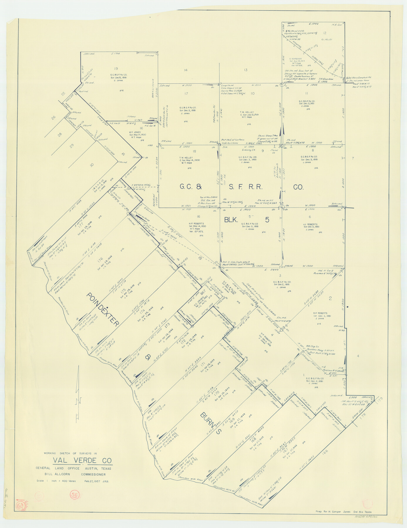
Val Verde County Working Sketch 56
-
Map/Doc
72191
-
Collection
General Map Collection
-
Object Dates
2/27/1957 (Creation Date)
-
Counties
Val Verde
-
Subjects
Surveying Working Sketch
-
Height x Width
41.8 x 32.2 inches
106.2 x 81.8 cm
-
Scale
1" = 400 varas
Part of: General Map Collection
Randall County Sketch File 8

Print $20.00
- Digital $50.00
Randall County Sketch File 8
Size 18.1 x 23.1 inches
Map/Doc 12209
Montgomery County Sketch File 34

Print $8.00
- Digital $50.00
Montgomery County Sketch File 34
1949
Size 14.4 x 8.7 inches
Map/Doc 31904
Newton County Working Sketch 16

Print $20.00
- Digital $50.00
Newton County Working Sketch 16
1950
Size 15.8 x 15.5 inches
Map/Doc 71262
Orange County Working Sketch 13

Print $20.00
- Digital $50.00
Orange County Working Sketch 13
1922
Size 12.9 x 15.5 inches
Map/Doc 71345

Armstrong County Sketch File A-10

Print $40.00
- Digital $50.00
Armstrong County Sketch File A-10
Size 22.6 x 35.6 inches
Map/Doc 10852
Coryell County Sketch File 14

Print $6.00
- Digital $50.00
Coryell County Sketch File 14
1873
Size 5.0 x 7.6 inches
Map/Doc 19368
Lipscomb County Boundary File 14a

Print $4.00
- Digital $50.00
Lipscomb County Boundary File 14a
Size 11.3 x 8.7 inches
Map/Doc 56368
Northeast Part of Webb County

Print $40.00
- Digital $50.00
Northeast Part of Webb County
1986
Size 38.0 x 49.2 inches
Map/Doc 73318
Webb County Sketch File 1-1

Print $4.00
- Digital $50.00
Webb County Sketch File 1-1
1857
Size 8.6 x 8.4 inches
Map/Doc 39708
Zavala County Working Sketch 7

Print $20.00
- Digital $50.00
Zavala County Working Sketch 7
1948
Size 19.3 x 17.3 inches
Map/Doc 62082
Flight Mission No. BRA-17M, Frame 13, Jefferson County

Print $20.00
- Digital $50.00
Flight Mission No. BRA-17M, Frame 13, Jefferson County
1953
Size 18.6 x 22.3 inches
Map/Doc 85794
You may also like
Knox County Rolled Sketch 9

Print $20.00
- Digital $50.00
Knox County Rolled Sketch 9
Size 26.1 x 33.0 inches
Map/Doc 9407
Marion County Rolled Sketch S

Print $20.00
- Digital $50.00
Marion County Rolled Sketch S
1937
Size 18.8 x 18.1 inches
Map/Doc 6663
Brown County Sketch File 31

Print $6.00
- Digital $50.00
Brown County Sketch File 31
Size 17.0 x 11.0 inches
Map/Doc 16643
Burnet County Rolled Sketch D1

Print $20.00
- Digital $50.00
Burnet County Rolled Sketch D1
1924
Size 22.2 x 18.5 inches
Map/Doc 5358
General Highway Map, King County, Texas

Print $20.00
General Highway Map, King County, Texas
1961
Size 18.2 x 24.6 inches
Map/Doc 79555
Jasper County Working Sketch 29

Print $20.00
- Digital $50.00
Jasper County Working Sketch 29
1956
Size 20.6 x 31.4 inches
Map/Doc 66491
Rusk County Working Sketch 37b

Print $40.00
- Digital $50.00
Rusk County Working Sketch 37b
2007
Size 50.0 x 31.0 inches
Map/Doc 87497
Reagan County Rolled Sketch 29A

Print $20.00
- Digital $50.00
Reagan County Rolled Sketch 29A
1954
Size 36.4 x 36.3 inches
Map/Doc 9825
Flight Mission No. CGI-4N, Frame 173, Cameron County

Print $20.00
- Digital $50.00
Flight Mission No. CGI-4N, Frame 173, Cameron County
1955
Size 18.6 x 22.3 inches
Map/Doc 84676
Tom Green County Rolled Sketch 10

Print $20.00
- Digital $50.00
Tom Green County Rolled Sketch 10
1949
Size 26.4 x 32.5 inches
Map/Doc 7997
Aransas County Boundary File 5a

Print $14.00
- Digital $50.00
Aransas County Boundary File 5a
Size 11.3 x 8.7 inches
Map/Doc 49796
Baylor County Sketch File 12g

Print $50.00
- Digital $50.00
Baylor County Sketch File 12g
Size 11.4 x 8.9 inches
Map/Doc 14170