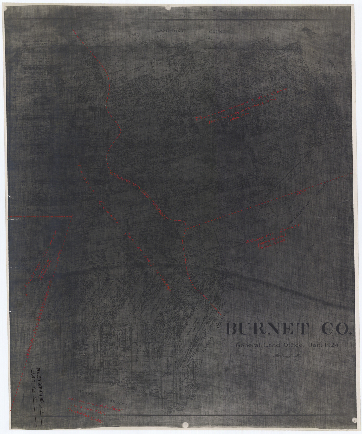
Burnet County Rolled Sketch D1
Burnet Co.
-
Map/Doc
5358
-
Collection
General Map Collection
-
Object Dates
1924 (Creation Date)
-
People and Organizations
H.F. McDonald (Draftsman)
-
Counties
Burnet
-
Subjects
County Surveying Rolled Sketch
-
Height x Width
22.2 x 18.5 inches
56.4 x 47.0 cm
-
Medium
photostat
-
Scale
1" = 2000 varas
Part of: General Map Collection
Polk County Sketch File 25

Print $46.00
- Digital $50.00
Polk County Sketch File 25
Size 5.7 x 28.2 inches
Map/Doc 34176
Leon County Rolled Sketch 3

Print $20.00
- Digital $50.00
Leon County Rolled Sketch 3
Size 16.8 x 22.5 inches
Map/Doc 6595
Jim Wells County Boundary File 1a

Print $80.00
- Digital $50.00
Jim Wells County Boundary File 1a
Size 60.8 x 13.5 inches
Map/Doc 55542
Montgomery County Working Sketch 72

Print $20.00
- Digital $50.00
Montgomery County Working Sketch 72
1979
Size 17.2 x 32.4 inches
Map/Doc 71179
Flight Mission No. CRE-1R, Frame 135, Jackson County

Print $20.00
- Digital $50.00
Flight Mission No. CRE-1R, Frame 135, Jackson County
1956
Size 16.2 x 15.8 inches
Map/Doc 85343
Map of the United States

Print $20.00
- Digital $50.00
Map of the United States
1851
Size 24.7 x 26.0 inches
Map/Doc 96632
Map of Columbia and Wharton Division, HT&BRRCo., Texas

Print $20.00
- Digital $50.00
Map of Columbia and Wharton Division, HT&BRRCo., Texas
1860
Size 33.5 x 23.9 inches
Map/Doc 64415
Map of Terry County

Print $20.00
- Digital $50.00
Map of Terry County
1893
Size 27.4 x 23.3 inches
Map/Doc 4076
Harrison County Working Sketch 2

Print $20.00
- Digital $50.00
Harrison County Working Sketch 2
1940
Size 40.3 x 36.0 inches
Map/Doc 66022
Hamilton County Working Sketch 13

Print $40.00
- Digital $50.00
Hamilton County Working Sketch 13
1949
Size 43.5 x 57.0 inches
Map/Doc 63351
Jeff Davis County Working Sketch 11

Print $20.00
- Digital $50.00
Jeff Davis County Working Sketch 11
1947
Size 23.3 x 43.1 inches
Map/Doc 66506
Frio County Working Sketch 14

Print $20.00
- Digital $50.00
Frio County Working Sketch 14
1955
Size 23.7 x 22.9 inches
Map/Doc 69288
You may also like
Crockett County Sketch File 99

Print $14.00
- Digital $50.00
Crockett County Sketch File 99
1925
Size 14.4 x 9.4 inches
Map/Doc 19980
Taylor County Boundary File 1

Print $44.00
- Digital $50.00
Taylor County Boundary File 1
Size 8.4 x 8.2 inches
Map/Doc 59184
San Jacinto County Working Sketch 38

Print $40.00
- Digital $50.00
San Jacinto County Working Sketch 38
1966
Size 41.5 x 55.9 inches
Map/Doc 63751
[Sketch for Mineral Application 16696-16697, Pecos River]
![65612, [Sketch for Mineral Application 16696-16697, Pecos River], General Map Collection](https://historictexasmaps.com/wmedia_w700/maps/65612-1.tif.jpg)
Print $40.00
- Digital $50.00
[Sketch for Mineral Application 16696-16697, Pecos River]
Size 37.4 x 74.9 inches
Map/Doc 65612
[North part of G. C. & S. F. Block OP, Runnels County School Land and Blks. AB, CD and GH]
![90310, [North part of G. C. & S. F. Block OP, Runnels County School Land and Blks. AB, CD and GH], Twichell Survey Records](https://historictexasmaps.com/wmedia_w700/maps/90310-1.tif.jpg)
Print $20.00
- Digital $50.00
[North part of G. C. & S. F. Block OP, Runnels County School Land and Blks. AB, CD and GH]
Size 17.5 x 22.4 inches
Map/Doc 90310
Kinney County Sketch File 33

Print $20.00
- Digital $50.00
Kinney County Sketch File 33
1939
Size 18.1 x 22.8 inches
Map/Doc 11948

Flight Mission No. BQY-15M, Frame 9, Harris County

Print $20.00
- Digital $50.00
Flight Mission No. BQY-15M, Frame 9, Harris County
1953
Size 18.6 x 22.2 inches
Map/Doc 85307
Polk County Working Sketch 32

Print $20.00
- Digital $50.00
Polk County Working Sketch 32
1960
Size 28.8 x 37.3 inches
Map/Doc 71648
Bosque County Working Sketch 8

Print $20.00
- Digital $50.00
Bosque County Working Sketch 8
1942
Size 23.1 x 33.4 inches
Map/Doc 67441
Crane County Working Sketch 19

Print $20.00
- Digital $50.00
Crane County Working Sketch 19
1958
Size 28.6 x 38.8 inches
Map/Doc 68296
Map of Jasper County

Print $20.00
- Digital $50.00
Map of Jasper County
1839
Size 40.2 x 28.8 inches
Map/Doc 78407