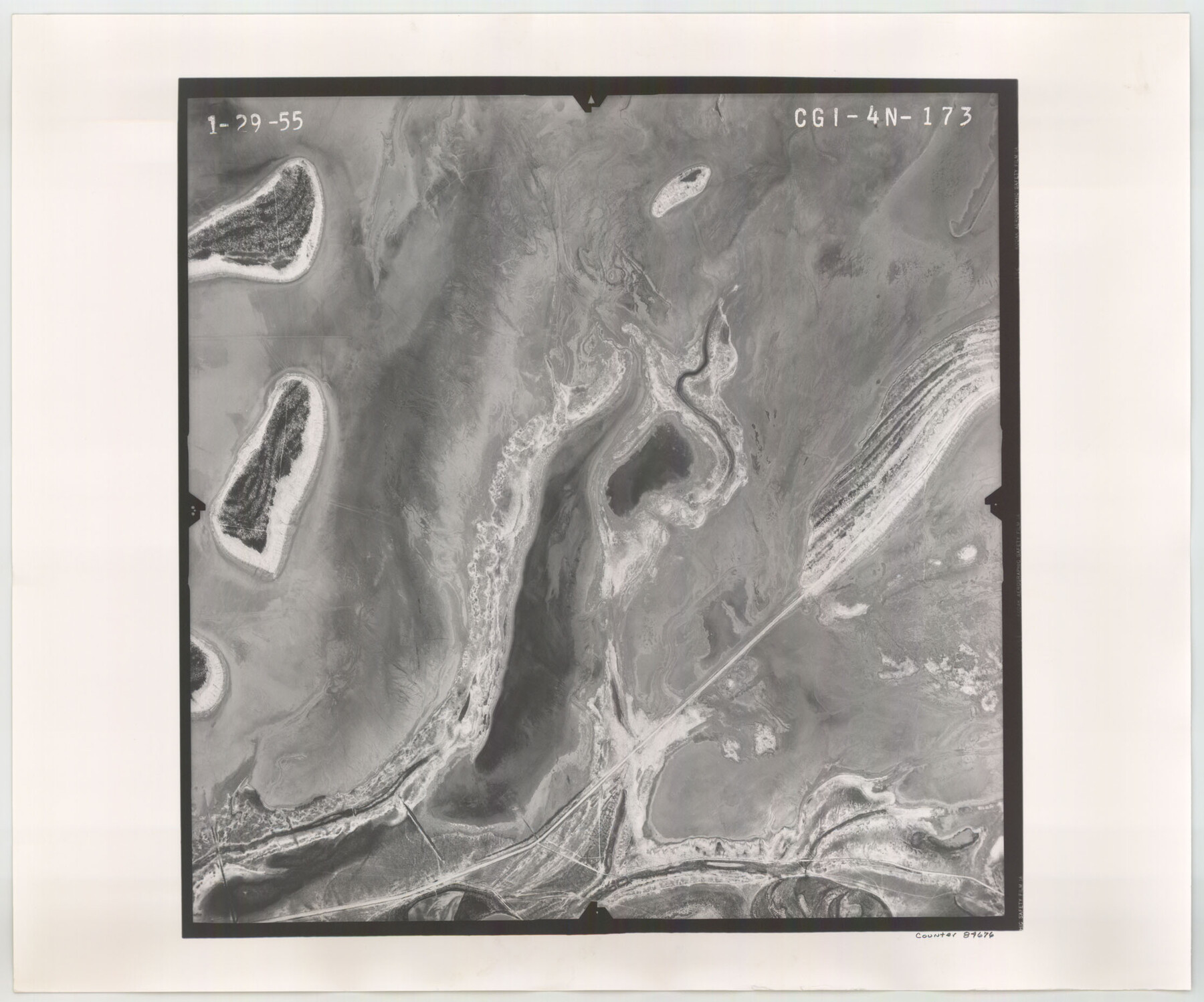
Flight Mission No. CGI-4N, Frame 173, Cameron County
CGI-4N-173
-
Map/Doc
84676
-
Collection
General Map Collection
-
Object Dates
1955/1/29 (Creation Date)
-
People and Organizations
U. S. Department of Agriculture (Publisher)
-
Counties
Cameron
-
Subjects
Aerial Photograph
-
Height x Width
18.6 x 22.3 inches
47.2 x 56.6 cm
-
Comments
Flown by Puckett Aerial Surveys, Inc. of Jackson, Mississippi.
Part of: General Map Collection

Oldham County Rolled Sketch 2

Print $40.00
- Digital $50.00
Oldham County Rolled Sketch 2
1886
Size 35.7 x 55.1 inches
Map/Doc 9639
Leon County Sketch File 37

Print $90.00
- Digital $50.00
Leon County Sketch File 37
1965
Size 11.2 x 8.8 inches
Map/Doc 29853
Shelby County Sketch File 12

Print $4.00
- Digital $50.00
Shelby County Sketch File 12
Size 8.2 x 10.3 inches
Map/Doc 36619
Calhoun County NRC Article 33.136 Sketch 6

Print $24.00
- Digital $50.00
Calhoun County NRC Article 33.136 Sketch 6
2014
Size 18.0 x 24.0 inches
Map/Doc 94462
Pecos County Rolled Sketch 64

Print $20.00
- Digital $50.00
Pecos County Rolled Sketch 64
Size 16.4 x 26.5 inches
Map/Doc 7235
Medina County Rolled Sketch 3

Print $40.00
- Digital $50.00
Medina County Rolled Sketch 3
Size 40.9 x 54.5 inches
Map/Doc 9504
Randall County Rolled Sketch 2

Print $20.00
- Digital $50.00
Randall County Rolled Sketch 2
1941
Size 31.9 x 23.9 inches
Map/Doc 7422
Map of Harrison County

Print $20.00
- Digital $50.00
Map of Harrison County
1871
Size 18.0 x 19.1 inches
Map/Doc 1117
Kinney County Working Sketch 45

Print $20.00
- Digital $50.00
Kinney County Working Sketch 45
1978
Size 28.6 x 26.5 inches
Map/Doc 70227
Right of Way and Track Map, the Missouri, Kansas and Texas Ry. of Texas - Henrietta Division

Print $20.00
- Digital $50.00
Right of Way and Track Map, the Missouri, Kansas and Texas Ry. of Texas - Henrietta Division
1918
Size 11.8 x 26.8 inches
Map/Doc 64755
Motley County Sketch File E (S)

Print $52.00
- Digital $50.00
Motley County Sketch File E (S)
Size 14.6 x 9.0 inches
Map/Doc 32169
You may also like
Jefferson County Working Sketch 14

Print $20.00
- Digital $50.00
Jefferson County Working Sketch 14
1948
Size 30.3 x 25.8 inches
Map/Doc 66557
Val Verde County Working Sketch 69

Print $20.00
- Digital $50.00
Val Verde County Working Sketch 69
1965
Size 35.6 x 37.3 inches
Map/Doc 72204
Outer Continental Shelf Leasing Maps (Texas Offshore Operations)

Print $20.00
- Digital $50.00
Outer Continental Shelf Leasing Maps (Texas Offshore Operations)
Size 17.7 x 14.1 inches
Map/Doc 75855
Starr County Rolled Sketch 32

Print $20.00
- Digital $50.00
Starr County Rolled Sketch 32
1942
Size 23.6 x 23.6 inches
Map/Doc 7829
Pecos County Texas

Print $20.00
- Digital $50.00
Pecos County Texas
Size 23.6 x 19.3 inches
Map/Doc 3950
Hutchinson County Rolled Sketch 31

Print $75.00
- Digital $50.00
Hutchinson County Rolled Sketch 31
1908
Size 19.3 x 15.8 inches
Map/Doc 6292
Orange County Working Sketch 16

Print $20.00
- Digital $50.00
Orange County Working Sketch 16
1929
Size 25.0 x 24.2 inches
Map/Doc 71348
Live Oak County Working Sketch 33

Print $20.00
- Digital $50.00
Live Oak County Working Sketch 33
1992
Size 25.9 x 35.1 inches
Map/Doc 70618
Denton County Working Sketch 6

Print $20.00
- Digital $50.00
Denton County Working Sketch 6
1958
Size 21.3 x 33.0 inches
Map/Doc 68611

Edwards County Working Sketch 77

Print $20.00
- Digital $50.00
Edwards County Working Sketch 77
1960
Size 32.8 x 39.9 inches
Map/Doc 68953
[Surveys in Guadalupe and Wilson Counties]
![59, [Surveys in Guadalupe and Wilson Counties], General Map Collection](https://historictexasmaps.com/wmedia_w700/maps/59.tif.jpg)
Print $2.00
- Digital $50.00
[Surveys in Guadalupe and Wilson Counties]
Size 6.0 x 12.2 inches
Map/Doc 59