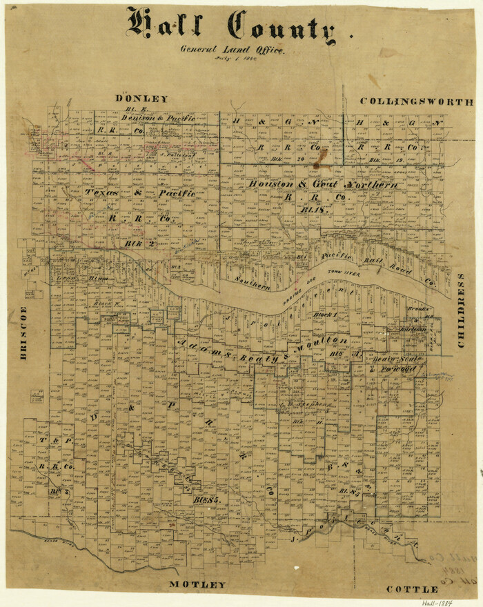
[Surveys in Guadalupe and Wilson Counties]
Atlas G, Page 1, Sketch 1 (G-1-1)
G-1-1
-
Map/Doc
59
-
Collection
General Map Collection
-
Counties
Guadalupe Wilson
-
Subjects
Atlas
-
Height x Width
6.0 x 12.2 inches
15.2 x 31.0 cm
-
Medium
paper, manuscript
-
Comments
Conserved in 2004.
-
Features
Cibolo Creek
Part of: General Map Collection
Polk County Working Sketch 1
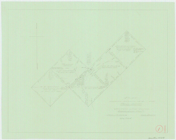

Print $20.00
- Digital $50.00
Polk County Working Sketch 1
Size 13.1 x 16.4 inches
Map/Doc 71616
Lamar County Working Sketch 6


Print $20.00
- Digital $50.00
Lamar County Working Sketch 6
1964
Size 37.7 x 26.1 inches
Map/Doc 70267
Flight Mission No. DCL-5C, Frame 30, Kenedy County
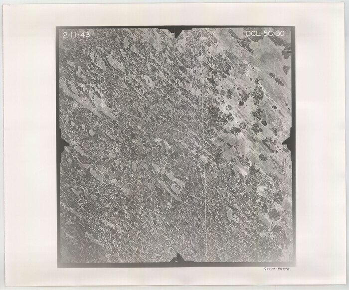

Print $20.00
- Digital $50.00
Flight Mission No. DCL-5C, Frame 30, Kenedy County
1943
Size 18.6 x 22.3 inches
Map/Doc 85842
Map of Nacogdoches County
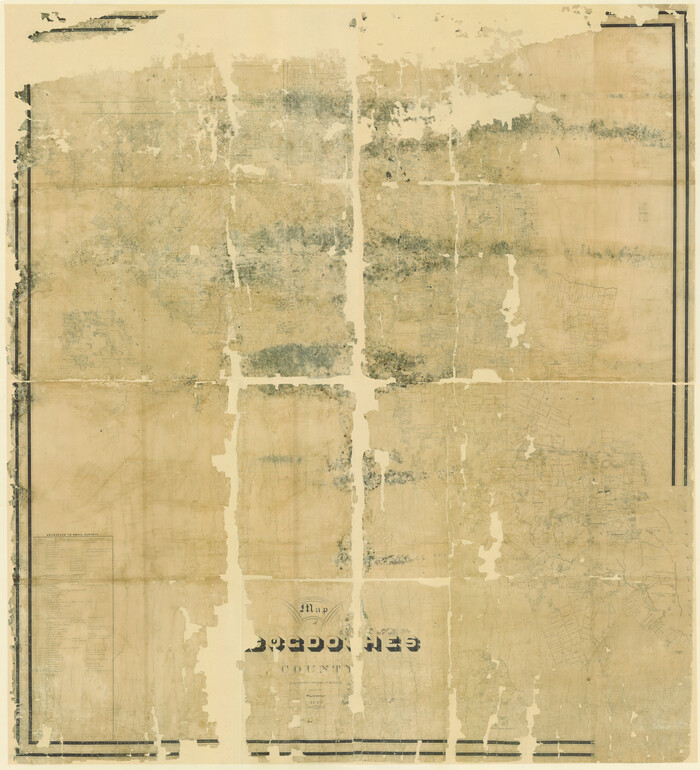

Print $40.00
- Digital $50.00
Map of Nacogdoches County
1846
Size 83.7 x 76.1 inches
Map/Doc 82243
Flight Mission No. DAH-17M, Frame 23, Orange County
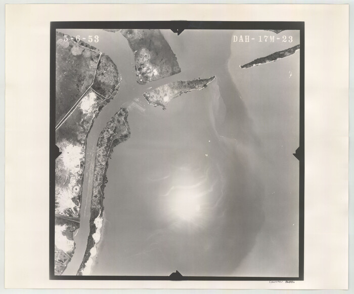

Print $20.00
- Digital $50.00
Flight Mission No. DAH-17M, Frame 23, Orange County
1953
Size 18.7 x 22.5 inches
Map/Doc 86886
Leon County Working Sketch 24


Print $20.00
- Digital $50.00
Leon County Working Sketch 24
1967
Size 23.3 x 29.0 inches
Map/Doc 70423
Webb County Working Sketch 43
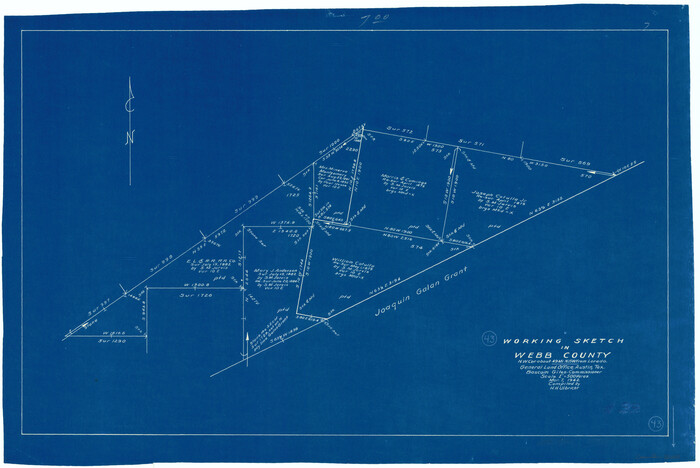

Print $20.00
- Digital $50.00
Webb County Working Sketch 43
1942
Size 18.4 x 27.5 inches
Map/Doc 72408
Plot of surveys on Sims Bayou
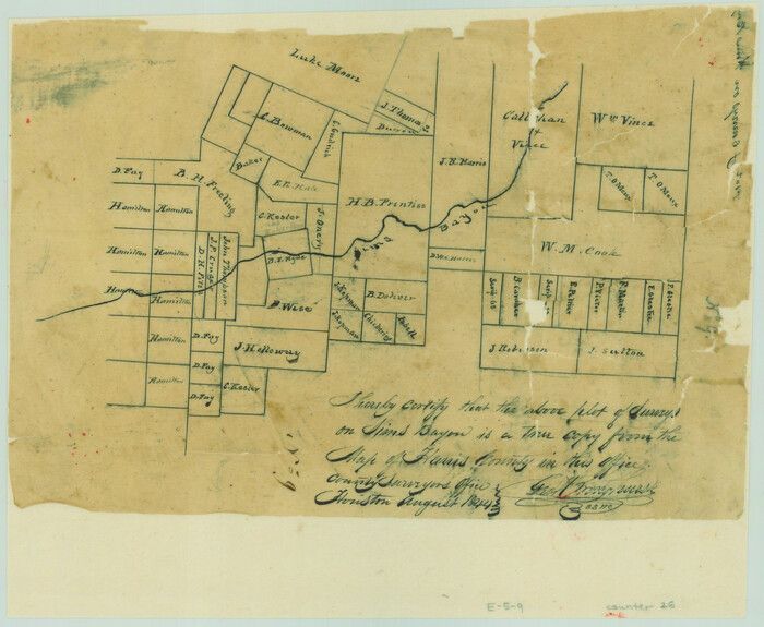

Print $2.00
- Digital $50.00
Plot of surveys on Sims Bayou
1844
Size 6.8 x 8.3 inches
Map/Doc 26
Presidio County Working Sketch 43


Print $40.00
- Digital $50.00
Presidio County Working Sketch 43
1949
Size 29.0 x 54.9 inches
Map/Doc 71720
You may also like
Right of Way and Track Map, International & Gt. Northern Ry. Operated by the International & Gt. Northern Ry. Co., Gulf Division
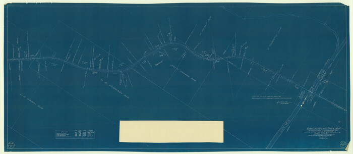

Print $40.00
- Digital $50.00
Right of Way and Track Map, International & Gt. Northern Ry. Operated by the International & Gt. Northern Ry. Co., Gulf Division
1917
Size 24.8 x 57.0 inches
Map/Doc 64245
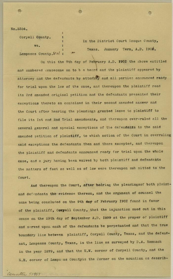
Coryell County Boundary File 3

Print $14.00
- Digital $50.00
Coryell County Boundary File 3
Size 13.2 x 8.2 inches
Map/Doc 51907
Traveller's Map of the State of Texas


Print $20.00
- Digital $50.00
Traveller's Map of the State of Texas
1867
Size 40.6 x 38.2 inches
Map/Doc 4327
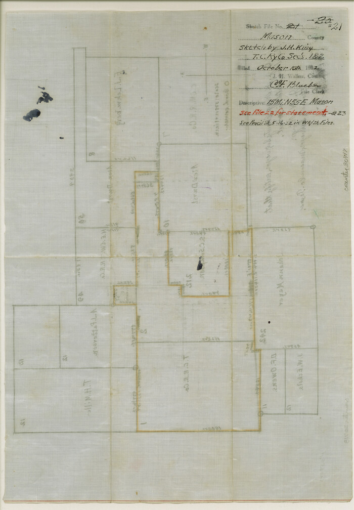
Mason County Sketch File 21

Print $6.00
- Digital $50.00
Mason County Sketch File 21
Size 15.7 x 10.9 inches
Map/Doc 30717
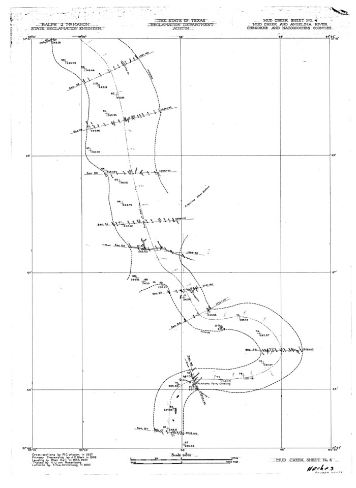
Angelina River, Mud Creek, Sheet 4

Print $4.00
- Digital $50.00
Angelina River, Mud Creek, Sheet 4
1937
Size 25.4 x 18.5 inches
Map/Doc 65078
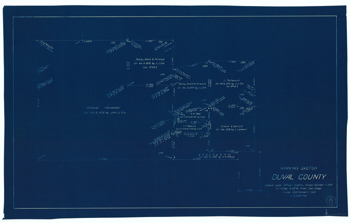
Duval County Working Sketch 8

Print $20.00
- Digital $50.00
Duval County Working Sketch 8
1935
Size 18.6 x 29.2 inches
Map/Doc 68721
Reagan County Working Sketch 29


Print $40.00
- Digital $50.00
Reagan County Working Sketch 29
1963
Size 34.3 x 66.4 inches
Map/Doc 71871
Reeves County Rolled Sketch 32

Print $634.00
- Digital $50.00
Reeves County Rolled Sketch 32
1960
Size 10.2 x 15.4 inches
Map/Doc 48849
Padre Island National Seashore, Texas - Dependent Resurvey
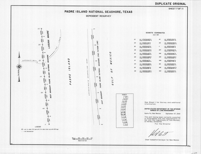

Print $4.00
- Digital $50.00
Padre Island National Seashore, Texas - Dependent Resurvey
2001
Size 18.4 x 24.0 inches
Map/Doc 60549
Blanco County Working Sketch 25
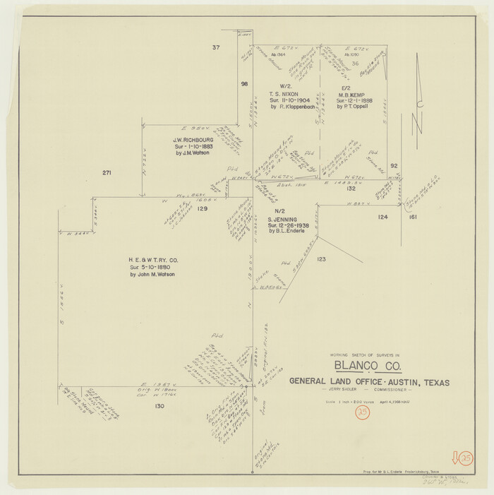

Print $20.00
- Digital $50.00
Blanco County Working Sketch 25
1966
Size 24.8 x 24.8 inches
Map/Doc 67385
Flight Mission No. DAG-17K, Frame 127, Matagorda County
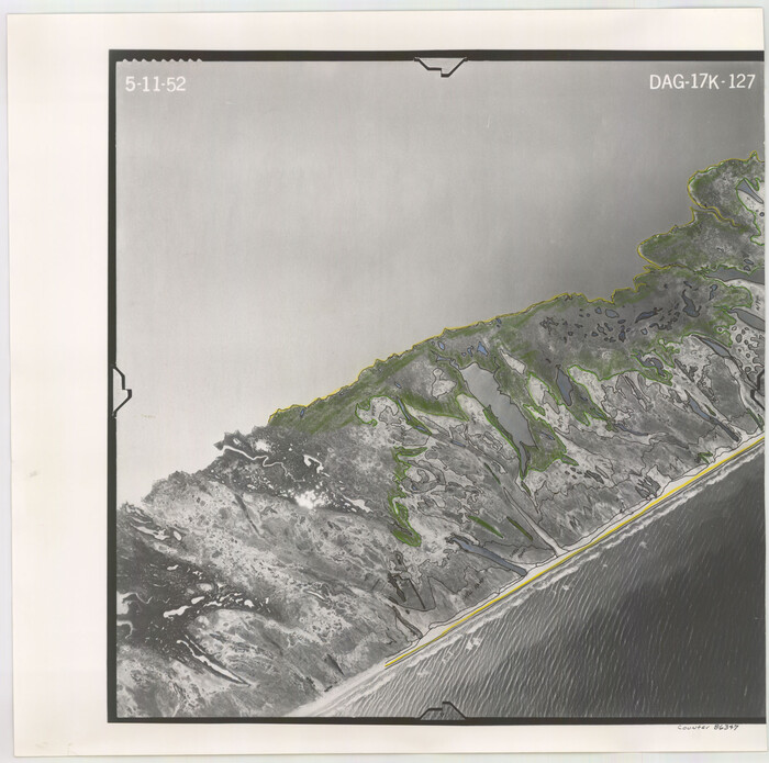

Print $20.00
- Digital $50.00
Flight Mission No. DAG-17K, Frame 127, Matagorda County
1952
Size 18.6 x 18.7 inches
Map/Doc 86347
[E. L. & R. R. Block E, Showing Mound Lake]
![91335, [E. L. & R. R. Block E, Showing Mound Lake], Twichell Survey Records](https://historictexasmaps.com/wmedia_w700/maps/91335-1.tif.jpg)
![91335, [E. L. & R. R. Block E, Showing Mound Lake], Twichell Survey Records](https://historictexasmaps.com/wmedia_w700/maps/91335-1.tif.jpg)
Print $2.00
- Digital $50.00
[E. L. & R. R. Block E, Showing Mound Lake]
Size 14.8 x 6.3 inches
Map/Doc 91335
![59, [Surveys in Guadalupe and Wilson Counties], General Map Collection](https://historictexasmaps.com/wmedia_w1800h1800/maps/59.tif.jpg)

