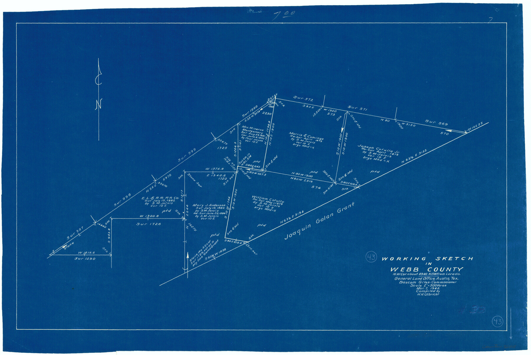
Webb County Working Sketch 43
-
Map/Doc
72408
-
Collection
General Map Collection
-
Object Dates
3/7/1942 (Creation Date)
-
People and Organizations
Herbert H. Ulbricht (Draftsman)
-
Counties
Webb
-
Subjects
Surveying Working Sketch
-
Height x Width
18.4 x 27.5 inches
46.7 x 69.9 cm
-
Scale
1" = 500 varas
Part of: General Map Collection
Refugio County Boundary File 6

Print $10.00
- Digital $50.00
Refugio County Boundary File 6
Size 14.3 x 8.8 inches
Map/Doc 58257
Mason County Working Sketch Graphic Index

Print $20.00
- Digital $50.00
Mason County Working Sketch Graphic Index
1980
Size 46.4 x 35.7 inches
Map/Doc 76632
[Surveys between Big Keechi Creek and the Trinity River]
![69753, [Surveys between Big Keechi Creek and the Trinity River], General Map Collection](https://historictexasmaps.com/wmedia_w700/maps/69753.tif.jpg)
Print $2.00
- Digital $50.00
[Surveys between Big Keechi Creek and the Trinity River]
Size 10.1 x 7.3 inches
Map/Doc 69753
Cottle County Working Sketch 17

Print $20.00
- Digital $50.00
Cottle County Working Sketch 17
1975
Size 32.5 x 34.1 inches
Map/Doc 68327
Fisher County Sketch File 17

Print $6.00
- Digital $50.00
Fisher County Sketch File 17
Size 11.0 x 12.5 inches
Map/Doc 22587
McMullen County

Print $20.00
- Digital $50.00
McMullen County
1967
Size 40.7 x 27.8 inches
Map/Doc 77363
Val Verde County Sketch File Z20

Print $20.00
- Digital $50.00
Val Verde County Sketch File Z20
1913
Size 11.5 x 9.0 inches
Map/Doc 39153
Grimes County Working Sketch 1

Print $20.00
- Digital $50.00
Grimes County Working Sketch 1
1920
Size 33.1 x 30.7 inches
Map/Doc 63292
Wichita County Sketch File 17

Print $20.00
- Digital $50.00
Wichita County Sketch File 17
1889
Size 29.7 x 22.4 inches
Map/Doc 12680
Grayson County Working Sketch 9

Print $20.00
- Digital $50.00
Grayson County Working Sketch 9
1946
Size 44.8 x 31.7 inches
Map/Doc 63248
Flight Mission No. CGI-1N, Frame 182, Cameron County

Print $20.00
- Digital $50.00
Flight Mission No. CGI-1N, Frame 182, Cameron County
1955
Size 18.6 x 22.3 inches
Map/Doc 84517
Baylor County Sketch File A10

Print $8.00
- Digital $50.00
Baylor County Sketch File A10
1927
Size 11.3 x 8.9 inches
Map/Doc 14100
You may also like
[Ft. W. & R. G. Ry. Right of Way Map, Chapin to Bluffdale, Hood County, Texas]
![64644, [Ft. W. & R. G. Ry. Right of Way Map, Chapin to Bluffdale, Hood County, Texas], General Map Collection](https://historictexasmaps.com/wmedia_w700/maps/64644.tif.jpg)
Print $40.00
- Digital $50.00
[Ft. W. & R. G. Ry. Right of Way Map, Chapin to Bluffdale, Hood County, Texas]
1918
Size 37.7 x 84.3 inches
Map/Doc 64644
[Surveys possibly in Austin County]
![78356, [Surveys possibly in Austin County], General Map Collection](https://historictexasmaps.com/wmedia_w700/maps/78356.tif.jpg)
Print $3.00
- Digital $50.00
[Surveys possibly in Austin County]
Size 17.0 x 9.6 inches
Map/Doc 78356
Glasscock County

Print $20.00
- Digital $50.00
Glasscock County
1933
Size 45.1 x 37.6 inches
Map/Doc 73158
Shelby County Sketch File 13

Print $2.00
- Digital $50.00
Shelby County Sketch File 13
1859
Size 8.2 x 12.8 inches
Map/Doc 36621
Crockett County Working Sketch 66

Print $40.00
- Digital $50.00
Crockett County Working Sketch 66
1959
Size 62.7 x 44.0 inches
Map/Doc 68399
Jack County Sketch File 5a

Print $6.00
- Digital $50.00
Jack County Sketch File 5a
1856
Size 8.6 x 9.8 inches
Map/Doc 27510
General Highway Map, Houston County, Texas

Print $20.00
General Highway Map, Houston County, Texas
1961
Size 24.6 x 18.3 inches
Map/Doc 79524
Flight Mission No. BRA-16M, Frame 90, Jefferson County

Print $20.00
- Digital $50.00
Flight Mission No. BRA-16M, Frame 90, Jefferson County
1953
Size 18.5 x 22.2 inches
Map/Doc 85702
Jefferson County Sketch File 8

Print $8.00
- Digital $50.00
Jefferson County Sketch File 8
Size 8.0 x 7.6 inches
Map/Doc 28116
Medina County Sketch File 6

Print $22.00
- Digital $50.00
Medina County Sketch File 6
1874
Size 8.4 x 12.0 inches
Map/Doc 31454
General Highway Map, Matagorda County, Texas

Print $20.00
General Highway Map, Matagorda County, Texas
1961
Size 24.8 x 18.2 inches
Map/Doc 79585
[Surveys near Carancahua Bay]
![106, [Surveys near Carancahua Bay], General Map Collection](https://historictexasmaps.com/wmedia_w700/maps/106.tif.jpg)
Print $2.00
- Digital $50.00
[Surveys near Carancahua Bay]
1844
Size 13.1 x 8.0 inches
Map/Doc 106