[Surveys possibly in Austin County]
Atlas D, Sketch 42 (D-42)
D-42
-
Map/Doc
78356
-
Collection
General Map Collection
-
Counties
Austin
-
Subjects
Atlas
-
Height x Width
17.0 x 9.6 inches
43.2 x 24.4 cm
-
Medium
paper, manuscript
-
Comments
Conserved in 2003.
Part of: General Map Collection
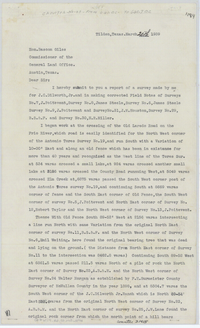
McMullen County Sketch File 40

Print $6.00
- Digital $50.00
McMullen County Sketch File 40
1939
Size 14.2 x 8.7 inches
Map/Doc 31415
Flight Mission No. BRE-2P, Frame 9, Nueces County


Print $20.00
- Digital $50.00
Flight Mission No. BRE-2P, Frame 9, Nueces County
1956
Size 18.5 x 22.3 inches
Map/Doc 86718
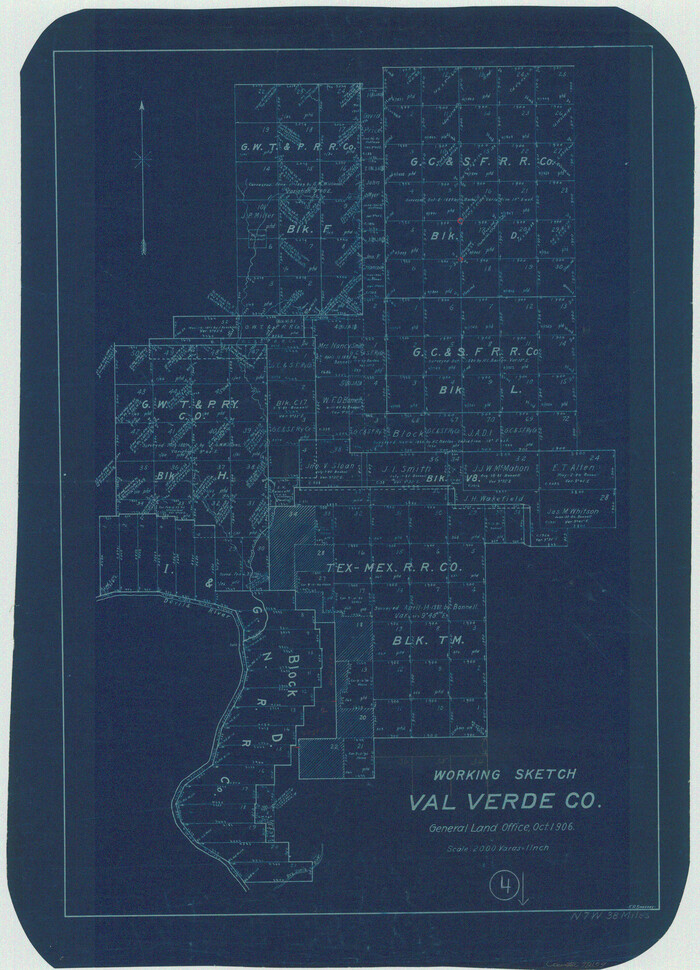
Val Verde County Working Sketch 4

Print $20.00
- Digital $50.00
Val Verde County Working Sketch 4
1906
Size 23.9 x 17.3 inches
Map/Doc 72139
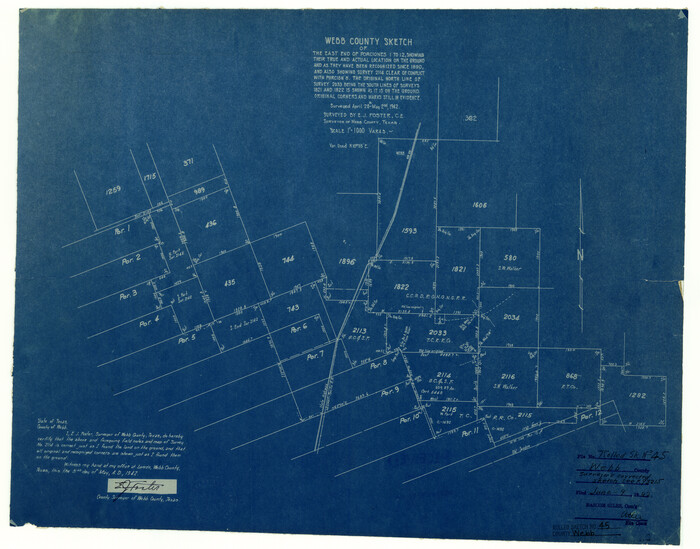
Webb County Rolled Sketch 45

Print $20.00
- Digital $50.00
Webb County Rolled Sketch 45
1942
Size 17.4 x 22.2 inches
Map/Doc 8200
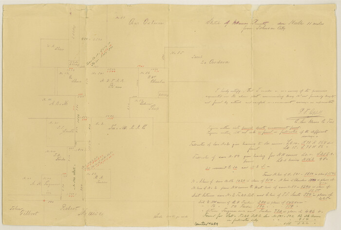
Blanco County Sketch File 41

Print $6.00
- Digital $50.00
Blanco County Sketch File 41
Size 9.6 x 14.3 inches
Map/Doc 14654
Runnels County Sketch File 39


Print $20.00
Runnels County Sketch File 39
1891
Size 25.2 x 19.1 inches
Map/Doc 12270
Houston County Working Sketch 15
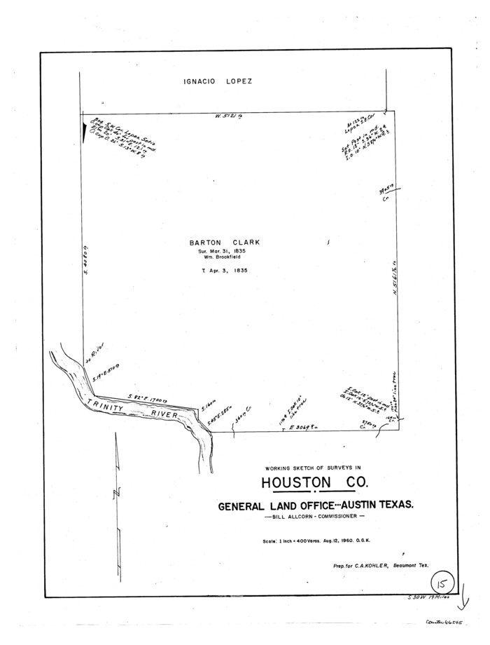

Print $20.00
- Digital $50.00
Houston County Working Sketch 15
1960
Size 26.3 x 20.0 inches
Map/Doc 66245
Live Oak County Working Sketch 15
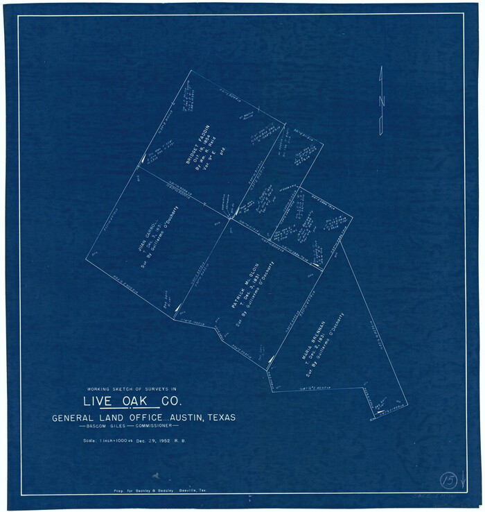

Print $20.00
- Digital $50.00
Live Oak County Working Sketch 15
1952
Size 23.8 x 22.6 inches
Map/Doc 70600
Flight Mission No. DAG-18K, Frame 187, Matagorda County


Print $20.00
- Digital $50.00
Flight Mission No. DAG-18K, Frame 187, Matagorda County
1952
Size 16.2 x 15.8 inches
Map/Doc 86379
Trinity County Rolled Sketch 7
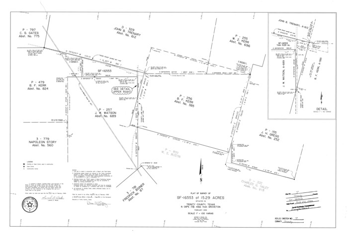

Print $20.00
- Digital $50.00
Trinity County Rolled Sketch 7
1999
Size 24.8 x 36.3 inches
Map/Doc 8054
Cooke County Sketch File 32


Print $43.00
- Digital $50.00
Cooke County Sketch File 32
1873
Size 11.1 x 17.6 inches
Map/Doc 19295
Titus County Sketch File 13


Print $6.00
- Digital $50.00
Titus County Sketch File 13
1929
Size 9.0 x 8.8 inches
Map/Doc 38154
You may also like
The Republic County of Harris. December 31, 1838
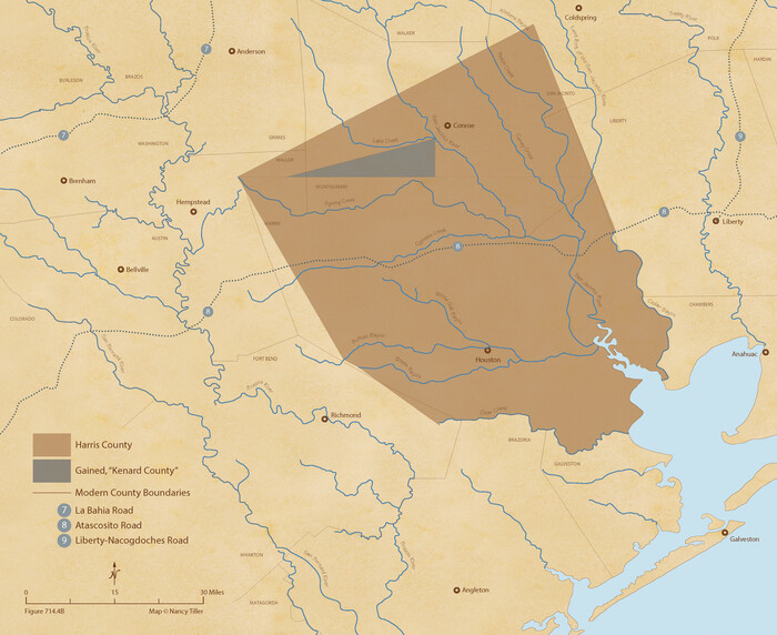

Print $20.00
The Republic County of Harris. December 31, 1838
2020
Size 17.7 x 21.7 inches
Map/Doc 96164
Reagan County
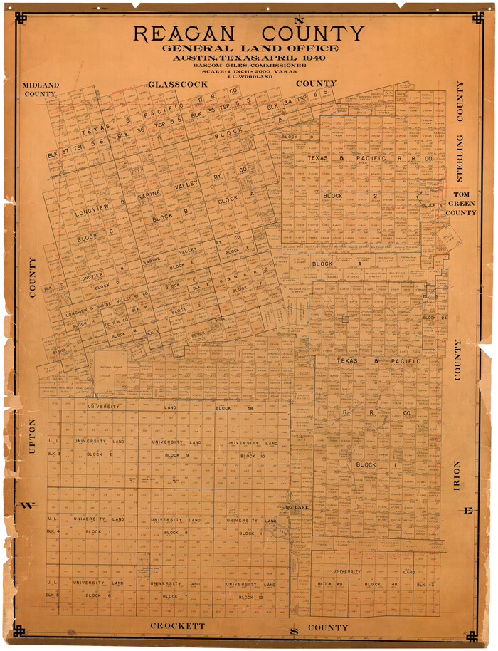

Print $40.00
- Digital $50.00
Reagan County
1940
Size 48.4 x 37.5 inches
Map/Doc 73270
Wilbarger County Sketch File 9
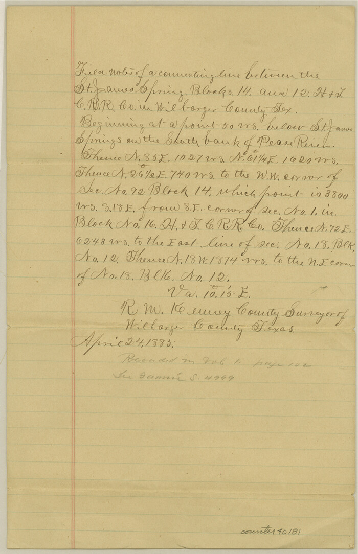

Print $4.00
- Digital $50.00
Wilbarger County Sketch File 9
1885
Size 12.7 x 8.2 inches
Map/Doc 40181
Marion County Working Sketch 12a


Print $20.00
- Digital $50.00
Marion County Working Sketch 12a
1953
Size 23.9 x 33.2 inches
Map/Doc 70788
Jasper County Rolled Sketch 9

Print $83.00
- Digital $50.00
Jasper County Rolled Sketch 9
1932
Size 10.7 x 15.4 inches
Map/Doc 46171
Presidio County Sketch File 99
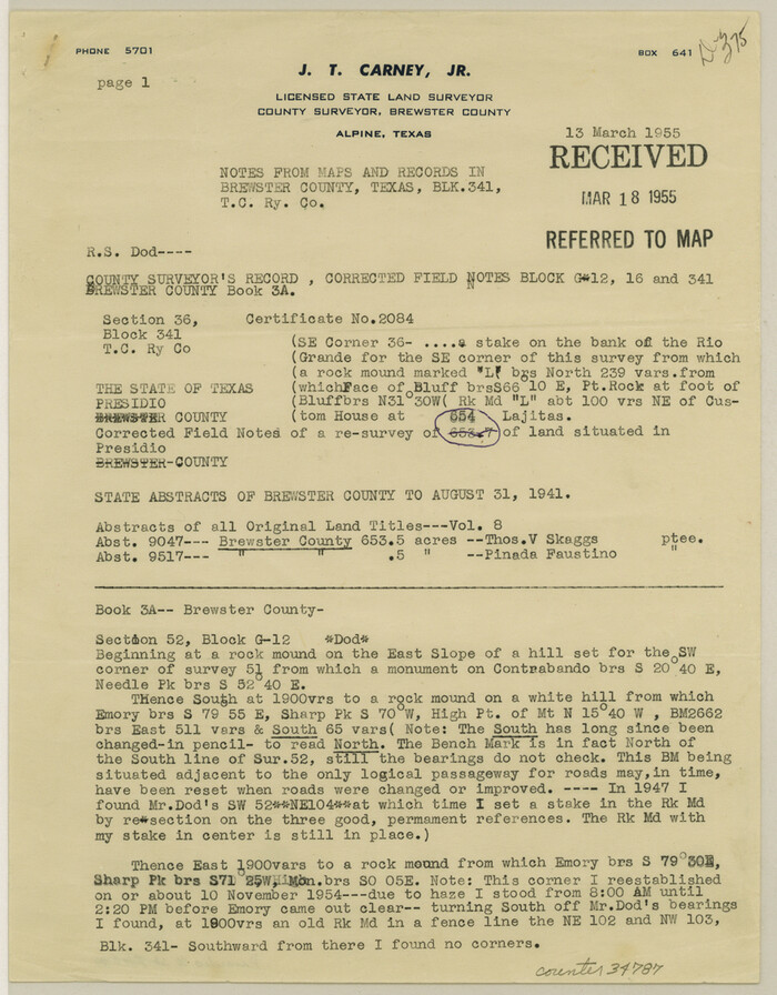

Print $8.00
- Digital $50.00
Presidio County Sketch File 99
1955
Size 11.2 x 8.8 inches
Map/Doc 34787
Cooke County Rolled Sketch 3
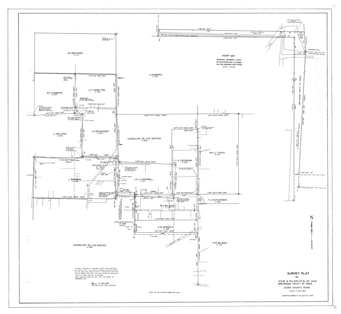

Print $20.00
- Digital $50.00
Cooke County Rolled Sketch 3
1944
Size 37.1 x 40.2 inches
Map/Doc 8670
[Blocks Y2 and I]
![91261, [Blocks Y2 and I], Twichell Survey Records](https://historictexasmaps.com/wmedia_w700/maps/91261-1.tif.jpg)
![91261, [Blocks Y2 and I], Twichell Survey Records](https://historictexasmaps.com/wmedia_w700/maps/91261-1.tif.jpg)
Print $20.00
- Digital $50.00
[Blocks Y2 and I]
Size 17.8 x 13.8 inches
Map/Doc 91261
Bastrop County Sketch File 13


Print $6.00
- Digital $50.00
Bastrop County Sketch File 13
1845
Size 10.1 x 15.8 inches
Map/Doc 14070
Guadalupe County Sketch File 7c


Print $22.00
- Digital $50.00
Guadalupe County Sketch File 7c
Size 12.7 x 15.5 inches
Map/Doc 24672
Hansford County Working Sketch Graphic Index
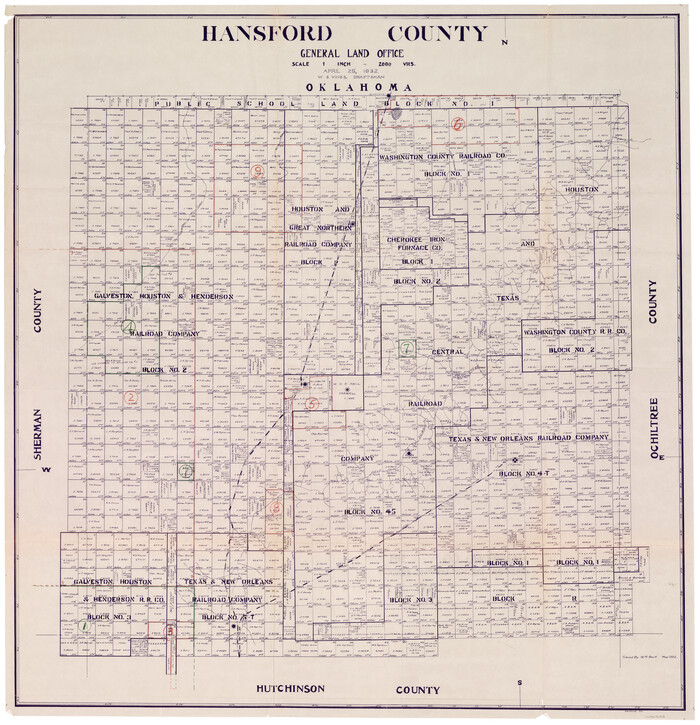

Print $20.00
- Digital $50.00
Hansford County Working Sketch Graphic Index
1932
Size 39.2 x 38.2 inches
Map/Doc 76565
Reynolds's Political Map of the United States Designed to Exhibit the Comparative Area of the Free and Slave States and the Territory open to Slavery or Freedom by the Repeal of the Missouri Compromise


Print $20.00
- Digital $50.00
Reynolds's Political Map of the United States Designed to Exhibit the Comparative Area of the Free and Slave States and the Territory open to Slavery or Freedom by the Repeal of the Missouri Compromise
1856
Size 24.0 x 27.0 inches
Map/Doc 97115
![78356, [Surveys possibly in Austin County], General Map Collection](https://historictexasmaps.com/wmedia_w1800h1800/maps/78356.tif.jpg)