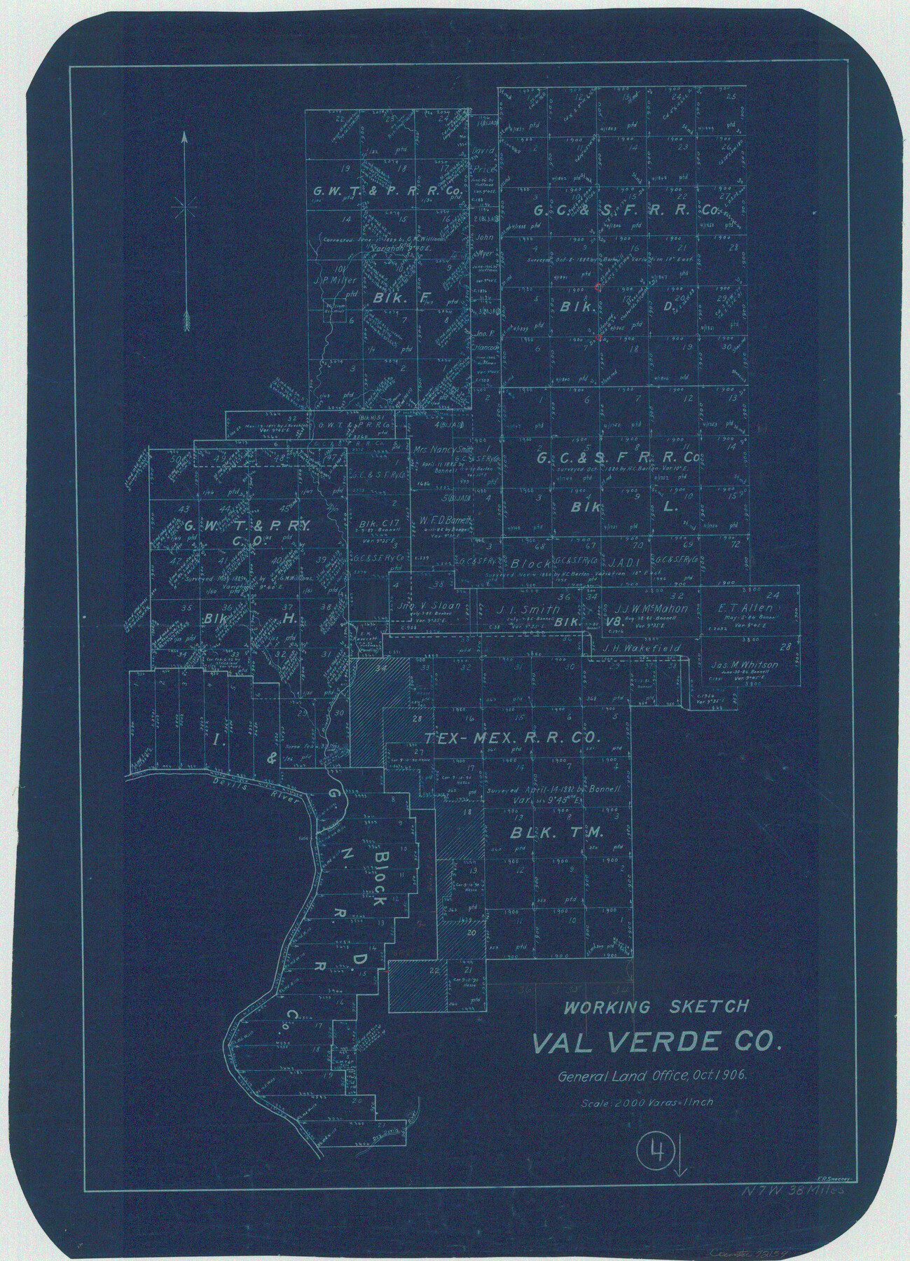
Val Verde County Working Sketch 4
-
Map/Doc
72139
-
Collection
General Map Collection
-
Object Dates
10/1906 (Creation Date)
-
People and Organizations
Frank R. Sweeney (Draftsman)
-
Counties
Val Verde
-
Subjects
Surveying Working Sketch
-
Height x Width
23.9 x 17.3 inches
60.7 x 43.9 cm
-
Scale
1" = 2000 varas
Part of: General Map Collection
Plan of Three Sitios of Land Granted to Vicente Micheli

Print $2.00
- Digital $50.00
Plan of Three Sitios of Land Granted to Vicente Micheli
Size 9.2 x 8.6 inches
Map/Doc 18
Van Zandt County Working Sketch 8

Print $3.00
- Digital $50.00
Van Zandt County Working Sketch 8
1982
Size 15.6 x 9.2 inches
Map/Doc 72258
Uvalde County Working Sketch 67

Print $20.00
- Digital $50.00
Uvalde County Working Sketch 67
2016
Size 24.4 x 36.6 inches
Map/Doc 94082

Township No. 5 South Range No. 14 West of the Indian Meridian

Print $4.00
- Digital $50.00
Township No. 5 South Range No. 14 West of the Indian Meridian
1875
Size 17.8 x 22.8 inches
Map/Doc 75147
Childress County Rolled Sketch 1

Print $20.00
- Digital $50.00
Childress County Rolled Sketch 1
Size 31.2 x 26.5 inches
Map/Doc 5437
Jeff Davis County Rolled Sketch 7

Print $40.00
- Digital $50.00
Jeff Davis County Rolled Sketch 7
1890
Size 8.9 x 94.9 inches
Map/Doc 9263
Hood County Sketch File 5

Print $4.00
- Digital $50.00
Hood County Sketch File 5
1884
Size 9.1 x 5.7 inches
Map/Doc 26577
Brown County Working Sketch 9

Print $40.00
- Digital $50.00
Brown County Working Sketch 9
1977
Size 63.7 x 36.4 inches
Map/Doc 67774
Orange County Sketch File 25

Print $20.00
- Digital $50.00
Orange County Sketch File 25
1914
Size 19.6 x 38.2 inches
Map/Doc 12122
Real County Working Sketch 18

Print $20.00
- Digital $50.00
Real County Working Sketch 18
1943
Size 26.5 x 33.3 inches
Map/Doc 71910
Flight Mission No. BQR-4K, Frame 67, Brazoria County

Print $20.00
- Digital $50.00
Flight Mission No. BQR-4K, Frame 67, Brazoria County
1952
Size 18.7 x 22.5 inches
Map/Doc 84000
You may also like
Hall County Rolled Sketch 5

Print $20.00
- Digital $50.00
Hall County Rolled Sketch 5
1914
Size 30.2 x 37.1 inches
Map/Doc 6049
[Surveying Sketch of W.B. Tatum, Wm. B. Jordan, et al]
![428, [Surveying Sketch of W.B. Tatum, Wm. B. Jordan, et al], Maddox Collection](https://historictexasmaps.com/wmedia_w700/maps/0428.tif.jpg)
Print $2.00
- Digital $50.00
[Surveying Sketch of W.B. Tatum, Wm. B. Jordan, et al]
Size 8.9 x 10.8 inches
Map/Doc 428
Trinity County Sketch File 3

Print $24.00
- Digital $50.00
Trinity County Sketch File 3
Size 12.6 x 15.0 inches
Map/Doc 38498
Brazoria County

Print $20.00
- Digital $50.00
Brazoria County
1873
Size 26.7 x 26.1 inches
Map/Doc 858
General Highway Map. Detail of Cities and Towns in Harris County, Texas

Print $20.00
General Highway Map. Detail of Cities and Towns in Harris County, Texas
1939
Size 18.3 x 24.7 inches
Map/Doc 79120
Ward County Working Sketch 3

Print $20.00
- Digital $50.00
Ward County Working Sketch 3
1935
Size 24.1 x 27.1 inches
Map/Doc 72309
Cameron County Rolled Sketch 22

Print $63.00
- Digital $50.00
Cameron County Rolled Sketch 22
Size 9.8 x 15.0 inches
Map/Doc 43919
Medina County Working Sketch 14

Print $20.00
- Digital $50.00
Medina County Working Sketch 14
1972
Size 21.5 x 30.7 inches
Map/Doc 70929
[Sketch for Mineral Application 26543 - Sabine River, D. H. Sanford]
![65677, [Sketch for Mineral Application 26543 - Sabine River, D. H. Sanford], General Map Collection](https://historictexasmaps.com/wmedia_w700/maps/65677.tif.jpg)
Print $40.00
- Digital $50.00
[Sketch for Mineral Application 26543 - Sabine River, D. H. Sanford]
1931
Size 30.8 x 71.9 inches
Map/Doc 65677
Montgomery County Working Sketch 2

Print $20.00
- Digital $50.00
Montgomery County Working Sketch 2
1914
Size 14.5 x 23.2 inches
Map/Doc 71108
Flight Mission No. CLL-13G, Frame 39, Willacy County

Print $20.00
- Digital $50.00
Flight Mission No. CLL-13G, Frame 39, Willacy County
1950
Size 18.4 x 18.2 inches
Map/Doc 87089
Flight Mission No. CRC-3R, Frame 24, Chambers County

Print $20.00
- Digital $50.00
Flight Mission No. CRC-3R, Frame 24, Chambers County
1956
Size 18.6 x 22.2 inches
Map/Doc 84798