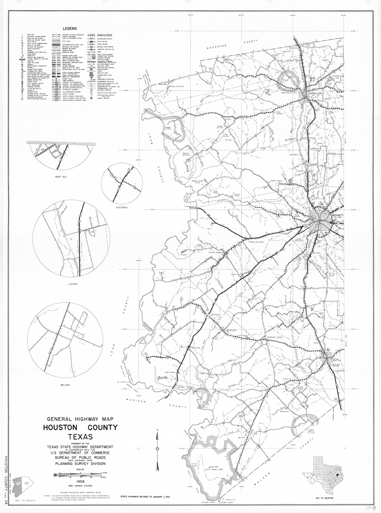
General Highway Map, Houston County, Texas
-
Map/Doc
79524
-
Collection
Texas State Library and Archives
-
Object Dates
1961 (Creation Date)
-
People and Organizations
Texas State Highway Department (Publisher)
-
Counties
Houston
-
Subjects
County
-
Height x Width
24.6 x 18.3 inches
62.5 x 46.5 cm
-
Comments
Prints available courtesy of the Texas State Library and Archives.
More info can be found here: TSLAC Map 05178
Part of: Texas State Library and Archives
General Highway Map, Borden County, Texas

Print $20.00
General Highway Map, Borden County, Texas
1961
Size 18.3 x 25.0 inches
Map/Doc 79377
General Highway Map, Navarro County, Texas

Print $20.00
General Highway Map, Navarro County, Texas
1961
Size 19.3 x 25.0 inches
Map/Doc 79610
Description of Best Route from Austin to San Antonio, Texas

Print $20.00
Description of Best Route from Austin to San Antonio, Texas
1865
Size 12.9 x 13.1 inches
Map/Doc 79296
General Highway Map, Carson County, Texas

Print $20.00
General Highway Map, Carson County, Texas
1940
Size 18.5 x 25.1 inches
Map/Doc 79041
General Highway Map, Nueces County, Texas

Print $20.00
General Highway Map, Nueces County, Texas
1940
Size 24.6 x 18.5 inches
Map/Doc 79209
General Highway Map, Williamson County, Texas

Print $20.00
General Highway Map, Williamson County, Texas
1961
Size 24.8 x 18.2 inches
Map/Doc 79712
Rand McNally Standard Map of Texas (reverse)

Print $20.00
Rand McNally Standard Map of Texas (reverse)
1923
Size 39.8 x 27.2 inches
Map/Doc 76229
General Highway Map, Fisher County, Texas

Print $20.00
General Highway Map, Fisher County, Texas
1940
Size 18.5 x 25.0 inches
Map/Doc 79090
Correct Map of the Railway and Steamship Lines operated by the Southern Pacific Company

Print $20.00
Correct Map of the Railway and Steamship Lines operated by the Southern Pacific Company
1894
Size 17.0 x 40.1 inches
Map/Doc 79333
General Highway Map, Brewster County, Texas

Print $20.00
General Highway Map, Brewster County, Texas
1961
Size 18.3 x 24.9 inches
Map/Doc 79386
General Highway Map, Anderson County, Texas

Print $20.00
General Highway Map, Anderson County, Texas
1961
Size 18.3 x 25.0 inches
Map/Doc 79346
General Highway Map, Jones County, Texas

Print $20.00
General Highway Map, Jones County, Texas
1961
Size 18.2 x 24.5 inches
Map/Doc 79546
You may also like
Cameron County Boundary File 1

Print $14.00
- Digital $50.00
Cameron County Boundary File 1
Size 14.1 x 8.6 inches
Map/Doc 51087
Sterling County Sketch File A

Print $20.00
- Digital $50.00
Sterling County Sketch File A
1906
Size 18.2 x 26.0 inches
Map/Doc 12362
Flight Mission No. DCL-7C, Frame 67, Kenedy County

Print $20.00
- Digital $50.00
Flight Mission No. DCL-7C, Frame 67, Kenedy County
1943
Size 15.5 x 15.3 inches
Map/Doc 86053
Harris County Rolled Sketch T1

Print $20.00
- Digital $50.00
Harris County Rolled Sketch T1
1916
Size 29.8 x 24.3 inches
Map/Doc 6144
Crockett County Working Sketch 33

Print $20.00
- Digital $50.00
Crockett County Working Sketch 33
1926
Size 27.0 x 32.8 inches
Map/Doc 68366

Flight Mission No. DCL-5C, Frame 69, Kenedy County

Print $20.00
- Digital $50.00
Flight Mission No. DCL-5C, Frame 69, Kenedy County
1943
Size 18.5 x 22.3 inches
Map/Doc 85852

Edwards County Working Sketch 83

Print $20.00
- Digital $50.00
Edwards County Working Sketch 83
1965
Size 29.2 x 34.3 inches
Map/Doc 68959
Texas Gulf Coast Map from the Sabine River to the Rio Grande as subdivided for mineral development

Print $20.00
- Digital $50.00
Texas Gulf Coast Map from the Sabine River to the Rio Grande as subdivided for mineral development
1948
Size 41.6 x 39.2 inches
Map/Doc 2904
Flight Mission No. DCL-7C, Frame 150, Kenedy County

Print $20.00
- Digital $50.00
Flight Mission No. DCL-7C, Frame 150, Kenedy County
1943
Size 18.5 x 22.2 inches
Map/Doc 86107
Brown County Sketch File 6

Print $6.00
- Digital $50.00
Brown County Sketch File 6
1858
Size 10.4 x 8.3 inches
Map/Doc 16587