[Ft. W. & R. G. Ry. Right of Way Map, Chapin to Bluffdale, Hood County, Texas]
[M.P. 26 to M.P. 55]
Z-2-167
-
Map/Doc
64644
-
Collection
General Map Collection
-
Object Dates
1918 (Creation Date)
-
Counties
Hood
-
Subjects
Railroads
-
Height x Width
37.7 x 84.3 inches
95.8 x 214.1 cm
-
Medium
blueprint/diazo
-
Scale
1" = 400 feet
-
Comments
Segment 3; see counter nos. 64643 and 64645 for other segments and counter no. 64646 for sheet 2.
-
Features
FW&RG
Brazos River
Waples
Part of: General Map Collection
Flight Mission No. DAG-21K, Frame 91, Matagorda County


Print $20.00
- Digital $50.00
Flight Mission No. DAG-21K, Frame 91, Matagorda County
1952
Size 18.5 x 22.4 inches
Map/Doc 86420
Cherokee County Boundary File 3
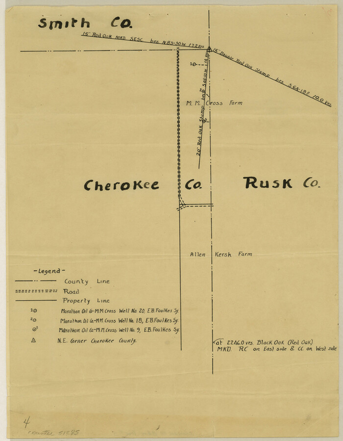

Print $34.00
- Digital $50.00
Cherokee County Boundary File 3
Size 11.2 x 8.8 inches
Map/Doc 51285
Lampasas County Sketch File 1
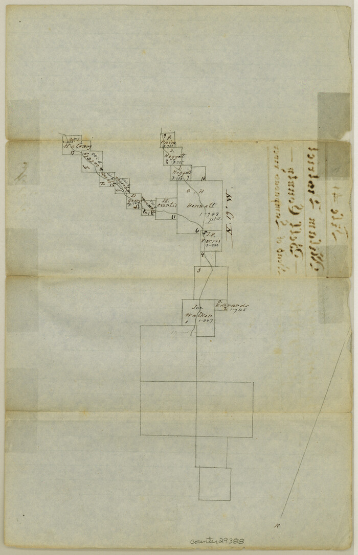

Print $4.00
- Digital $50.00
Lampasas County Sketch File 1
Size 12.6 x 8.1 inches
Map/Doc 29388
Nueces County Rolled Sketch 56


Print $53.00
- Digital $50.00
Nueces County Rolled Sketch 56
1978
Size 10.0 x 15.1 inches
Map/Doc 47890
Tom Green County Rolled Sketch 11
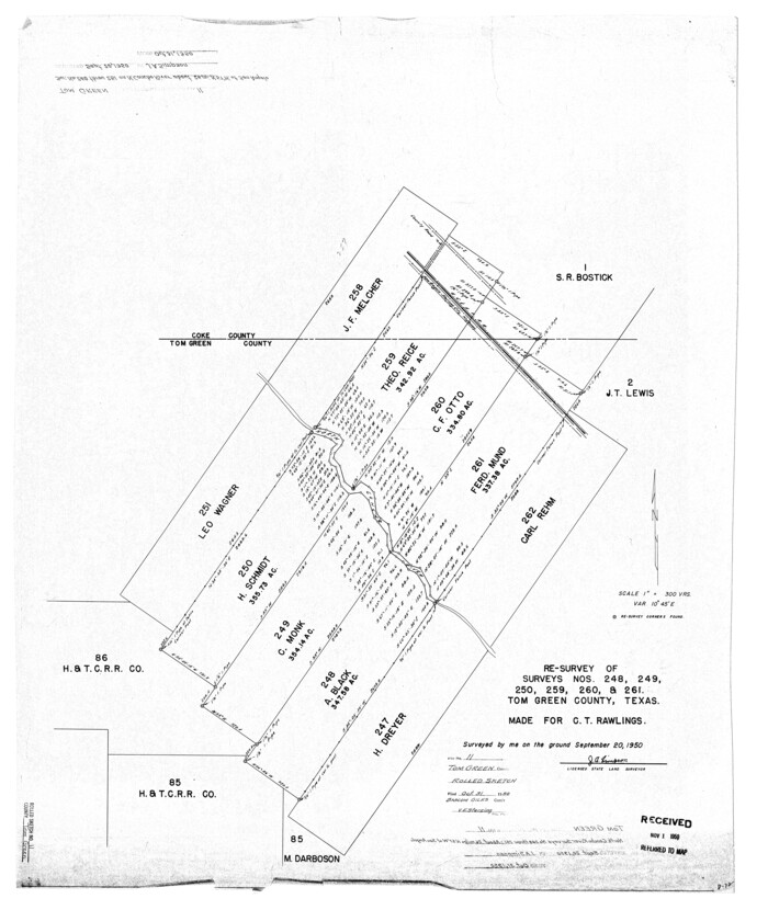

Print $20.00
- Digital $50.00
Tom Green County Rolled Sketch 11
Size 33.0 x 27.9 inches
Map/Doc 7998
Runnels County Sketch File 36


Print $20.00
Runnels County Sketch File 36
1889
Size 20.9 x 19.6 inches
Map/Doc 12267
Brazoria County
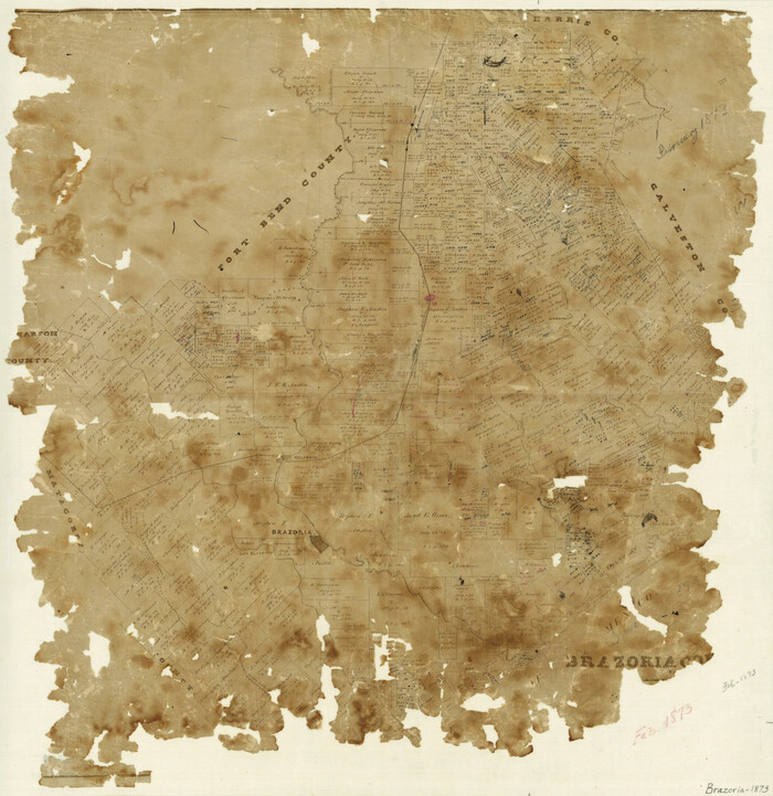

Print $20.00
- Digital $50.00
Brazoria County
1873
Size 26.7 x 26.1 inches
Map/Doc 858
Presidio County Sketch File 36
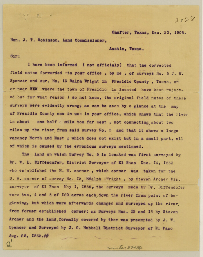

Print $10.00
- Digital $50.00
Presidio County Sketch File 36
1908
Size 10.4 x 8.2 inches
Map/Doc 34486
Jefferson County Working Sketch 5
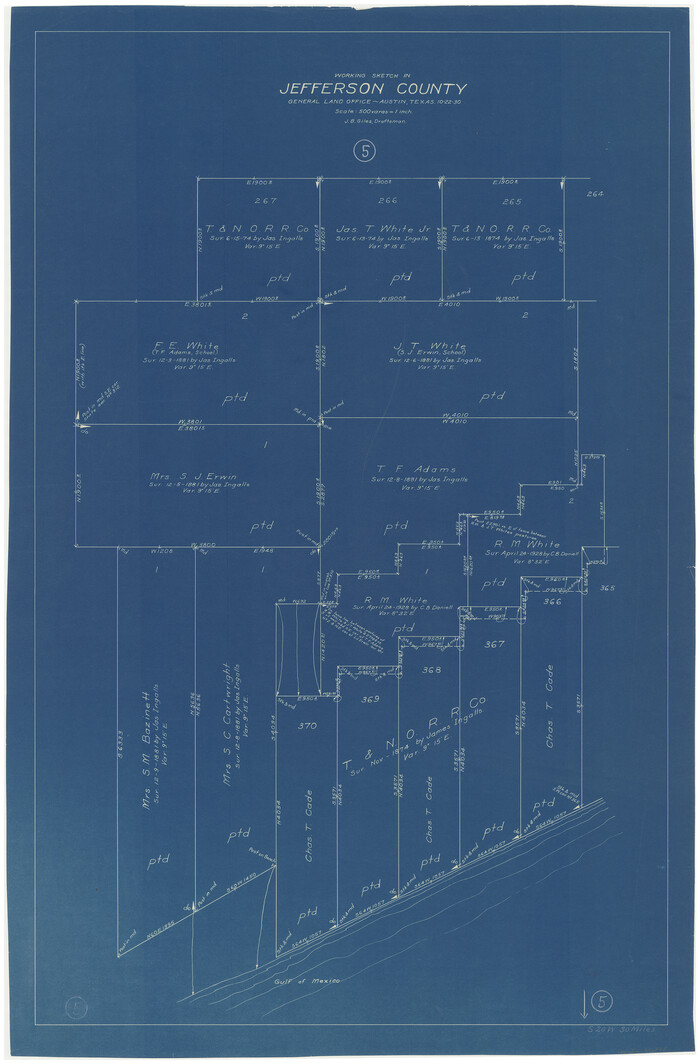

Print $20.00
- Digital $50.00
Jefferson County Working Sketch 5
1930
Size 32.7 x 21.8 inches
Map/Doc 66548
Hockley County Boundary File 6

Print $446.00
- Digital $50.00
Hockley County Boundary File 6
Size 3.1 x 5.1 inches
Map/Doc 54832
You may also like
The Republic County of Houston. February 2, 1842
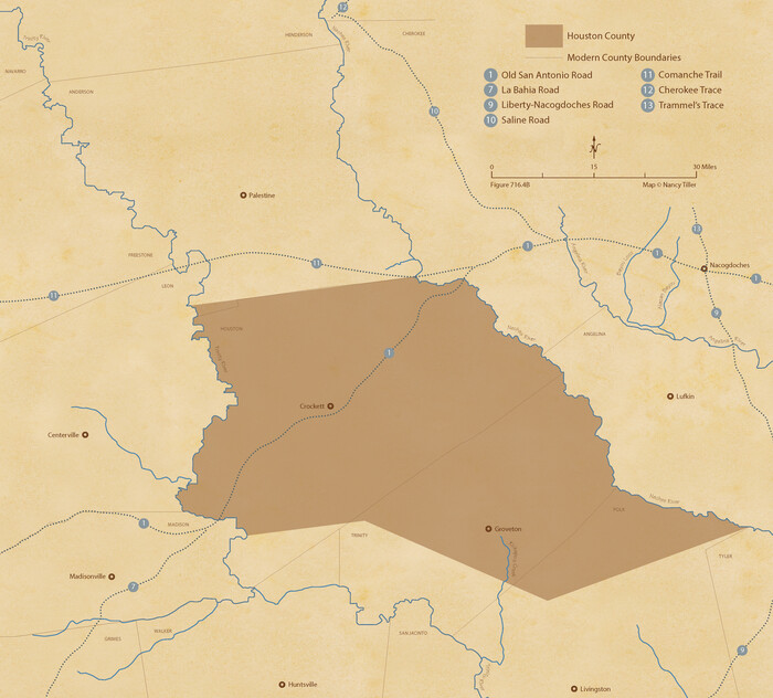

Print $20.00
The Republic County of Houston. February 2, 1842
2020
Size 19.7 x 21.8 inches
Map/Doc 96181
Hardeman County Sketch File 31
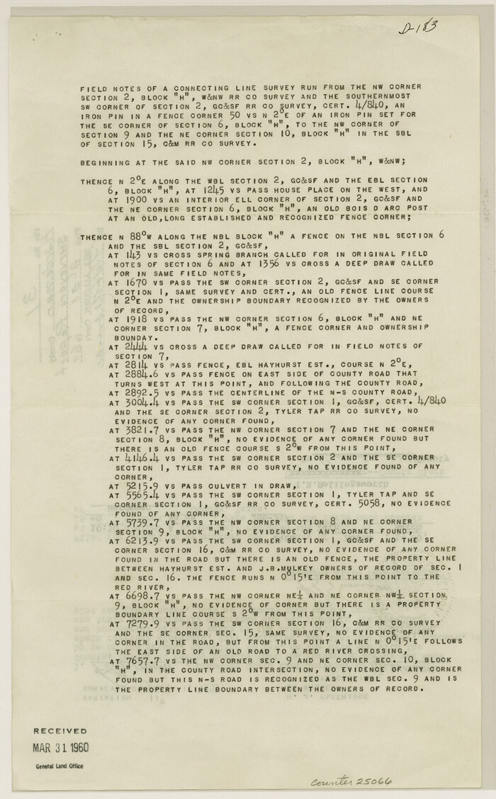

Print $4.00
- Digital $50.00
Hardeman County Sketch File 31
Size 14.5 x 9.0 inches
Map/Doc 25066
Survey plat of State Land, A. G. McMath No. 298, SF-10723 in El Paso County, Texas
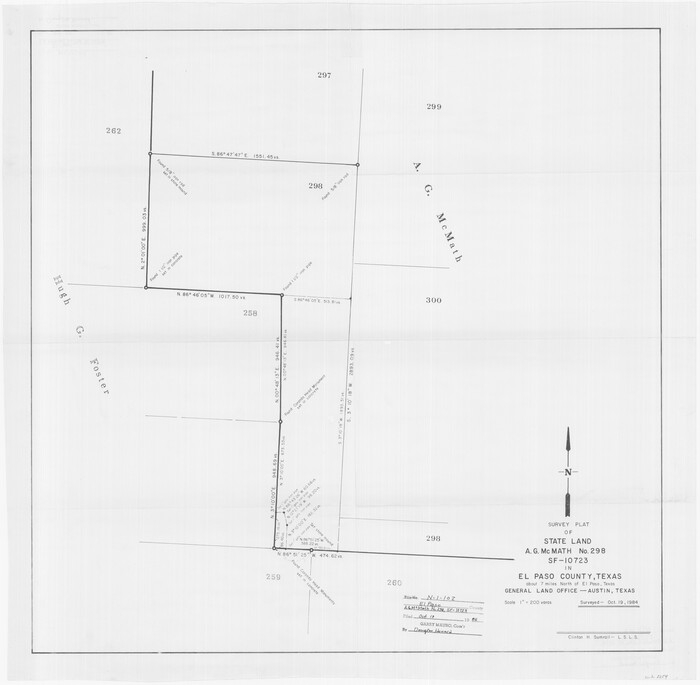

Print $4.00
- Digital $50.00
Survey plat of State Land, A. G. McMath No. 298, SF-10723 in El Paso County, Texas
1984
Size 25.6 x 26.1 inches
Map/Doc 2254
Dallas County Boundary File 1

Print $62.00
- Digital $50.00
Dallas County Boundary File 1
Size 4.1 x 3.7 inches
Map/Doc 52084
Packery Channel
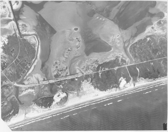

Print $20.00
- Digital $50.00
Packery Channel
1958
Size 29.5 x 37.5 inches
Map/Doc 2992
Sterling County Sketch File 18
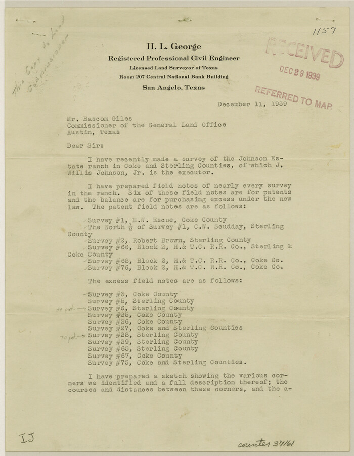

Print $8.00
- Digital $50.00
Sterling County Sketch File 18
1939
Size 11.2 x 8.7 inches
Map/Doc 37161
Upton County Working Sketch 39


Print $20.00
- Digital $50.00
Upton County Working Sketch 39
1958
Size 25.4 x 30.1 inches
Map/Doc 69535
Part of Garza, Crosby, Lynn, and Lubbock Counties


Print $20.00
- Digital $50.00
Part of Garza, Crosby, Lynn, and Lubbock Counties
1912
Size 39.6 x 26.0 inches
Map/Doc 92560
Leon County Working Sketch 21


Print $20.00
- Digital $50.00
Leon County Working Sketch 21
1964
Size 20.9 x 22.9 inches
Map/Doc 70420
Kaufman County Sketch File 17 1/2
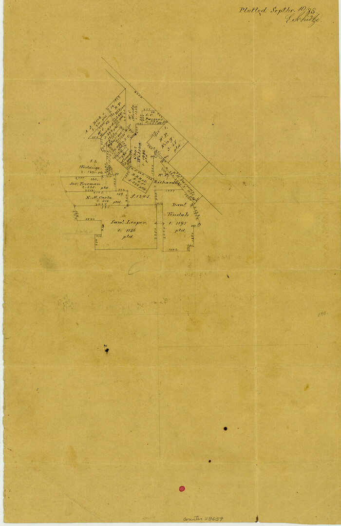

Print $6.00
- Digital $50.00
Kaufman County Sketch File 17 1/2
1888
Size 17.0 x 11.1 inches
Map/Doc 28659
From Citizens of Fannin County for the Creation of a New County to be Called Sherman, December 1, 1845


Print $20.00
From Citizens of Fannin County for the Creation of a New County to be Called Sherman, December 1, 1845
2020
Size 16.7 x 21.7 inches
Map/Doc 96397
Flight Mission No. CUG-2P, Frame 62, Kleberg County
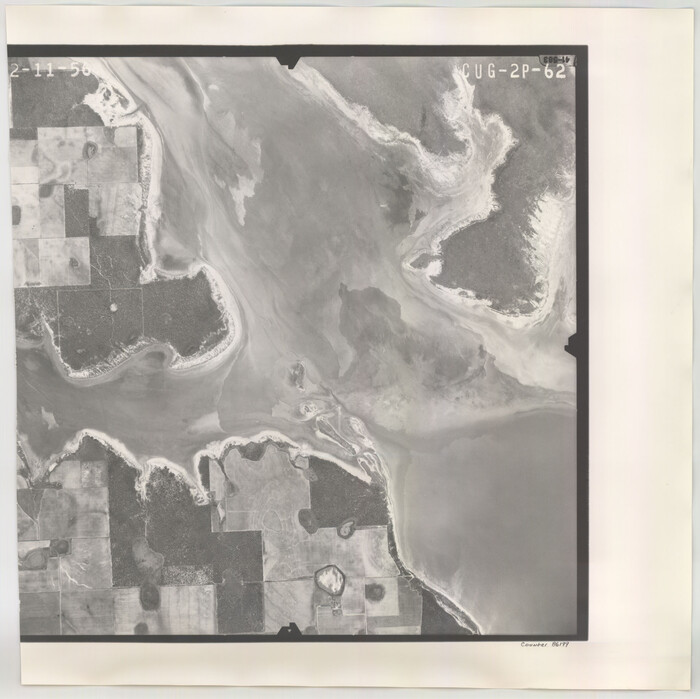

Print $20.00
- Digital $50.00
Flight Mission No. CUG-2P, Frame 62, Kleberg County
1956
Size 18.5 x 18.5 inches
Map/Doc 86199
![64644, [Ft. W. & R. G. Ry. Right of Way Map, Chapin to Bluffdale, Hood County, Texas], General Map Collection](https://historictexasmaps.com/wmedia_w1800h1800/maps/64644.tif.jpg)

