Padre Island National Seashore, Texas - Dependent Resurvey
-
Map/Doc
60549
-
Collection
General Map Collection
-
Object Dates
2001 (Creation Date)
-
Height x Width
18.4 x 24.0 inches
46.7 x 61.0 cm
Part of: General Map Collection
Jack County Sketch File 5a

Print $6.00
- Digital $50.00
Jack County Sketch File 5a
1856
Size 8.6 x 9.8 inches
Map/Doc 27510
Newton County Sketch File 46

Print $18.00
- Digital $50.00
Newton County Sketch File 46
1962
Size 11.2 x 8.6 inches
Map/Doc 32451
Right of Way & Track Map, St. Louis, Brownsville & Mexico Ry. operated by St. Louis, Brownsville & Mexico Ry. Co.

Print $40.00
- Digital $50.00
Right of Way & Track Map, St. Louis, Brownsville & Mexico Ry. operated by St. Louis, Brownsville & Mexico Ry. Co.
1919
Size 25.4 x 56.9 inches
Map/Doc 64623
Newton County Working Sketch 24


Print $20.00
- Digital $50.00
Newton County Working Sketch 24
1953
Size 13.4 x 16.1 inches
Map/Doc 71270
Chambers County Sketch File 29


Print $20.00
- Digital $50.00
Chambers County Sketch File 29
Size 29.0 x 34.5 inches
Map/Doc 10332
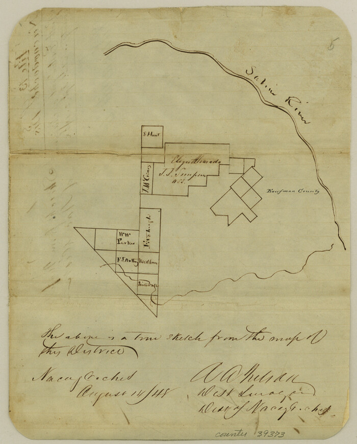
Van Zandt County Sketch File 6

Print $4.00
- Digital $50.00
Van Zandt County Sketch File 6
1848
Size 9.7 x 7.9 inches
Map/Doc 39373
Harris County Boundary File 40


Print $8.00
- Digital $50.00
Harris County Boundary File 40
Size 14.2 x 8.7 inches
Map/Doc 54370
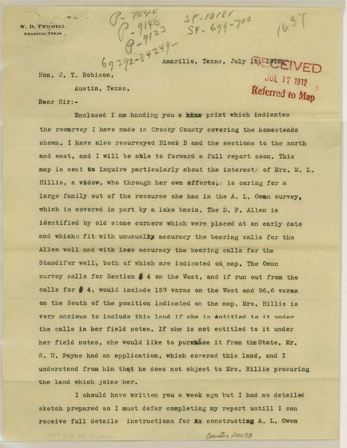
Crosby County Sketch File 25

Print $12.00
- Digital $50.00
Crosby County Sketch File 25
1912
Size 11.2 x 8.7 inches
Map/Doc 20093
Bee County Boundary File 2

Print $10.00
- Digital $50.00
Bee County Boundary File 2
Size 8.8 x 6.8 inches
Map/Doc 50435
Flight Mission No. DQN-2K, Frame 160, Calhoun County


Print $20.00
- Digital $50.00
Flight Mission No. DQN-2K, Frame 160, Calhoun County
1953
Size 18.6 x 22.3 inches
Map/Doc 84322
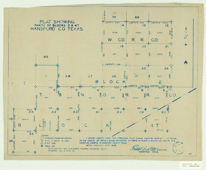
Hansford County Sketch File 5

Print $20.00
- Digital $50.00
Hansford County Sketch File 5
1926
Size 19.0 x 23.0 inches
Map/Doc 11621
You may also like
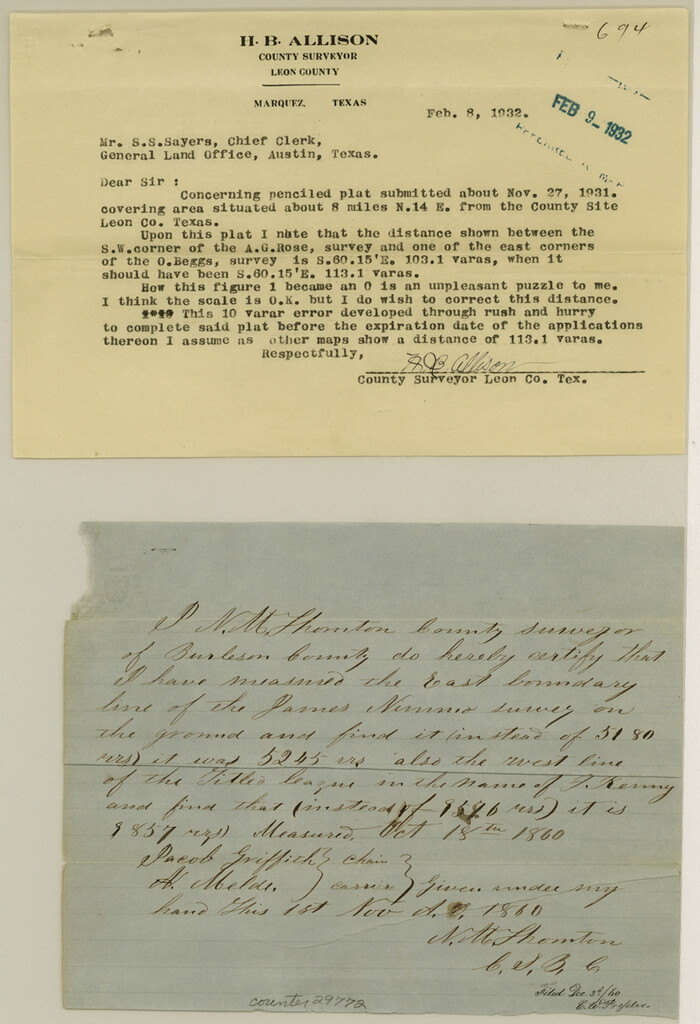
Leon County Sketch File 22

Print $24.00
- Digital $50.00
Leon County Sketch File 22
Size 12.8 x 8.8 inches
Map/Doc 29772
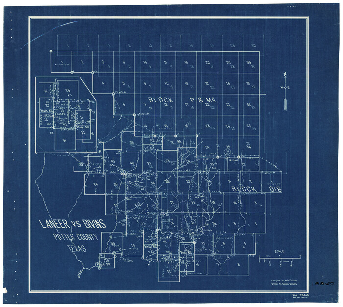
Laneer vs. Bivins, Potter County, Texas

Print $20.00
- Digital $50.00
Laneer vs. Bivins, Potter County, Texas
Size 21.1 x 18.7 inches
Map/Doc 93098
Real County Working Sketch 58


Print $20.00
- Digital $50.00
Real County Working Sketch 58
1962
Size 24.7 x 28.5 inches
Map/Doc 71950
Val Verde County Rolled Sketch 72A


Print $20.00
- Digital $50.00
Val Verde County Rolled Sketch 72A
Size 15.5 x 37.8 inches
Map/Doc 8135
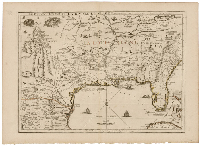
Partie Meridionale de la Riviere de Missisipi, et ses environs dans l'Amerique Septentrionale

Print $20.00
- Digital $50.00
Partie Meridionale de la Riviere de Missisipi, et ses environs dans l'Amerique Septentrionale
1718
Size 22.0 x 30.3 inches
Map/Doc 93926
[Block 47, Sections 66-76]
![91790, [Block 47, Sections 66-76], Twichell Survey Records](https://historictexasmaps.com/wmedia_w700/maps/91790-1.tif.jpg)
![91790, [Block 47, Sections 66-76], Twichell Survey Records](https://historictexasmaps.com/wmedia_w700/maps/91790-1.tif.jpg)
Print $3.00
- Digital $50.00
[Block 47, Sections 66-76]
Size 15.8 x 10.6 inches
Map/Doc 91790
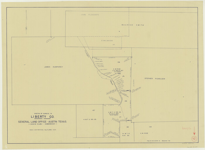
Liberty County Working Sketch 40

Print $20.00
- Digital $50.00
Liberty County Working Sketch 40
1952
Size 24.1 x 32.9 inches
Map/Doc 70499
Grayson County Sketch File 1


Print $2.00
- Digital $50.00
Grayson County Sketch File 1
1854
Size 8.4 x 3.3 inches
Map/Doc 24459
Menard County Working Sketch 13


Print $20.00
- Digital $50.00
Menard County Working Sketch 13
1939
Size 27.3 x 38.1 inches
Map/Doc 70960
Sutton County Sketch File 54
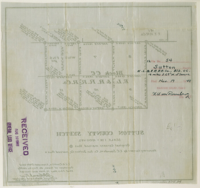

Print $6.00
- Digital $50.00
Sutton County Sketch File 54
1948
Size 10.8 x 11.5 inches
Map/Doc 37534
Mapa de los Estados Unidos de Méjico, Segun lo organizado y definido por las varias actas del Congreso de dicha Republica: y construido por las mejores autoridades
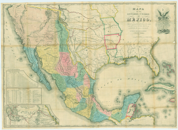

Print $20.00
Mapa de los Estados Unidos de Méjico, Segun lo organizado y definido por las varias actas del Congreso de dicha Republica: y construido por las mejores autoridades
1846
Size 30.8 x 42.4 inches
Map/Doc 79727
Sketch of a reconnaissance of Aransas and Corpus Christi Bays
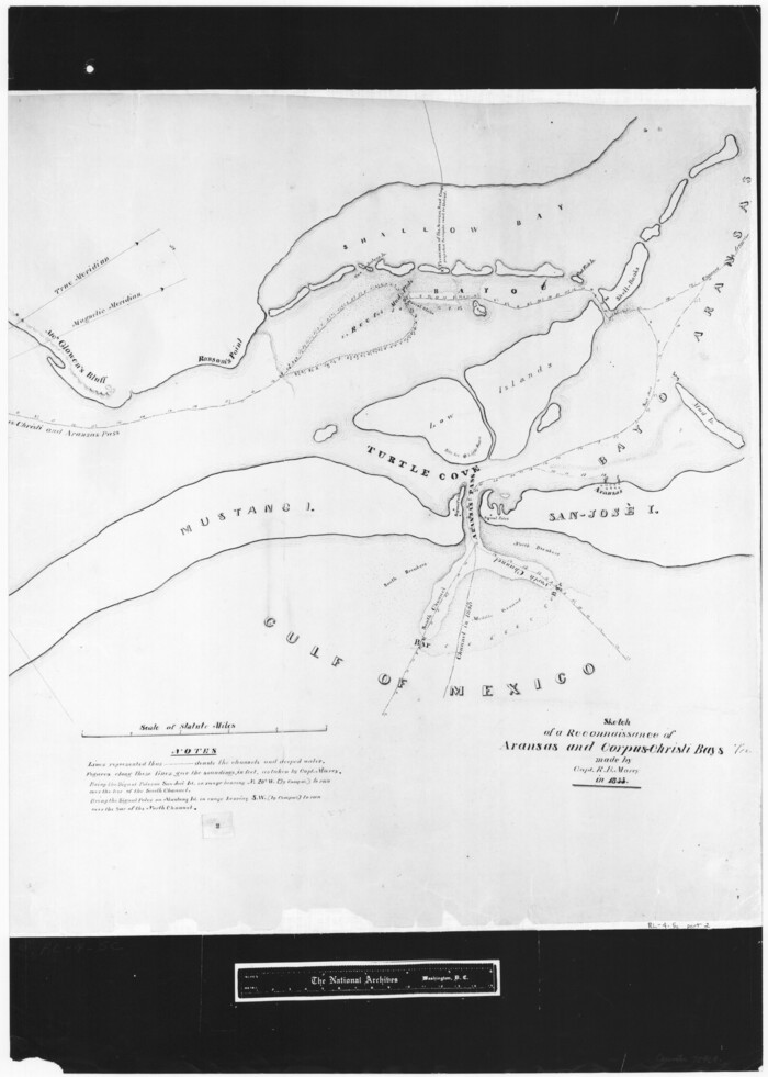

Print $20.00
- Digital $50.00
Sketch of a reconnaissance of Aransas and Corpus Christi Bays
1855
Size 25.7 x 18.3 inches
Map/Doc 72969

