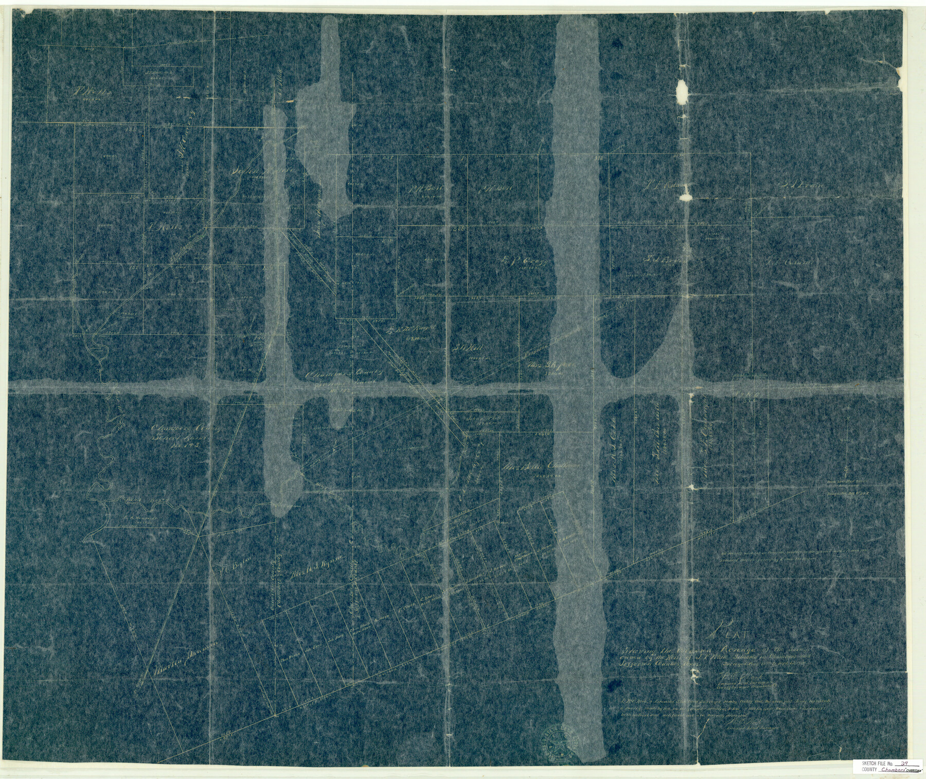
Chambers County Sketch File 29
Plat showing the corrected acreage of the surveys owned by the heirs of J.T. White situated in Chambers and Jefferson Counties, Texas
-
Map/Doc
10332
-
Collection
General Map Collection
-
Object Dates
1930/9/12 (Survey Date)
-
People and Organizations
W.O. Work (Surveyor/Engineer)
-
Counties
Chambers Jefferson
-
Subjects
Surveying Sketch File
-
Height x Width
29.0 x 34.5 inches
73.7 x 87.6 cm
-
Medium
blueprint/diazo
-
Features
Elm Bayou
G&I
East Bay Bayou
Mud Bayou
Part of: General Map Collection
El Paso County Sketch File 35 (1)

Print $8.00
- Digital $50.00
El Paso County Sketch File 35 (1)
Size 13.0 x 8.3 inches
Map/Doc 22166
Galveston Bay and Approaches

Print $20.00
- Digital $50.00
Galveston Bay and Approaches
1946
Size 45.5 x 34.0 inches
Map/Doc 69876
Map of Red River County

Print $20.00
- Digital $50.00
Map of Red River County
1856
Size 22.2 x 18.4 inches
Map/Doc 3981
Map of Texas compiled from surveys recorded in the Land Office of Texas and other official surveys

Print $20.00
- Digital $50.00
Map of Texas compiled from surveys recorded in the Land Office of Texas and other official surveys
1841
Size 24.6 x 24.2 inches
Map/Doc 96435
Donley County

Print $20.00
- Digital $50.00
Donley County
1944
Size 46.0 x 40.5 inches
Map/Doc 73134
Victoria County Rolled Sketch 9

Print $20.00
- Digital $50.00
Victoria County Rolled Sketch 9
Size 24.1 x 36.2 inches
Map/Doc 95399
PSL Field Notes for Blocks G, L, P, and Q in Cochran and Yoakum Counties and Blocks U, V, W, Y, and Z in Cochran County

PSL Field Notes for Blocks G, L, P, and Q in Cochran and Yoakum Counties and Blocks U, V, W, Y, and Z in Cochran County
Map/Doc 81645
Current Miscellaneous File 81

Print $14.00
- Digital $50.00
Current Miscellaneous File 81
1942
Size 14.2 x 8.9 inches
Map/Doc 74217
Bandera County Sketch File 4

Print $4.00
- Digital $50.00
Bandera County Sketch File 4
Size 9.3 x 8.3 inches
Map/Doc 14001
Cherokee County Sketch File 30

Print $17.00
- Digital $50.00
Cherokee County Sketch File 30
1934
Size 10.3 x 9.4 inches
Map/Doc 18176
Texas, San Antonio Bay, Guadalupe Bay

Print $40.00
- Digital $50.00
Texas, San Antonio Bay, Guadalupe Bay
1934
Size 28.8 x 48.4 inches
Map/Doc 69999
Throckmorton County Working Sketch 9

Print $20.00
- Digital $50.00
Throckmorton County Working Sketch 9
1963
Size 25.2 x 35.8 inches
Map/Doc 62118
You may also like
Flight Mission No. DCL-7C, Frame 15, Kenedy County

Print $20.00
- Digital $50.00
Flight Mission No. DCL-7C, Frame 15, Kenedy County
1943
Size 15.4 x 15.3 inches
Map/Doc 86007
Chase & Bachelder's American Museum of Art

Print $20.00
- Digital $50.00
Chase & Bachelder's American Museum of Art
1875
Size 37.4 x 28.0 inches
Map/Doc 97495
Aransas County Sketch File 29

Print $24.00
- Digital $50.00
Aransas County Sketch File 29
Size 7.8 x 8.1 inches
Map/Doc 13234
G&H Blocks Gaines Co. Resurvey 1915

Print $40.00
- Digital $50.00
G&H Blocks Gaines Co. Resurvey 1915
1915
Size 56.8 x 31.3 inches
Map/Doc 89632
Sutton County Rolled Sketch 48

Print $20.00
- Digital $50.00
Sutton County Rolled Sketch 48
1946
Size 35.9 x 22.9 inches
Map/Doc 7889
Map of North Meadow Located on S. Part SE 1/4 Section

Print $20.00
- Digital $50.00
Map of North Meadow Located on S. Part SE 1/4 Section
Size 11.6 x 21.0 inches
Map/Doc 92284
Harbor Pass and Bar at Brazos Santiago, Texas

Print $20.00
- Digital $50.00
Harbor Pass and Bar at Brazos Santiago, Texas
1879
Size 18.2 x 27.6 inches
Map/Doc 72999
Map of Randall County

Print $20.00
- Digital $50.00
Map of Randall County
1892
Size 24.4 x 18.6 inches
Map/Doc 3975
Chart of the Antarctic Continent shewing the icy barrier attached to it discovered by the U.S. Ex. Ex.

Print $20.00
- Digital $50.00
Chart of the Antarctic Continent shewing the icy barrier attached to it discovered by the U.S. Ex. Ex.
1840
Size 26.5 x 37.2 inches
Map/Doc 94058
Reagan County Rolled Sketch 32

Print $20.00
- Digital $50.00
Reagan County Rolled Sketch 32
Size 46.3 x 38.5 inches
Map/Doc 9827
Hardin County Sketch File XYZ

Print $4.00
- Digital $50.00
Hardin County Sketch File XYZ
1894
Size 11.3 x 8.7 inches
Map/Doc 25073
Mrs. Don D. Kinnebrew Farm Section 72, Block A

Print $20.00
- Digital $50.00
Mrs. Don D. Kinnebrew Farm Section 72, Block A
Size 15.6 x 18.0 inches
Map/Doc 92290