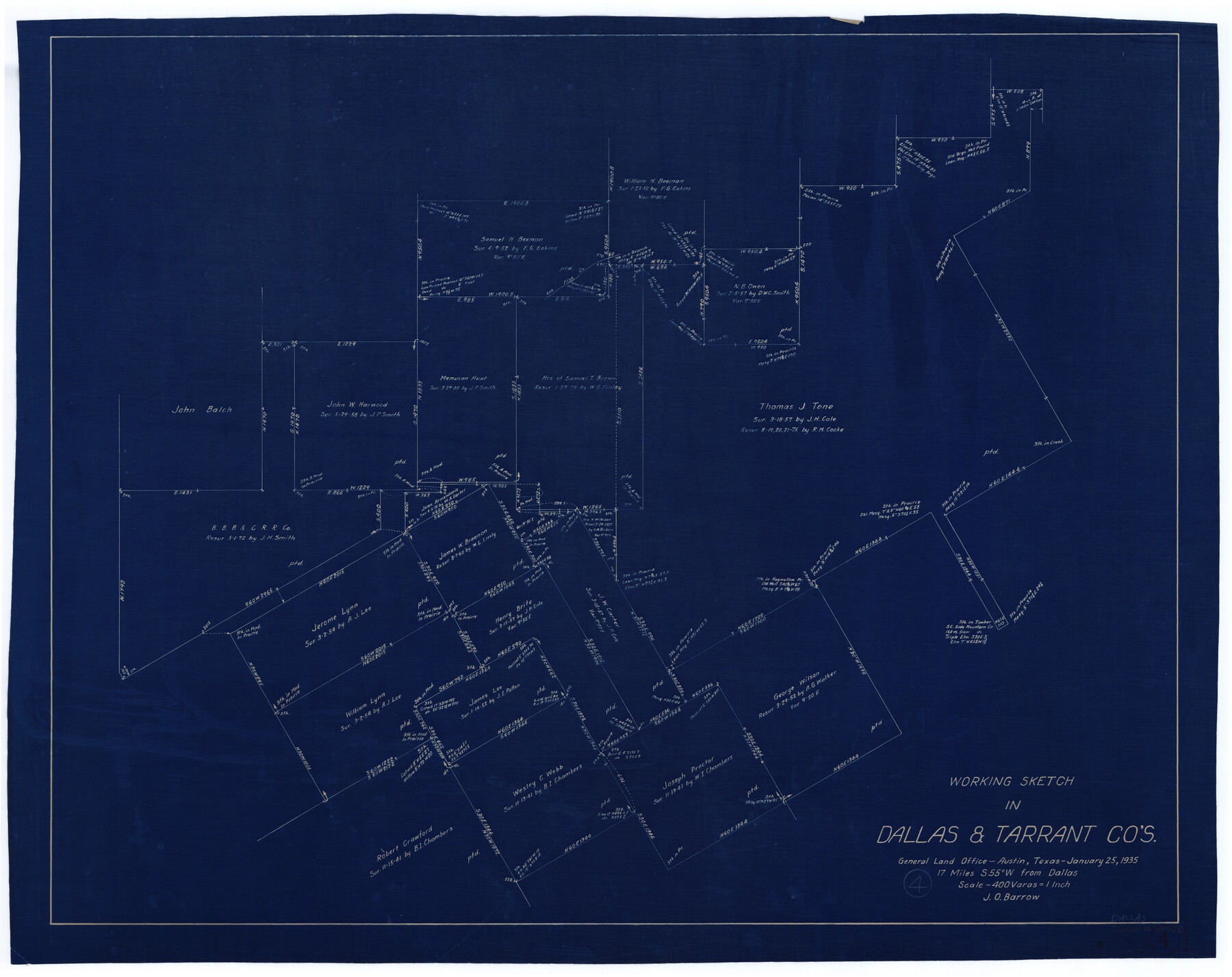
Dallas County Working Sketch 4
-
Map/Doc
68570
-
Collection
General Map Collection
-
Object Dates
1/25/1935 (Creation Date)
-
People and Organizations
J.O. Barrow (Draftsman)
-
Counties
Dallas Tarrant
-
Subjects
Surveying Working Sketch
-
Height x Width
24.1 x 30.4 inches
61.2 x 77.2 cm
-
Scale
1" = 400 varas
Part of: General Map Collection
Knox County Sketch File 26

Print $40.00
- Digital $50.00
Knox County Sketch File 26
1957
Size 17.3 x 14.4 inches
Map/Doc 29262
Chambers County Working Sketch 21

Print $20.00
- Digital $50.00
Chambers County Working Sketch 21
1974
Size 44.1 x 34.8 inches
Map/Doc 68004
Houston County Working Sketch 16

Print $20.00
- Digital $50.00
Houston County Working Sketch 16
1962
Size 13.4 x 15.6 inches
Map/Doc 66246
Motley County Sketch File F (S)

Print $14.00
- Digital $50.00
Motley County Sketch File F (S)
1904
Size 9.1 x 5.9 inches
Map/Doc 32179
Matagorda County NRC Article 33.136 Sketch 4

Print $28.00
- Digital $50.00
Matagorda County NRC Article 33.136 Sketch 4
2008
Size 31.0 x 36.5 inches
Map/Doc 89036
Jeff Davis County Rolled Sketch 12

Print $20.00
- Digital $50.00
Jeff Davis County Rolled Sketch 12
1920
Size 24.8 x 18.1 inches
Map/Doc 6365
Wise County Working Sketch 14

Print $20.00
- Digital $50.00
Wise County Working Sketch 14
1977
Size 19.0 x 18.0 inches
Map/Doc 72628

G. C. & S. F. Ry., San Saba Branch, Right of Way Map, Brady to Melvin

Print $40.00
- Digital $50.00
G. C. & S. F. Ry., San Saba Branch, Right of Way Map, Brady to Melvin
1916
Size 38.2 x 122.0 inches
Map/Doc 61420
Upton County Working Sketch 59

Print $20.00
- Digital $50.00
Upton County Working Sketch 59
1987
Size 21.5 x 34.3 inches
Map/Doc 69556
Brewster County Working Sketch 66

Print $20.00
- Digital $50.00
Brewster County Working Sketch 66
1958
Size 42.2 x 30.6 inches
Map/Doc 67667
Dimmit County Sketch File 34

Print $4.00
- Digital $50.00
Dimmit County Sketch File 34
1884
Size 9.0 x 8.7 inches
Map/Doc 21153
You may also like
Working Sketch from Lynn & Garza Counties

Print $20.00
- Digital $50.00
Working Sketch from Lynn & Garza Counties
1902
Size 35.8 x 30.6 inches
Map/Doc 93223
Harrison County Sketch File 3

Print $8.00
- Digital $50.00
Harrison County Sketch File 3
Size 13.0 x 8.3 inches
Map/Doc 26036
[Surveys along and below the Red River and the Lamar and Fannin County line, Lamar District]
![76049, [Surveys along and below the Red River and the Lamar and Fannin County line, Lamar District], General Map Collection](https://historictexasmaps.com/wmedia_w700/maps/76049.tif.jpg)
Print $3.00
- Digital $50.00
[Surveys along and below the Red River and the Lamar and Fannin County line, Lamar District]
Size 12.1 x 10.1 inches
Map/Doc 76049
Bexar County Working Sketch 15

Print $20.00
- Digital $50.00
Bexar County Working Sketch 15
1972
Size 38.3 x 43.3 inches
Map/Doc 67331
Harris County Rolled Sketch P4

Print $20.00
- Digital $50.00
Harris County Rolled Sketch P4
1920
Size 12.1 x 34.6 inches
Map/Doc 6143
Flight Mission No. DCL-7C, Frame 52, Kenedy County

Print $20.00
- Digital $50.00
Flight Mission No. DCL-7C, Frame 52, Kenedy County
1943
Size 16.7 x 16.4 inches
Map/Doc 86040
Jefferson County Working Sketch 4

Print $20.00
- Digital $50.00
Jefferson County Working Sketch 4
1930
Size 19.4 x 28.0 inches
Map/Doc 66547
Comal County Sketch File 21

Print $21.00
- Digital $50.00
Comal County Sketch File 21
1950
Size 9.1 x 11.4 inches
Map/Doc 19041
Nouvelle Carte du Mexique du Texas et d'une partie des états limitrophes

Print $20.00
- Digital $50.00
Nouvelle Carte du Mexique du Texas et d'une partie des états limitrophes
1834
Size 39.9 x 27.4 inches
Map/Doc 94098
Milam County Working Sketch 17

Print $40.00
- Digital $50.00
Milam County Working Sketch 17
1972
Size 54.7 x 32.2 inches
Map/Doc 89031
Galveston County Sketch File 21

Print $4.00
- Digital $50.00
Galveston County Sketch File 21
1838
Size 13.3 x 8.3 inches
Map/Doc 23392
[Pencil sketch of Wm. Rivers survey]
![91968, [Pencil sketch of Wm. Rivers survey], Twichell Survey Records](https://historictexasmaps.com/wmedia_w700/maps/91968-1.tif.jpg)
Print $3.00
- Digital $50.00
[Pencil sketch of Wm. Rivers survey]
Size 10.1 x 16.5 inches
Map/Doc 91968