
Tarrant County Sketch File 31

Dallas County Sketch File 19

Parker County Sketch File 48
1858

Wise County Sketch File F
1857
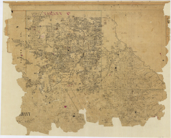
Map of Dallas, Tarrant and part of Ellis County and Peters Colony
1853

Dallas County Sketch File 10
1858

Dallas County Sketch File 11
1860

Dallas County Sketch File 19 1/2
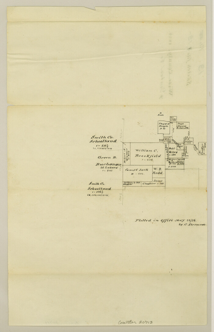
Denton County Sketch File 13
1856

Ellis County Sketch File 12
1860

Johnson County Sketch File 1

Johnson County Sketch File 14a
1862

Johnson County Sketch File 23
1857
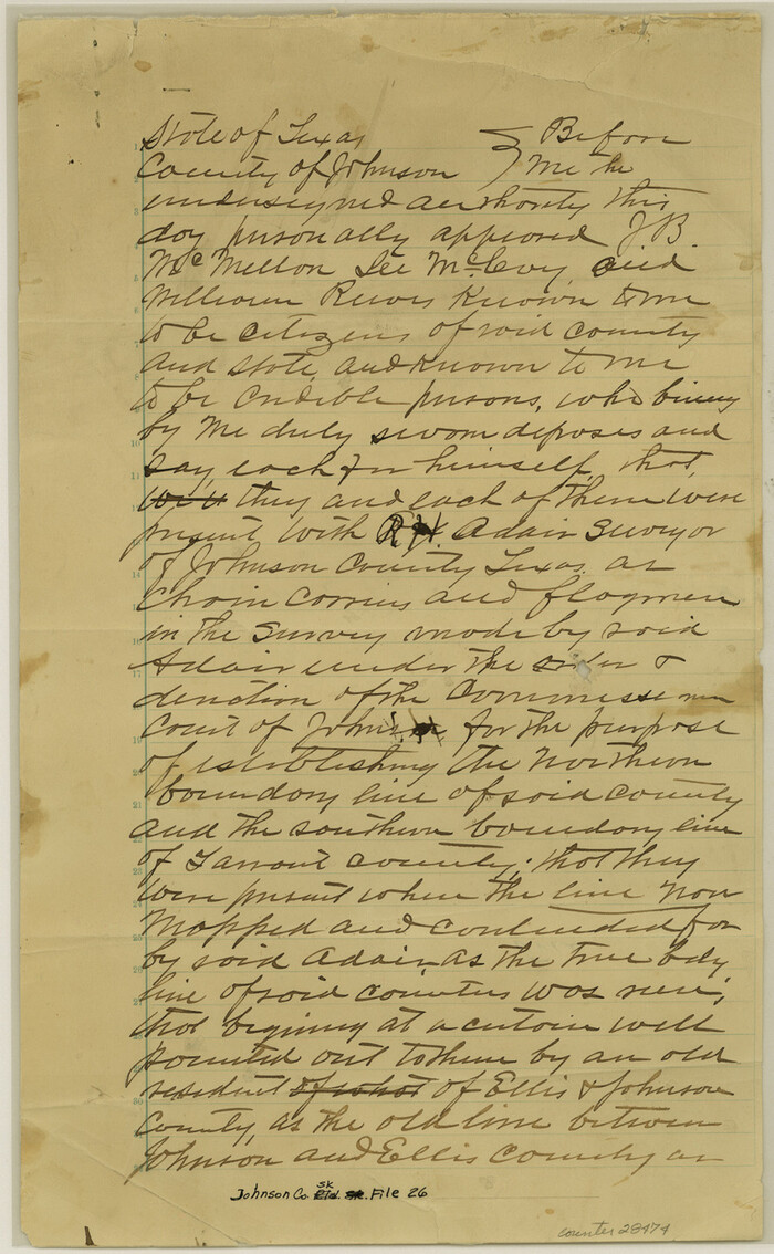
Johnson County Sketch File 26
1892

Map of The Surveyed Part of Peters Colony Texas
1852

Parker County Sketch File 2
1856
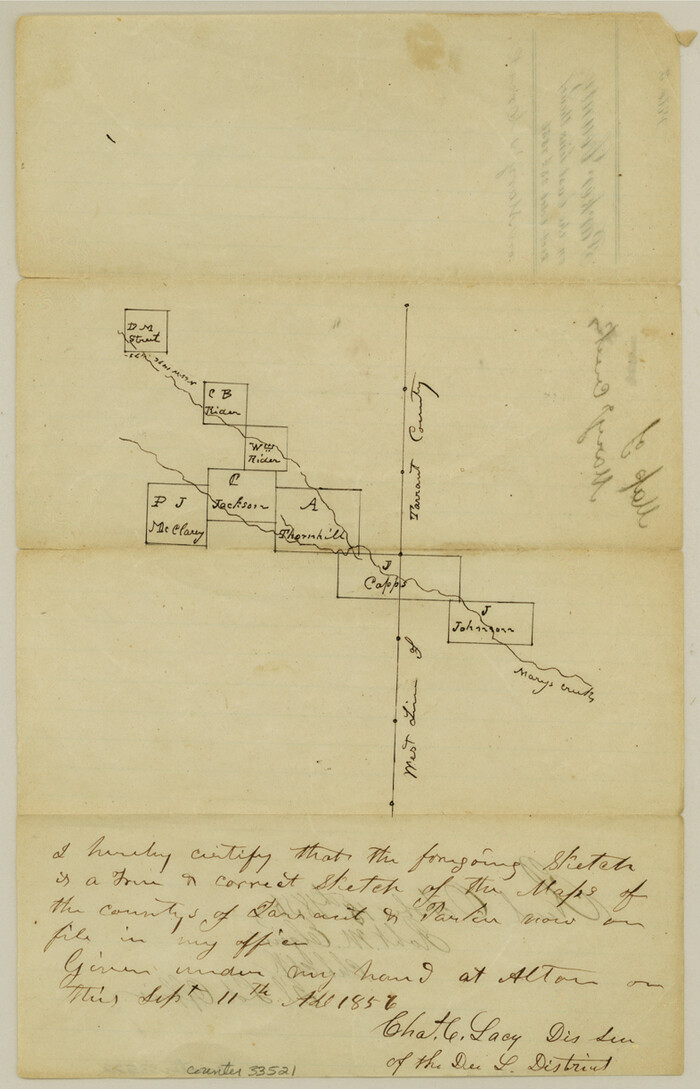
Parker County Sketch File 3
1856
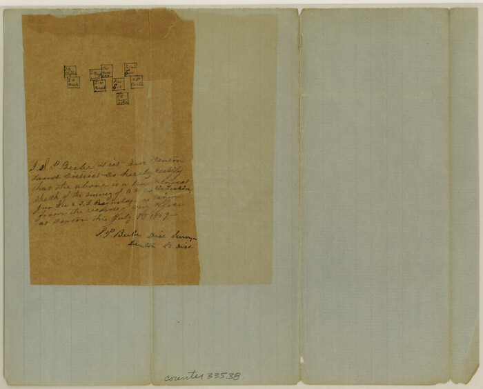
Parker County Sketch File 9
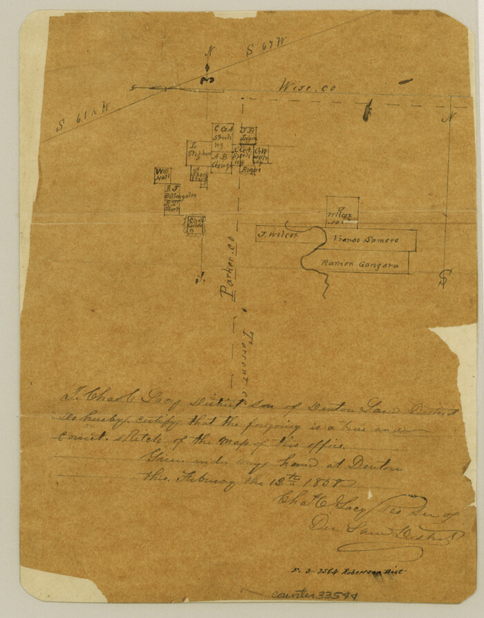
Parker County Sketch File 12
1858

Tarrant County Sketch File 1a
1851
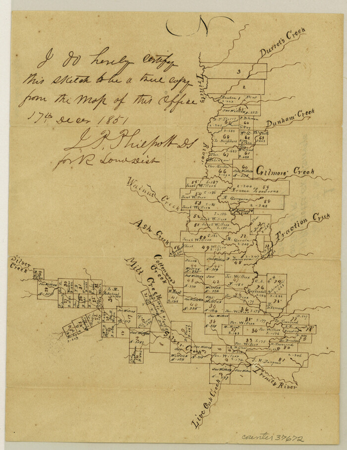
Tarrant County Sketch File 1
1851
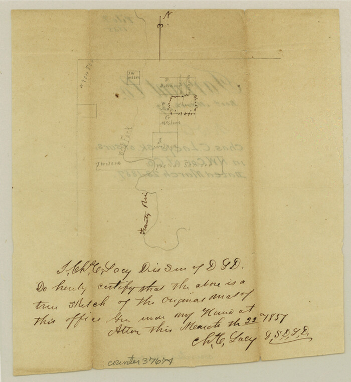
Tarrant County Sketch File 2
1857

Tarrant County Sketch File 3
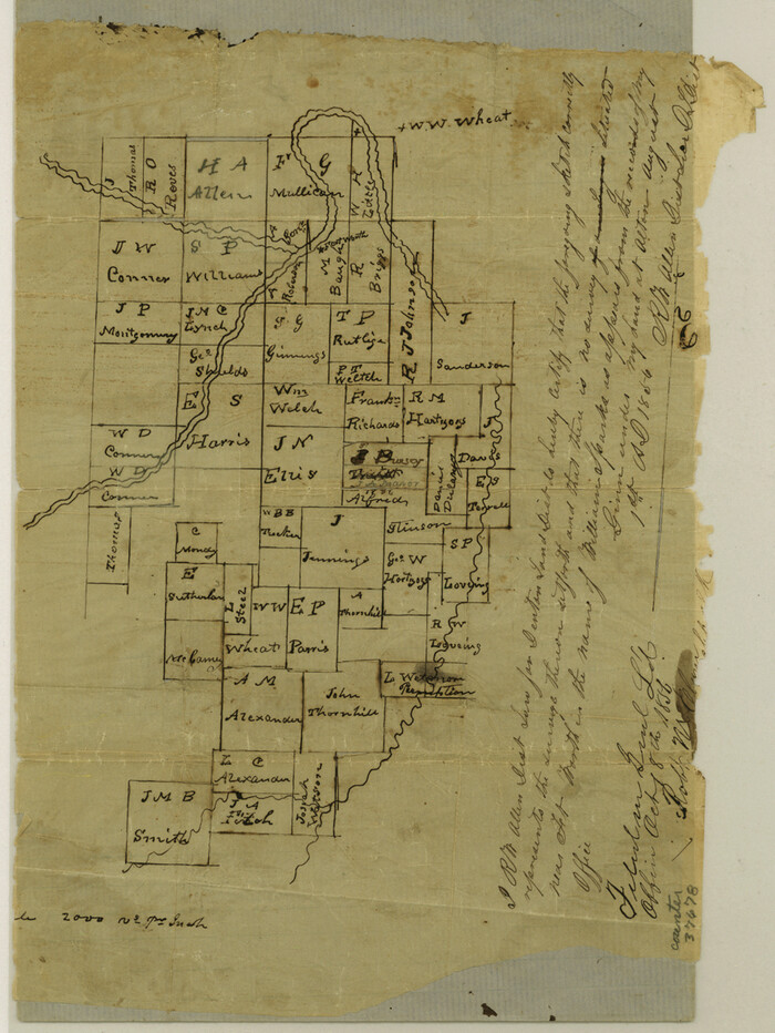
Tarrant County Sketch File 4
1856
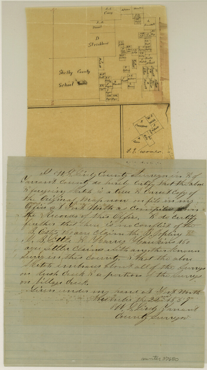
Tarrant County Sketch File 5
1859

Tarrant County Sketch File 6
1859
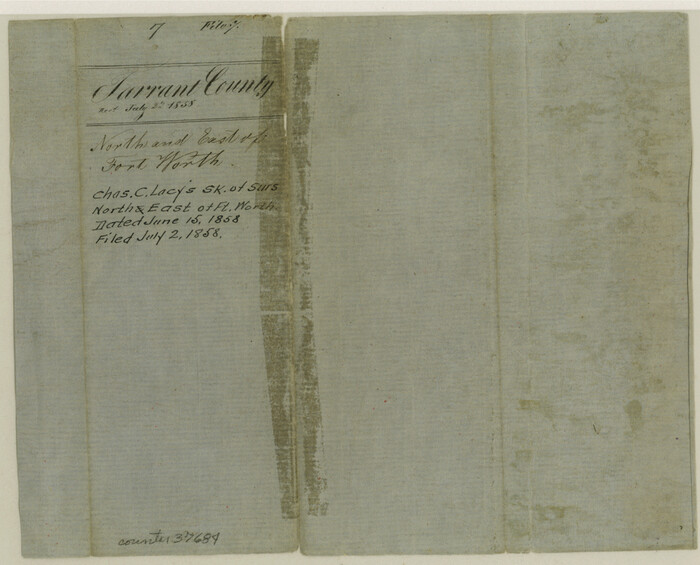
Tarrant County Sketch File 7
1856
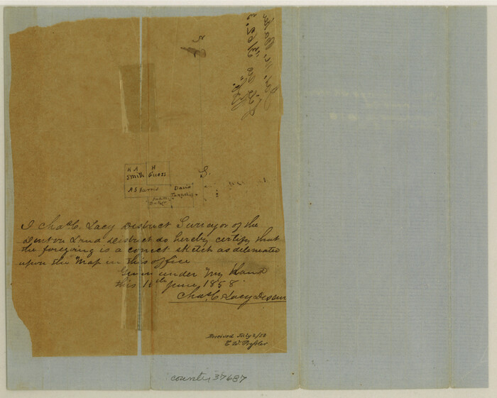
Tarrant County Sketch File 8
1858
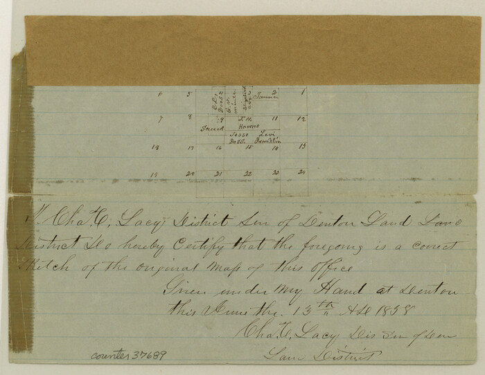
Tarrant County Sketch File 9
1858

Tarrant County Sketch File 10a
1860

Tarrant County Sketch File 31
-
Size
27.2 x 39.3 inches
-
Map/Doc
10380

Dallas County Sketch File 19
-
Size
17.1 x 17.9 inches
-
Map/Doc
11287

Parker County Sketch File 48
1858
-
Size
17.6 x 22.3 inches
-
Map/Doc
12152
-
Creation Date
1858

Wise County Sketch File F
1857
-
Size
16.2 x 29.2 inches
-
Map/Doc
12704
-
Creation Date
1857

Map of Dallas, Tarrant and part of Ellis County and Peters Colony
1853
-
Size
25.8 x 32.0 inches
-
Map/Doc
1970
-
Creation Date
1853

Dallas County Sketch File 10
1858
-
Size
12.5 x 8.2 inches
-
Map/Doc
20414
-
Creation Date
1858

Dallas County Sketch File 11
1860
-
Size
8.5 x 7.9 inches
-
Map/Doc
20416
-
Creation Date
1860

Dallas County Sketch File 19 1/2
-
Size
9.9 x 8.2 inches
-
Map/Doc
20439

Denton County Sketch File 13
1856
-
Size
12.3 x 7.9 inches
-
Map/Doc
20713
-
Creation Date
1856

Ellis County Sketch File 12
1860
-
Size
12.9 x 16.1 inches
-
Map/Doc
21849
-
Creation Date
1860

Johnson County Sketch File 1
-
Size
8.0 x 6.9 inches
-
Map/Doc
28427

Johnson County Sketch File 14a
1862
-
Size
8.0 x 11.1 inches
-
Map/Doc
28452
-
Creation Date
1862

Johnson County Sketch File 23
1857
-
Size
8.1 x 12.6 inches
-
Map/Doc
28456
-
Creation Date
1857

Johnson County Sketch File 26
1892
-
Size
14.3 x 8.8 inches
-
Map/Doc
28474
-
Creation Date
1892

Map of The Surveyed Part of Peters Colony Texas
1852
-
Size
54.0 x 28.8 inches
-
Map/Doc
3155
-
Creation Date
1852

Parker County Sketch File 2
1856
-
Size
12.7 x 8.2 inches
-
Map/Doc
33519
-
Creation Date
1856

Parker County Sketch File 3
1856
-
Size
12.2 x 7.9 inches
-
Map/Doc
33521
-
Creation Date
1856

Parker County Sketch File 9
-
Size
8.1 x 10.0 inches
-
Map/Doc
33538

Parker County Sketch File 12
1858
-
Size
9.1 x 7.1 inches
-
Map/Doc
33544
-
Creation Date
1858

Tarrant County Sketch File 1a
1851
-
Size
10.2 x 7.8 inches
-
Map/Doc
37670
-
Creation Date
1851

Tarrant County Sketch File 1
1851
-
Size
10.2 x 7.9 inches
-
Map/Doc
37672
-
Creation Date
1851

Tarrant County Sketch File 2
1857
-
Size
7.0 x 6.5 inches
-
Map/Doc
37674
-
Creation Date
1857

Tarrant County Sketch File 3
-
Size
11.8 x 8.2 inches
-
Map/Doc
37676

Tarrant County Sketch File 4
1856
-
Size
11.8 x 8.9 inches
-
Map/Doc
37678
-
Creation Date
1856

Tarrant County Sketch File 5
1859
-
Size
14.5 x 8.1 inches
-
Map/Doc
37680
-
Creation Date
1859

Tarrant County Sketch File 6
1859
-
Size
6.8 x 8.3 inches
-
Map/Doc
37682
-
Creation Date
1859

Tarrant County Sketch File 7
1856
-
Size
8.2 x 10.2 inches
-
Map/Doc
37684
-
Creation Date
1856

Tarrant County Sketch File 8
1858
-
Size
8.1 x 10.1 inches
-
Map/Doc
37687
-
Creation Date
1858

Tarrant County Sketch File 9
1858
-
Size
6.5 x 8.4 inches
-
Map/Doc
37689
-
Creation Date
1858

Tarrant County Sketch File 10a
1860
-
Size
10.3 x 8.1 inches
-
Map/Doc
37691
-
Creation Date
1860