
Tarrant County State Real Property Sketch 4
2018
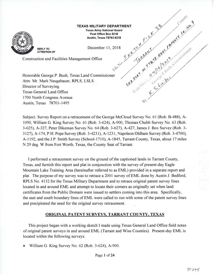
Tarrant County Sketch File 35
2018
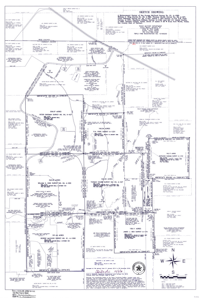
Tarrant County State Real Property Sketch 3
2018

Tarrant County Sketch File 36
2018
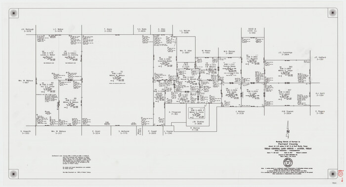
Tarrant County Working Sketch 27
2010
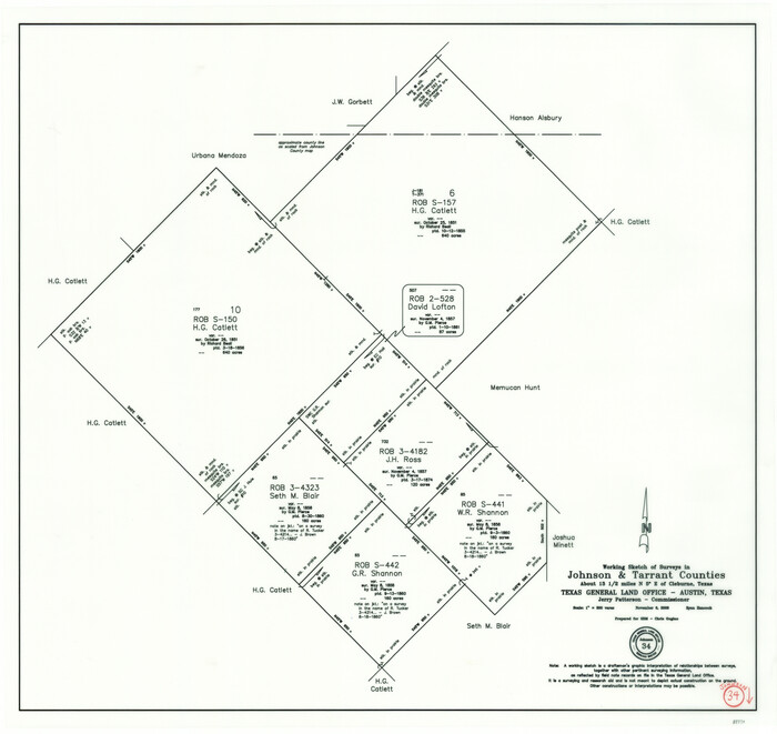
Johnson County Working Sketch 34
2008

Tarrant County State Real Property Sketch 1
2007

Denton County Sketch File 43
2006
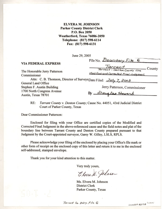
Tarrant County Boundary File 6
2004

Tarrant County Working Sketch 26
2004

Tarrant County Working Sketch 25
2004

Tarrant County Working Sketch 24
2003
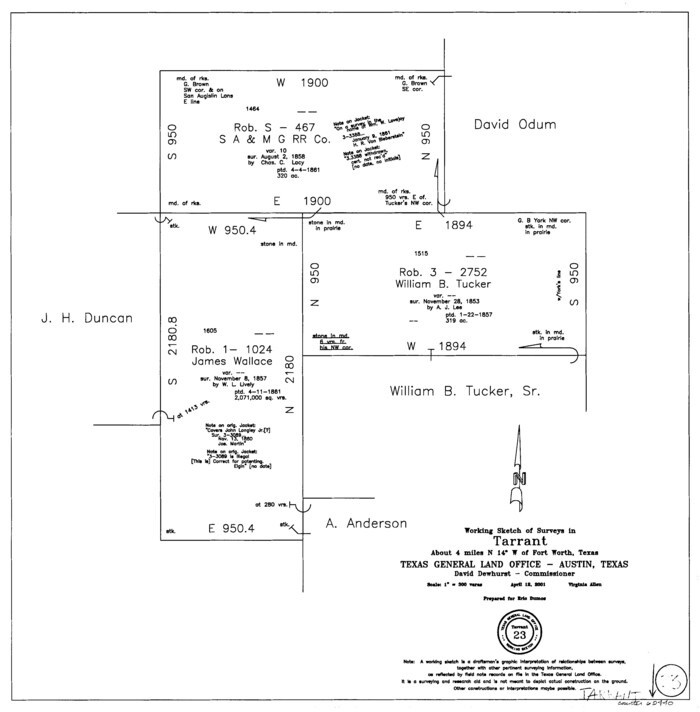
Tarrant County Working Sketch 23
2001
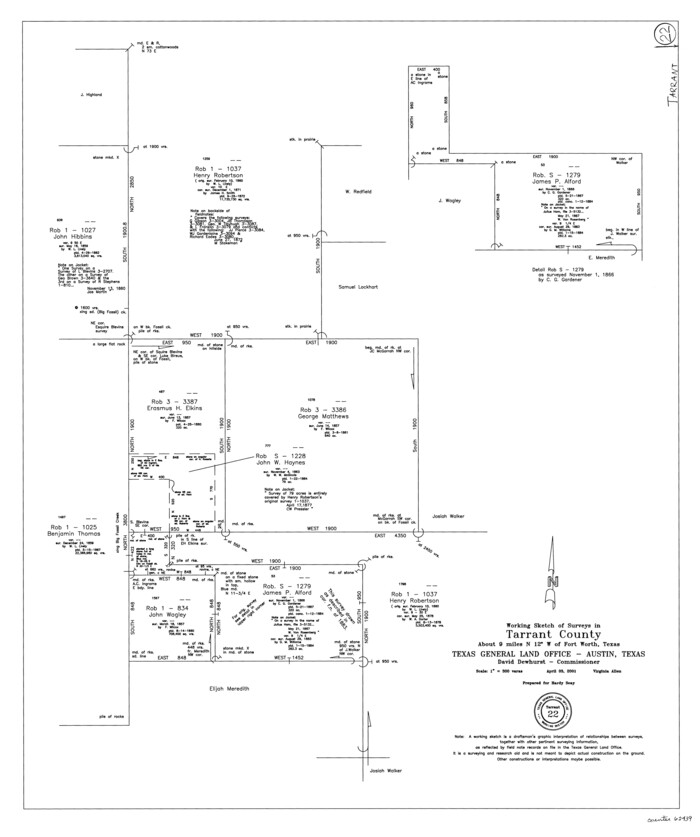
Tarrant County Working Sketch 22
2001
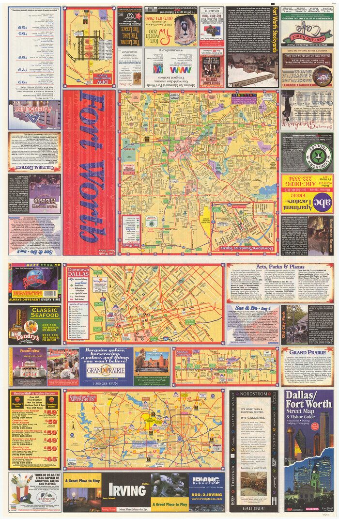
Dallas/Fort Worth Street Map & Visitor Guide
2000

Tarrant County Working Sketch 20
1999
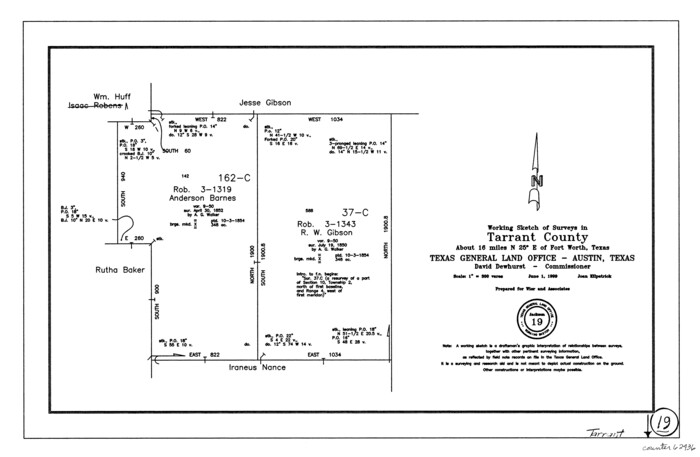
Tarrant County Working Sketch 19
1999

Tarrant County Working Sketch 21
1999

Tarrant County Working Sketch 18
1996
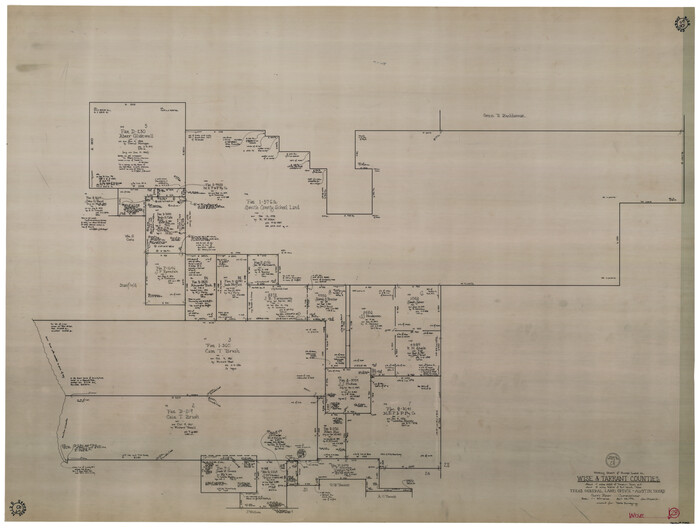
Wise County Working Sketch 28
1996
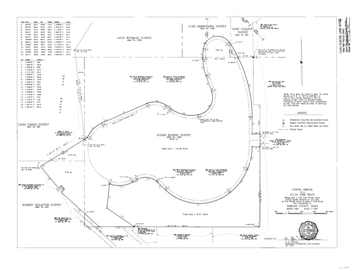
Tarrant County State Real Property Sketch 2
1994
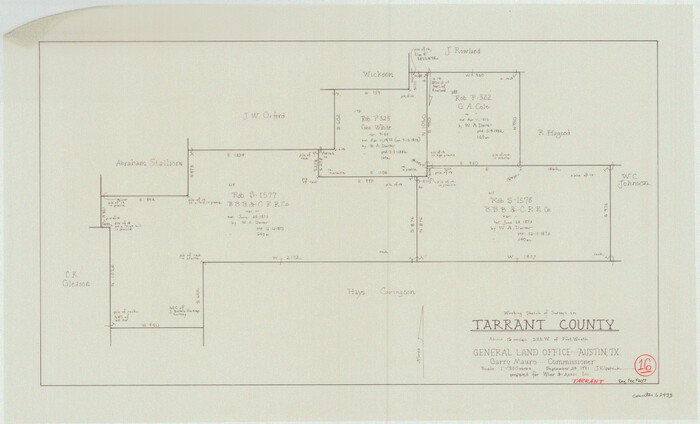
Tarrant County Working Sketch 16
1991
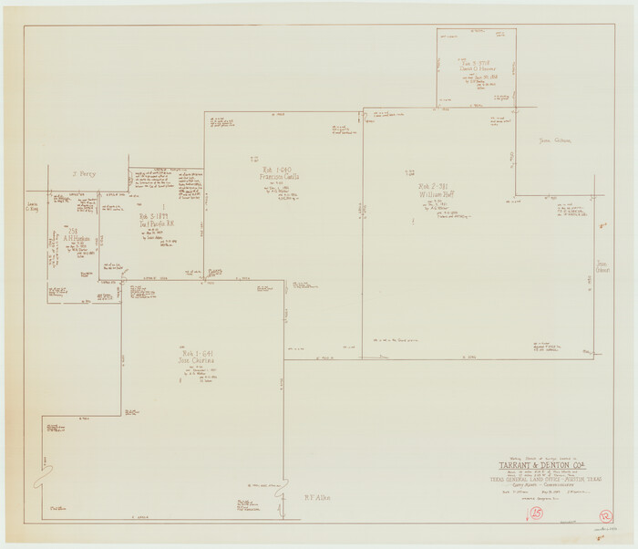
Tarrant County Working Sketch 15
1989
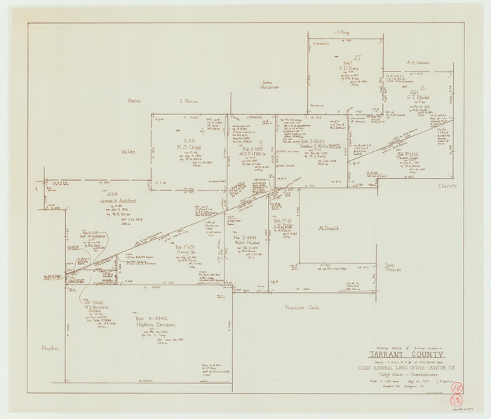
Tarrant County Working Sketch 14
1989

Denton County Working Sketch 24
1989

Tarrant County State Real Property Sketch 4
2018
-
Size
47.8 x 35.9 inches
-
Map/Doc
95403
-
Creation Date
2018

Tarrant County Sketch File 35
2018
-
Size
11.0 x 8.5 inches
-
Map/Doc
95394
-
Creation Date
2018

Tarrant County State Real Property Sketch 3
2018
-
Size
35.1 x 23.8 inches
-
Map/Doc
95402
-
Creation Date
2018

Tarrant County Sketch File 36
2018
-
Size
11.0 x 8.5 inches
-
Map/Doc
95395
-
Creation Date
2018

Tarrant County Working Sketch 27
2010
-
Size
19.4 x 35.9 inches
-
Map/Doc
89261
-
Creation Date
2010

Johnson County Working Sketch 34
2008
-
Size
20.0 x 21.2 inches
-
Map/Doc
88890
-
Creation Date
2008

Dallas County Boundary File 9
2008
-
Map/Doc
88850
-
Creation Date
2008

Tarrant County State Real Property Sketch 1
2007
-
Size
24.5 x 35.3 inches
-
Map/Doc
88666
-
Creation Date
2007

Denton County Sketch File 43
2006
-
Size
11.0 x 8.5 inches
-
Map/Doc
83610
-
Creation Date
2006

Tarrant County Boundary File 6
2004
-
Size
11.0 x 8.5 inches
-
Map/Doc
83178
-
Creation Date
2004

Tarrant County Working Sketch 26
2004
-
Size
27.1 x 43.9 inches
-
Map/Doc
83586
-
Creation Date
2004

Tarrant County Working Sketch 25
2004
-
Size
27.3 x 38.0 inches
-
Map/Doc
83585
-
Creation Date
2004

Tarrant County Working Sketch 24
2003
-
Size
26.0 x 34.9 inches
-
Map/Doc
78642
-
Creation Date
2003

Tarrant County Working Sketch 23
2001
-
Size
15.9 x 15.6 inches
-
Map/Doc
62440
-
Creation Date
2001

Tarrant County Working Sketch 22
2001
-
Size
27.5 x 23.0 inches
-
Map/Doc
62439
-
Creation Date
2001

Dallas/Fort Worth Street Map & Visitor Guide
2000
-
Size
35.6 x 23.2 inches
-
Map/Doc
94295
-
Creation Date
2000

Fort Worth Street Guide
2000
-
Size
37.6 x 58.7 inches
-
Map/Doc
96853
-
Creation Date
2000
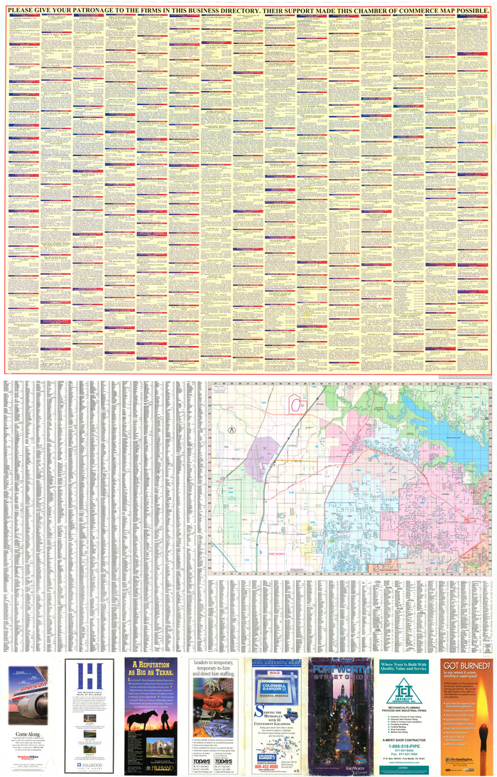
Fort Worth Street Guide
2000
-
Size
58.7 x 37.6 inches
-
Map/Doc
96854
-
Creation Date
2000

Tarrant County Working Sketch 20
1999
-
Size
15.4 x 16.8 inches
-
Map/Doc
62437
-
Creation Date
1999

Tarrant County Working Sketch 19
1999
-
Size
11.8 x 18.1 inches
-
Map/Doc
62436
-
Creation Date
1999

Tarrant County Working Sketch 21
1999
-
Size
17.4 x 22.8 inches
-
Map/Doc
62438
-
Creation Date
1999
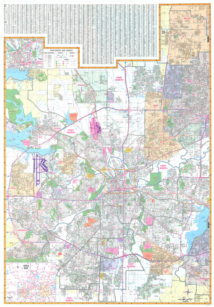
Fort Worth and Vicinity
1997
-
Size
38.7 x 26.9 inches
-
Map/Doc
96851
-
Creation Date
1997

Fort Worth and Vicinity
1997
-
Size
38.6 x 27.1 inches
-
Map/Doc
96852
-
Creation Date
1997

Tarrant County Working Sketch 18
1996
-
Size
20.4 x 18.5 inches
-
Map/Doc
62435
-
Creation Date
1996

Wise County Working Sketch 28
1996
-
Size
37.5 x 48.8 inches
-
Map/Doc
72642
-
Creation Date
1996

Tarrant County State Real Property Sketch 2
1994
-
Size
21.3 x 27.6 inches
-
Map/Doc
61668
-
Creation Date
1994

Tarrant County Working Sketch 16
1991
-
Size
14.5 x 23.9 inches
-
Map/Doc
62433
-
Creation Date
1991

Tarrant County Working Sketch 15
1989
-
Size
33.0 x 38.3 inches
-
Map/Doc
62432
-
Creation Date
1989

Tarrant County Working Sketch 14
1989
-
Size
26.5 x 31.0 inches
-
Map/Doc
62431
-
Creation Date
1989

Denton County Working Sketch 24
1989
-
Size
22.2 x 30.0 inches
-
Map/Doc
68629
-
Creation Date
1989