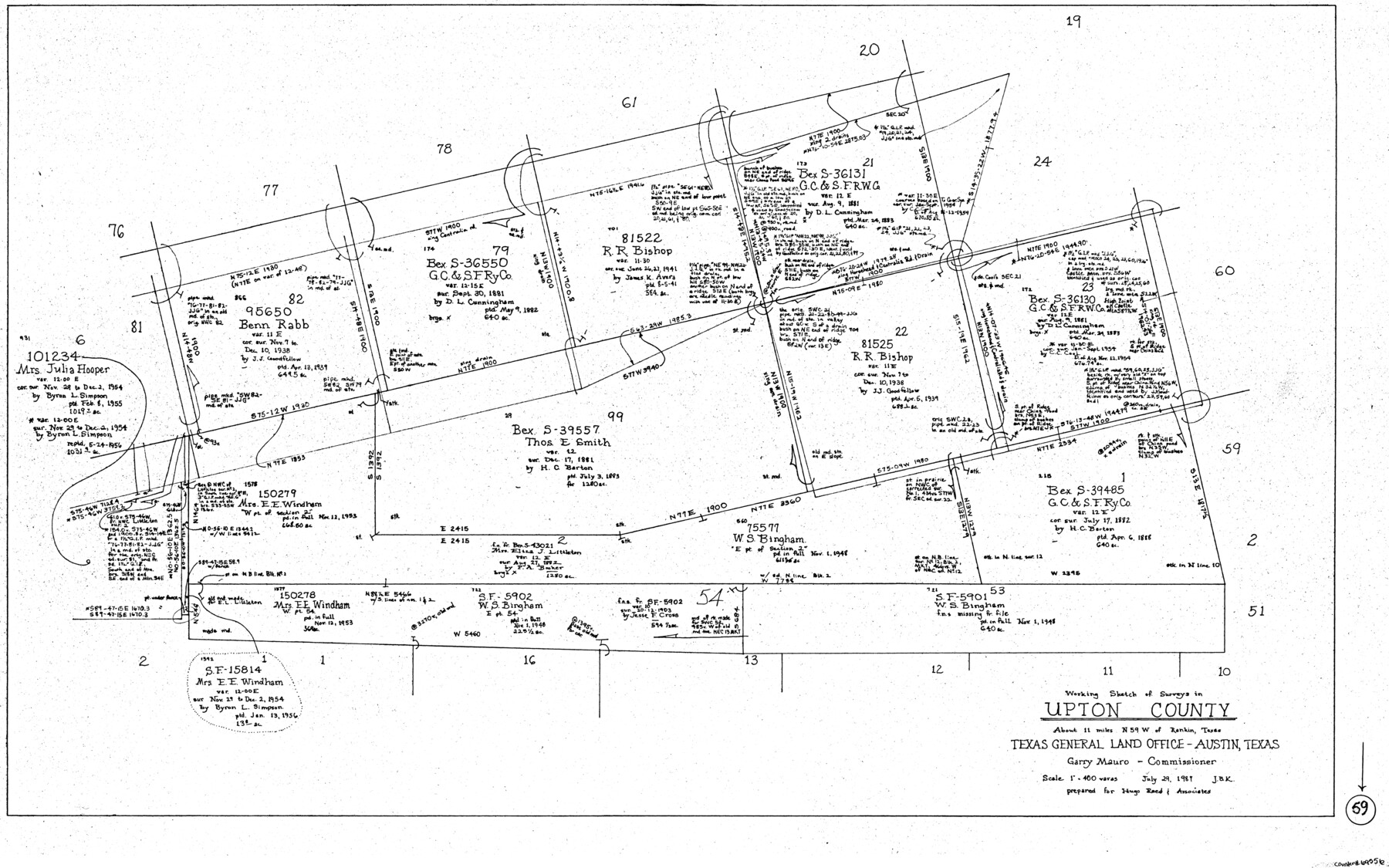
Upton County Working Sketch 59
-
Map/Doc
69556
-
Collection
General Map Collection
-
Object Dates
7/29/1987 (Creation Date)
-
People and Organizations
Joan Kilpatrick (Draftsman)
-
Counties
Upton
-
Subjects
Surveying Working Sketch
-
Height x Width
21.5 x 34.3 inches
54.6 x 87.1 cm
-
Scale
1" = 400 varas
Part of: General Map Collection

[Sketch for Mineral Application 16787 - Pecos River Bed, A. T. Freet]
![2815, [Sketch for Mineral Application 16787 - Pecos River Bed, A. T. Freet], General Map Collection](https://historictexasmaps.com/wmedia_w700/maps/2815-1.tif.jpg)
Print $20.00
- Digital $50.00
[Sketch for Mineral Application 16787 - Pecos River Bed, A. T. Freet]
1927
Size 20.0 x 46.7 inches
Map/Doc 2815
Atascosa County Boundary File 5

Print $32.00
- Digital $50.00
Atascosa County Boundary File 5
Size 8.8 x 6.3 inches
Map/Doc 50198
Madison County Working Sketch 12

Print $40.00
- Digital $50.00
Madison County Working Sketch 12
1965
Size 41.7 x 48.5 inches
Map/Doc 70774
Trinity River, Boyd Crossing Sheet/Chambers Creek

Print $20.00
- Digital $50.00
Trinity River, Boyd Crossing Sheet/Chambers Creek
1931
Size 17.5 x 43.1 inches
Map/Doc 65238
Stonewall County Sketch File 12A

Print $20.00
- Digital $50.00
Stonewall County Sketch File 12A
Size 25.6 x 17.4 inches
Map/Doc 12364
Coryell County Sketch File 24

Print $24.00
- Digital $50.00
Coryell County Sketch File 24
1965
Size 11.2 x 8.8 inches
Map/Doc 19389
Edwards County Working Sketch 42

Print $20.00
- Digital $50.00
Edwards County Working Sketch 42
1949
Size 25.5 x 31.4 inches
Map/Doc 68918
Hale County Sketch File 10

Print $6.00
- Digital $50.00
Hale County Sketch File 10
1895
Size 16.3 x 9.4 inches
Map/Doc 24737
Harris County Historic Topographic 28

Print $20.00
- Digital $50.00
Harris County Historic Topographic 28
1915
Size 29.5 x 22.8 inches
Map/Doc 65839
Galveston County NRC Article 33.136 Sketch 71

Print $22.00
- Digital $50.00
Galveston County NRC Article 33.136 Sketch 71
2012
Size 24.0 x 36.0 inches
Map/Doc 94689
Tom Green County Working Sketch 2

Print $20.00
- Digital $50.00
Tom Green County Working Sketch 2
1917
Size 21.1 x 32.9 inches
Map/Doc 69371
You may also like
Map showing railroads and connecting lines of the Northern Texas Traction Co. from Ft. Worth to Dallas, Texas

Print $20.00
Map showing railroads and connecting lines of the Northern Texas Traction Co. from Ft. Worth to Dallas, Texas
1905
Size 3.5 x 7.5 inches
Map/Doc 93602
Fort Bend County Rolled Sketch 4

Print $20.00
- Digital $50.00
Fort Bend County Rolled Sketch 4
1956
Size 30.1 x 43.8 inches
Map/Doc 5894
Flight Mission No. DQO-11K, Frame 26, Galveston County

Print $20.00
- Digital $50.00
Flight Mission No. DQO-11K, Frame 26, Galveston County
1952
Size 18.8 x 22.5 inches
Map/Doc 85223
Fractional Township No. 7 South Range No. 19 East of the Indian Meridian, Indian Territory

Print $20.00
- Digital $50.00
Fractional Township No. 7 South Range No. 19 East of the Indian Meridian, Indian Territory
1897
Size 19.2 x 24.3 inches
Map/Doc 75235
Dimmit County Rolled Sketch 16

Print $40.00
- Digital $50.00
Dimmit County Rolled Sketch 16
1964
Size 30.5 x 48.3 inches
Map/Doc 8798
St. L. S-W. Ry. of Texas Map of Hillsboro Branch in Navarro County, Texas M.P. 621 to M.P. 648

Print $40.00
- Digital $50.00
St. L. S-W. Ry. of Texas Map of Hillsboro Branch in Navarro County, Texas M.P. 621 to M.P. 648
1913
Size 28.0 x 431.2 inches
Map/Doc 94016
Archer County Sketch File 26

Print $4.00
- Digital $50.00
Archer County Sketch File 26
1934
Size 9.7 x 4.4 inches
Map/Doc 13663
Uvalde County Working Sketch 9

Print $20.00
- Digital $50.00
Uvalde County Working Sketch 9
1942
Size 18.3 x 24.4 inches
Map/Doc 72079
Val Verde County Working Sketch 100

Print $20.00
- Digital $50.00
Val Verde County Working Sketch 100
1981
Size 22.3 x 32.0 inches
Map/Doc 72235
Cottle County Sketch File G

Print $8.00
- Digital $50.00
Cottle County Sketch File G
Size 11.5 x 7.3 inches
Map/Doc 19447
[E. L. & R. R. RR. Company, Block LC2]
![90663, [E. L. & R. R. RR. Company, Block LC2], Twichell Survey Records](https://historictexasmaps.com/wmedia_w700/maps/90663-1.tif.jpg)
Print $2.00
- Digital $50.00
[E. L. & R. R. RR. Company, Block LC2]
1907
Size 9.7 x 7.9 inches
Map/Doc 90663
Liberty County Working Sketch 83

Print $40.00
- Digital $50.00
Liberty County Working Sketch 83
1981
Size 68.4 x 37.8 inches
Map/Doc 70543