[E.L.R.R.R.R.Co. Blocks A-1, 1, H, Y, Public School Land Blocks C-40, C-41, C-39, C-42]
-
Map/Doc
92904
-
Collection
Twichell Survey Records
-
Counties
Lynn Terry
-
Height x Width
21.6 x 21.2 inches
54.9 x 53.9 cm
Part of: Twichell Survey Records
[E. L. & R. R. RR. Co. Block D7 and G. H. & H. RR. Co. Block A1]
![91860, [E. L. & R. R. RR. Co. Block D7 and G. H. & H. RR. Co. Block A1], Twichell Survey Records](https://historictexasmaps.com/wmedia_w700/maps/91860-1.tif.jpg)
![91860, [E. L. & R. R. RR. Co. Block D7 and G. H. & H. RR. Co. Block A1], Twichell Survey Records](https://historictexasmaps.com/wmedia_w700/maps/91860-1.tif.jpg)
Print $20.00
- Digital $50.00
[E. L. & R. R. RR. Co. Block D7 and G. H. & H. RR. Co. Block A1]
Size 18.7 x 26.7 inches
Map/Doc 91860
Double Lakes No. 2, T-Ranch
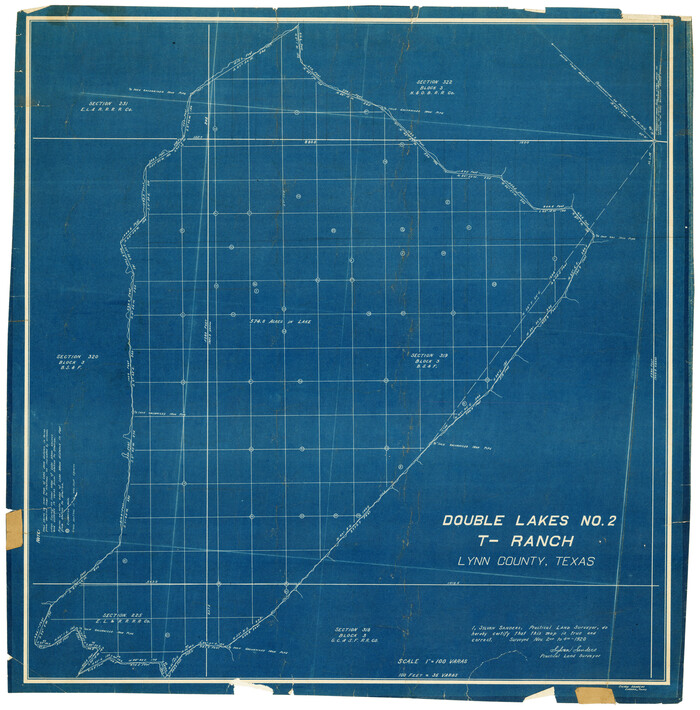

Print $20.00
- Digital $50.00
Double Lakes No. 2, T-Ranch
Size 19.9 x 20.3 inches
Map/Doc 92894
Working Sketch Carson County
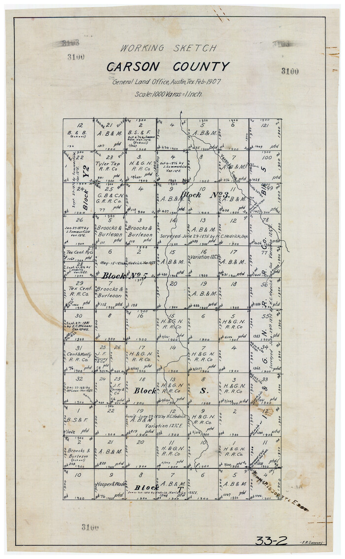

Print $3.00
- Digital $50.00
Working Sketch Carson County
1907
Size 10.6 x 17.1 inches
Map/Doc 90223
[T. T. RR. Co. Block 8 and vicinity]
![90795, [T. T. RR. Co. Block 8 and vicinity], Twichell Survey Records](https://historictexasmaps.com/wmedia_w700/maps/90795-1.tif.jpg)
![90795, [T. T. RR. Co. Block 8 and vicinity], Twichell Survey Records](https://historictexasmaps.com/wmedia_w700/maps/90795-1.tif.jpg)
Print $20.00
- Digital $50.00
[T. T. RR. Co. Block 8 and vicinity]
Size 20.3 x 15.2 inches
Map/Doc 90795
W. S. Mabry Land Corners and Connections, Potter County
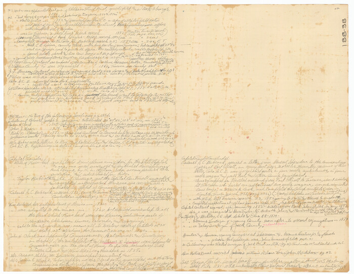

Print $20.00
- Digital $50.00
W. S. Mabry Land Corners and Connections, Potter County
Size 22.6 x 17.5 inches
Map/Doc 91806
[Sketch showing School Lands]
![90448, [Sketch showing School Lands], Twichell Survey Records](https://historictexasmaps.com/wmedia_w700/maps/90448-1.tif.jpg)
![90448, [Sketch showing School Lands], Twichell Survey Records](https://historictexasmaps.com/wmedia_w700/maps/90448-1.tif.jpg)
Print $20.00
- Digital $50.00
[Sketch showing School Lands]
Size 16.3 x 12.2 inches
Map/Doc 90448
[C. C. S. D. & R. G. N. G Ry. Co. Block in NW of County]
![90821, [C. C. S. D. & R. G. N. G Ry. Co. Block in NW of County], Twichell Survey Records](https://historictexasmaps.com/wmedia_w700/maps/90821-2.tif.jpg)
![90821, [C. C. S. D. & R. G. N. G Ry. Co. Block in NW of County], Twichell Survey Records](https://historictexasmaps.com/wmedia_w700/maps/90821-2.tif.jpg)
Print $20.00
- Digital $50.00
[C. C. S. D. & R. G. N. G Ry. Co. Block in NW of County]
Size 17.3 x 22.0 inches
Map/Doc 90821
[Map of resurvey of H. & G.N. RR. Co. Blk. B2]
![89941, [Map of resurvey of H. & G.N. RR. Co. Blk. B2], Twichell Survey Records](https://historictexasmaps.com/wmedia_w700/maps/89941-1.tif.jpg)
![89941, [Map of resurvey of H. & G.N. RR. Co. Blk. B2], Twichell Survey Records](https://historictexasmaps.com/wmedia_w700/maps/89941-1.tif.jpg)
Print $20.00
- Digital $50.00
[Map of resurvey of H. & G.N. RR. Co. Blk. B2]
1888
Size 36.6 x 37.7 inches
Map/Doc 89941
[Madison County School Land, W. Perry and other surveys to the East]
![90428, [Madison County School Land, W. Perry and other surveys to the East], Twichell Survey Records](https://historictexasmaps.com/wmedia_w700/maps/90428-1.tif.jpg)
![90428, [Madison County School Land, W. Perry and other surveys to the East], Twichell Survey Records](https://historictexasmaps.com/wmedia_w700/maps/90428-1.tif.jpg)
Print $20.00
- Digital $50.00
[Madison County School Land, W. Perry and other surveys to the East]
Size 12.9 x 18.0 inches
Map/Doc 90428
City of Andrews


Print $20.00
- Digital $50.00
City of Andrews
1951
Size 25.1 x 24.2 inches
Map/Doc 92454
[Blocks E, Y, C42, 4X, T Showing Portion of Terry-Lynn County Line]
![92276, [Blocks E, Y, C42, 4X, T Showing Portion of Terry-Lynn County Line], Twichell Survey Records](https://historictexasmaps.com/wmedia_w700/maps/92276-1.tif.jpg)
![92276, [Blocks E, Y, C42, 4X, T Showing Portion of Terry-Lynn County Line], Twichell Survey Records](https://historictexasmaps.com/wmedia_w700/maps/92276-1.tif.jpg)
Print $20.00
- Digital $50.00
[Blocks E, Y, C42, 4X, T Showing Portion of Terry-Lynn County Line]
Size 22.9 x 8.3 inches
Map/Doc 92276
Olton Independent School District Lamb County, Texas
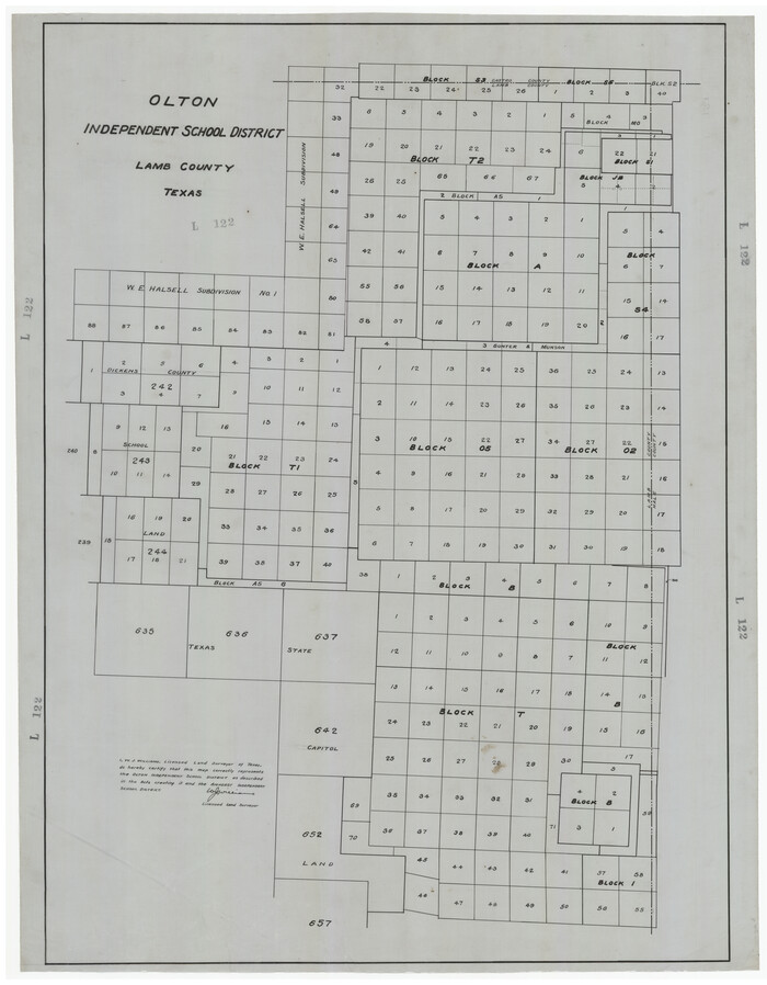

Print $20.00
- Digital $50.00
Olton Independent School District Lamb County, Texas
Size 22.3 x 28.5 inches
Map/Doc 92202
You may also like
Tyler County Sketch File 3a
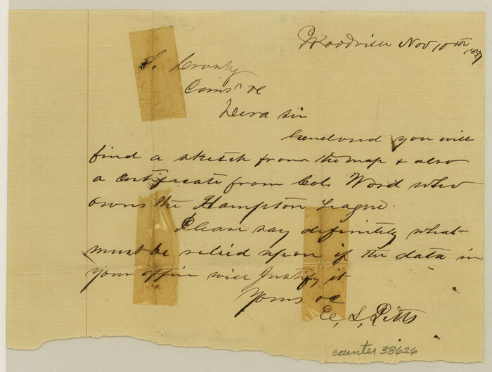

Print $4.00
- Digital $50.00
Tyler County Sketch File 3a
1857
Size 6.2 x 8.2 inches
Map/Doc 38626
Cecil Stein Drilling Block
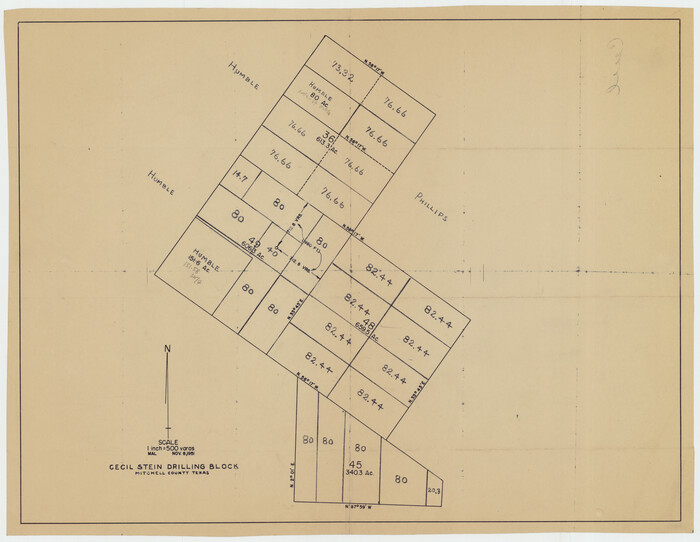

Print $3.00
- Digital $50.00
Cecil Stein Drilling Block
1951
Size 12.3 x 9.5 inches
Map/Doc 92280
Old Miscellaneous File 16


Print $28.00
- Digital $50.00
Old Miscellaneous File 16
1908
Size 9.8 x 2.6 inches
Map/Doc 75457
Zapata County Rolled Sketch 21

Print $155.00
- Digital $50.00
Zapata County Rolled Sketch 21
Size 10.4 x 15.2 inches
Map/Doc 49589
Duval County Boundary File 3h
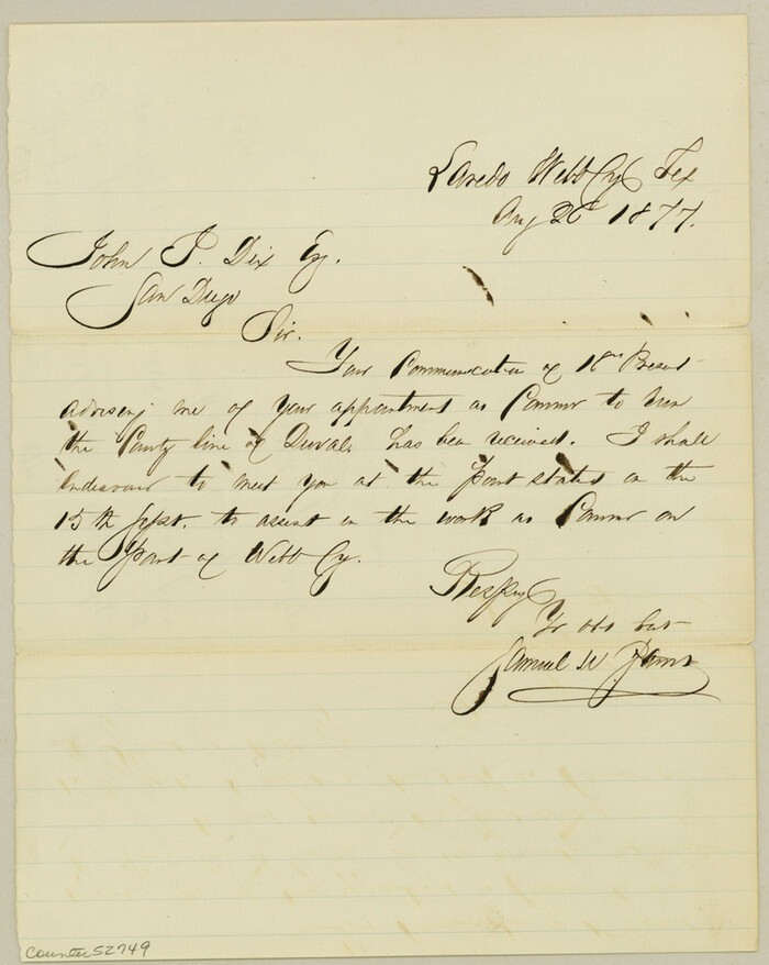

Print $4.00
- Digital $50.00
Duval County Boundary File 3h
Size 10.0 x 8.0 inches
Map/Doc 52749
[Gunter & Munson, Maddox Bros. & Anderson Block O]
![91946, [Gunter & Munson, Maddox Bros. & Anderson Block O], Twichell Survey Records](https://historictexasmaps.com/wmedia_w700/maps/91946-1.tif.jpg)
![91946, [Gunter & Munson, Maddox Bros. & Anderson Block O], Twichell Survey Records](https://historictexasmaps.com/wmedia_w700/maps/91946-1.tif.jpg)
Print $20.00
- Digital $50.00
[Gunter & Munson, Maddox Bros. & Anderson Block O]
Size 25.8 x 40.6 inches
Map/Doc 91946
[B. S. & F. Block B]
![91250, [B. S. & F. Block B], Twichell Survey Records](https://historictexasmaps.com/wmedia_w700/maps/91250-1.tif.jpg)
![91250, [B. S. & F. Block B], Twichell Survey Records](https://historictexasmaps.com/wmedia_w700/maps/91250-1.tif.jpg)
Print $3.00
- Digital $50.00
[B. S. & F. Block B]
Size 11.2 x 17.8 inches
Map/Doc 91250
Martin County Working Sketch 16
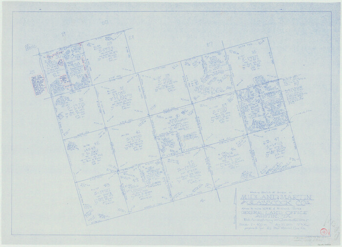

Print $20.00
- Digital $50.00
Martin County Working Sketch 16
1979
Size 26.6 x 36.8 inches
Map/Doc 70834
La Salle County Rolled Sketch 6A
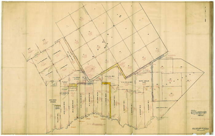

Print $40.00
- Digital $50.00
La Salle County Rolled Sketch 6A
1941
Size 43.5 x 68.2 inches
Map/Doc 10729
Montgomery County Working Sketch 68


Print $20.00
- Digital $50.00
Montgomery County Working Sketch 68
1972
Size 25.9 x 33.7 inches
Map/Doc 71175
Travis County Sketch File 51
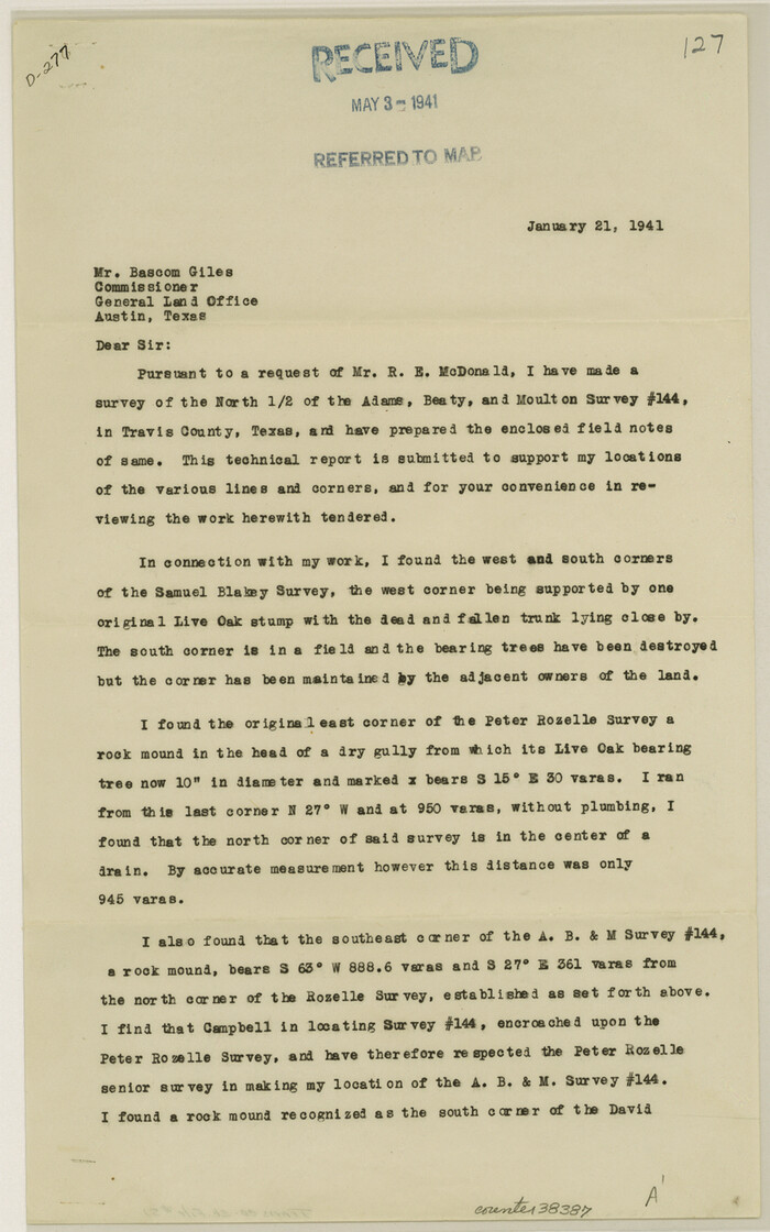

Print $8.00
- Digital $50.00
Travis County Sketch File 51
1941
Size 14.3 x 8.9 inches
Map/Doc 38387
Atascosa County Working Sketch 10
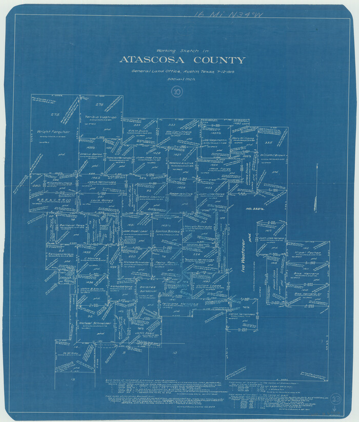

Print $20.00
- Digital $50.00
Atascosa County Working Sketch 10
1919
Size 26.2 x 22.3 inches
Map/Doc 67206
![92904, [E.L.R.R.R.R.Co. Blocks A-1, 1, H, Y, Public School Land Blocks C-40, C-41, C-39, C-42], Twichell Survey Records](https://historictexasmaps.com/wmedia_w1800h1800/maps/92904-1.tif.jpg)