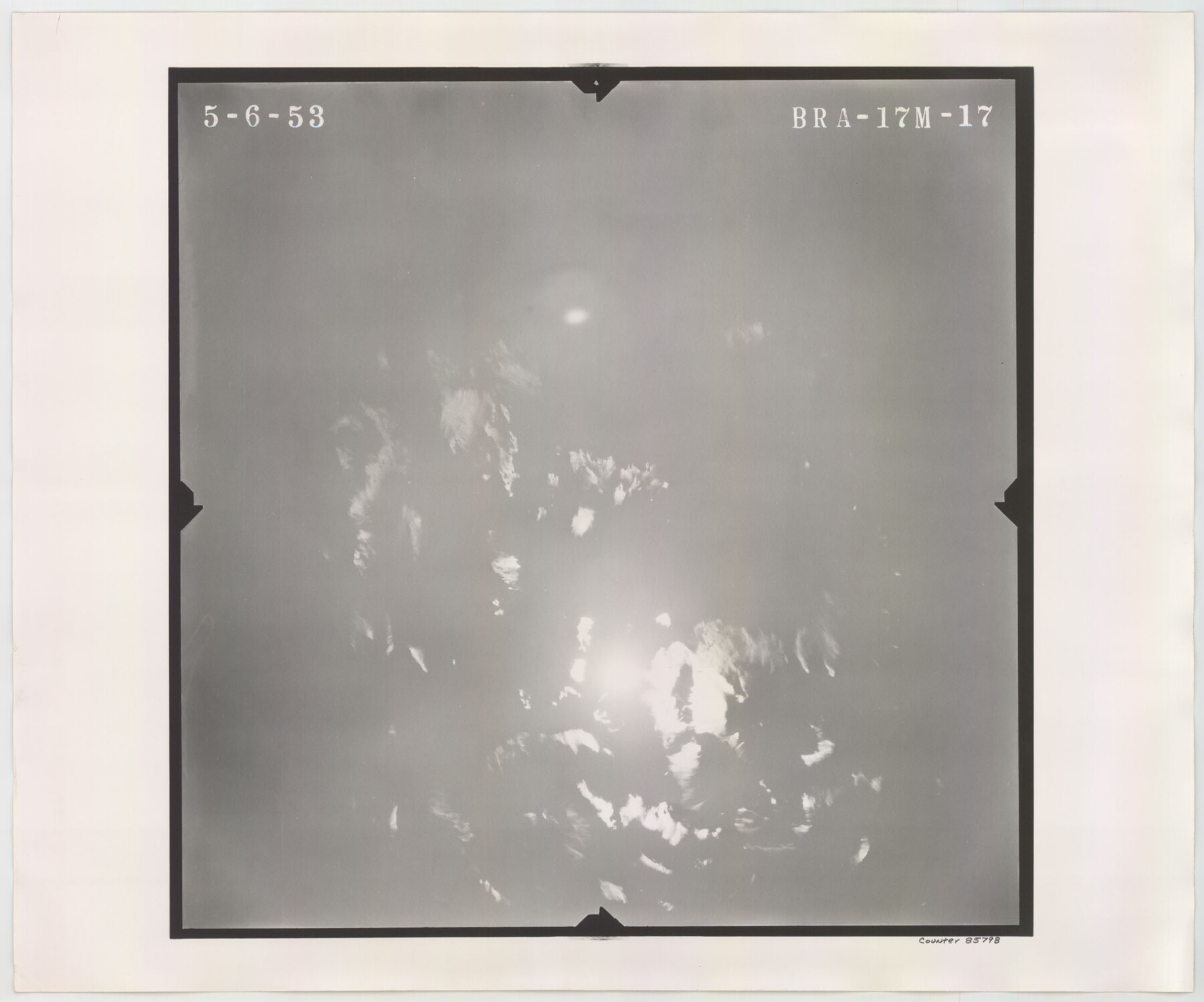
Flight Mission No. BRA-17M, Frame 17, Jefferson County
BRA-17M-17
-
Map/Doc
85798
-
Collection
General Map Collection
-
Object Dates
1953/5/6 (Creation Date)
-
People and Organizations
U. S. Department of Agriculture (Publisher)
-
Counties
Jefferson
-
Subjects
Aerial Photograph
-
Height x Width
18.5 x 22.3 inches
47.0 x 56.6 cm
-
Comments
Flown by Jack Ammann Photogrammetric Engineers of San Antonio, Texas.
Part of: General Map Collection
Flight Mission No. DIX-10P, Frame 179, Aransas County

Print $20.00
- Digital $50.00
Flight Mission No. DIX-10P, Frame 179, Aransas County
1956
Size 18.7 x 22.3 inches
Map/Doc 83969
Mills County Working Sketch 2

Print $20.00
- Digital $50.00
Mills County Working Sketch 2
1904
Size 12.7 x 15.8 inches
Map/Doc 71032
Shelby County Working Sketch 33

Print $20.00
- Digital $50.00
Shelby County Working Sketch 33
2008
Size 23.6 x 27.5 inches
Map/Doc 88886
Harrison County Rolled Sketch 6

Print $20.00
- Digital $50.00
Harrison County Rolled Sketch 6
1952
Size 23.4 x 24.2 inches
Map/Doc 6152
Armstrong County Sketch File A-13

Print $40.00
- Digital $50.00
Armstrong County Sketch File A-13
Size 12.8 x 17.7 inches
Map/Doc 13714
Castro County Sketch File 1a

Print $8.00
- Digital $50.00
Castro County Sketch File 1a
Size 8.6 x 14.0 inches
Map/Doc 17454
Kleberg County Sketch File 1

Print $36.00
- Digital $50.00
Kleberg County Sketch File 1
1994
Size 8.8 x 11.3 inches
Map/Doc 29192
Freestone County Working Sketch 13

Print $40.00
- Digital $50.00
Freestone County Working Sketch 13
1980
Size 42.8 x 59.7 inches
Map/Doc 69255
El Paso County Rolled Sketch 42

Print $20.00
- Digital $50.00
El Paso County Rolled Sketch 42
Size 34.5 x 24.5 inches
Map/Doc 5828
Zavala County Working Sketch 1

Print $20.00
- Digital $50.00
Zavala County Working Sketch 1
Size 21.2 x 16.3 inches
Map/Doc 62076
Map of Panola County Texas

Print $20.00
- Digital $50.00
Map of Panola County Texas
1850
Size 25.6 x 35.9 inches
Map/Doc 78317
Lynn County Boundary File 11

Print $44.00
- Digital $50.00
Lynn County Boundary File 11
Size 14.1 x 8.7 inches
Map/Doc 56745
You may also like
Stonewall County Working Sketch 11

Print $20.00
- Digital $50.00
Stonewall County Working Sketch 11
1950
Size 23.8 x 33.7 inches
Map/Doc 62318
Flight Mission No. CRC-5R, Frame 19, Chambers County

Print $20.00
- Digital $50.00
Flight Mission No. CRC-5R, Frame 19, Chambers County
1956
Size 18.8 x 22.4 inches
Map/Doc 84941
Right of Way & Track Map San Antonio & Aransas Pass Railway Co.

Print $40.00
- Digital $50.00
Right of Way & Track Map San Antonio & Aransas Pass Railway Co.
1919
Size 25.1 x 56.7 inches
Map/Doc 64026
Amistad International Reservoir on Rio Grande 102

Print $20.00
- Digital $50.00
Amistad International Reservoir on Rio Grande 102
1950
Size 28.5 x 41.2 inches
Map/Doc 75533
Controlled Mosaic by Jack Amman Photogrammetric Engineers, Inc - Sheet 1

Print $20.00
- Digital $50.00
Controlled Mosaic by Jack Amman Photogrammetric Engineers, Inc - Sheet 1
1954
Size 20.0 x 24.0 inches
Map/Doc 83445
Description of Best Route from San Antonio to Laredo, Texas

Print $20.00
Description of Best Route from San Antonio to Laredo, Texas
1865
Size 28.6 x 13.7 inches
Map/Doc 79302
Flight Mission No. BRA-16M, Frame 161, Jefferson County

Print $20.00
- Digital $50.00
Flight Mission No. BRA-16M, Frame 161, Jefferson County
1953
Size 18.5 x 22.3 inches
Map/Doc 85759
Flight Mission No. DQN-6K, Frame 75, Calhoun County

Print $20.00
- Digital $50.00
Flight Mission No. DQN-6K, Frame 75, Calhoun County
1953
Size 18.6 x 22.2 inches
Map/Doc 84447
Flight Mission No. BRE-1P, Frame 118, Nueces County

Print $20.00
- Digital $50.00
Flight Mission No. BRE-1P, Frame 118, Nueces County
1956
Size 17.8 x 21.2 inches
Map/Doc 86684
Live Oak County Sketch File 13

Print $17.00
- Digital $50.00
Live Oak County Sketch File 13
1880
Size 10.2 x 13.7 inches
Map/Doc 30270
Presidio County Working Sketch 69

Print $20.00
- Digital $50.00
Presidio County Working Sketch 69
1960
Size 33.3 x 41.3 inches
Map/Doc 71746
Crockett County Rolled Sketch 39

Print $20.00
- Digital $50.00
Crockett County Rolled Sketch 39
1935
Size 30.3 x 43.0 inches
Map/Doc 8705