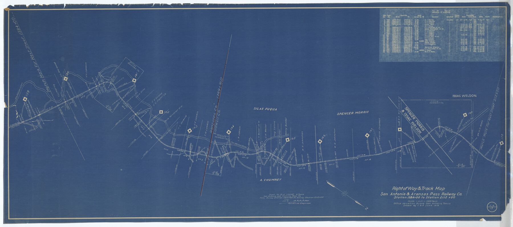
Right of Way & Track Map San Antonio & Aransas Pass Railway Co.
Station 1584+00 to Station 2112+00
Z-2-5
-
Map/Doc
64026
-
Collection
General Map Collection
-
Object Dates
1919 (Creation Date)
-
People and Organizations
C.R.A. (Draftsman)
L. Adams (Surveyor/Engineer)
-
Counties
Caldwell Gonzales
-
Subjects
Railroads
-
Height x Width
25.1 x 56.7 inches
63.8 x 144.0 cm
-
Medium
blueprint/diazo
-
Scale
1" = 1000 feet
-
Comments
See counter nos. 64024 and 64025 through 64027 for other sections of the map.
-
Features
SA&AP
[Rail line] to Lockhart
GH&SA
[Rail line] to Houston
San Marcos River
White Oak Creek
San Marcos Creek
Part of: General Map Collection
Ochiltree County Sketch File 12

Print $24.00
- Digital $50.00
Ochiltree County Sketch File 12
1990
Size 11.2 x 8.5 inches
Map/Doc 33201
Stonewall County

Print $20.00
- Digital $50.00
Stonewall County
1888
Size 17.8 x 24.6 inches
Map/Doc 89055
Hemphill County Rolled Sketch 17

Print $20.00
- Digital $50.00
Hemphill County Rolled Sketch 17
1965
Size 23.5 x 39.9 inches
Map/Doc 6199
Victoria County Working Sketch 9

Print $40.00
- Digital $50.00
Victoria County Working Sketch 9
1963
Size 49.9 x 35.8 inches
Map/Doc 72279
Oso Creek, Cudahay Field (P-3) Sheet

Print $6.00
- Digital $50.00
Oso Creek, Cudahay Field (P-3) Sheet
1942
Size 30.6 x 33.8 inches
Map/Doc 65098
Crockett County Working Sketch 91

Print $20.00
- Digital $50.00
Crockett County Working Sketch 91
1978
Size 32.8 x 32.4 inches
Map/Doc 68424

Chambers County Sketch File 53

Print $12.00
- Digital $50.00
Chambers County Sketch File 53
1952
Size 14.3 x 8.9 inches
Map/Doc 18087
Hopkins County Sketch File 4

Print $47.00
- Digital $50.00
Hopkins County Sketch File 4
Size 21.2 x 18.4 inches
Map/Doc 4565
La Salle County Rolled Sketch 25

Print $20.00
- Digital $50.00
La Salle County Rolled Sketch 25
Size 20.3 x 24.4 inches
Map/Doc 6586
Crockett County Rolled Sketch 71

Print $40.00
- Digital $50.00
Crockett County Rolled Sketch 71
1949
Size 54.5 x 38.9 inches
Map/Doc 8722
Ector County Sketch File 9

Print $5.00
- Digital $50.00
Ector County Sketch File 9
1939
Size 28.7 x 22.2 inches
Map/Doc 11418
You may also like
Anderson County Boundary File 10

Print $13.00
- Digital $50.00
Anderson County Boundary File 10
Size 16.0 x 10.2 inches
Map/Doc 49759
Flight Mission No. DQN-2K, Frame 8, Calhoun County

Print $20.00
- Digital $50.00
Flight Mission No. DQN-2K, Frame 8, Calhoun County
1953
Size 15.8 x 15.6 inches
Map/Doc 84225
Houston Ship Channel, Alexander Island to Carpenter Bayou

Print $40.00
- Digital $50.00
Houston Ship Channel, Alexander Island to Carpenter Bayou
1989
Size 35.4 x 49.3 inches
Map/Doc 69915
Map of the State of Texas from the Latest Authorities

Print $20.00
- Digital $50.00
Map of the State of Texas from the Latest Authorities
1853
Size 14.2 x 17.4 inches
Map/Doc 89221
Amistad International Reservoir on Rio Grande 74a

Print $20.00
- Digital $50.00
Amistad International Reservoir on Rio Grande 74a
1949
Size 28.6 x 40.0 inches
Map/Doc 75502
General Highway Map, Hockley County, Texas

Print $20.00
General Highway Map, Hockley County, Texas
1940
Size 18.5 x 25.0 inches
Map/Doc 79130
Roberts County Working Sketch 32

Print $20.00
- Digital $50.00
Roberts County Working Sketch 32
1978
Size 26.6 x 22.5 inches
Map/Doc 63558
Panola County Rolled Sketch 8

Print $20.00
- Digital $50.00
Panola County Rolled Sketch 8
1986
Size 20.1 x 18.0 inches
Map/Doc 7201

Bell County Sketch File 1

Print $40.00
- Digital $50.00
Bell County Sketch File 1
1847
Size 14.7 x 12.4 inches
Map/Doc 14365
Edwards County Working Sketch 54

Print $20.00
- Digital $50.00
Edwards County Working Sketch 54
1951
Size 19.2 x 28.5 inches
Map/Doc 68930
Perspective Map of Fort Worth, Tex.

Print $20.00
Perspective Map of Fort Worth, Tex.
1891
Size 19.9 x 33.0 inches
Map/Doc 89083