Bastrop County Sketch File 9

Print $40.00
- Digital $50.00
Bastrop County Sketch File 9
1943
Size: 46.5 x 20.6 inches
10320
Caldwell County Rolled Sketch 1

Print $20.00
- Digital $50.00
Caldwell County Rolled Sketch 1
1953
Size: 20.2 x 30.4 inches
10673
Caldwell County Sketch File 2

Print $40.00
- Digital $50.00
Caldwell County Sketch File 2
1877
Size: 12.9 x 20.0 inches
11030
Hays County Sketch File 28

Print $20.00
- Digital $50.00
Hays County Sketch File 28
1912
Size: 26.0 x 20.0 inches
11750
Travis County Sketch File ABC

Print $20.00
- Digital $50.00
Travis County Sketch File ABC
Size: 23.8 x 19.0 inches
12480
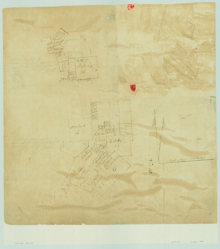
Bastrop County Sketch File 6

Print $4.00
- Digital $50.00
Bastrop County Sketch File 6
1875
Size: 8.8 x 7.8 inches
14050
[Surveys on the San Marcos River]
Print $20.00
- Digital $50.00
[Surveys on the San Marcos River]
Size: 14.1 x 12.4 inches
149
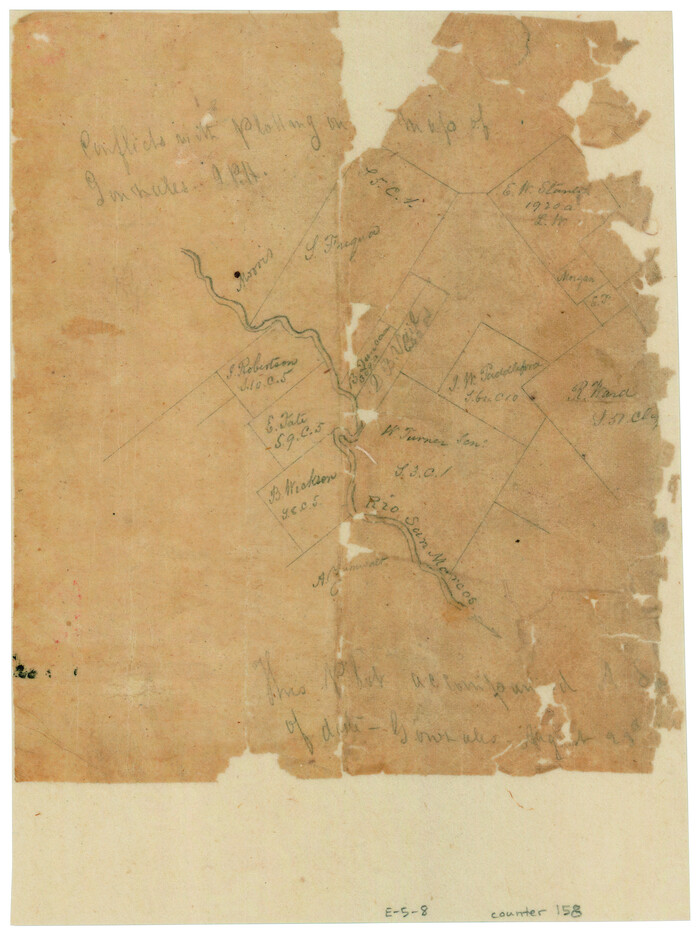
[Surveys along the San Marcos River]
Print $2.00
- Digital $50.00
[Surveys along the San Marcos River]
Size: 7.7 x 5.8 inches
158
[Gonzales District]
Print $20.00
- Digital $50.00
[Gonzales District]
1840
Size: 42.8 x 37.0 inches
16837
A Map of Gonzales County

Print $20.00
- Digital $50.00
A Map of Gonzales County
1838
Size: 34.7 x 39.2 inches
16838
Connected Map of DeWitt's Colony compiled from the surveys of Byrd Lockhart

Print $40.00
- Digital $50.00
Connected Map of DeWitt's Colony compiled from the surveys of Byrd Lockhart
1831
Size: 39.2 x 54.0 inches
1942
Gonzales County Sketch File 1

Print $4.00
- Digital $50.00
Gonzales County Sketch File 1
1858
Size: 8.1 x 10.2 inches
24355
Gonzales County Sketch File 2

Print $10.00
- Digital $50.00
Gonzales County Sketch File 2
Size: 8.9 x 7.8 inches
24357
Gonzales County Sketch File 3

Print $24.00
- Digital $50.00
Gonzales County Sketch File 3
1871
Size: 12.6 x 8.3 inches
24361
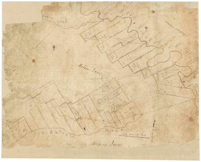
[Surveys in Milam's Colony between the Colorado River and northwest of the San Antonio Road]
Print $20.00
- Digital $50.00
[Surveys in Milam's Colony between the Colorado River and northwest of the San Antonio Road]
Size: 22.0 x 27.4 inches
29
Map of Caldwell County, Land District since August 1st. 1859; Originally the part north, east of the line designated Bastrop - the balance, Gonzales Land District

Print $20.00
- Digital $50.00
Map of Caldwell County, Land District since August 1st. 1859; Originally the part north, east of the line designated Bastrop - the balance, Gonzales Land District
1861
Size: 19.9 x 23.0 inches
3355
Map of Caldwell County

Print $20.00
- Digital $50.00
Map of Caldwell County
1871
Size: 17.2 x 19.8 inches
3357
Caldwell County Sketch File 1

Print $22.00
- Digital $50.00
Caldwell County Sketch File 1
Size: 8.6 x 12.4 inches
35825
Caldwell County Sketch File 3

Print $4.00
- Digital $50.00
Caldwell County Sketch File 3
1872
Size: 12.7 x 8.1 inches
35827
Caldwell County Sketch File 3a

Print $4.00
- Digital $50.00
Caldwell County Sketch File 3a
1870
Size: 10.1 x 8.1 inches
35829
Caldwell County Sketch File 4

Print $8.00
- Digital $50.00
Caldwell County Sketch File 4
Size: 8.8 x 6.9 inches
35831
Caldwell County Sketch File 4a

Print $8.00
- Digital $50.00
Caldwell County Sketch File 4a
1898
Size: 11.2 x 8.8 inches
35835
Caldwell County Sketch File 4b

Print $8.00
- Digital $50.00
Caldwell County Sketch File 4b
1896
Size: 6.4 x 3.8 inches
35839
Caldwell County Sketch File 5

Print $8.00
- Digital $50.00
Caldwell County Sketch File 5
Size: 14.1 x 8.6 inches
35843
Caldwell County Sketch File 6

Print $8.00
- Digital $50.00
Caldwell County Sketch File 6
1922
Size: 14.1 x 8.1 inches
35847
Map of Lockhart, Caldwell Co., Texas

Print $20.00
- Digital $50.00
Map of Lockhart, Caldwell Co., Texas
1907
Size: 30.5 x 38.9 inches
4461
Map of Caldwell County

Print $20.00
- Digital $50.00
Map of Caldwell County
1871
Size: 16.9 x 19.8 inches
4590
Bastrop County Sketch File 9
Print $40.00
- Digital $50.00
Bastrop County Sketch File 9
1943
-
Size
46.5 x 20.6 inches
-
Map/Doc
10320
-
Creation Date
1943
Caldwell County Rolled Sketch 1
Print $20.00
- Digital $50.00
Caldwell County Rolled Sketch 1
1953
-
Size
20.2 x 30.4 inches
-
Map/Doc
10673
-
Creation Date
1953
Caldwell County Sketch File 2
Print $40.00
- Digital $50.00
Caldwell County Sketch File 2
1877
-
Size
12.9 x 20.0 inches
-
Map/Doc
11030
-
Creation Date
1877
Hays County Sketch File 28
Print $20.00
- Digital $50.00
Hays County Sketch File 28
1912
-
Size
26.0 x 20.0 inches
-
Map/Doc
11750
-
Creation Date
1912
Travis County Sketch File ABC
Print $20.00
- Digital $50.00
Travis County Sketch File ABC
-
Size
23.8 x 19.0 inches
-
Map/Doc
12480
Bastrop County Sketch File 6
Print $4.00
- Digital $50.00
Bastrop County Sketch File 6
1875
-
Size
8.8 x 7.8 inches
-
Map/Doc
14050
-
Creation Date
1875
[Surveys on the San Marcos River]
Print $20.00
- Digital $50.00
[Surveys on the San Marcos River]
-
Size
14.1 x 12.4 inches
-
Map/Doc
149
[Surveys along the San Marcos River]
Print $2.00
- Digital $50.00
[Surveys along the San Marcos River]
-
Size
7.7 x 5.8 inches
-
Map/Doc
158
[Gonzales District]
Print $20.00
- Digital $50.00
[Gonzales District]
1840
-
Size
42.8 x 37.0 inches
-
Map/Doc
16837
-
Creation Date
1840
A Map of Gonzales County
Print $20.00
- Digital $50.00
A Map of Gonzales County
1838
-
Size
34.7 x 39.2 inches
-
Map/Doc
16838
-
Creation Date
1838
Caldwell County

Print $20.00
- Digital $50.00
Caldwell County
1935
-
Size
39.6 x 43.7 inches
-
Map/Doc
1791
-
Creation Date
1935
Connected Map of DeWitt's Colony compiled from the surveys of Byrd Lockhart
Print $40.00
- Digital $50.00
Connected Map of DeWitt's Colony compiled from the surveys of Byrd Lockhart
1831
-
Size
39.2 x 54.0 inches
-
Map/Doc
1942
-
Creation Date
1831
Gonzales County Sketch File 1
Print $4.00
- Digital $50.00
Gonzales County Sketch File 1
1858
-
Size
8.1 x 10.2 inches
-
Map/Doc
24355
-
Creation Date
1858
Gonzales County Sketch File 2
Print $10.00
- Digital $50.00
Gonzales County Sketch File 2
-
Size
8.9 x 7.8 inches
-
Map/Doc
24357
Gonzales County Sketch File 3
Print $24.00
- Digital $50.00
Gonzales County Sketch File 3
1871
-
Size
12.6 x 8.3 inches
-
Map/Doc
24361
-
Creation Date
1871
[Surveys in Milam's Colony between the Colorado River and northwest of the San Antonio Road]
Print $20.00
- Digital $50.00
[Surveys in Milam's Colony between the Colorado River and northwest of the San Antonio Road]
-
Size
22.0 x 27.4 inches
-
Map/Doc
29
Caldwell County

Print $20.00
- Digital $50.00
Caldwell County
1854
-
Size
20.0 x 20.5 inches
-
Map/Doc
3354
-
Creation Date
1854
Map of Caldwell County, Land District since August 1st. 1859; Originally the part north, east of the line designated Bastrop - the balance, Gonzales Land District
Print $20.00
- Digital $50.00
Map of Caldwell County, Land District since August 1st. 1859; Originally the part north, east of the line designated Bastrop - the balance, Gonzales Land District
1861
-
Size
19.9 x 23.0 inches
-
Map/Doc
3355
-
Creation Date
1861
Caldwell Co.

Print $20.00
- Digital $50.00
Caldwell Co.
1895
-
Size
31.1 x 40.4 inches
-
Map/Doc
3356
-
Creation Date
1895
Map of Caldwell County
Print $20.00
- Digital $50.00
Map of Caldwell County
1871
-
Size
17.2 x 19.8 inches
-
Map/Doc
3357
-
Creation Date
1871
Caldwell County Sketch File 1
Print $22.00
- Digital $50.00
Caldwell County Sketch File 1
-
Size
8.6 x 12.4 inches
-
Map/Doc
35825
Caldwell County Sketch File 3
Print $4.00
- Digital $50.00
Caldwell County Sketch File 3
1872
-
Size
12.7 x 8.1 inches
-
Map/Doc
35827
-
Creation Date
1872
Caldwell County Sketch File 3a
Print $4.00
- Digital $50.00
Caldwell County Sketch File 3a
1870
-
Size
10.1 x 8.1 inches
-
Map/Doc
35829
-
Creation Date
1870
Caldwell County Sketch File 4
Print $8.00
- Digital $50.00
Caldwell County Sketch File 4
-
Size
8.8 x 6.9 inches
-
Map/Doc
35831
Caldwell County Sketch File 4a
Print $8.00
- Digital $50.00
Caldwell County Sketch File 4a
1898
-
Size
11.2 x 8.8 inches
-
Map/Doc
35835
-
Creation Date
1898
Caldwell County Sketch File 4b
Print $8.00
- Digital $50.00
Caldwell County Sketch File 4b
1896
-
Size
6.4 x 3.8 inches
-
Map/Doc
35839
-
Creation Date
1896
Caldwell County Sketch File 5
Print $8.00
- Digital $50.00
Caldwell County Sketch File 5
-
Size
14.1 x 8.6 inches
-
Map/Doc
35843
Caldwell County Sketch File 6
Print $8.00
- Digital $50.00
Caldwell County Sketch File 6
1922
-
Size
14.1 x 8.1 inches
-
Map/Doc
35847
-
Creation Date
1922
Map of Lockhart, Caldwell Co., Texas
Print $20.00
- Digital $50.00
Map of Lockhart, Caldwell Co., Texas
1907
-
Size
30.5 x 38.9 inches
-
Map/Doc
4461
-
Creation Date
1907
Map of Caldwell County
Print $20.00
- Digital $50.00
Map of Caldwell County
1871
-
Size
16.9 x 19.8 inches
-
Map/Doc
4590
-
Creation Date
1871