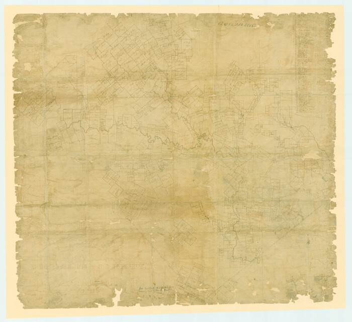
A Map of Gonzales County
1838

Bastrop County Rolled Sketch 2
1979
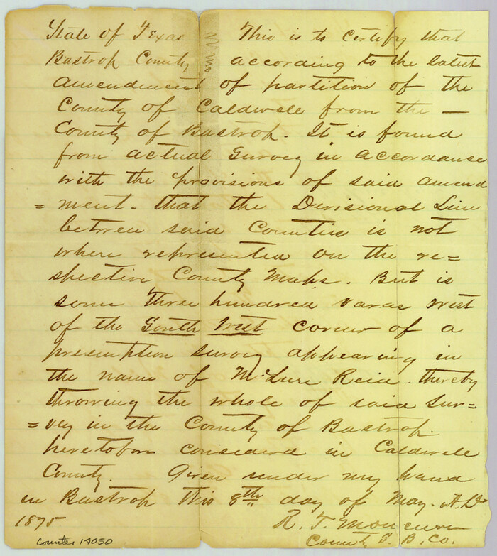
Bastrop County Sketch File 6
1875

Bastrop County Sketch File 9
1943
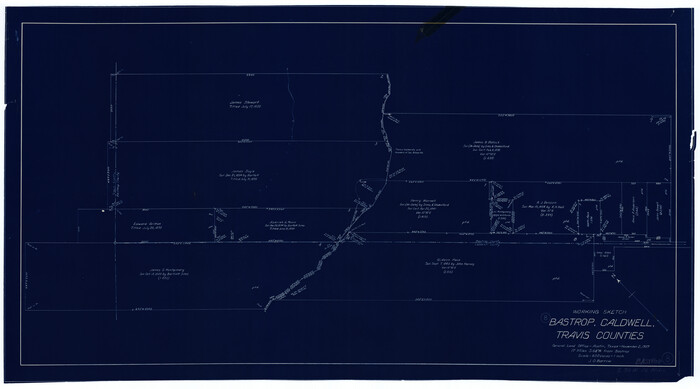
Bastrop County Working Sketch 8
1937

Caldwell County Rolled Sketch 1
1953
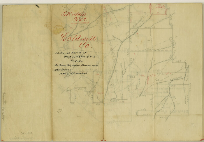
Caldwell County Sketch File 1

Caldwell County Sketch File 2
1877
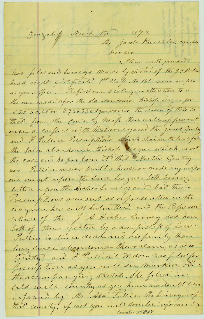
Caldwell County Sketch File 3
1872
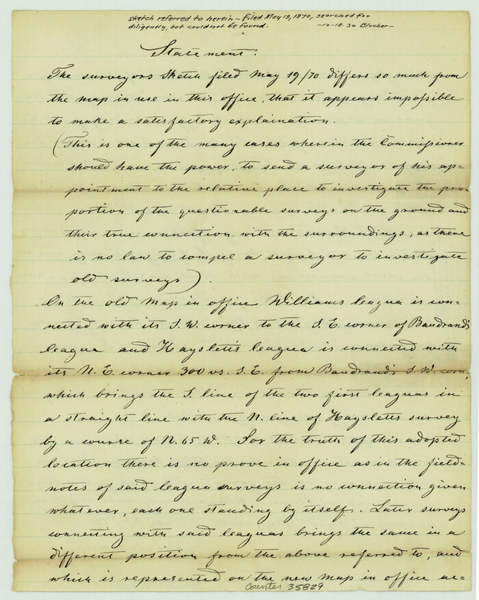
Caldwell County Sketch File 3a
1870
Caldwell County Sketch File 4

Caldwell County Sketch File 4a
1898
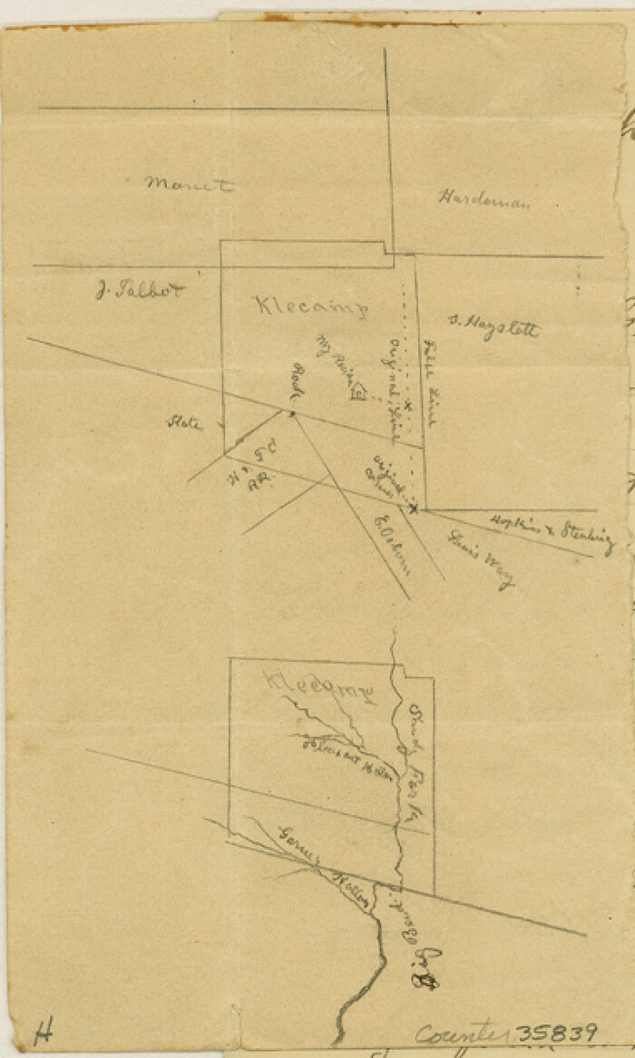
Caldwell County Sketch File 4b
1896
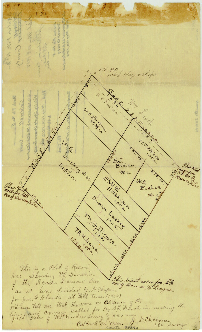
Caldwell County Sketch File 5
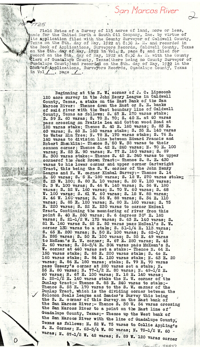
Caldwell County Sketch File 6
1922

Caldwell County Working Sketch 1

Caldwell County Working Sketch 10
1977
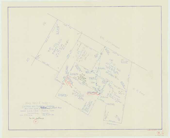
Caldwell County Working Sketch 11
1979
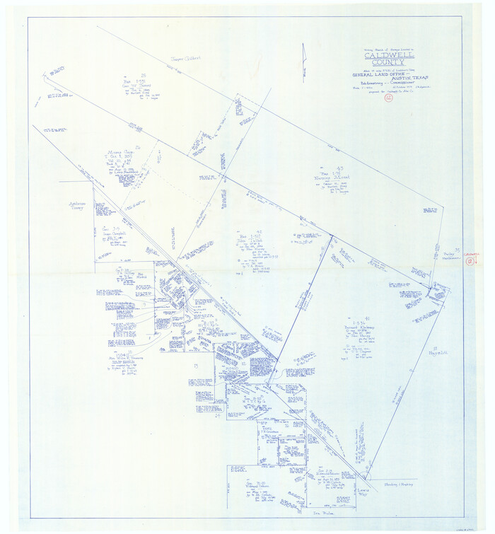
Caldwell County Working Sketch 12
1979

Caldwell County Working Sketch 13
1987

Caldwell County Working Sketch 2
1912

Caldwell County Working Sketch 4
1922

A Map of Gonzales County
1838
-
Size
34.7 x 39.2 inches
-
Map/Doc
16838
-
Creation Date
1838

Bastrop County Rolled Sketch 2
1979
-
Size
26.3 x 18.4 inches
-
Map/Doc
5123
-
Creation Date
1979

Bastrop County Sketch File 6
1875
-
Size
8.8 x 7.8 inches
-
Map/Doc
14050
-
Creation Date
1875

Bastrop County Sketch File 9
1943
-
Size
46.5 x 20.6 inches
-
Map/Doc
10320
-
Creation Date
1943

Bastrop County Working Sketch 8
1937
-
Size
23.9 x 43.1 inches
-
Map/Doc
67308
-
Creation Date
1937

Caldwell Co.
1895
-
Size
31.1 x 40.4 inches
-
Map/Doc
3356
-
Creation Date
1895
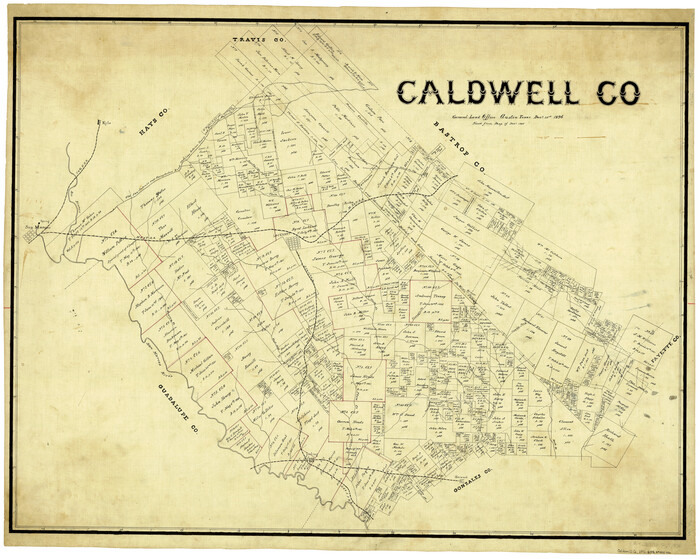
Caldwell Co.
1896
-
Size
32.8 x 41.5 inches
-
Map/Doc
4898
-
Creation Date
1896
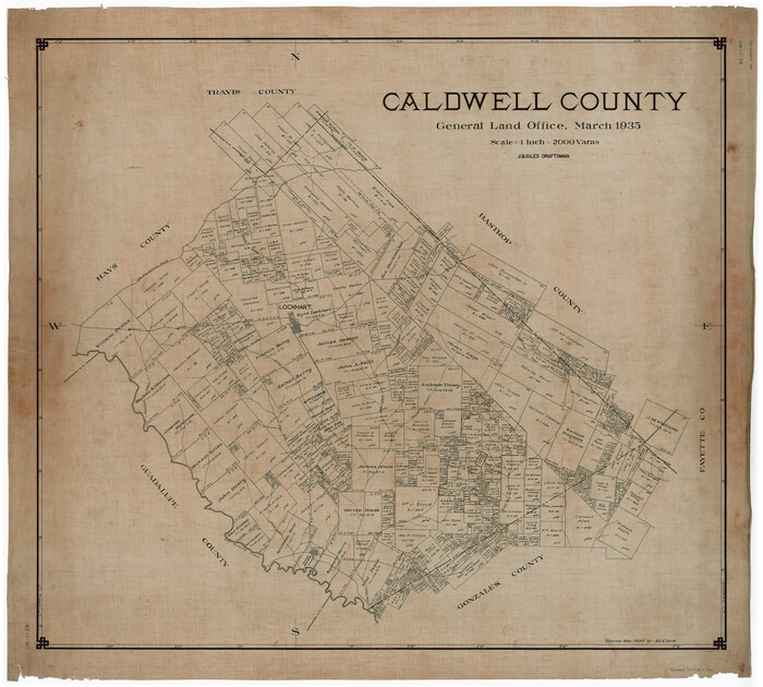
Caldwell County
1935
-
Size
39.6 x 43.7 inches
-
Map/Doc
1791
-
Creation Date
1935
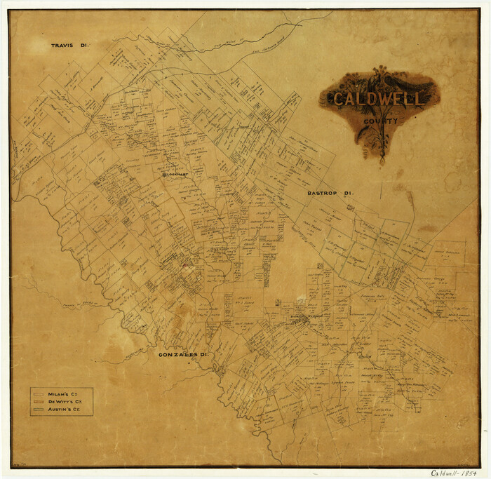
Caldwell County
1854
-
Size
20.0 x 20.5 inches
-
Map/Doc
3354
-
Creation Date
1854
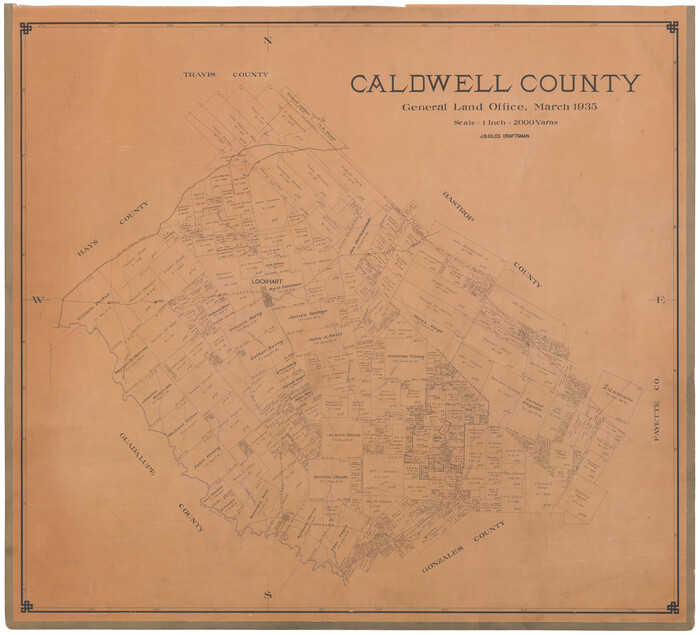
Caldwell County
1935
-
Size
37.8 x 42.0 inches
-
Map/Doc
73095
-
Creation Date
1935

Caldwell County
1935
-
Size
36.1 x 40.3 inches
-
Map/Doc
77227
-
Creation Date
1935

Caldwell County
1896
-
Size
42.7 x 33.3 inches
-
Map/Doc
93039
-
Creation Date
1896
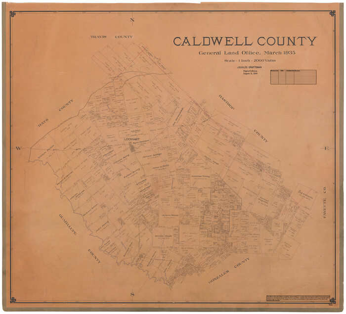
Caldwell County
1935
-
Size
38.7 x 42.7 inches
-
Map/Doc
95444
-
Creation Date
1935

Caldwell County Rolled Sketch 1
1953
-
Size
20.2 x 30.4 inches
-
Map/Doc
10673
-
Creation Date
1953

Caldwell County Sketch File 1
-
Size
8.6 x 12.4 inches
-
Map/Doc
35825

Caldwell County Sketch File 2
1877
-
Size
12.9 x 20.0 inches
-
Map/Doc
11030
-
Creation Date
1877

Caldwell County Sketch File 3
1872
-
Size
12.7 x 8.1 inches
-
Map/Doc
35827
-
Creation Date
1872

Caldwell County Sketch File 3a
1870
-
Size
10.1 x 8.1 inches
-
Map/Doc
35829
-
Creation Date
1870

Caldwell County Sketch File 4
-
Size
8.8 x 6.9 inches
-
Map/Doc
35831

Caldwell County Sketch File 4a
1898
-
Size
11.2 x 8.8 inches
-
Map/Doc
35835
-
Creation Date
1898

Caldwell County Sketch File 4b
1896
-
Size
6.4 x 3.8 inches
-
Map/Doc
35839
-
Creation Date
1896

Caldwell County Sketch File 5
-
Size
14.1 x 8.6 inches
-
Map/Doc
35843

Caldwell County Sketch File 6
1922
-
Size
14.1 x 8.1 inches
-
Map/Doc
35847
-
Creation Date
1922

Caldwell County Working Sketch 1
-
Size
20.7 x 26.2 inches
-
Map/Doc
67831

Caldwell County Working Sketch 10
1977
-
Size
46.2 x 50.5 inches
-
Map/Doc
67840
-
Creation Date
1977

Caldwell County Working Sketch 11
1979
-
Size
21.6 x 26.6 inches
-
Map/Doc
67841
-
Creation Date
1979

Caldwell County Working Sketch 12
1979
-
Size
47.7 x 44.2 inches
-
Map/Doc
67842
-
Creation Date
1979

Caldwell County Working Sketch 13
1987
-
Size
40.3 x 34.3 inches
-
Map/Doc
67843
-
Creation Date
1987

Caldwell County Working Sketch 2
1912
-
Size
11.2 x 9.1 inches
-
Map/Doc
67832
-
Creation Date
1912

Caldwell County Working Sketch 4
1922
-
Size
46.1 x 43.5 inches
-
Map/Doc
67834
-
Creation Date
1922