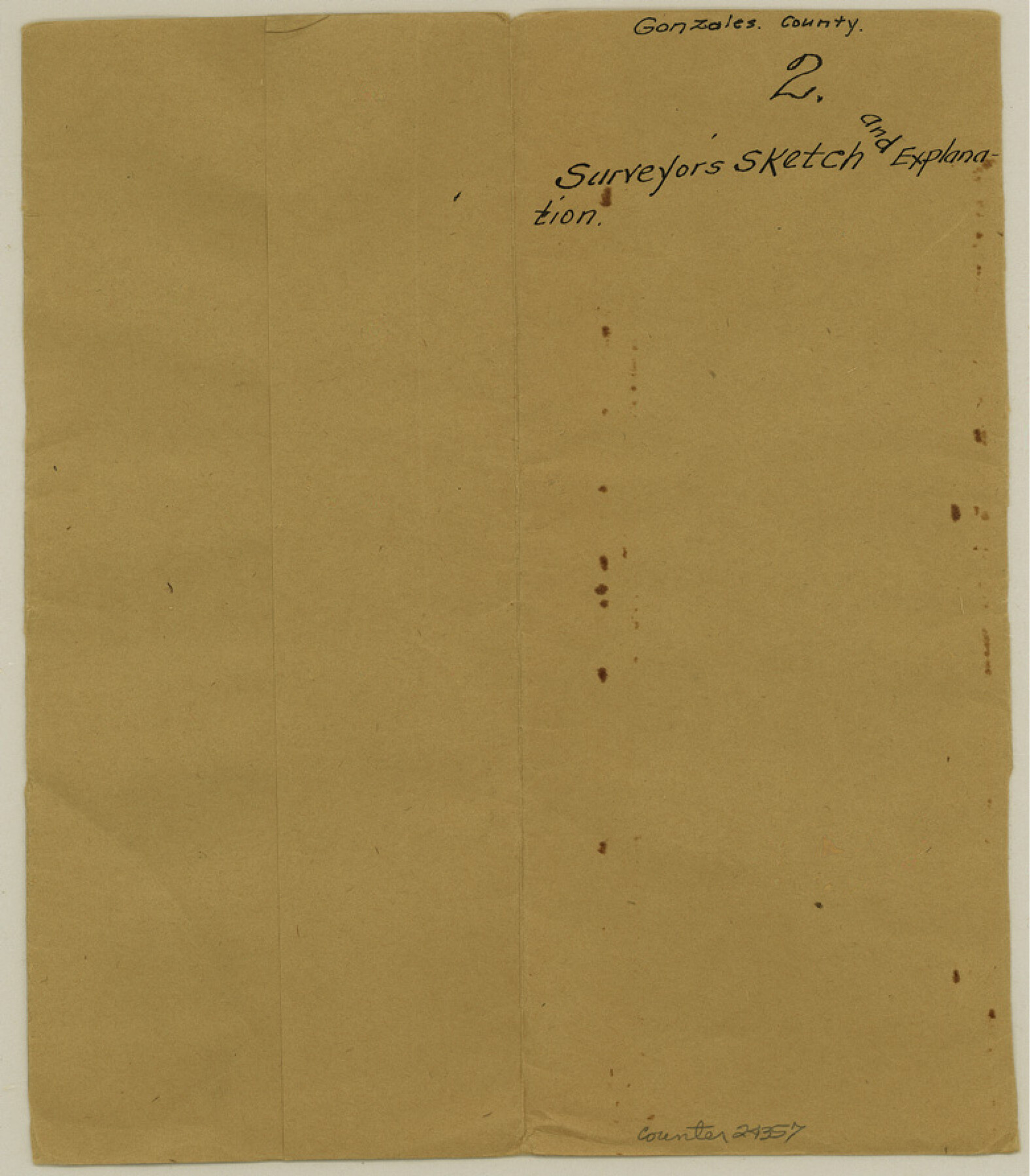
Gonzales County Sketch File 2
[Sketch and explanation regarding surveys in the north corner of the county and extending into Caldwell County]
-
Map/Doc
24357
-
Collection
General Map Collection
-
People and Organizations
James M. Russell (Surveyor/Engineer)
-
Counties
Gonzales Caldwell
-
Subjects
Surveying Sketch File
-
Height x Width
8.9 x 7.8 inches
22.6 x 19.8 cm
-
Medium
paper, manuscript
Part of: General Map Collection
Flight Mission No. DQN-2K, Frame 75, Calhoun County


Print $20.00
- Digital $50.00
Flight Mission No. DQN-2K, Frame 75, Calhoun County
1953
Size 18.7 x 22.3 inches
Map/Doc 84267
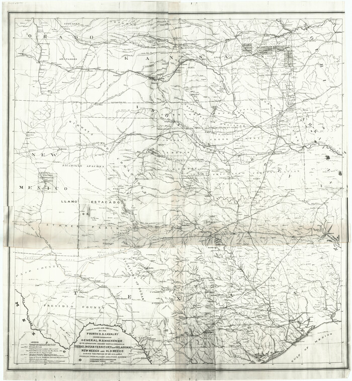
Trails made and routes used by the Fourth U.S. Cavalry under command of General R.S. Mackenzie in its operations against hostile indians in Texas, Indian-Territory (now Oklahoma), New Mexico and Old Mexico during the period of 1871-2-3-4 and 5

Print $20.00
- Digital $50.00
Trails made and routes used by the Fourth U.S. Cavalry under command of General R.S. Mackenzie in its operations against hostile indians in Texas, Indian-Territory (now Oklahoma), New Mexico and Old Mexico during the period of 1871-2-3-4 and 5
1927
Size 37.0 x 34.2 inches
Map/Doc 62973
Flight Mission No. BRE-1P, Frame 70, Nueces County


Print $20.00
- Digital $50.00
Flight Mission No. BRE-1P, Frame 70, Nueces County
1956
Size 18.3 x 22.1 inches
Map/Doc 86652
Jefferson County Sketch File 2


Print $50.00
- Digital $50.00
Jefferson County Sketch File 2
Size 11.2 x 8.8 inches
Map/Doc 28090
Bosque County Rolled Sketch 1
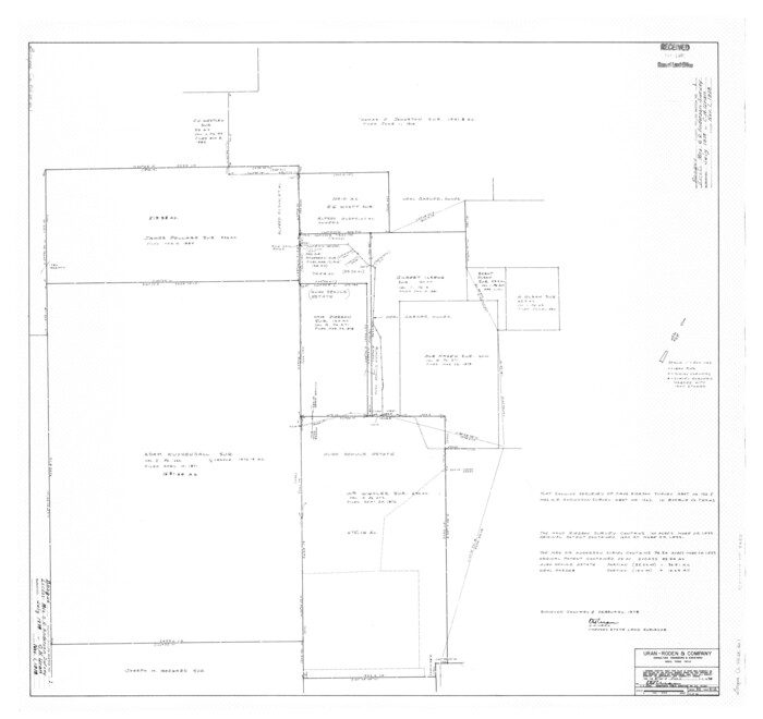

Print $20.00
- Digital $50.00
Bosque County Rolled Sketch 1
1978
Size 36.4 x 38.6 inches
Map/Doc 8452
Smith County Working Sketch 12
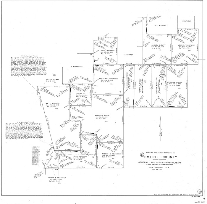

Print $20.00
- Digital $50.00
Smith County Working Sketch 12
1961
Size 30.3 x 30.6 inches
Map/Doc 63897
Kent County Working Sketch 3b


Print $20.00
- Digital $50.00
Kent County Working Sketch 3b
1948
Size 24.9 x 23.3 inches
Map/Doc 70010
Upton County Sketch File 43


Print $22.00
- Digital $50.00
Upton County Sketch File 43
1988
Size 11.4 x 8.8 inches
Map/Doc 38920
Map and Profile of Georgetown Railroad


Print $20.00
- Digital $50.00
Map and Profile of Georgetown Railroad
1879
Size 18.9 x 41.5 inches
Map/Doc 64453
Coryell County


Print $20.00
- Digital $50.00
Coryell County
1880
Size 25.6 x 25.6 inches
Map/Doc 3444
Edwards County Working Sketch 59
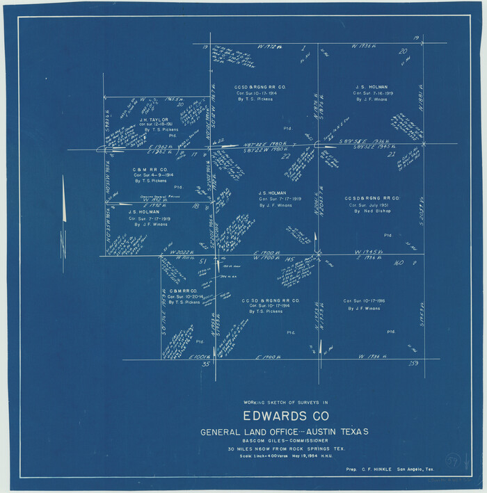

Print $20.00
- Digital $50.00
Edwards County Working Sketch 59
1954
Size 22.7 x 22.4 inches
Map/Doc 68935
You may also like
Oldham County Boundary File 1d


Print $68.00
- Digital $50.00
Oldham County Boundary File 1d
Size 14.0 x 8.5 inches
Map/Doc 57759
[Surveys along the Trinity River]
![321, [Surveys along the Trinity River], General Map Collection](https://historictexasmaps.com/wmedia_w700/maps/321.tif.jpg)
![321, [Surveys along the Trinity River], General Map Collection](https://historictexasmaps.com/wmedia_w700/maps/321.tif.jpg)
Print $2.00
- Digital $50.00
[Surveys along the Trinity River]
Size 3.6 x 3.7 inches
Map/Doc 321
Hamilton County Rolled Sketch 7
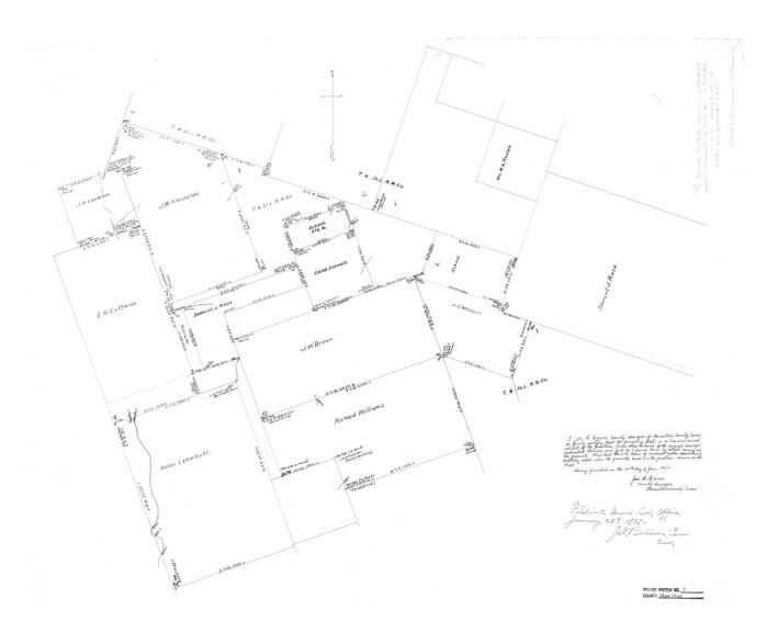

Print $20.00
- Digital $50.00
Hamilton County Rolled Sketch 7
1927
Size 32.2 x 38.4 inches
Map/Doc 6057
Harris County Rolled Sketch 59


Print $20.00
- Digital $50.00
Harris County Rolled Sketch 59
1937
Size 18.7 x 20.9 inches
Map/Doc 6105
El Paso County Working Sketch 15


Print $40.00
- Digital $50.00
El Paso County Working Sketch 15
1957
Size 23.3 x 127.5 inches
Map/Doc 69037
Polk County Sketch File 22


Print $6.00
- Digital $50.00
Polk County Sketch File 22
1887
Size 8.9 x 7.5 inches
Map/Doc 34173
Old Miscellaneous File 23


Print $58.00
- Digital $50.00
Old Miscellaneous File 23
1919
Size 14.2 x 8.6 inches
Map/Doc 75600
Vias de Comunicacion y Movimiento Maritimo


Print $20.00
- Digital $50.00
Vias de Comunicacion y Movimiento Maritimo
Size 26.1 x 34.2 inches
Map/Doc 96800
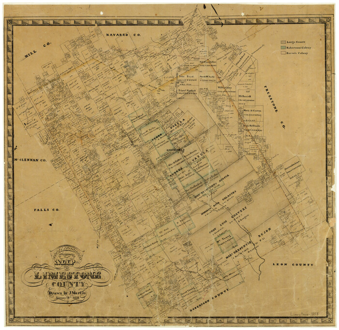
Map of Limestone County

Print $20.00
- Digital $50.00
Map of Limestone County
1858
Size 23.2 x 23.8 inches
Map/Doc 3819
Kerr County Rolled Sketch 19


Print $20.00
- Digital $50.00
Kerr County Rolled Sketch 19
1954
Size 43.4 x 28.4 inches
Map/Doc 6501
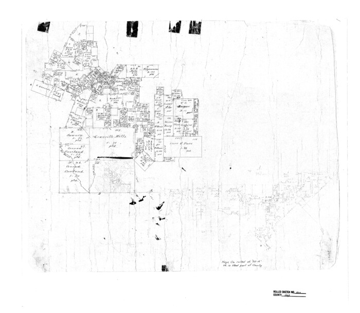
Hays County Rolled Sketch 20A

Print $20.00
- Digital $50.00
Hays County Rolled Sketch 20A
Size 20.7 x 23.9 inches
Map/Doc 6177
