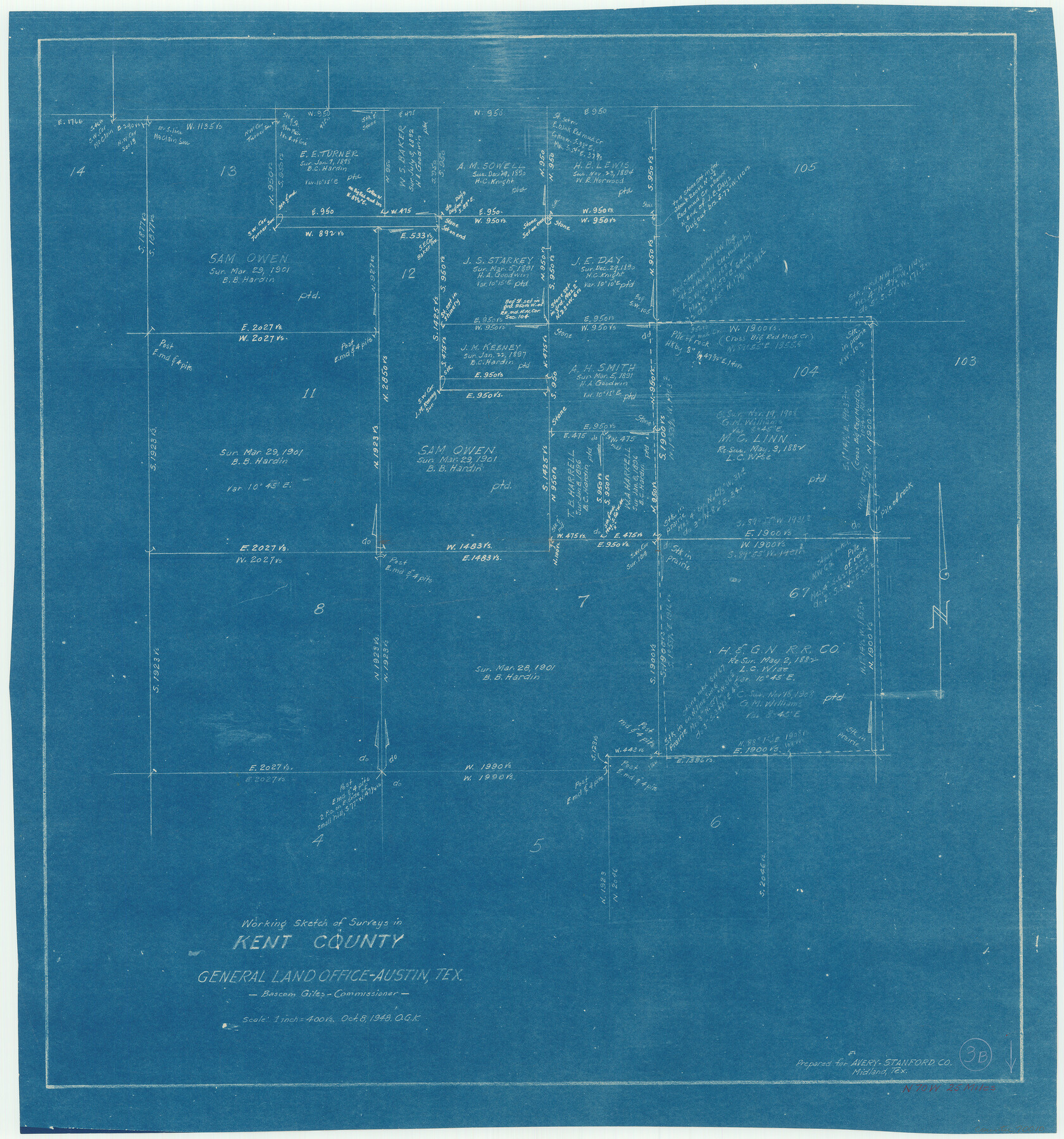
Kent County Working Sketch 3b
-
Map/Doc
70010
-
Collection
General Map Collection
-
Object Dates
10/8/1948 (Creation Date)
-
People and Organizations
Otto G. Kurio (Draftsman)
-
Counties
Kent
-
Subjects
Surveying Working Sketch
-
Height x Width
24.9 x 23.3 inches
63.3 x 59.2 cm
-
Scale
1" = 400 varas
Part of: General Map Collection
USGS Topographic: Texas-Oklahoma Denison Quadrangle

Print $20.00
- Digital $50.00
USGS Topographic: Texas-Oklahoma Denison Quadrangle
1901
Size 21.3 x 17.4 inches
Map/Doc 75108
Denton County Sketch File 27

Print $4.00
- Digital $50.00
Denton County Sketch File 27
1858
Size 7.9 x 12.1 inches
Map/Doc 20754
Outer Continental Shelf Leasing Maps (Louisiana Offshore Operations)

Print $20.00
- Digital $50.00
Outer Continental Shelf Leasing Maps (Louisiana Offshore Operations)
1954
Size 15.8 x 10.0 inches
Map/Doc 76109
Kimble County Working Sketch 32

Print $20.00
- Digital $50.00
Kimble County Working Sketch 32
1944
Size 22.6 x 16.0 inches
Map/Doc 70100
Boundary and Ownership map, Laguna Atascosa National Wildlife Refuge, Cameron and Willacy Counties, Texas

Print $40.00
- Digital $50.00
Boundary and Ownership map, Laguna Atascosa National Wildlife Refuge, Cameron and Willacy Counties, Texas
Size 72.7 x 43.0 inches
Map/Doc 60396
Haskell County Sketch File A

Print $4.00
- Digital $50.00
Haskell County Sketch File A
Size 7.8 x 11.9 inches
Map/Doc 26117
El Paso County Working Sketch 15

Print $40.00
- Digital $50.00
El Paso County Working Sketch 15
1957
Size 23.3 x 127.5 inches
Map/Doc 69037
South Part Crockett County

Print $40.00
- Digital $50.00
South Part Crockett County
1977
Size 39.1 x 51.2 inches
Map/Doc 95471
Brazoria County Sketch File 54

Print $8.00
- Digital $50.00
Brazoria County Sketch File 54
1838
Size 13.4 x 8.2 inches
Map/Doc 15323
Sterling County Sketch File 26

Print $24.00
- Digital $50.00
Sterling County Sketch File 26
1989
Size 14.2 x 8.8 inches
Map/Doc 37194
Lipscomb County Sketch File 1

Print $40.00
- Digital $50.00
Lipscomb County Sketch File 1
Size 51.7 x 14.2 inches
Map/Doc 10525
Flight Mission No. BRA-7M, Frame 119, Jefferson County

Print $20.00
- Digital $50.00
Flight Mission No. BRA-7M, Frame 119, Jefferson County
1953
Size 18.5 x 22.4 inches
Map/Doc 85513
You may also like
[Sketch of Col. Cooke's Military Road expedition from Red River to Austin]
![82146, [Sketch of Col. Cooke's Military Road expedition from Red River to Austin], General Map Collection](https://historictexasmaps.com/wmedia_w700/maps/82146-1.tif.jpg)
Print $20.00
- Digital $50.00
[Sketch of Col. Cooke's Military Road expedition from Red River to Austin]
Size 33.4 x 23.4 inches
Map/Doc 82146
[Right of Way Map, Belton Branch of the M.K.&T. RR.]
![64228, [Right of Way Map, Belton Branch of the M.K.&T. RR.], General Map Collection](https://historictexasmaps.com/wmedia_w700/maps/64228.tif.jpg)
Print $20.00
- Digital $50.00
[Right of Way Map, Belton Branch of the M.K.&T. RR.]
1896
Size 22.1 x 7.3 inches
Map/Doc 64228
Wise County Sketch File 46

Print $20.00
- Digital $50.00
Wise County Sketch File 46
Size 24.7 x 18.5 inches
Map/Doc 12701
Andrews County Rolled Sketch 30

Print $20.00
- Digital $50.00
Andrews County Rolled Sketch 30
Size 20.6 x 18.1 inches
Map/Doc 77174

La Salle County Sketch File 13

Print $6.00
- Digital $50.00
La Salle County Sketch File 13
Size 8.1 x 16.6 inches
Map/Doc 29477
Perspective Map of Fort Worth, Tex.

Print $20.00
Perspective Map of Fort Worth, Tex.
1891
Size 19.9 x 33.0 inches
Map/Doc 89083
Brown County Sketch File 12

Print $4.00
- Digital $50.00
Brown County Sketch File 12
1870
Size 12.4 x 8.0 inches
Map/Doc 16602
Edwards County Working Sketch 123

Print $20.00
- Digital $50.00
Edwards County Working Sketch 123
1976
Size 18.3 x 25.2 inches
Map/Doc 68999
Map of Taylor, Bastrop & Houston Railway through Colorado County, Texas

Print $20.00
- Digital $50.00
Map of Taylor, Bastrop & Houston Railway through Colorado County, Texas
1888
Size 12.7 x 20.0 inches
Map/Doc 64289
Andrews County Rolled Sketch 32

Print $20.00
- Digital $50.00
Andrews County Rolled Sketch 32
1950
Size 26.2 x 16.4 inches
Map/Doc 77176
Layout of the porciones as described in the Visita General of Camargo, 1767

Layout of the porciones as described in the Visita General of Camargo, 1767
2009
Size 11.0 x 8.5 inches
Map/Doc 94041